Lake Pleasant
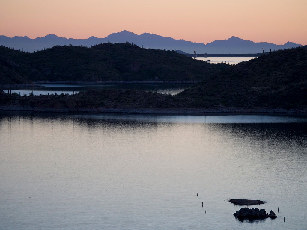
Lake Pleasant
- Boat Ramps
- 6
- Access Points
- 6
- Campsites
- 6
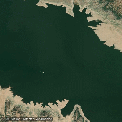
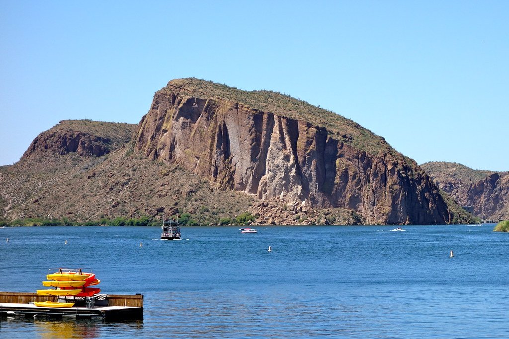
Lake Pleasant, located northwest of Phoenix, Arizona, offers excellent paddling opportunities with 116 miles of shoreline to explore. The lake is approximately 126 feet deep and spans 6 miles in length, featuring islands, canyons, and cliffs that add interest for kayakers and stand-up paddleboarders.
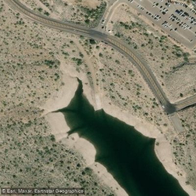
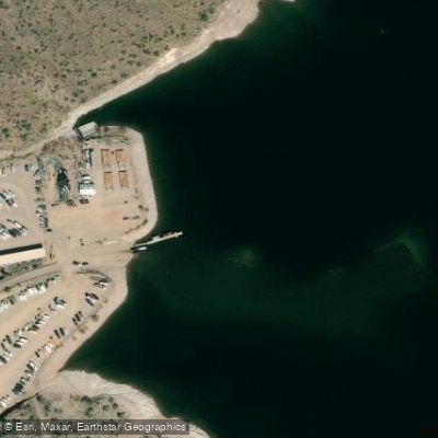
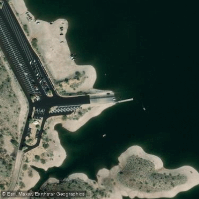
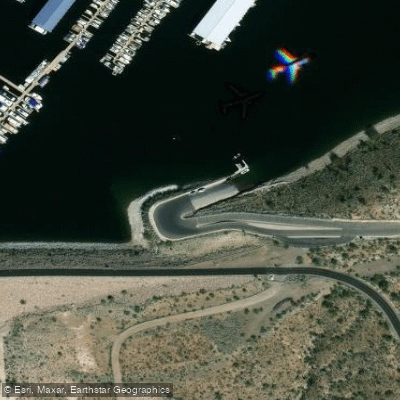
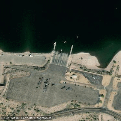
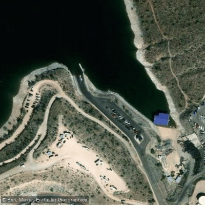
Three main launch sites are available: a four-lane boat launch at the north entrance, a ten-lane boat ramp at the west main entrance, and the Lake Pleasant Harbor Boat Launch on the southeast end. Shoreline launching is prohibited. A $7 vehicle entry fee applies, with an additional $2 fee for personal kayaks.
Spring and fall provide the most comfortable paddling conditions. Early mornings, preferably before 7 AM, are ideal for wildlife viewing and calmer waters. Summers can be extremely hot, with July temperatures averaging 106°F. Weekends tend to be busy with increased boat traffic, so paddlers should stay close to shore for safety.
Notable areas to explore include the islands in the middle of the lake, which offer rest spots and scenic views. The Pipeline Canyon Trail, accessible by kayak, features a two-mile hiking trail with a floating bridge. Narrow coves along the shoreline provide opportunities to spot wildlife like bald eagles and bobcats.
Regulations require children under 12 to wear life jackets. Kayaks used after dark must have lighting, and all vessels under 39.4 feet need a horn or whistle. The lake's weather can change quickly, so checking forecasts before launching is essential.
Rental options are available at Pleasant Harbor Marina and other locations around the lake, typically including all necessary equipment. Full moon kayak tours are offered, providing unique nighttime paddling experiences with views of wildlife and bonfires.
Lake Pleasant's waters originate from the Colorado River via the CAP Canal and runoff from the Aqua Fria River. The lake serves as a reservoir for Phoenix and Tucson, surrounded by mountain views that create a scenic paddling environment.
Water access, boat ramps & amenities
Learn how to get on Lake Pleasant. Uncover great paddling access points, boat ramps, and all the facilities you need for an unforgettable day on the water. Some locations shown may border or include private property. Always check property boundaries and applicable regulations before visiting. PaddleWays's Public & Private Land layer can help you plan your access with confidence.
Paddle smarter with real-time insights
Whether you're en route and conditions shift or you're looking for the best spot based on current flows, we enable you to make informed decisions on the fly.








Find Places to Paddle

Over 400,000 Places to Paddle
Every user gets free access to launch points, boat ramps, and public property parcels.


Water and weather conditions (10 day forecast)
See the best times to paddle Lake Pleasant and check the forecast before you go.
No forecast data available.
Explore Arizona waters
Top paddling waters
Popular Cities
Loading popular cities...
Explore near Lake Pleasant
Access points
- Lake Pleasant Regional Park #1 Boat Ramp
- Scorpian Bay Boat Ramp
- Castle Creek Boat Ramp
- Pleasant Harbor #2 Boat Ramp
- Lake Pleasant Regional Park #2 Boat Ramp
- Pleasant Harbor #1 Boat Ramp
- Cottonwood Creek Cma Bridge
- Agua Fria River Bridge
- New River Bridge
- Little Squaw Creek Bridge
- New River Bridge
- New River Bridge
- All 22 spots
More in Arizona

Smarter Paddling Starts in the App.
Paddleways gives you everything you need to plan smarter, paddle better, and own every trip from first launch to takeout.