Oak Creek
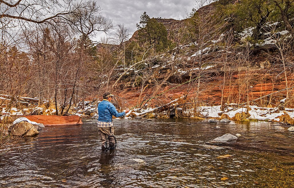
Oak Creek
- Boat Ramps
- 1
- Access Points
- 11
- Campsites
- 12
Oak Creek originates from springs near Sterling Springs Fish Hatchery in the high country north of Sedona, flowing approximately 50 miles southwest through a dramatic 2,500-foot descent before joining the Verde River near Cornville. The creek carves through Oak Creek Canyon, one of Arizona's most striking gorges, where towering red and white limestone cliffs frame the waterway as it passes through Coconino and Yavapai counties.
Paddling opportunities on Oak Creek range from technical whitewater to gentle floats. The upper canyon sections from Manzanita Campground to Indian Gardens present Class III-IV whitewater with strainers, boulders, and log jams requiring advanced skills. The Indian Gardens to Highway 179 Bridge segment maintains Class IV difficulty with major rapids and potential portages around bridges during high water. Below Sedona, the creek mellows considerably—the Sedona to Red Rock Crossing stretch offers Class II-III water suitable for intermediate paddlers, while the lower sections from Page Springs to Cornville provide Class I-II conditions accessible to beginners.
Skill requirements vary dramatically by section. Upper canyon runs demand expert whitewater navigation and swift-water rescue capabilities, while lower reaches accommodate recreational kayakers and families. Water levels fluctuate significantly, with the most reliable flows occurring during spring snowmelt (March-May) and following summer monsoons. Winter can bring ice, and late summer often sees diminished flows except after storms.
The riparian corridor supports Arizona alder, sycamore, walnut, and willow trees alongside diverse wildlife including great blue herons, belted kingfishers, river otters, and various trout species. Rainbow and brown trout inhabit the cooler upper reaches, while bass and catfish populate warmer downstream sections.
Key landmarks include Slide Rock State Park, a natural water slide formed in red Schnebly Hill Formation sandstone; the Chapel of the Holy Cross; and Red Rock Crossing with its iconic Cathedral Rock backdrop. The West Fork confluence marks a significant tributary junction.
Primary access points include Manzanita Campground, Indian Gardens, Grasshopper Point, and various developed sites along Highway 89A in the canyon. Sedona serves as the main hub for canyon access, while Cornville provides lower creek entry. Page Springs offers mid-reach access between the communities.
Native American peoples, particularly the Sinagua and Yavapai, occupied the canyon for centuries, leaving cliff dwellings and archaeological sites. Early Anglo settlers established homesteads and orchards in the late 1800s, with Slide Rock's Pendley Homestead representing this era.
Paddlers must navigate narrow road shoulders, limited parking, and restricted access areas. Red Rock Passes are required at many Forest Service sites. Glass containers are prohibited. The upper canyon's technical nature and potential for entrapment hazards demand proper safety equipment and experience. No multi-day paddling trips are typically conducted due to the creek's relatively short length and proximity to road access.
Water access, boat ramps & amenities
Learn how to get on Oak Creek. Uncover great paddling access points, boat ramps, and all the facilities you need for an unforgettable day on the water. Some locations shown may border or include private property. Always check property boundaries and applicable regulations before visiting. PaddleWays's Public & Private Land layer can help you plan your access with confidence.
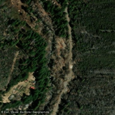
Banjo Bill Picnic Area Access
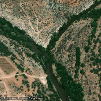
Verde River Confluence Access
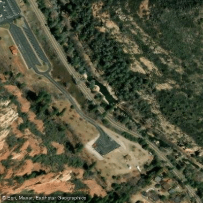
Slide Rock State Park
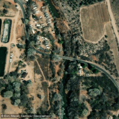
Page Springs Access
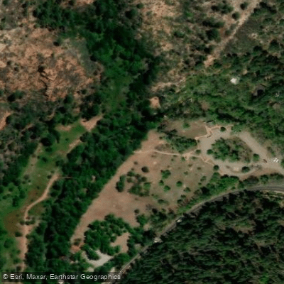
West Fork Oak Creek Trailhead Access
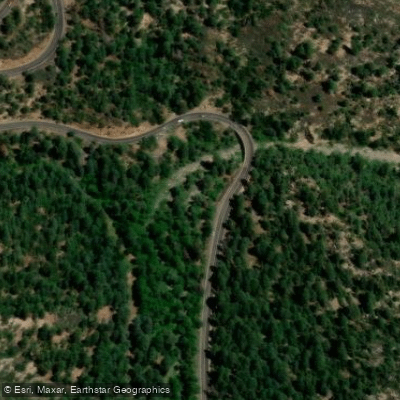
Pumphouse Wash Trailhead Access
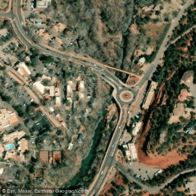
Highway 179 Bridge Access
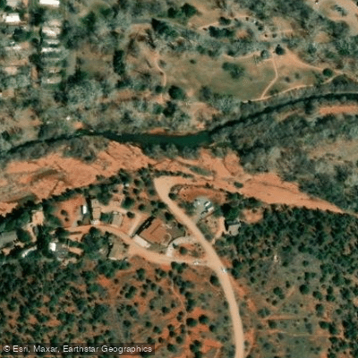
Red Rock Crossing Access
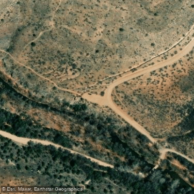
Will Point Road Accessss
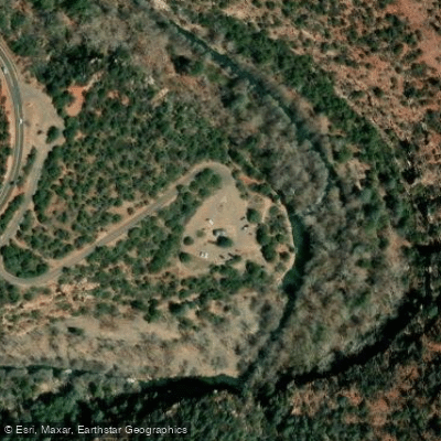
Grasshopper Point Picnic Area Access
Paddle smarter with real-time insights
Whether you're en route and conditions shift or you're looking for the best spot based on current flows, we enable you to make informed decisions on the fly.








Find Places to Paddle

Over 400,000 Places to Paddle
Every user gets free access to launch points, boat ramps, and public property parcels.


Water and weather conditions (10 day forecast)
See the best times to paddle Oak Creek and check the forecast before you go.
OAK CREEK NEAR CORNVILLE, AZ
All Flow Stations
Paddling near Oak Creek
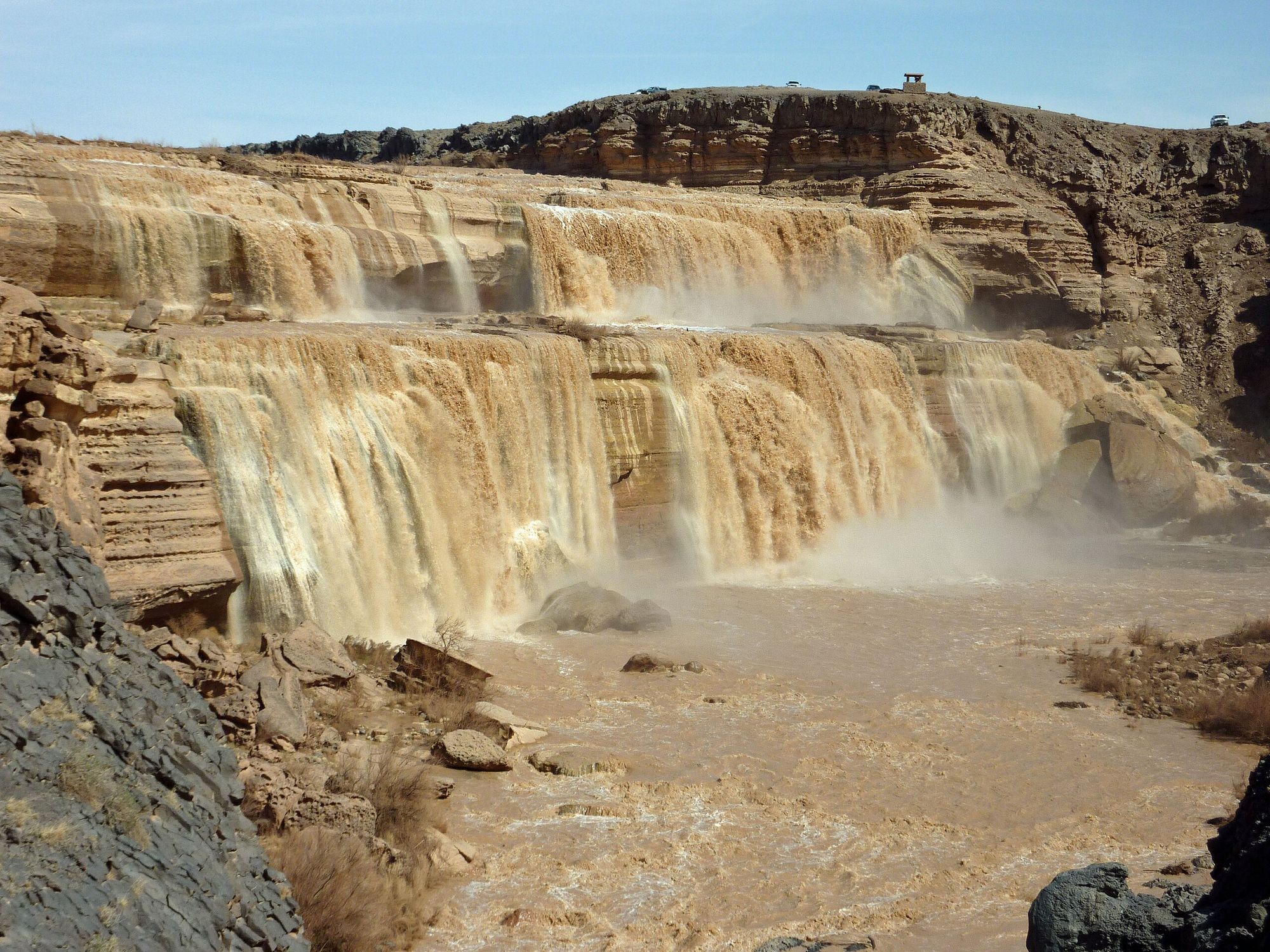
Little Colorado River
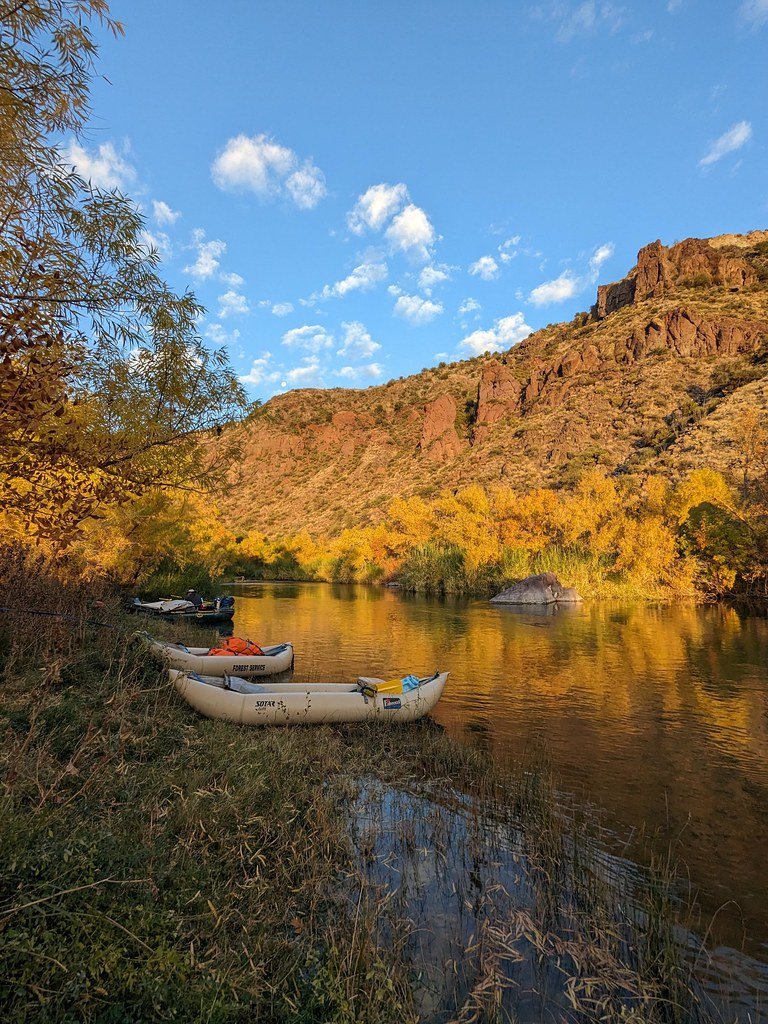
Verde River
Upper Lake Mary
Marshall Lake
Walnut Creek
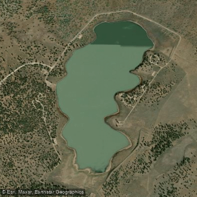
Ashurst Lake
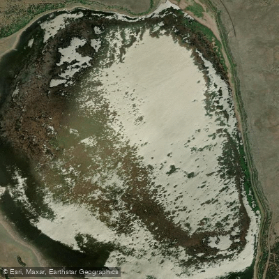
Mormon Lake
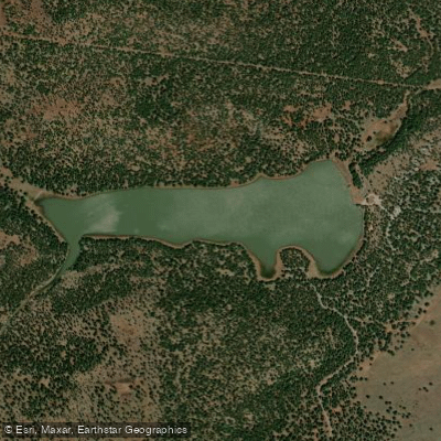
Dogtown Reservoir
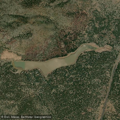
Kaibab Lake
Explore Arizona waters
Top paddling waters
Popular Cities
Loading popular cities...
Explore near Oak Creek
Access points
- Indian Gardens Bridge Boat Ramp
- Banjo Bill Picnic Area Access
- Verde River Confluence Access
- Slide Rock State Park
- Page Springs Access
- West Fork Oak Creek Trailhead Access
- Pumphouse Wash Trailhead Access
- Highway 179 Bridge Access
- Red Rock Crossing Access
- Will Point Road Accessss
- Grasshopper Point Picnic Area Access
- A.B. Young Trailhead Access
- All 56 spots
Nearby waters
More in Arizona

Smarter Paddling Starts in the App.
Paddleways gives you everything you need to plan smarter, paddle better, and own every trip from first launch to takeout.