Agua Fria River
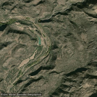
Agua Fria River
- Boat Ramps
- 0
- Access Points
- 4
- Campsites
- 7
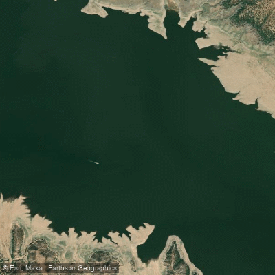
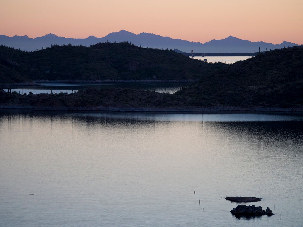
The Agua Fria River, Spanish for "cold water," is a 120-mile long intermittent stream that flows through central Arizona. Beginning its journey about 20 miles northeast of Prescott, the river winds its way south through diverse landscapes before ultimately emptying into Lake Pleasant north of Phoenix.
This dynamic waterway offers a range of paddling experiences, from challenging whitewater runs to serene flatwater stretches. The upper sections, particularly from Bloody Basin Road to Black Canyon City, provide some of Arizona's most exhilarating whitewater, with Class IV-V rapids coursing through remote, scenic canyons. This 18-20 mile stretch is best suited for experienced paddlers and typically takes a full day to navigate.
As the river approaches Lake Pleasant, it transitions to more moderate Class III-IV rapids, offering opportunities for intermediate paddlers. The final stretch into Lake Pleasant becomes increasingly placid, allowing for a unique paddling experience that combines both river and lake environments.
The Agua Fria's flow is highly seasonal, with the best paddling opportunities typically occurring during spring runoff or after significant rainfall events. Late winter to early spring often provides the most reliable water levels for whitewater enthusiasts, while the lower sections near Lake Pleasant can be paddled year-round.
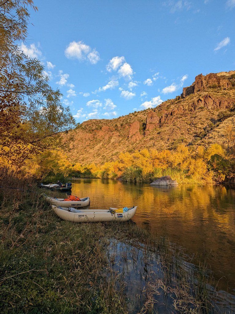
The river corridor supports a rich ecosystem, home to diverse flora and fauna adapted to the arid environment. Paddlers may encounter desert wildlife such as coyotes, bobcats, and various bird species. The surrounding landscape transitions from high desert plateaus to rugged canyons, offering spectacular scenery throughout the journey.
Notable landmarks along the Agua Fria include the Agua Fria National Monument, which protects over 70,000 acres of pristine desert landscape and archaeological sites. The river also passes through the picturesque "Black Canyon" before reaching Lake Pleasant, providing paddlers with stunning vistas of the surrounding Bradshaw Mountains.
Access points vary along the river's course. Popular put-ins include Bloody Basin Road and Badger Creek for the upper sections, while Black Canyon City serves as a common take-out point. For those interested in the lower stretches, Table Mesa Road provides access closer to Lake Pleasant.
The Agua Fria holds cultural significance, with evidence of ancient Puebloan settlements along its banks. The river has played a crucial role in supporting human habitation in this arid region for thousands of years.
Safety considerations are paramount when paddling the Agua Fria. The river's intermittent nature means water levels can change rapidly, and paddlers should always check current conditions before embarking. The remote nature of some sections requires self-sufficiency and proper safety equipment.
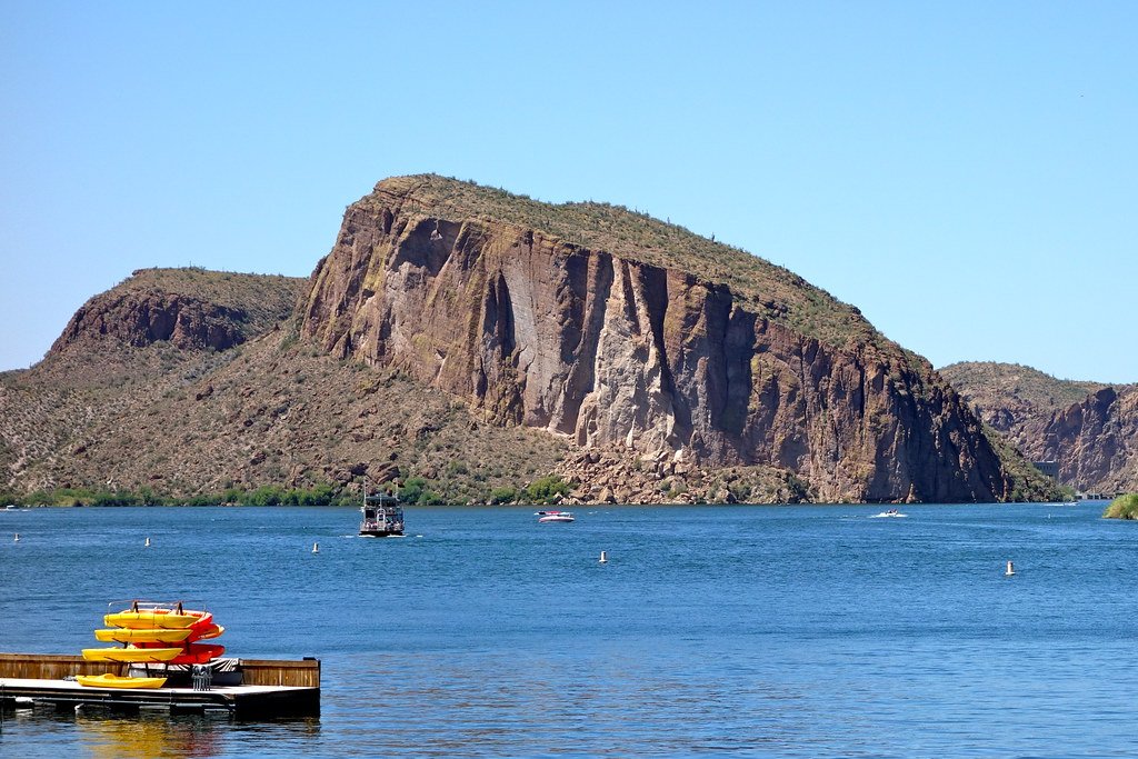
While multi-day trips are possible on the Agua Fria, they are less common due to the river's variable flow. However, adventurous paddlers can combine a river run with camping along the shores of Lake Pleasant for an extended outdoor experience.
Whether seeking heart-pounding whitewater action or a peaceful paddle through scenic desert landscapes, the Agua Fria River offers a unique and rewarding adventure for those willing to explore this hidden gem of central Arizona.
Water access, boat ramps & amenities
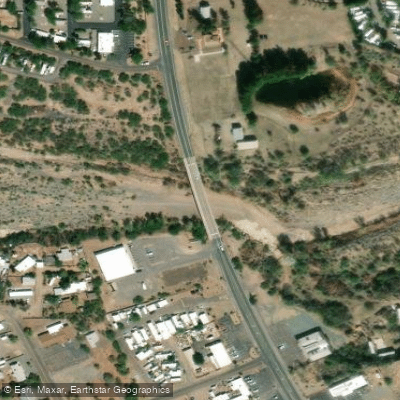
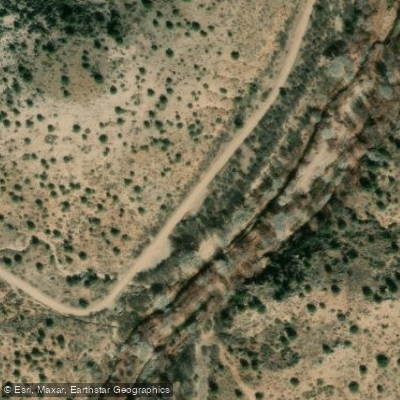
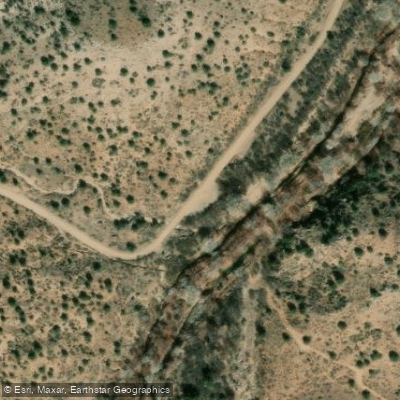
Learn how to get on Agua Fria River. Uncover great paddling access points, boat ramps, and all the facilities you need for an unforgettable day on the water. Some locations shown may border or include private property. Always check property boundaries and applicable regulations before visiting. PaddleWays's Public & Private Land layer can help you plan your access with confidence.
Paddle smarter with real-time insights
Whether you're en route and conditions shift or you're looking for the best spot based on current flows, we enable you to make informed decisions on the fly.








Find Places to Paddle

Over 400,000 Places to Paddle
Every user gets free access to launch points, boat ramps, and public property parcels.


Water and weather conditions (10 day forecast)
See the best times to paddle Agua Fria River and check the forecast before you go.
AGUA FRIA RIVER NEAR ROCK SPRINGS, AZ
All Flow Stations
Explore Arizona waters
Top paddling waters
Popular Cities
Loading popular cities...
Explore near Agua Fria River
Access points
- Black Canyon City Access
- Agua Fria Low Water Crossing Access Point
- Riverbend Recreation Parking Area
- Riverbend Recreation Area Parking Area
- Riverbend Recreation Area Parking Area
- Agua Fria River Bridge
- Agua Fria River Bridge
- Agua Fria River Bridge
- Agua Fria River Bridge
- Agua Fria River Bridge
- Agua Fria River Bridge
- Agua Fria River Bridge
- All 141 spots
More in Arizona

Smarter Paddling Starts in the App.
Paddleways gives you everything you need to plan smarter, paddle better, and own every trip from first launch to takeout.