Dinkey Creek
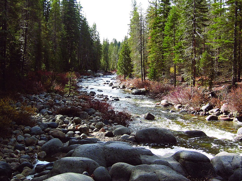
Dinkey Creek
- Boat Ramps
- 0
- Access Points
- 6
- Campsites
- 19
Dinkey Creek is a rugged and challenging whitewater river located in the Sierra National Forest of central California. Originating high in the Sierra Nevada mountains near Dinkey Lakes, the creek flows southwest for approximately 25 miles before joining the North Fork Kings River. The creek offers some of the most intense whitewater kayaking in California, with five distinct sections ranging from Class IV to V+. The upper Cascades section features extreme canyoneering with numerous waterfalls. Below this, the infamous SuperDink run drops several hundred feet in less than a mile, highlighted by a remarkable mile-long granite slide. The Cherry Bomb Falls section provides continuous Class IV-V rapids, while the Waterfalls run lives up to its name with multiple steep drops. The lower section eases to Class III-IV as the creek approaches its confluence.
Dinkey Creek requires expert-level paddling skills and is only suitable for seasoned kayakers and small rafts. The extreme gradient, technical rapids, and remote setting demand solid river-reading abilities and self-rescue skills. Most sections involve scouting, portaging, and careful line choices to navigate safely. The paddling season typically runs from April to July, depending on snowmelt. Flows between 400-800 cfs are ideal for most sections.
Access is challenging, often requiring long hikes or 4WD vehicles to reach put-ins and take-outs. The nearest town is Shaver Lake, about 15 miles northwest. The creek flows through a scenic granite canyon lined with ponderosa pines, incense cedars, and black oaks. Wildlife includes black bears, mountain lions, and a variety of birds. Notable landmarks include Dinkey Dome, a massive granite formation, and several dramatic waterfalls.
Dinkey Creek holds historical significance as one of the pioneering extreme kayaking runs in California. First descended in parts during the 1980s, it helped push the boundaries of what was possible in a kayak. Today, it remains a benchmark run for elite paddlers seeking the ultimate whitewater challenge in a remote Sierra setting. Multi-day trips combining multiple sections are possible but require careful planning and self-sufficiency.
Permits are not required, but paddlers should practice Leave No Trace ethics in this pristine wilderness area. The extreme nature of Dinkey Creek demands respect, thorough scouting, and conservative decision-making to ensure a safe descent through one of California's most legendary whitewater runs.
Water access, boat ramps & amenities
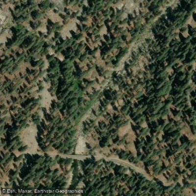
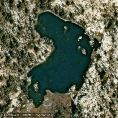
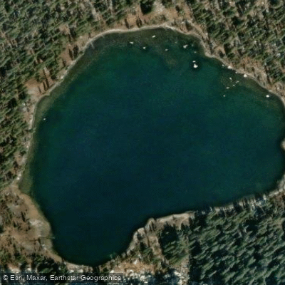
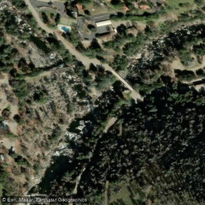
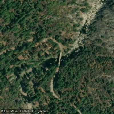
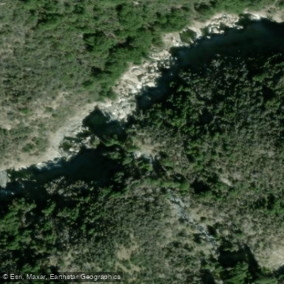
Learn how to get on Dinkey Creek. Uncover great paddling access points, boat ramps, and all the facilities you need for an unforgettable day on the water. Some locations shown may border or include private property. Always check property boundaries and applicable regulations before visiting. PaddleWays's Public & Private Land layer can help you plan your access with confidence.
Paddle smarter with real-time insights
Whether you're en route and conditions shift or you're looking for the best spot based on current flows, we enable you to make informed decisions on the fly.








Find Places to Paddle

Over 400,000 Places to Paddle
Every user gets free access to launch points, boat ramps, and public property parcels.


Water and weather conditions (10 day forecast)
See the best times to paddle Dinkey Creek and check the forecast before you go.
DINKEY CK SIPHON
Paddling near Dinkey Creek
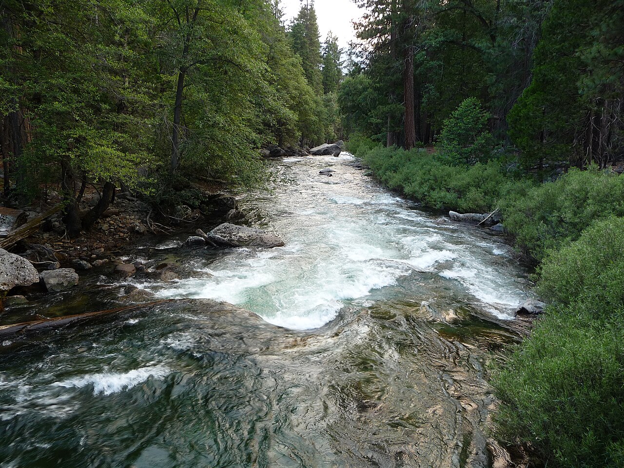
Kings River

San Joaquin River
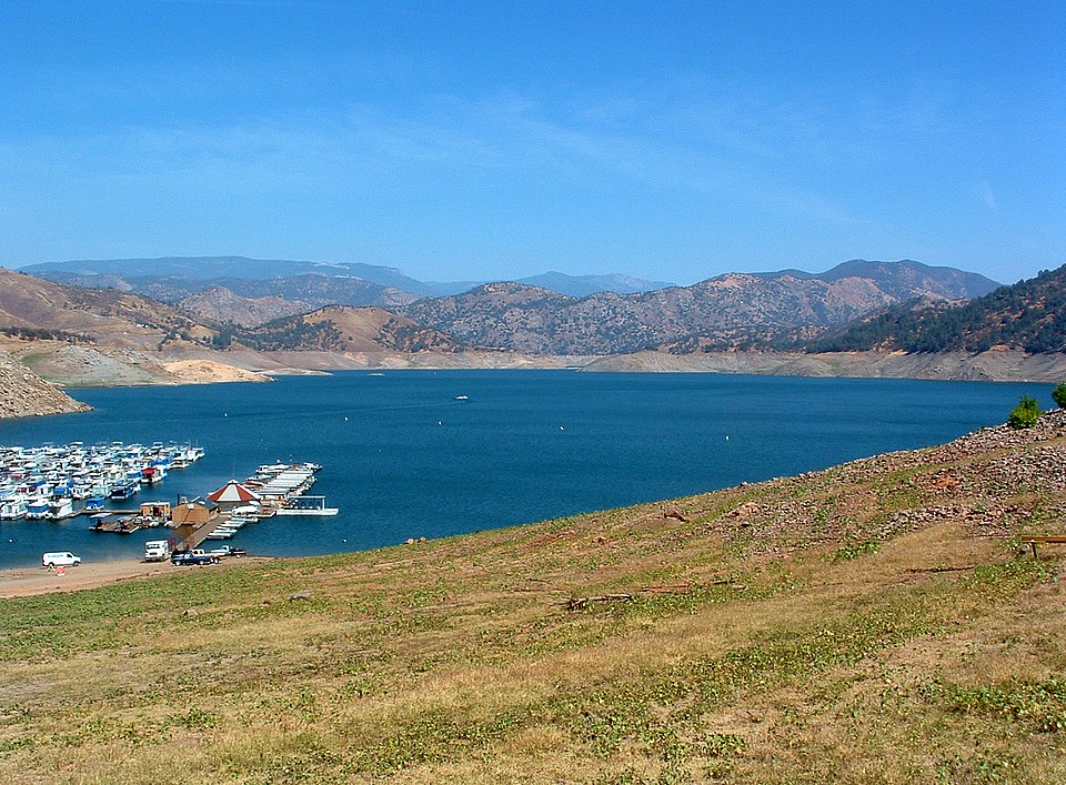
Pine Flat Lake
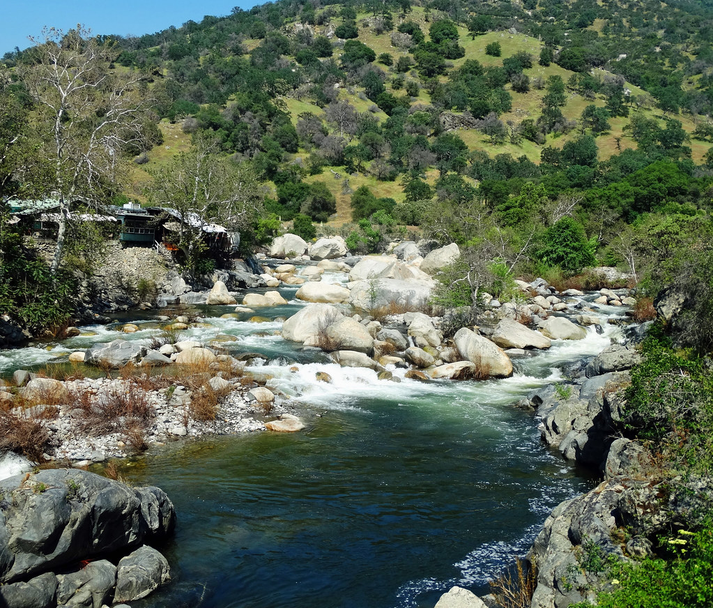
Kaweah River
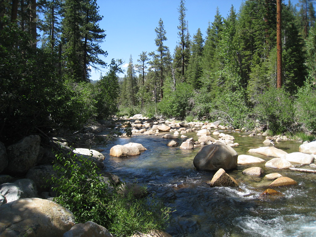
South Fork San Joaquin River
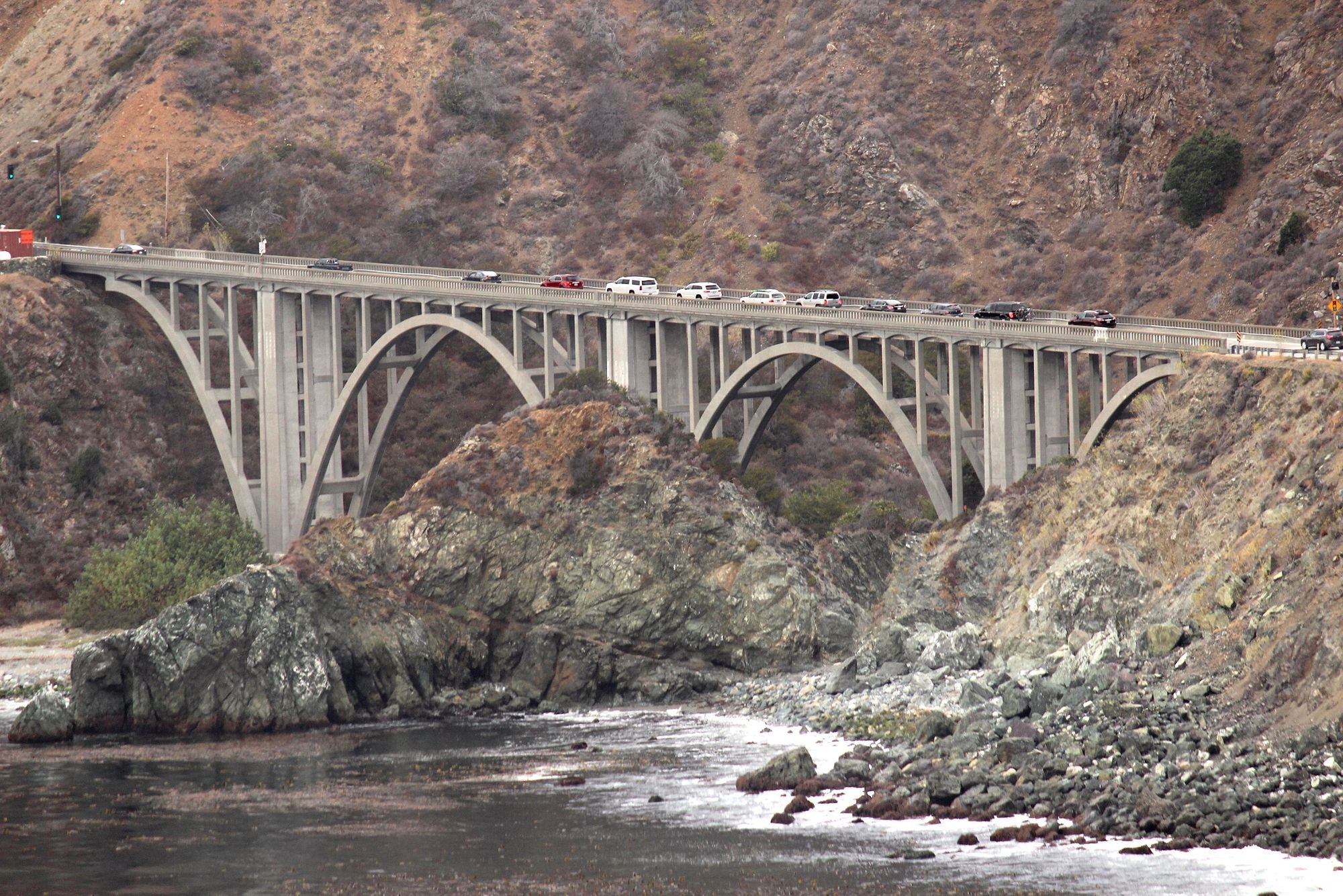
Big Creek
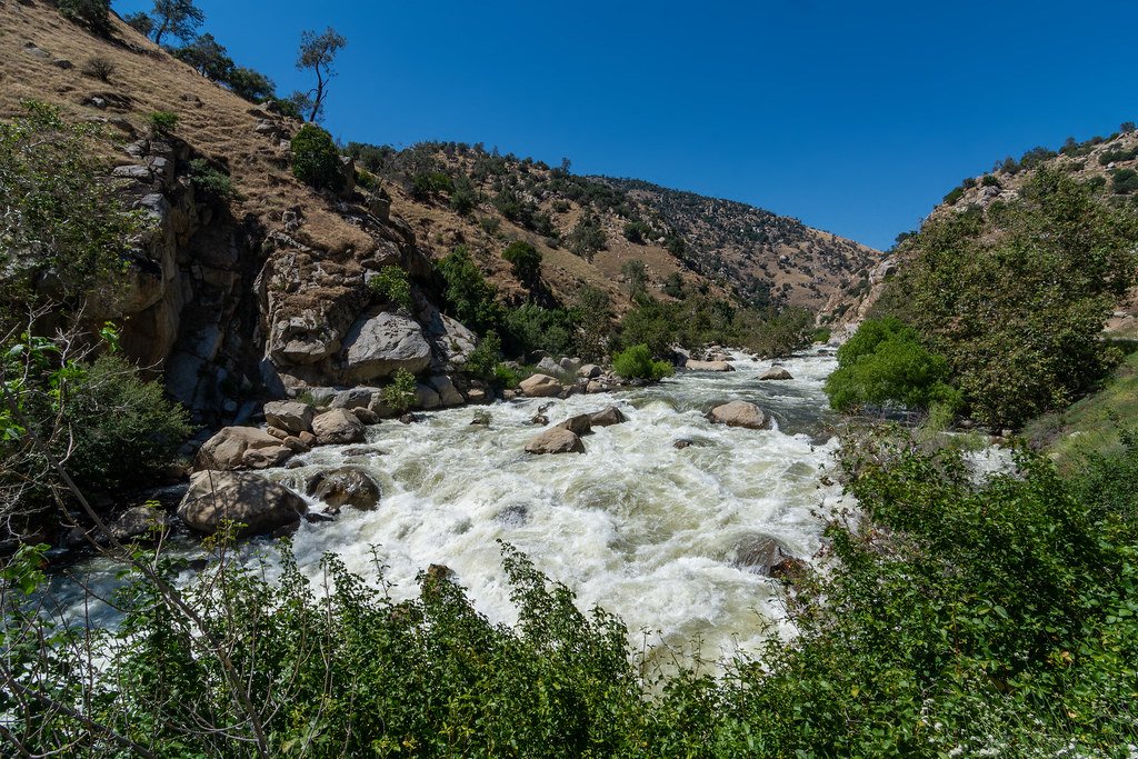
Kern River
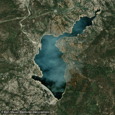
Wishon Reservoir
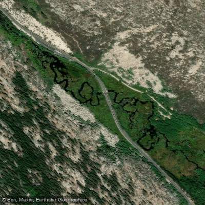
South Fork Bishop Creek
Explore California waters
Top paddling waters
Popular Cities
Loading popular cities...
Explore near Dinkey Creek
Access points
Nearby waters
More in California

Smarter Paddling Starts in the App.
Paddleways gives you everything you need to plan smarter, paddle better, and own every trip from first launch to takeout.