South Fork Bishop Creek
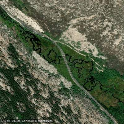
South Fork Bishop Creek
- Boat Ramps
- 1
- Access Points
- 4
- Campsites
- 15
South Fork Bishop Creek originates in the high Sierra Nevada at approximately 11,000 feet elevation, flowing northeast through the Inyo National Forest before joining the Middle and North Forks to form Bishop Creek proper. The stream descends through a classic glacially-carved canyon characterized by granite walls, alpine meadows, and scattered stands of lodgepole pine and aspen. The creek passes notable landmarks including South Lake, a reservoir at roughly 9,800 feet, and continues downstream through the community of Aspendell at 8,400 feet elevation. The South Fork maintains a relatively steep gradient throughout its course, dropping approximately 2,600 feet over its length.
Flow patterns follow typical Sierra snowmelt cycles, with peak runoff occurring from late May through early July as the winter snowpack melts. By late summer and fall, flows diminish considerably, though the creek maintains year-round flow from its high-elevation sources.
Access to South Fork Bishop Creek is primarily via Highway 168 (West Line Street), which parallels much of the drainage from Bishop up to South Lake. The creek flows approximately 14 miles southwest of Bishop, with the Aspendell community serving as a central access point. Trailheads near South Lake provide wilderness access to the headwaters region within the John Muir Wilderness.
The drainage supports a robust population of rainbow and brown trout, with the California Department of Fish and Wildlife maintaining regular stocking programs in South Lake and accessible creek sections. The surrounding ecosystem includes typical Sierra Nevada wildlife such as black bears, mule deer, and various bird species including Clark's nutcrackers and mountain chickadees. The riparian corridor features willows and alders at lower elevations, transitioning to subalpine vegetation near the headwaters.
The South Fork watershed has historical significance related to water rights and the Los Angeles Aqueduct system, as Bishop Creek waters have been subject to complex allocation agreements since the early 20th century. The creek flows through lands managed by both the U.S. Forest Service and private holdings, with the Aspendell area featuring a community sewer system that serves the residential development along the creek.
Winter access can be challenging, as Highway 168 beyond certain points may experience closures or require chains during heavy snowfall. The Inyo County Road Department maintains snow removal on county roads, though timing depends on accumulation levels and resource availability. Summer and fall typically offer the most reliable access conditions for visitors to the South Fork Bishop Creek drainage.
Water access, boat ramps & amenities
Learn how to get on South Fork Bishop Creek. Uncover great paddling access points, boat ramps, and all the facilities you need for an unforgettable day on the water. Some locations shown may border or include private property. Always check property boundaries and applicable regulations before visiting. PaddleWays's Public & Private Land layer can help you plan your access with confidence.
Paddle smarter with real-time insights
Whether you're en route and conditions shift or you're looking for the best spot based on current flows, we enable you to make informed decisions on the fly.








Find Places to Paddle

Over 400,000 Places to Paddle
Every user gets free access to launch points, boat ramps, and public property parcels.


Water and weather conditions (10 day forecast)
See the best times to paddle South Fork Bishop Creek and check the forecast before you go.
No forecast data available.
Paddling near South Fork Bishop Creek
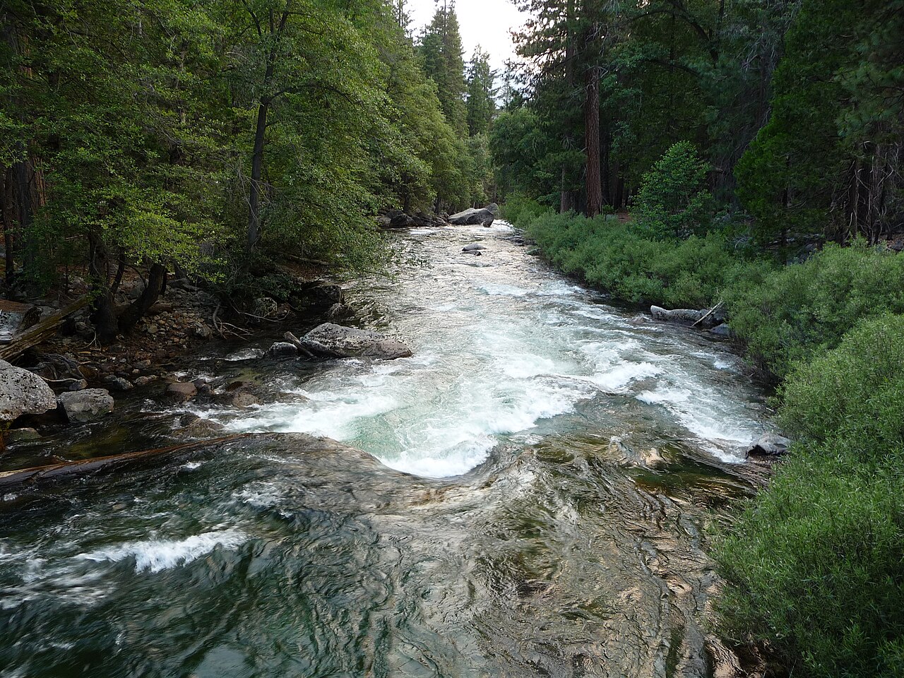
Kings River
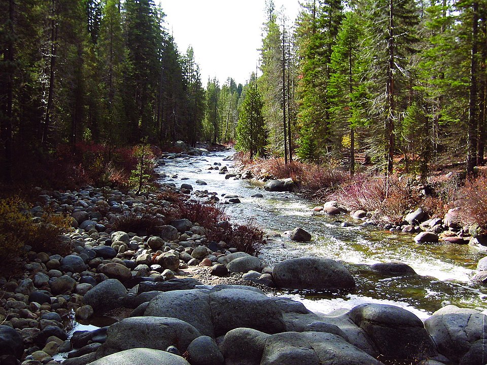
Dinkey Creek

San Joaquin River
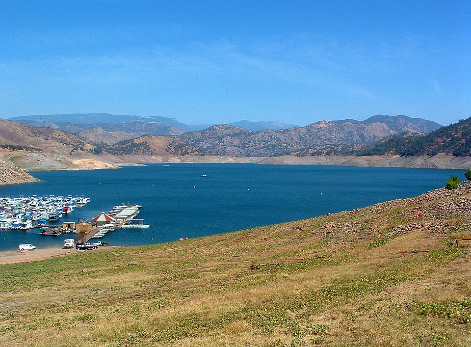
Pine Flat Lake
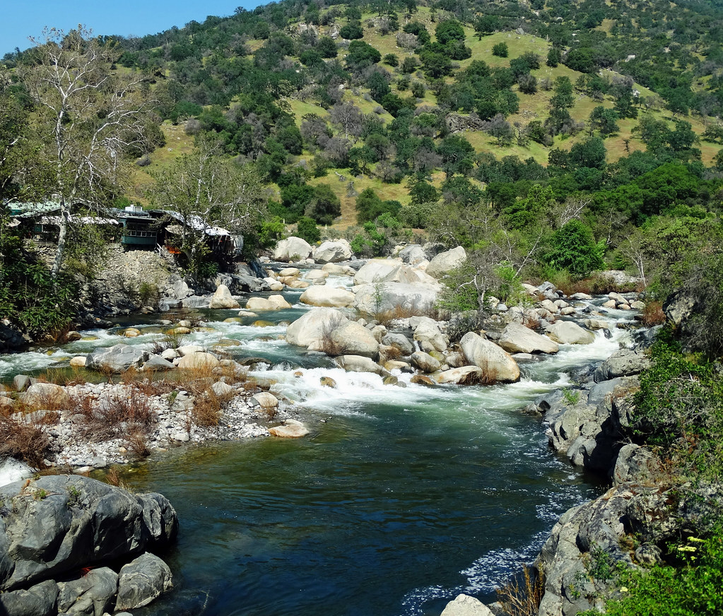
Kaweah River
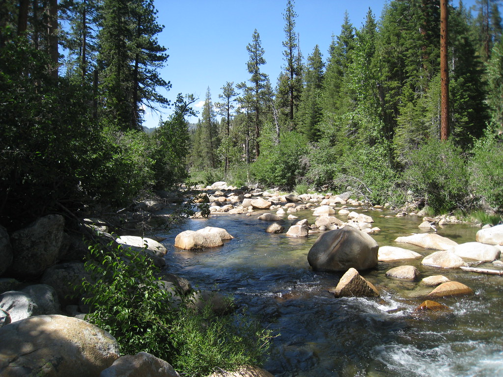
South Fork San Joaquin River
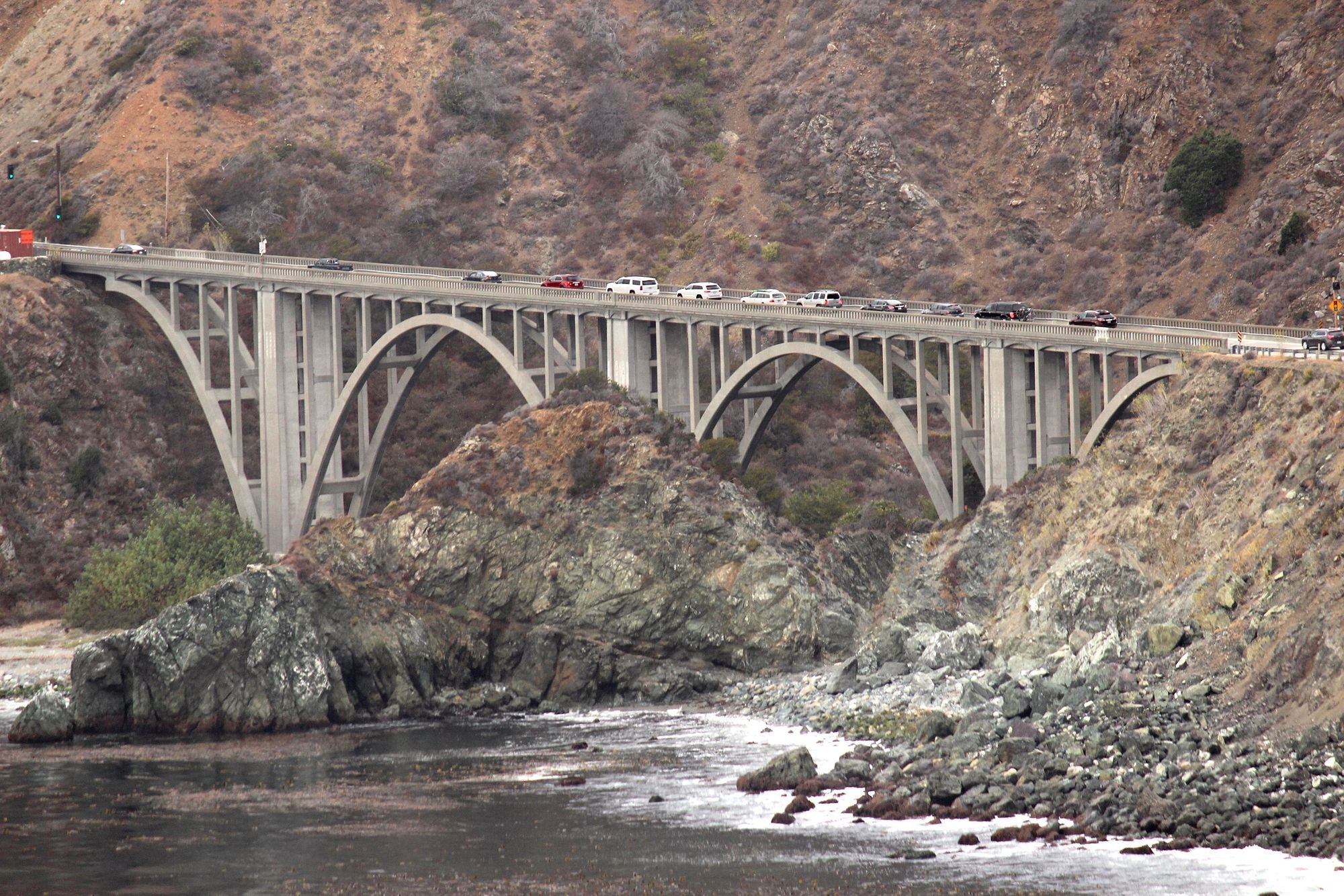
Big Creek
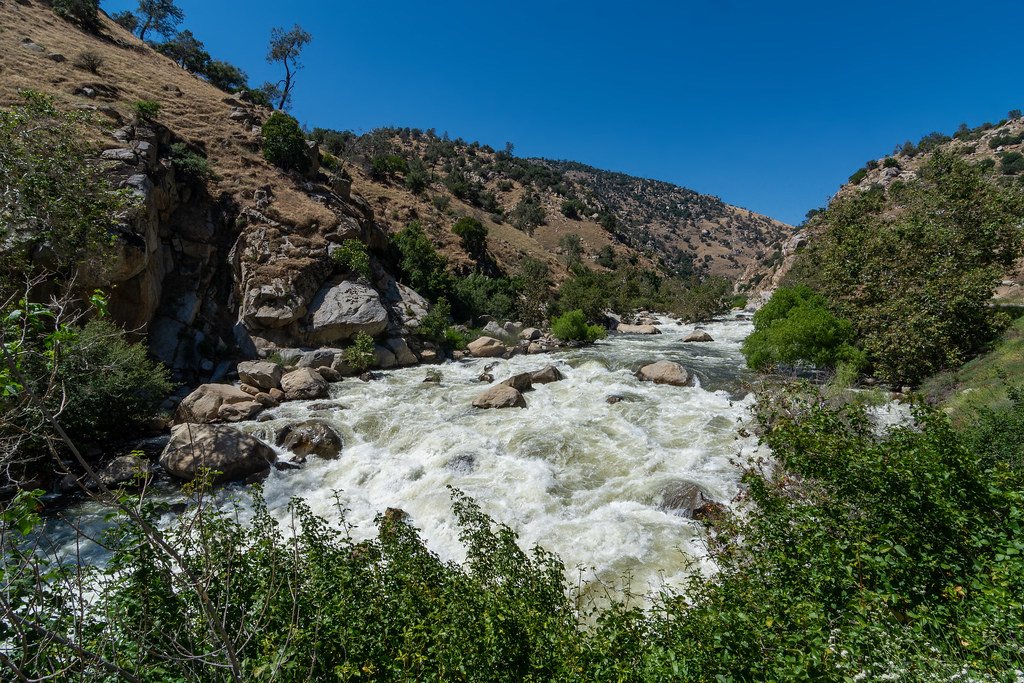
Kern River
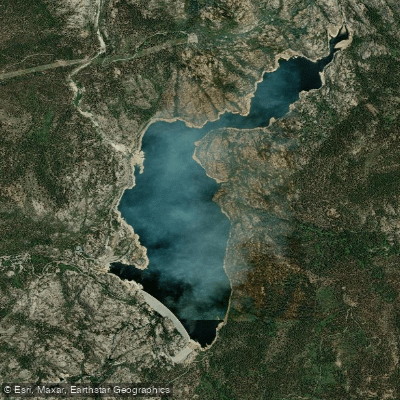
Wishon Reservoir
Explore California waters
Top paddling waters
Popular Cities
Loading popular cities...
Explore near South Fork Bishop Creek
Access points
Nearby waters
More in California

Smarter Paddling Starts in the App.
Paddleways gives you everything you need to plan smarter, paddle better, and own every trip from first launch to takeout.