Fresno River
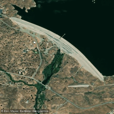
Fresno River
- Boat Ramps
- 1
- Access Points
- 3
- Campsites
- 24
The Fresno River is a challenging whitewater river located in Madera County in central California. It originates in the western foothills of the Sierra Nevada mountains and flows southwest, eventually emptying into the San Joaquin River. The river is approximately 68 miles long and is a major tributary within the San Joaquin River watershed. For whitewater enthusiasts, the Fresno River offers several notable paddling sections, with the most popular runs concentrated in the upper reaches.
The river is divided into three main whitewater sections: Goldside Drive to Road 600 (3 miles, Class III-V), Road 600 to Road 415 (11 miles, Class IV-V+), and Road 415 to Lake Hensley (12 miles, Class IV-V+). The overall difficulty ranges from intermediate to expert level, with the middle and lower sections featuring intense rapids, steep gradients, and technical boulder gardens. Paddlers should have solid whitewater skills and experience before attempting these runs. The river is best suited for kayaking and rafting during the spring snowmelt season, typically from March to May, when flows are most reliable.
The Fresno River flows through a scenic landscape characterized by oak woodlands and chaparral. Wildlife in the area includes deer, black bears, and various bird species. The river passes through the historic Grub Gulch Mining District, offering glimpses of California's Gold Rush era. Key access points include Goldside Drive off Road 600, Road 415, and the boat ramp near Hidden Dam at Lake Hensley. The nearest towns are Oakhurst and Coarsegold, with Fresno being the largest nearby city about 30 miles to the southwest.
Safety considerations are paramount on the Fresno River due to its challenging nature. Paddlers should be aware of potential hazards such as strainers, undercut rocks, and difficult portages. Scouting rapids is essential, especially in the gorge sections where the river can be unpredictable. While primarily known for its day trips, experienced paddlers may consider multi-day expeditions combining different sections. However, camping options along the river are limited, and proper planning is crucial.
The Fresno River, with its combination of accessibility and challenging whitewater, offers a thrilling experience for skilled paddlers seeking adventure in the Sierra Nevada foothills. Its dynamic character, ranging from moderate boulder gardens to intense gorge runs, makes it a notable destination in California's whitewater scene.
Water access, boat ramps & amenities
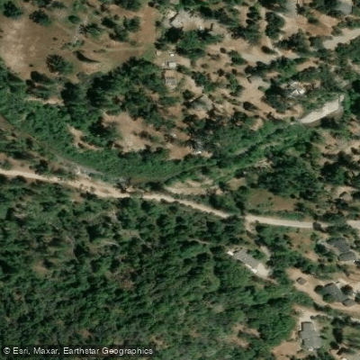
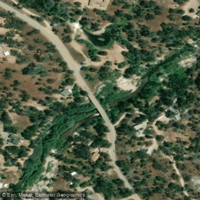
Learn how to get on Fresno River. Uncover great paddling access points, boat ramps, and all the facilities you need for an unforgettable day on the water. Some locations shown may border or include private property. Always check property boundaries and applicable regulations before visiting. PaddleWays's Public & Private Land layer can help you plan your access with confidence.
Paddle smarter with real-time insights
Whether you're en route and conditions shift or you're looking for the best spot based on current flows, we enable you to make informed decisions on the fly.








Find Places to Paddle

Over 400,000 Places to Paddle
Every user gets free access to launch points, boat ramps, and public property parcels.


Water and weather conditions (10 day forecast)
See the best times to paddle Fresno River and check the forecast before you go.
FRESNO R ABV HENLEY LAKE
Paddling near Fresno River

San Joaquin River
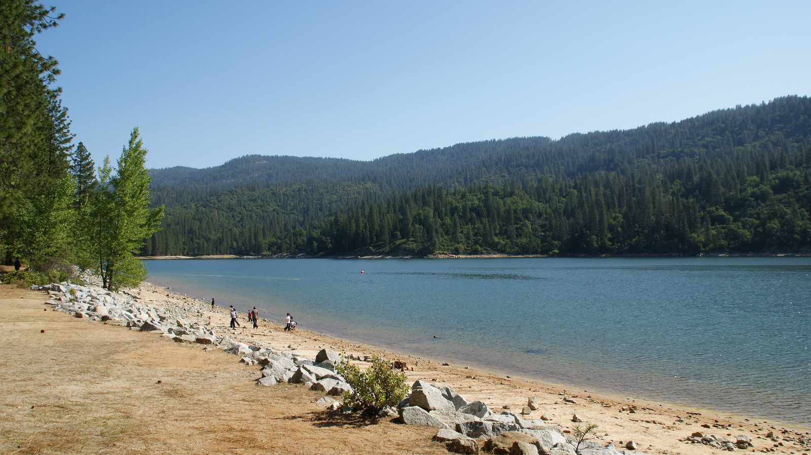
Bass Lake
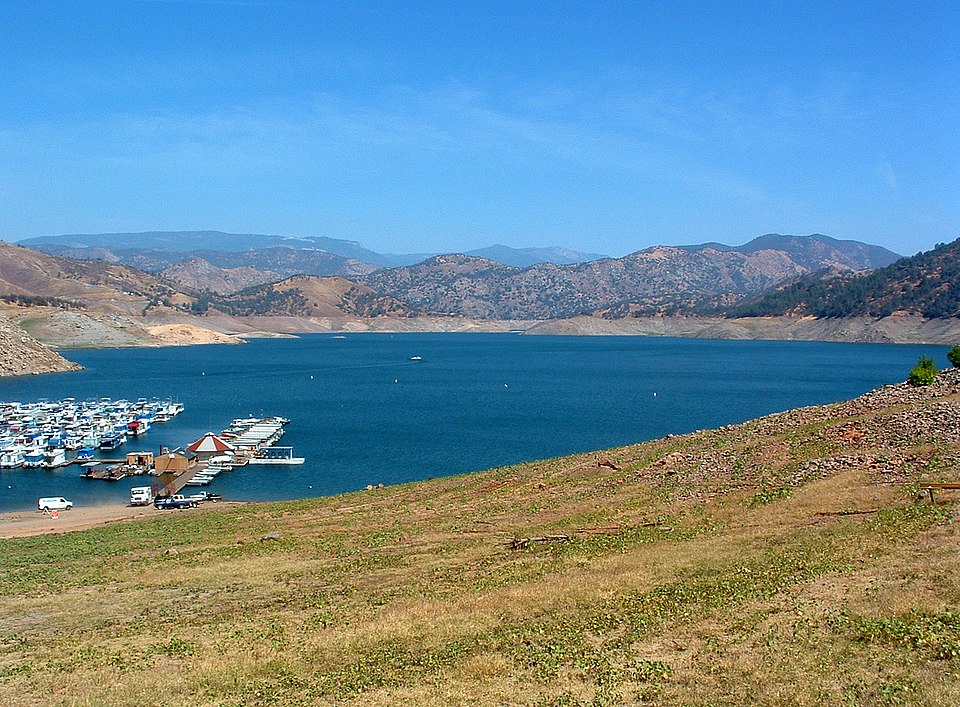
Pine Flat Lake
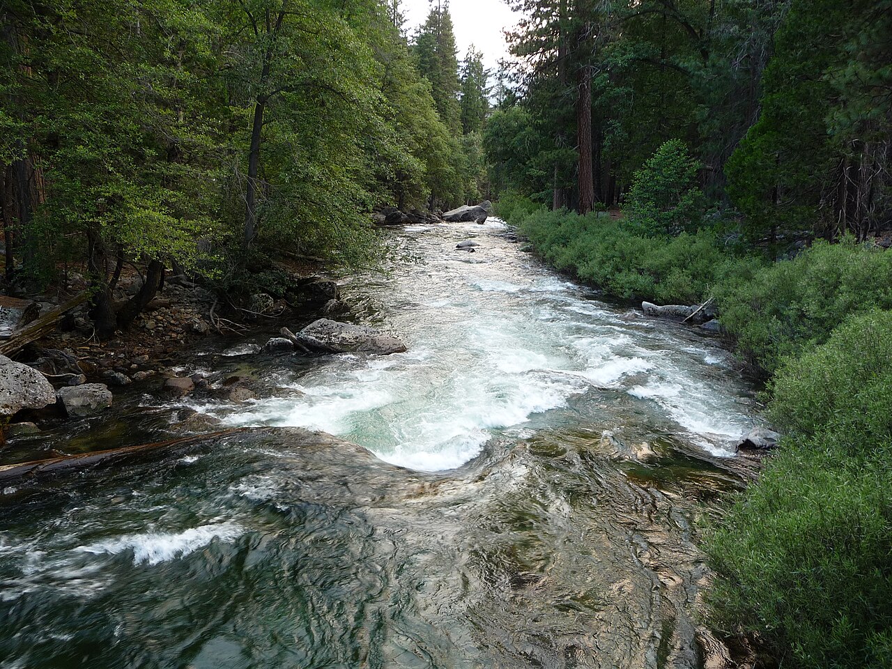
Kings River

Merced River
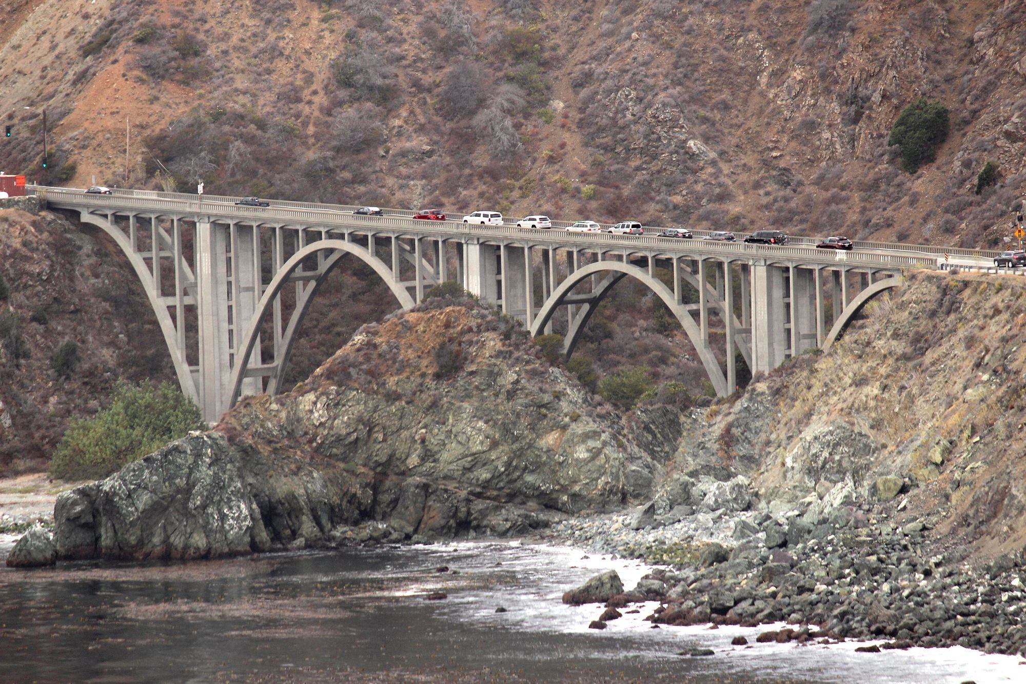
Big Creek
Millerton Lake
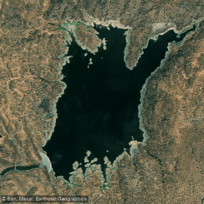
H. V. Eastman Lake
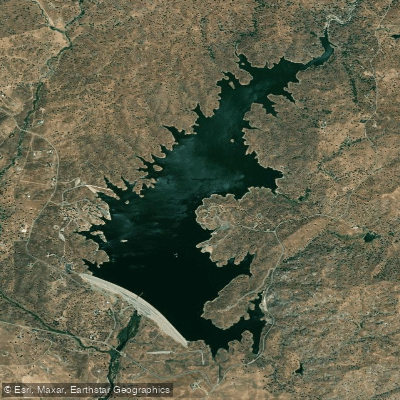
Hensley Lake
Explore California waters
Top paddling waters
Popular Cities
Loading popular cities...
Explore near Fresno River
Access points
Nearby waters
More in California

Smarter Paddling Starts in the App.
Paddleways gives you everything you need to plan smarter, paddle better, and own every trip from first launch to takeout.