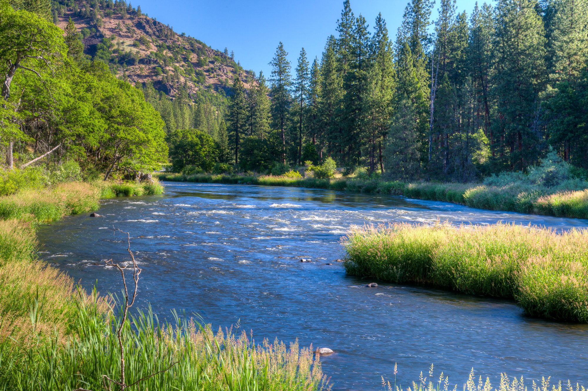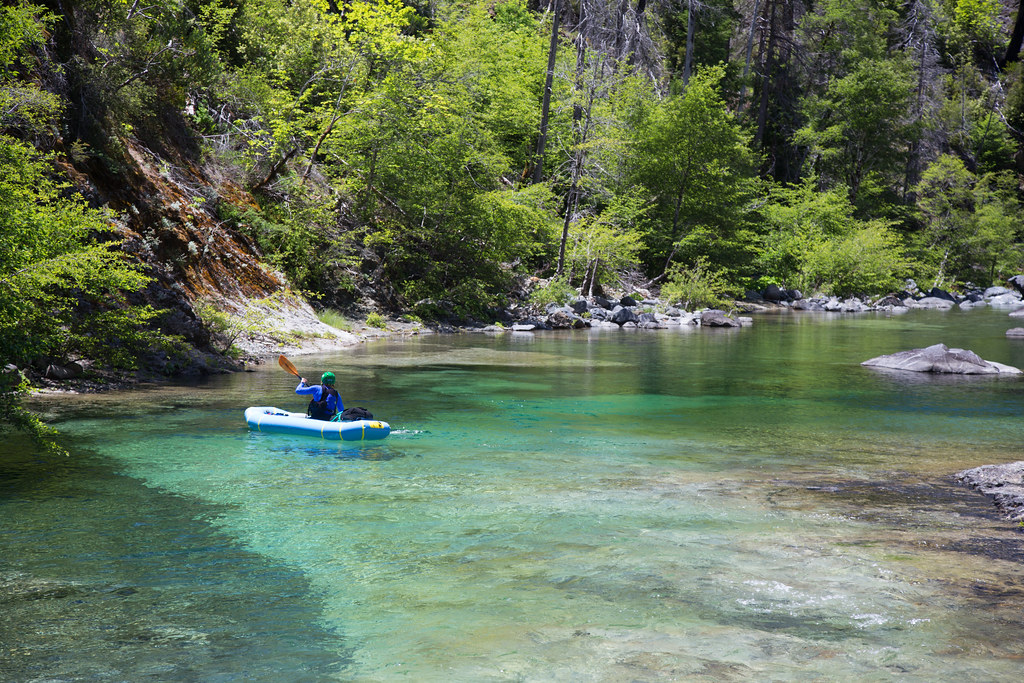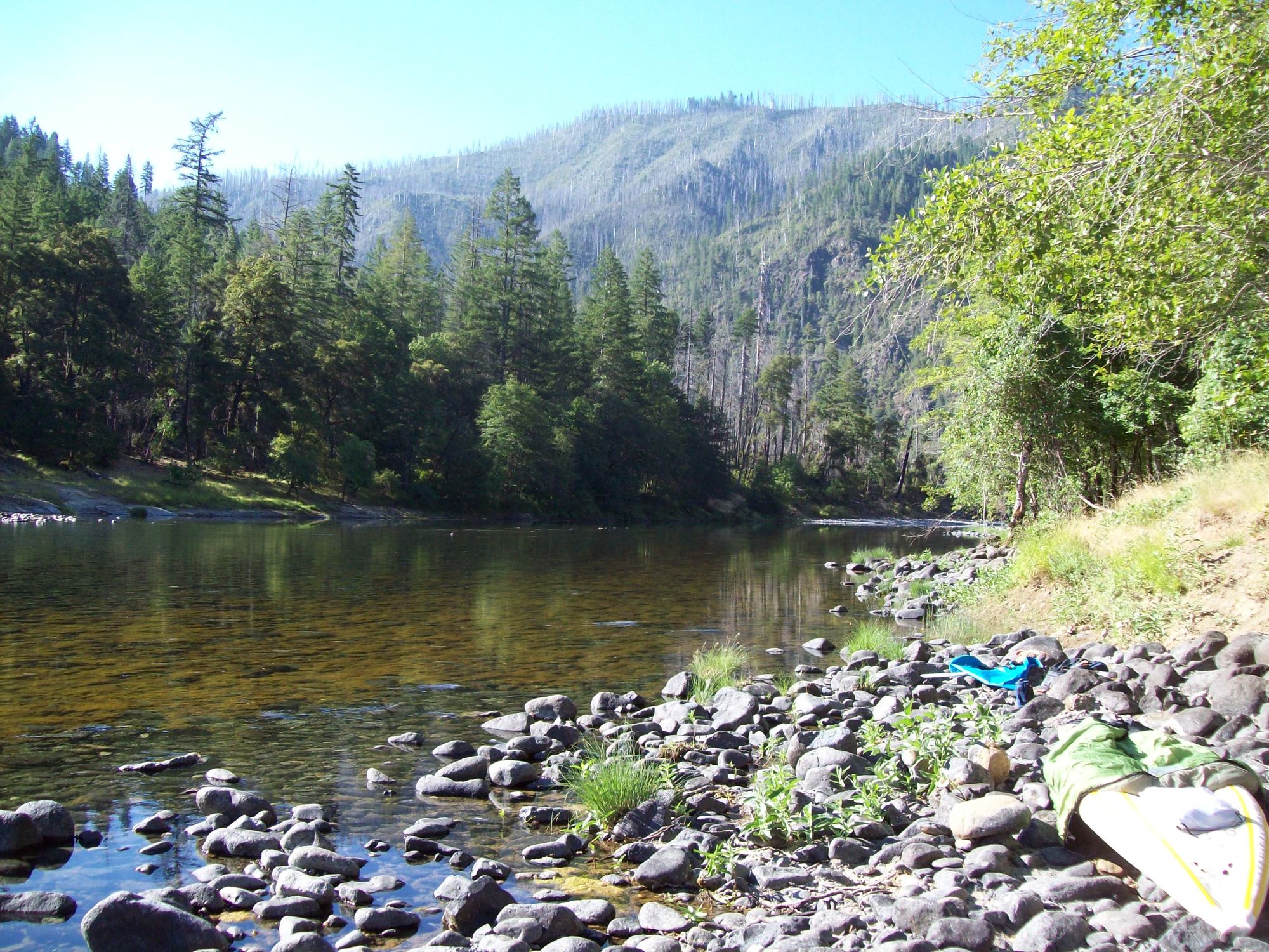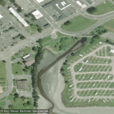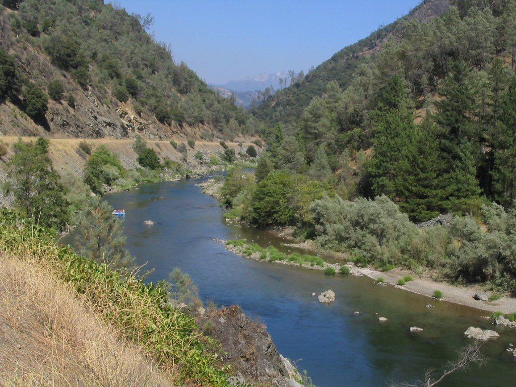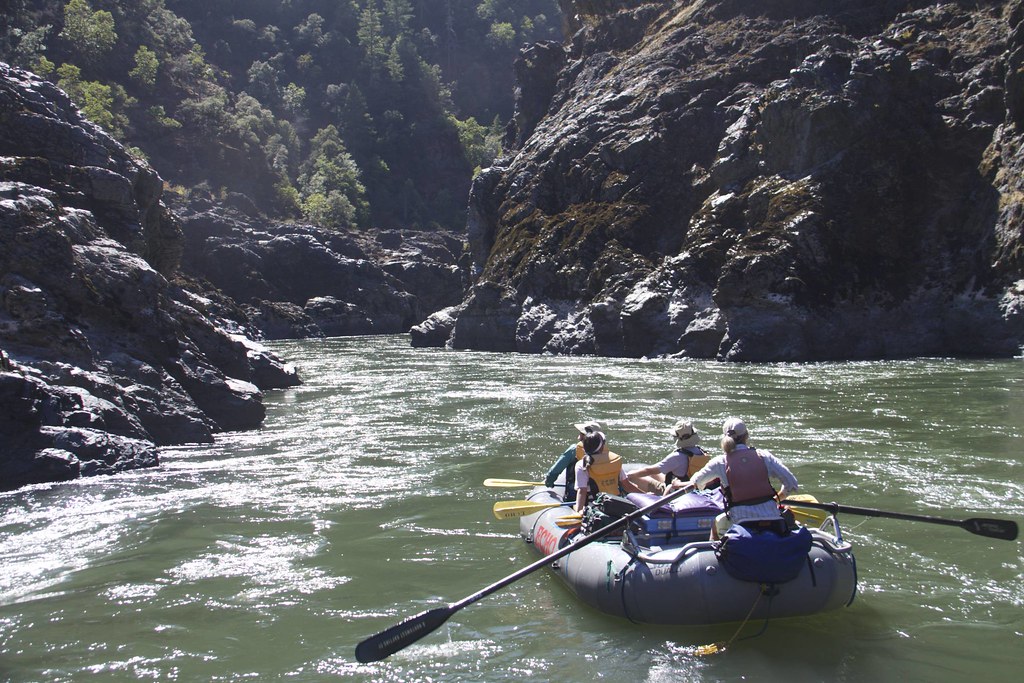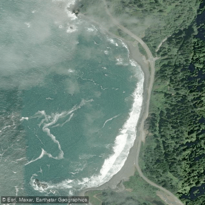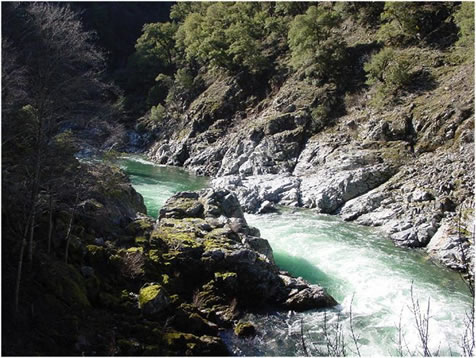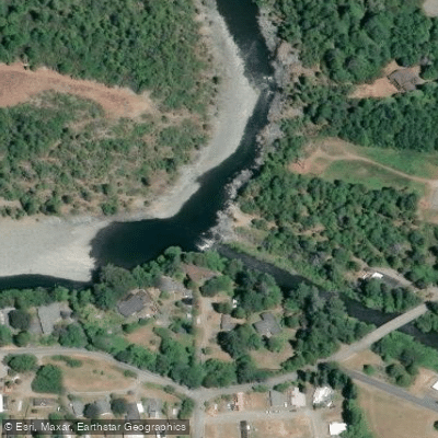
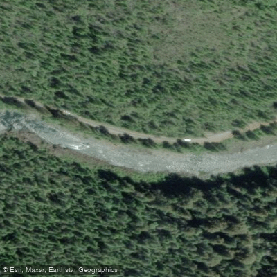
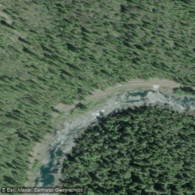
North Fork Smith Takeout

When you see the powerlines and a thick pipe just upstream of the confluence with the MF Smith, you have reached the take out if you are kayaking. Note the flow you had to help you plan for your next trip.

If you are a rafter, climbing up the rocks here might be unnappealing, and you can continue downstream another 1 1/2 mi to Margie's River Access site.


More ways to access Middle Fork Smith River

Explore the wonders of Middle Fork Smith River! Find excellent paddling spots, easy access to boat ramps, and all the amenities you need for a memorable day by the water. Your adventure starts here.

Curated routes

Routes that start or end here

Hand-picked by the PaddleWays team, with put-ins, take-outs and paddle times. Levels are read from live gauges.

Curated by PaddleWays

RouteClass IV

Distance
8.6 mi
Paddle time
~2 hrs
Best for
Experienced paddlers
Put-in → take-out
Patrick Creek Access → North Fork Smith Takeout
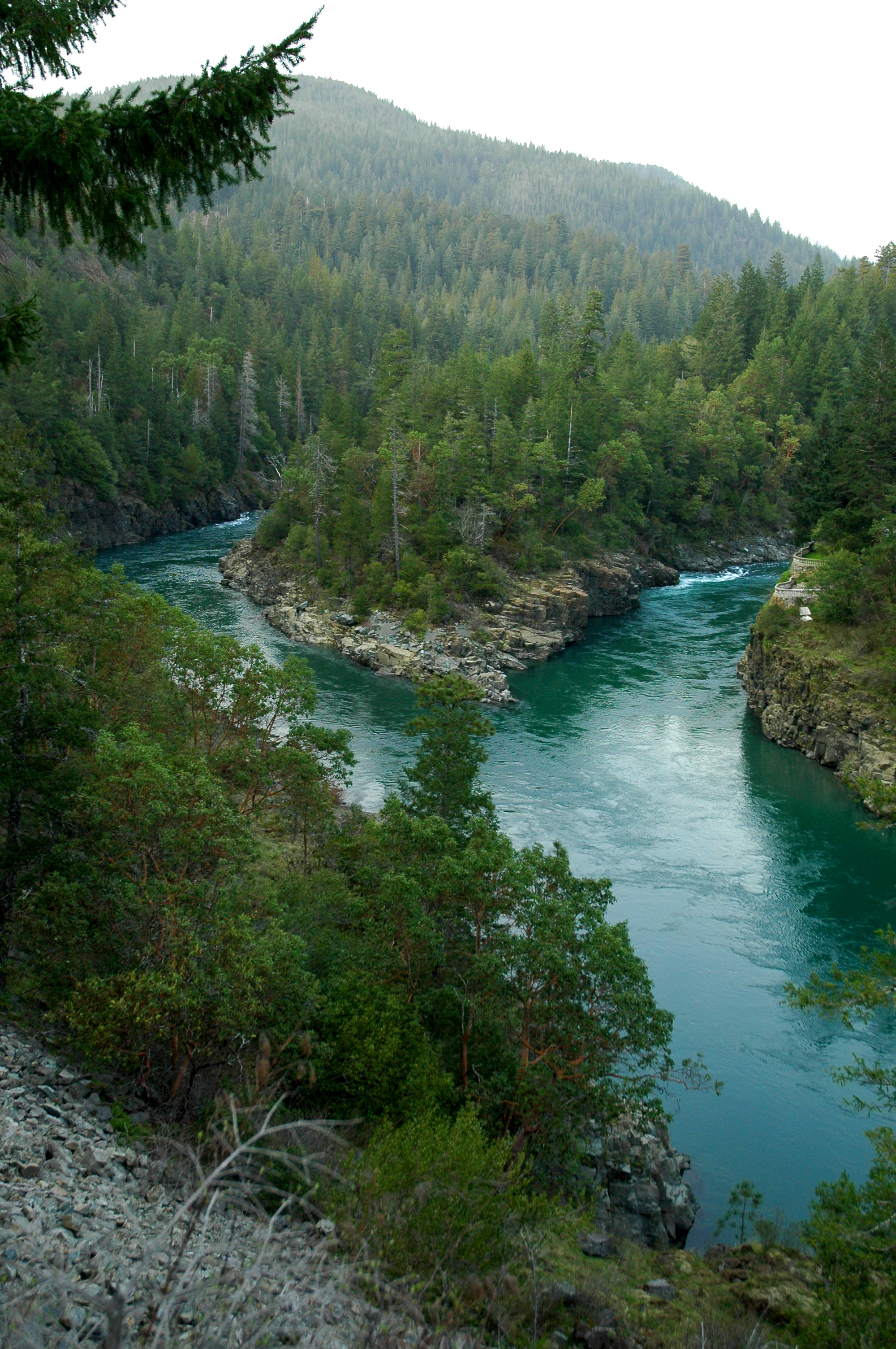
Class IV Highway Rapid at mile 2.35
Curated by PaddleWays

RouteClass IV

Distance
13.2 mi
Paddle time
~3.5 hrs
Best for
Experienced paddlers
Put-in → take-out
Major Moore's → North Fork Smith Takeout
Fully committed, gorged-in whitewater with no bail-out

Water and weather conditions (10 day forecast)

Check the forecast at North Fork Smith Takeout before you go paddling.

No forecast data available.

California licenses and regulations

Explore California waters

Top paddling waters

No waters available right now.

Popular Cities

Loading popular cities...

Smarter Paddling Starts in the App.

PaddleWays gives you everything you need to plan smarter, paddle better, and own every trip from first launch to takeout.