Curated by PaddleWays
RouteClass IV–V
- Distance
- 6.4 mi
- Paddle time
- ~1.5 hrs
- Best for
- Kayak
- Put-in → take-out
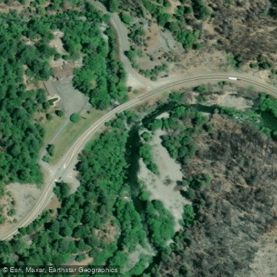
- Idlewyld Access → Patrick Creek Access
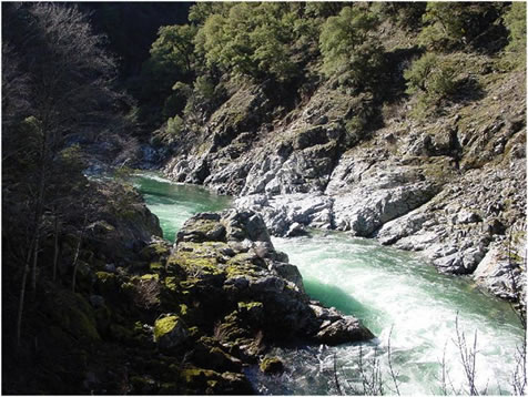
Class V gorge separating the two segments
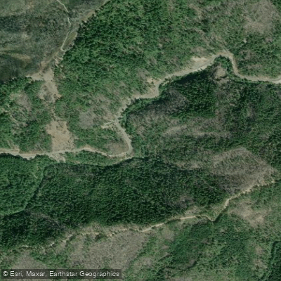
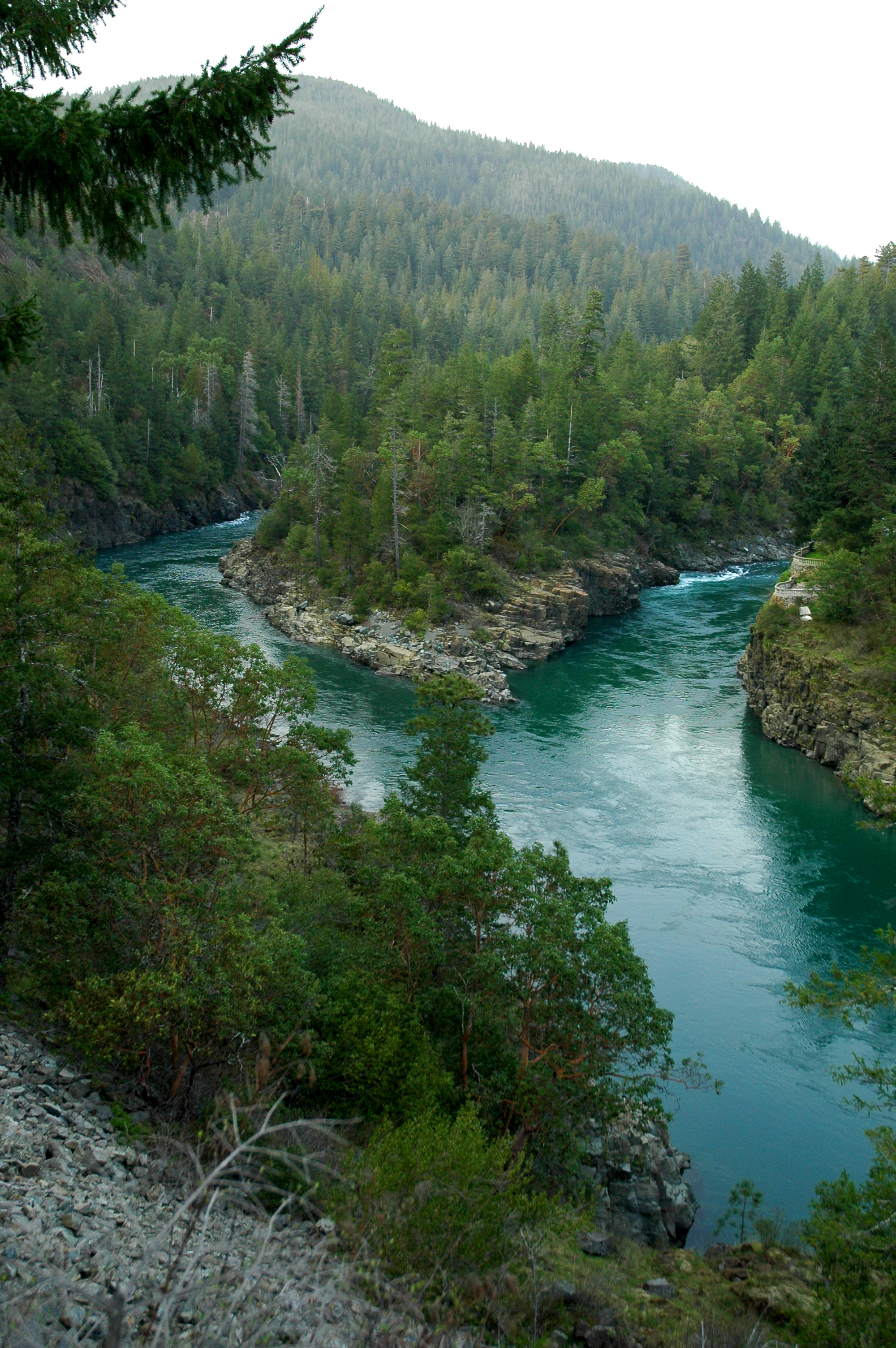
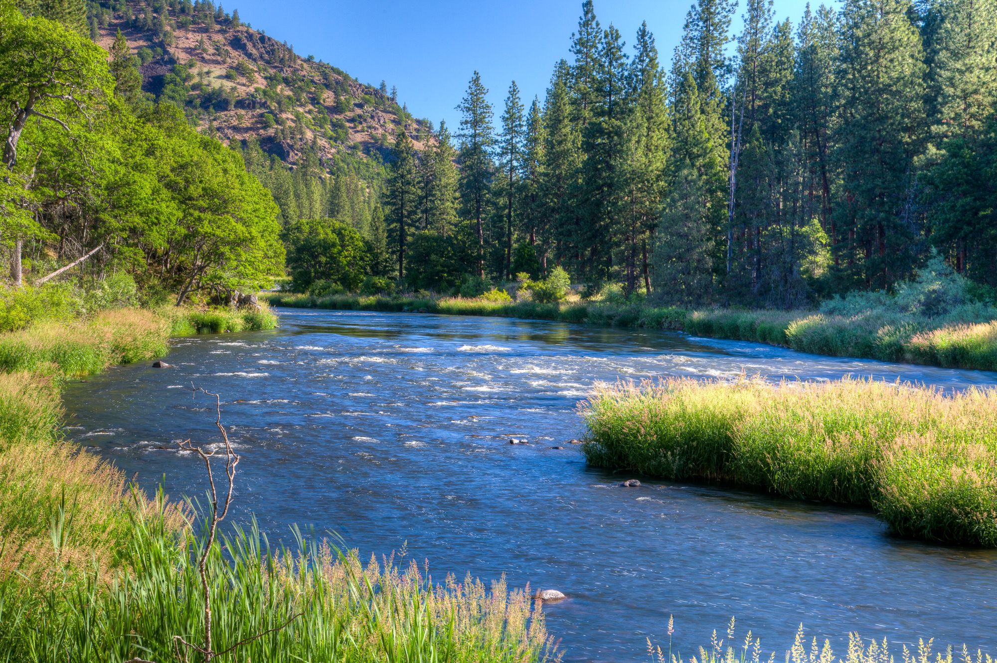
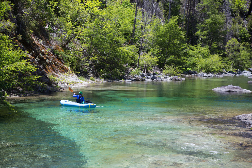
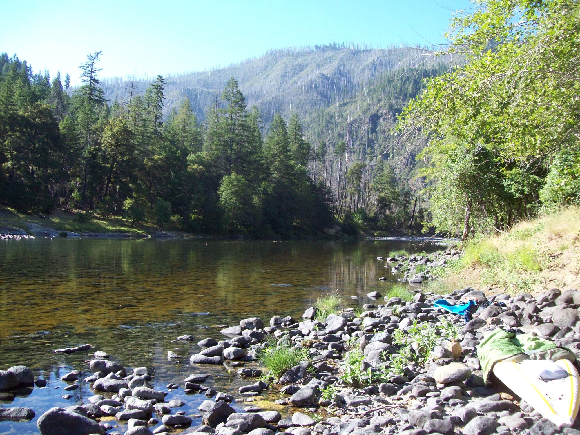
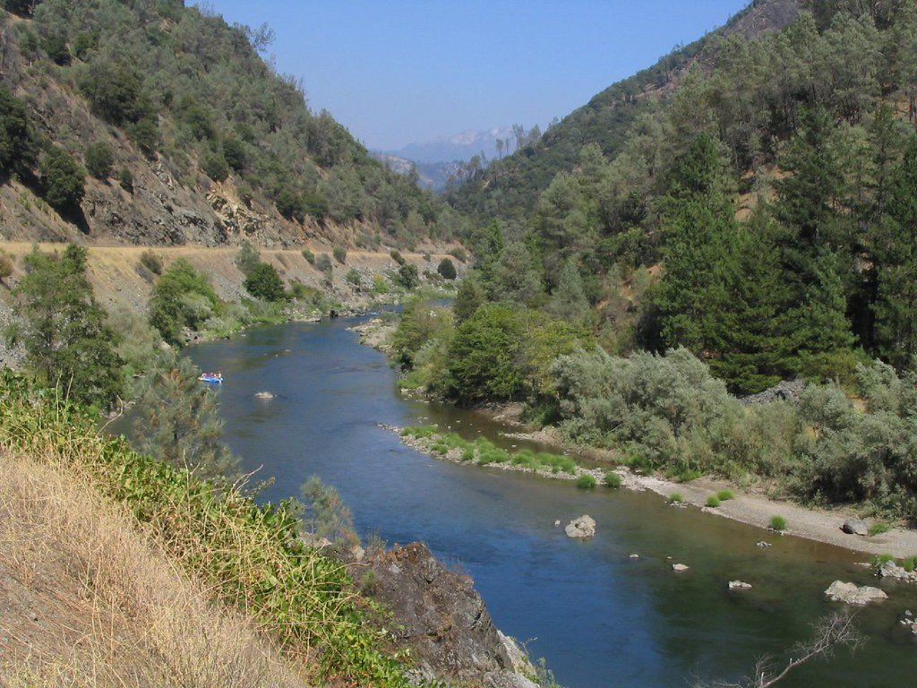
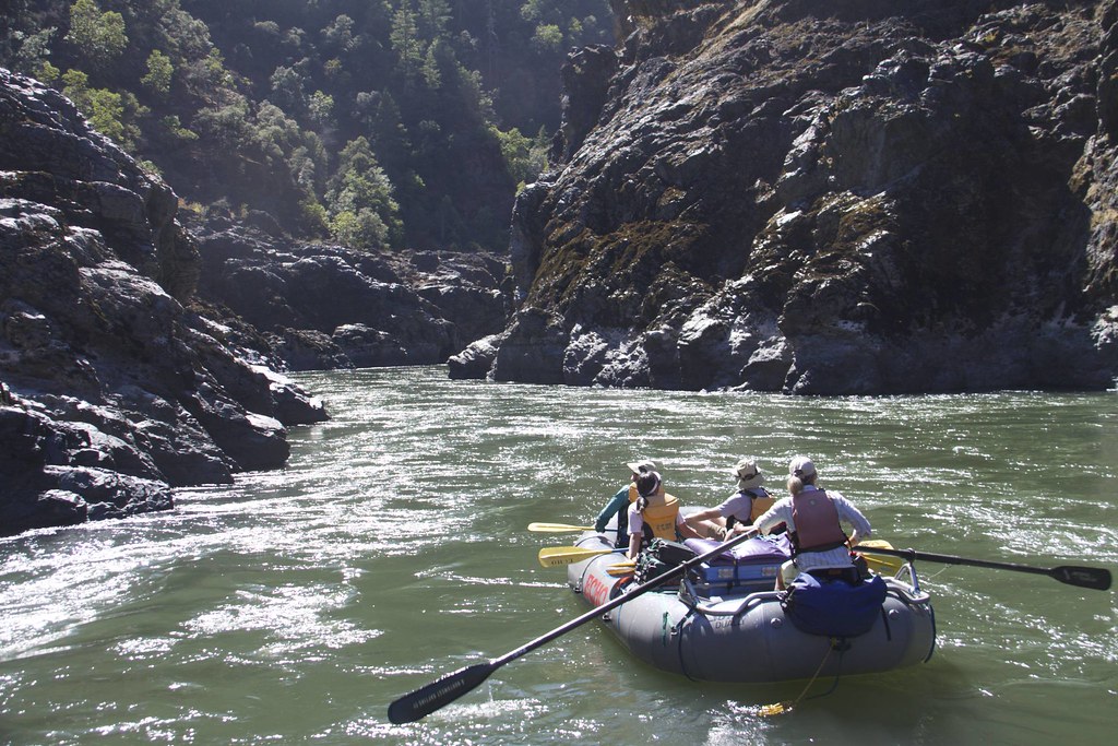
The Middle Fork Smith River is a pristine waterway in northern California, originating in the Siskiyou Mountains and flowing northwest to join the main stem of the Smith River near the town of Gasquet. This crystalline river carves through a rugged landscape of steep canyons and ancient redwood forests, offering paddlers a remarkable wilderness experience.
The Middle Fork features several distinct paddling sections, each with its own character. The upper reaches include the challenging Idlewyld to Patrick Creek run, a 14-mile stretch with Class IV rapids and an optional Class V gorge. Downstream, the Patrick Creek to Gasquet section provides 8.5 miles of continuous Class IV whitewater, highlighted by the formidable Highway Rapid. For intermediate paddlers, the Cooper Canyon run offers exciting Class III-IV rapids amidst stunning scenery. Perhaps the most iconic section is the Oregon Hole Gorge, a short but intense 2.27-mile run featuring the namesake Oregon Hole rapid, which demands careful scouting due to its variable nature at different water levels. This section, while brief, is considered a classic California whitewater experience.
The Middle Fork Smith is primarily a winter and spring run, with optimal flows typically occurring from December through May following rain events. Paddlers should be prepared for technical whitewater, with most sections requiring solid Class IV skills and experience.
The river corridor is home to diverse wildlife, including black bears, river otters, and osprey. The surrounding old-growth forests showcase towering coast redwoods and Douglas firs, creating a primeval atmosphere that enhances the paddling experience.
Access points are relatively well-developed, with put-ins and take-outs often located near Highway 199. The towns of Gasquet and Hiouchi serve as the primary gateways to the river, offering basic services for paddlers.
Safety considerations include cold water temperatures year-round and the potential for rapidly changing conditions during storm events. Paddlers should be self-reliant and prepared for remote wilderness travel.
The Middle Fork Smith River holds significant ecological importance as one of the last major undammed rivers in California. Its pristine waters and surrounding forests provide critical habitat for numerous species, including endangered coho salmon. This ecological value, combined with its outstanding recreational opportunities, makes the Middle Fork Smith a true gem of the California river system.
Curated routes
Hand-picked by the PaddleWays team, with put-ins, take-outs, paddle times and the hazards along the way.
RouteClass IV–V
RouteClass IV
Hazards
No paddler has reported a hazard here yet, so these are the dams, falls and big rapids on our map. Hazards change with flows and storms, so check them before you launch.
From the community
Nobody has shared a trip on Middle Fork Smith River yet. Paddle it, then tell the next paddler how it went.
See exactly where the public can get on and off the river. Launch points and boat ramps are paired with PaddleWays' public land data so you know where you can legally land.
Public shoreline
96%of the river's shoreline is public
Flows, weather and a route-by-route verdict, so you know which stretch of the Middle Fork Smith River is worth paddling today.
No forecast data available.
Live flows, marked hazards and fresh trip reports from paddlers who were just on the water, all in one place.





Every user gets free access to launch points, boat ramps, and public property parcels.
Loading popular cities...
PaddleWays gives you everything you need to plan smarter, paddle better, and own every trip from first launch to takeout.