Pelican Bay
- Saltwater
- Bay
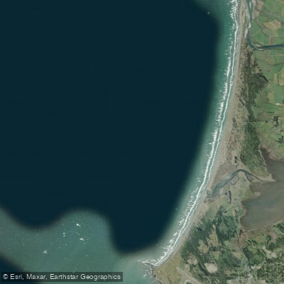
Pelican Bay
- Saltwater
- Bay
- Sq. miles
- 45
- Boat Ramps
- 0
- Access Points
- 1
- Campsites
- 4
Pelican Bay is a coastal bay located in Fort Myers Beach, Florida, situated between San Carlos Bay to the west and Estero Bay to the east. It serves as a central hub for paddlers, offering access to a variety of protected and open-water environments. A primary launch point is the Excursions Marina at Pelican Bay, which features a custom-designed floating dock and kayak launch system for easy entry. Kayak Excursions operates here, providing rentals and tours. Another launch option is Getaway Marina, located at Hurricane Pass, where paddlers can launch their own craft for a fee and receive assistance from marina staff. The Pelican Bay Foundation also provides kayaks for member use at North and South Beaches, which offer access to the Gulf of Mexico and the adjacent Clam Bay estuary.
The paddling experience is defined by shallow, mangrove-lined waters and significant tidal influence. The connected Clam Bay estuary features very shallow waters and sandbars that can make paddling difficult at low tide. Tidal flows can become strong, particularly in narrow creeks and around Clam Pass, the narrow outlet to the Gulf. Paddlers should plan routes with the tide stage in mind, especially when navigating these constricted areas. The broader bay area is generally calm and protected, but wind exposure increases when venturing into the open waters of San Carlos Bay or Estero Bay. The Great Calusa Blueway, a 190-mile marked paddling trail, passes directly through Pelican Bay, offering structured route options.
From Pelican Bay, paddlers can head west into San Carlos Bay toward Sanibel and Pine Island Sound, exploring mangrove-lined canals, creeks, and tunnels along a natural shoreline. Heading east leads under the Hurricane Pass bridge into Hurricane Bay and Hell Peckney Bay at the northern end of the Estero Bay Aquatic Preserve, a maze of mangrove islands. A short paddle south leads to Fort Myers Beach. Hazards include low-hanging mangrove branches, potential wildlife encounters, and the muddy bottom in Clam Bay, which can act like quicksand. The area is known for frequent dolphin and manatee sightings. Water depths in the surrounding bays are mostly less than four feet.
Water access, boat ramps & amenities
Learn how to get on Pelican Bay. Uncover great paddling access points, boat ramps, and all the facilities you need for an unforgettable day on the water. Some locations shown may border or include private property. Always check property boundaries and applicable regulations before visiting. PaddleWays's Public & Private Land layer can help you plan your access with confidence.
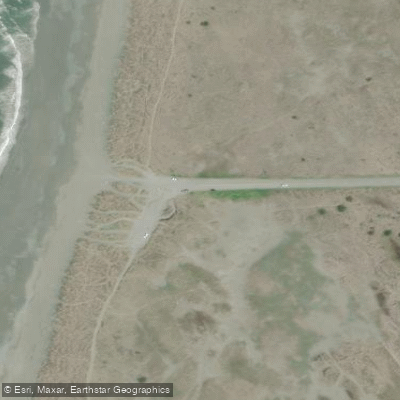
Paddle smarter with real-time insights
Whether you're en route and conditions shift or you're looking for the best spot based on current flows, we enable you to make informed decisions on the fly.








Find Places to Paddle

Over 400,000 Places to Paddle
Every user gets free access to launch points, boat ramps, and public property parcels.


Tides, wind & water conditions (10 day forecast)
On open water, wind and tide matter as much as the weather. See the best times to paddle Pelican Bay and check the marine forecast before you launch.
Loading tide predictions…
Paddling near Pelican Bay
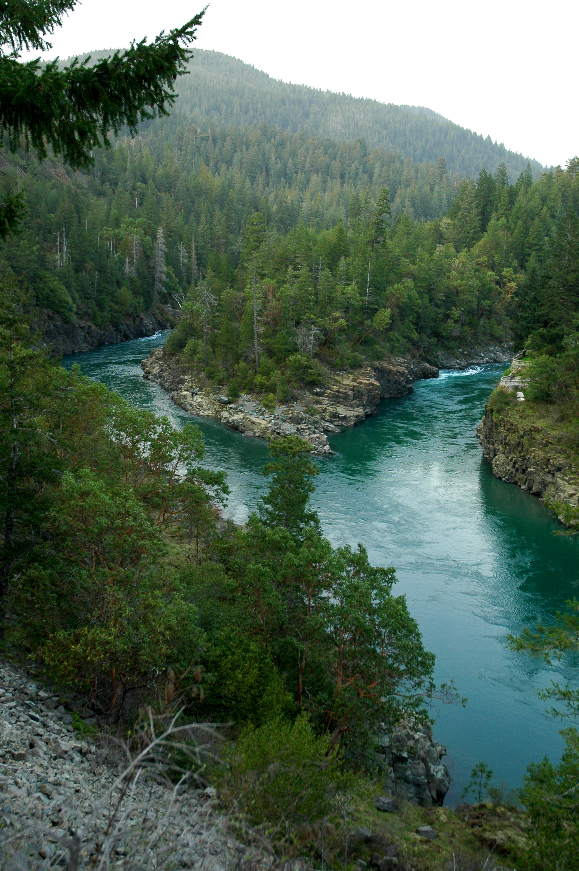
Smith River

Klamath River
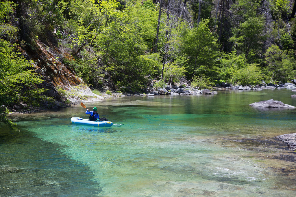
Chetco River
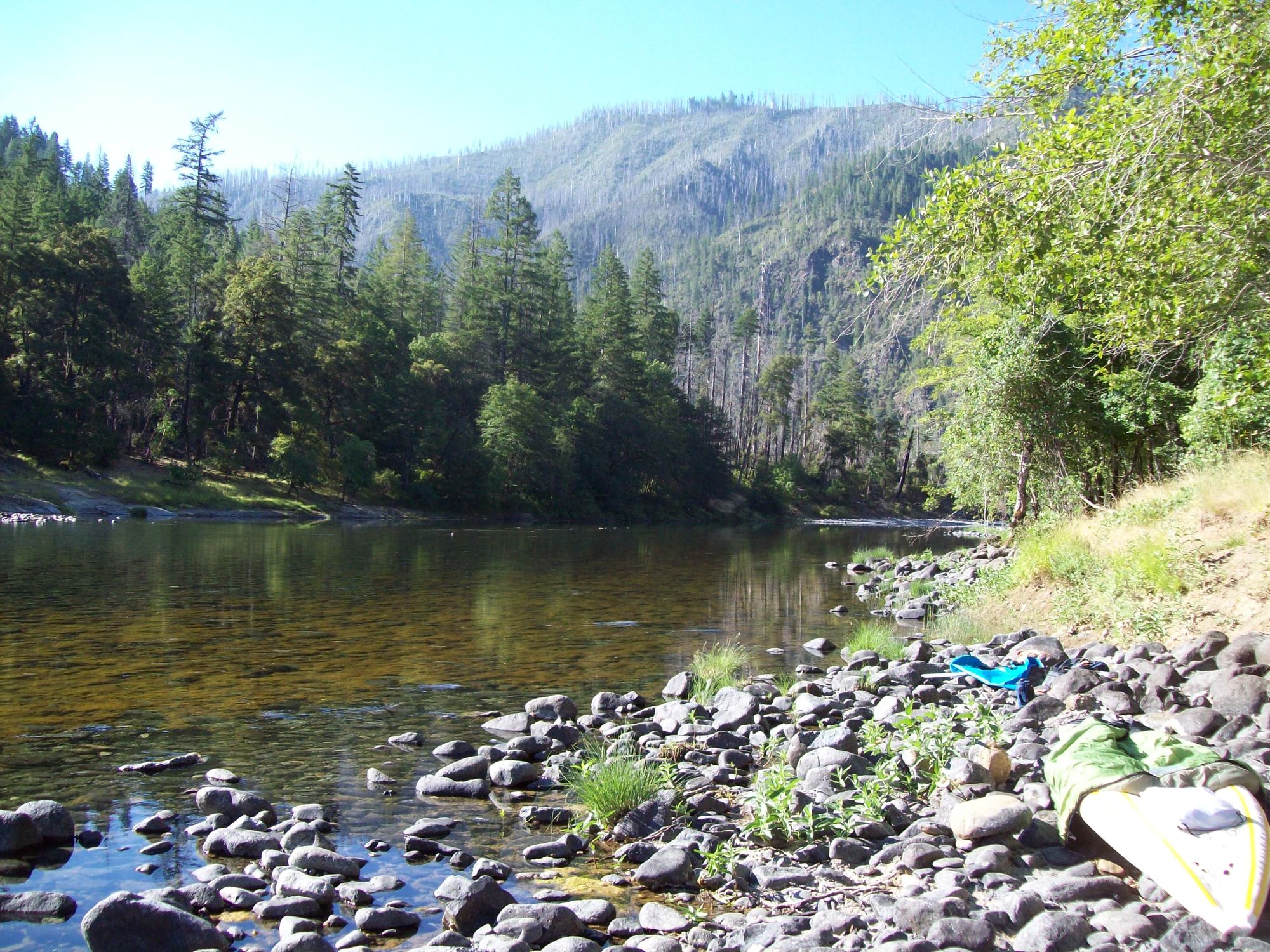
Illinois River
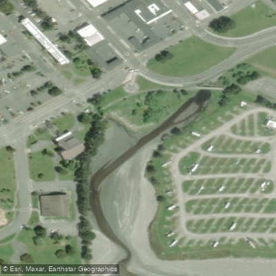
Elk Creek
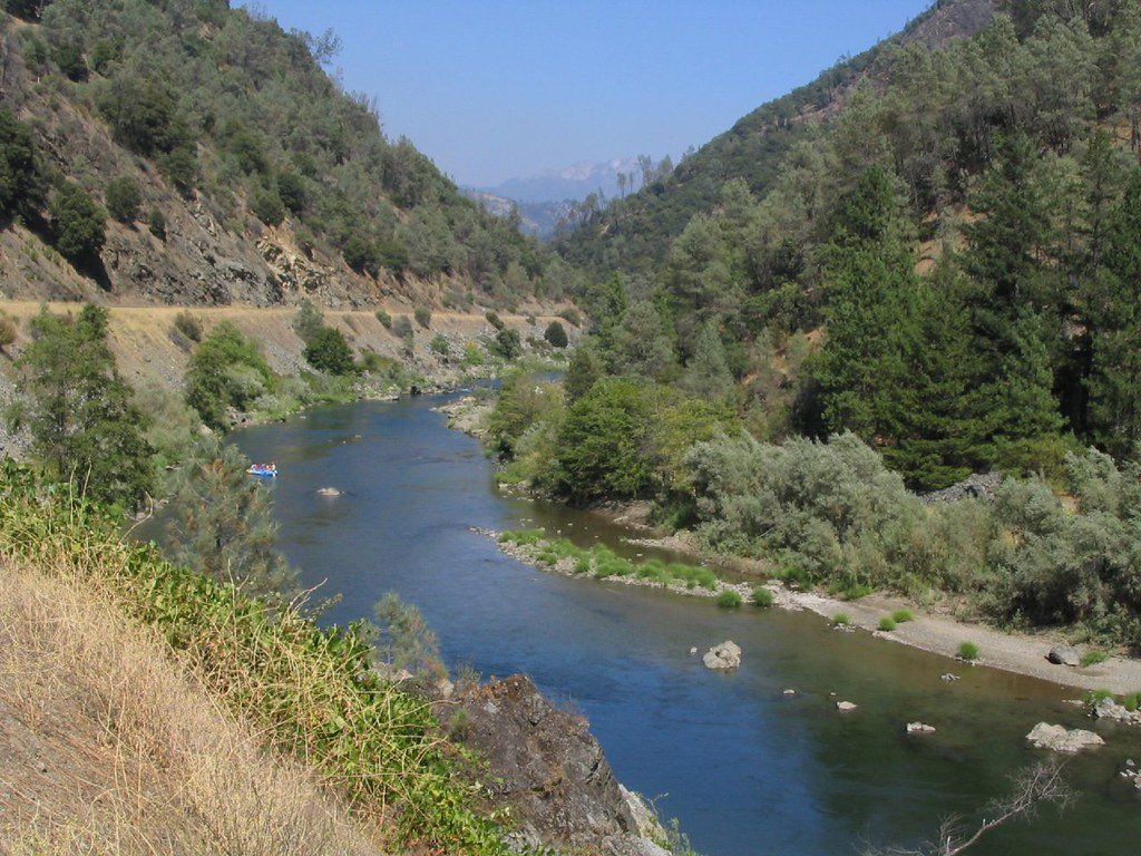
Trinity River
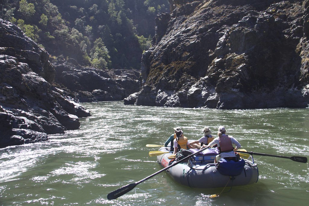
Rogue River
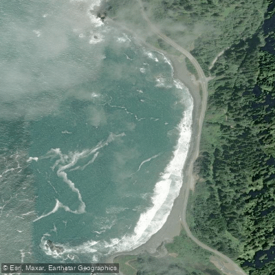
False Klamath Cove
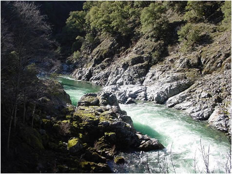
Salmon River
Explore California waters
Top paddling waters
Popular Cities
Loading popular cities...
Explore near Pelican Bay
Access points
- Kellogg Beach Park Access
- Rowdy Creek Bridge
- Dominie Creek Bridge
- Rowdy Creek Bridge
- Highway 101 Bridge
- Gilbert Creek Bridge
- Elk Creek Bridge
- Little Mill Creek Bridge
- Sultan Creek Bridge
- Tolowa Dunes State Park Environmental Campground
- Tolowa Dunes SP Horse Campground
- Salmon Harbor RV Resort Campground
- All 13 spots
Nearby waters
More in California

Smarter Paddling Starts in the App.
Paddleways gives you everything you need to plan smarter, paddle better, and own every trip from first launch to takeout.