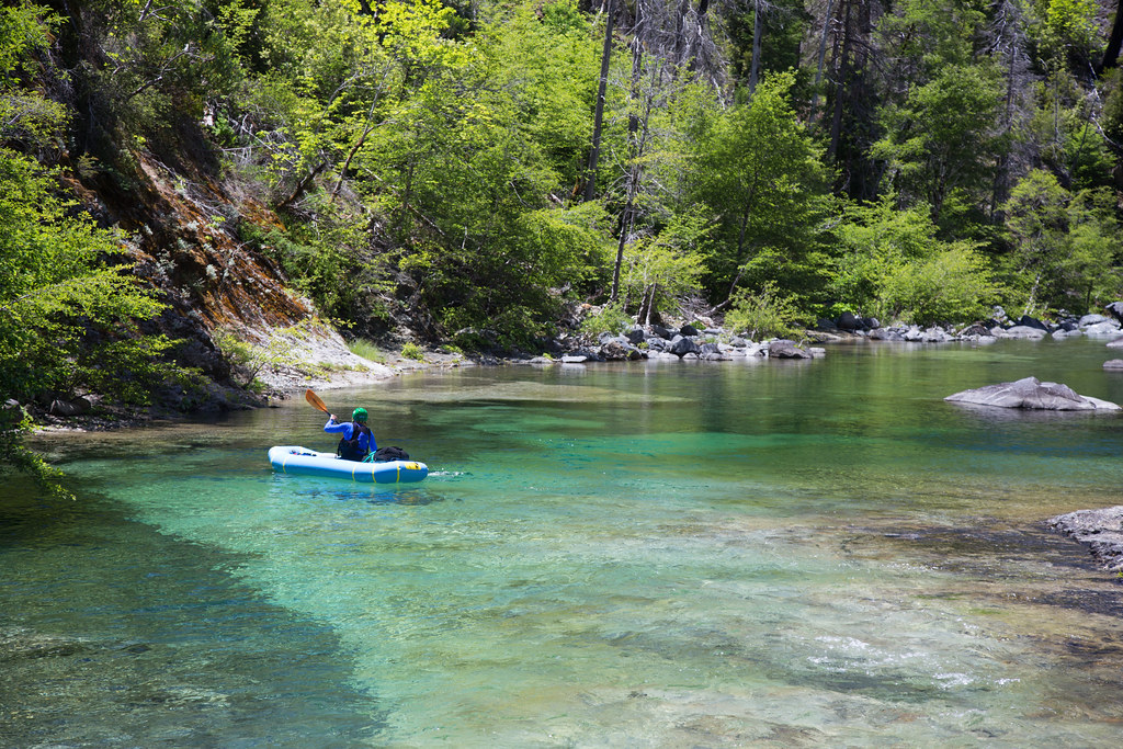
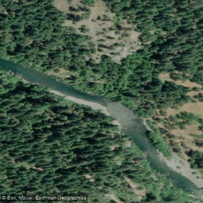
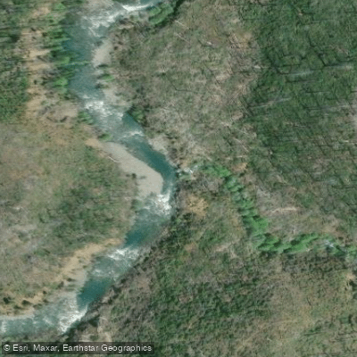
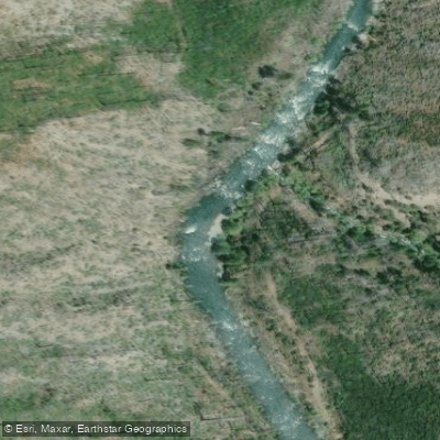
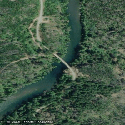
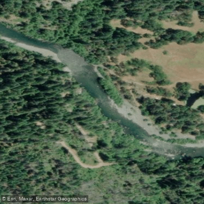
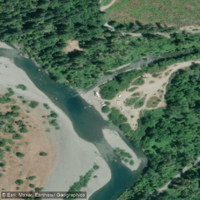
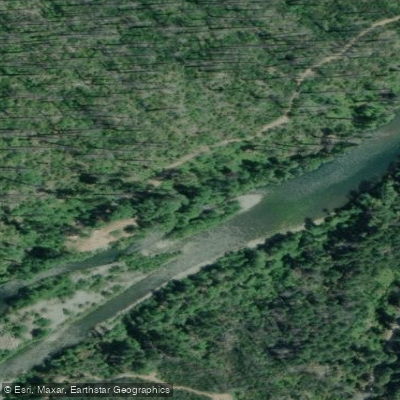
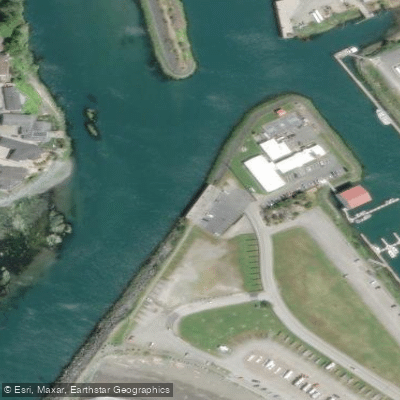
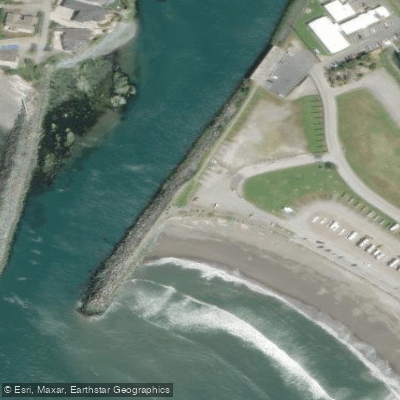
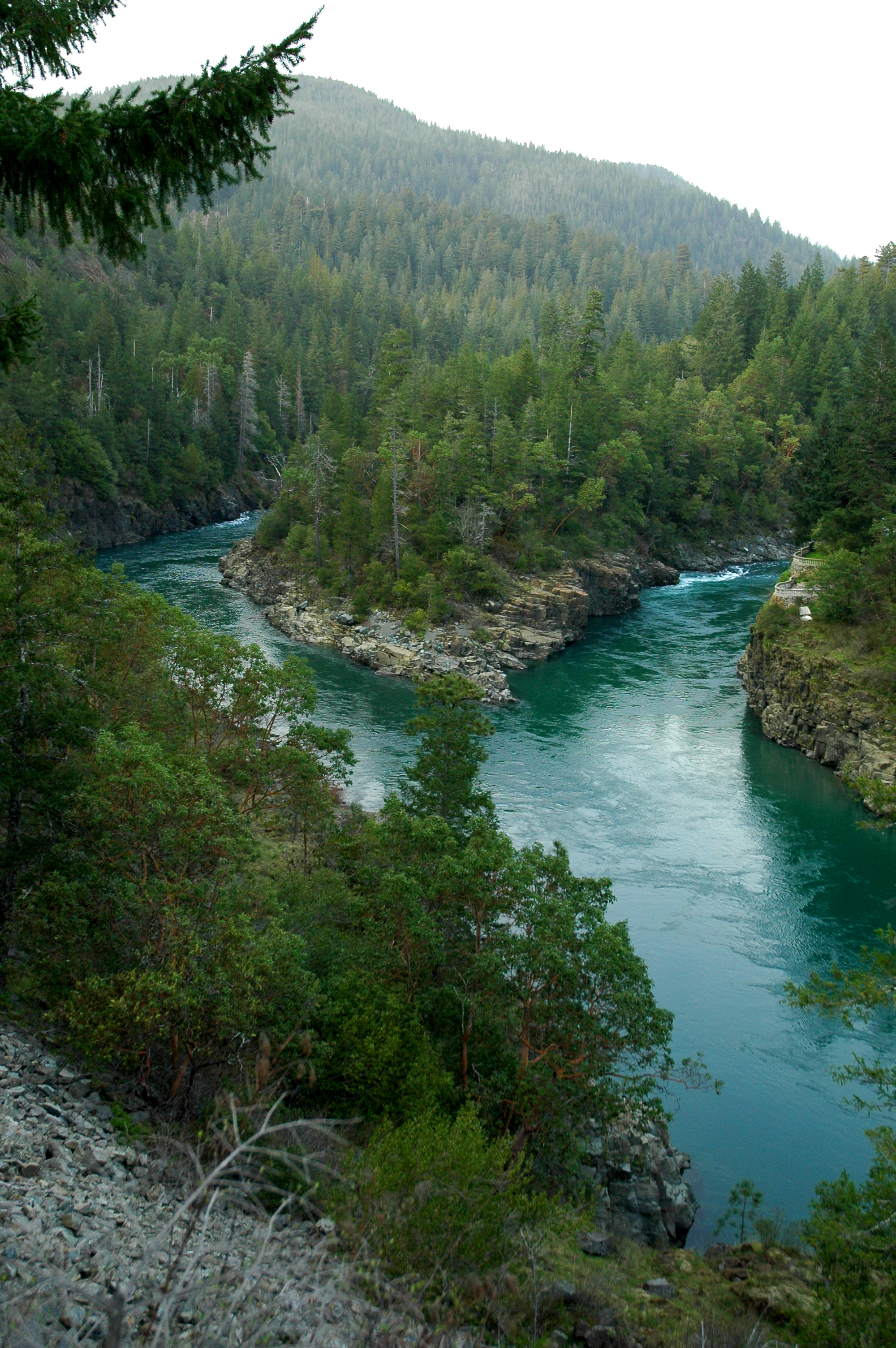
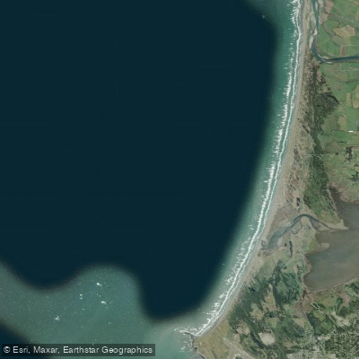
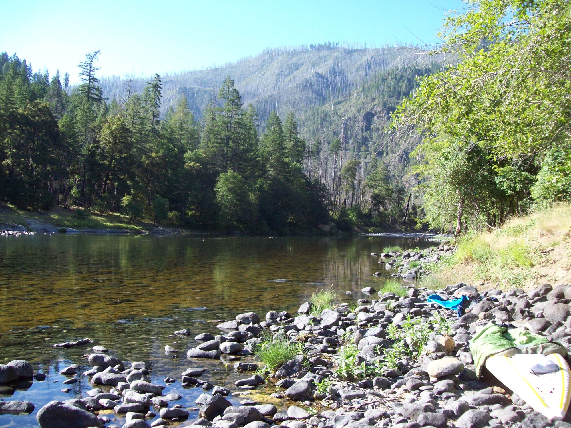
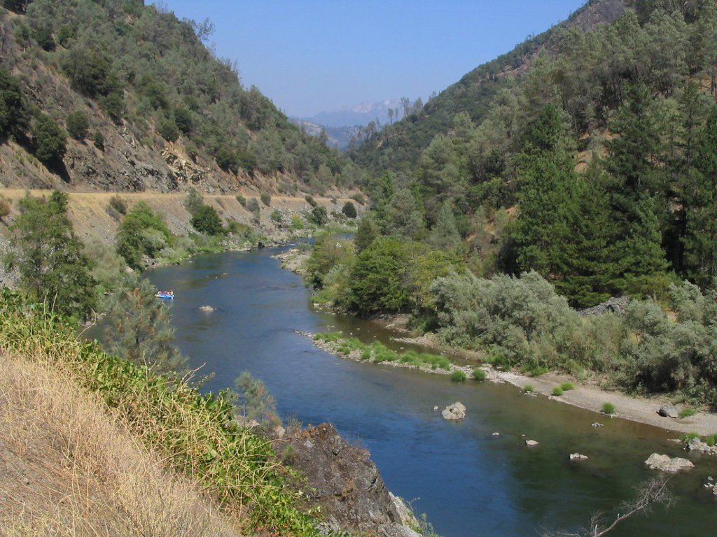
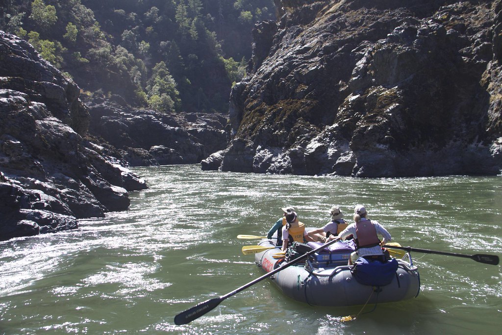
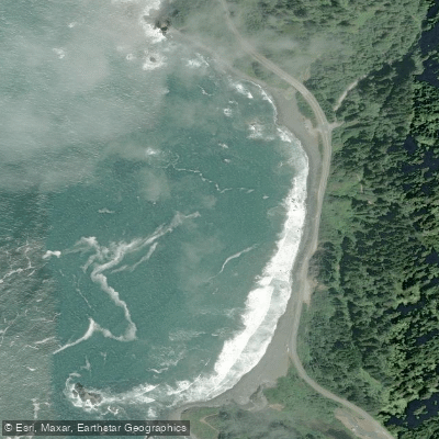
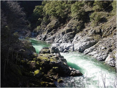
The Chetco River is a stunning wilderness waterway located in southwestern Oregon, flowing for 55 miles from its headwaters in the Kalmiopsis Wilderness to the Pacific Ocean near Brookings. Renowned for its crystal-clear emerald waters, pristine wilderness setting, and challenging whitewater, the Chetco offers paddlers a true backcountry adventure.
The river can be divided into several distinct sections, each offering unique experiences. The Upper Chetco, also known as the Wilderness Section, begins with a strenuous 9-mile hike from the Babyfoot Lake trailhead to reach the put-in at Carter Creek. This remote 25.6-mile stretch features Class IV+ rapids through tight canyons and boulder-strewn passages. The first 3 miles, dubbed "Magic Canyon," offer Class III rapids and deep emerald pools nestled between steep canyon walls.
Downstream, paddlers encounter the Lower Gorges, a 9.9-mile section from Tolman Ranch to the South Fork confluence. This stretch provides exciting Class III-IV whitewater, culminating in the famous Candycane and Conehead rapids. For those seeking the ultimate Chetco experience, the Full Chetco River Run covers approximately 55 miles from Carter Creek to Steel Bridge, offering a multi-day expedition through the heart of the Kalmiopsis Wilderness.
The Chetco's difficulty ranges from Class III to IV+, making it suitable for experienced whitewater kayakers and rafters. Novice paddlers should stick to guided trips or the easier lower sections. The best time to paddle is typically in late spring to early summer when snowmelt provides optimal water levels. However, the river's remote nature and challenging rapids demand careful planning and solid wilderness skills.
The Chetco's watershed is home to diverse flora and fauna, including old-growth forests, rare plants adapted to serpentine soils, and wildlife such as black bears, river otters, and various bird species. The river also supports important runs of salmon and steelhead. Notable landmarks include Bailey Mountain (also known as Torture Mountain), Slide Creek, and Boulder Creek. The town of Brookings serves as the primary access point for the lower river, while the upper sections are accessed via rugged forest roads and trails.
Historically, the Chetco River was home to the Chetco people, and the area has a rich Native American heritage. In 1988, 44.5 miles of the Chetco were designated as Wild and Scenic, recognizing its outstanding natural values.
Safety is paramount on the Chetco. Its remote setting means that rescue and medical assistance can be hours away. Paddlers should be self-sufficient, carry appropriate safety gear, and be prepared for wilderness camping. Permits are required for overnight trips in the Kalmiopsis Wilderness. Popular multi-day trip options include the 5-day Upper Chetco expedition and the 2-3 day Lower Gorges run. These trips offer an immersive wilderness experience, combining challenging whitewater with stunning scenery and pristine campsites along the river's edge.
The Chetco River remains one of Oregon's premier wilderness paddling destinations, offering a rare opportunity to experience untouched nature and world-class whitewater in a truly remote setting.