Curated by PaddleWays
RouteClass IV
- Distance
- 13.2 mi
- Paddle time
- ~3.5 hrs
- Best for
- Experienced paddlers
- Put-in → take-out
- Major Moore's → North Fork Smith Takeout
Fully committed, gorged-in whitewater with no bail-out
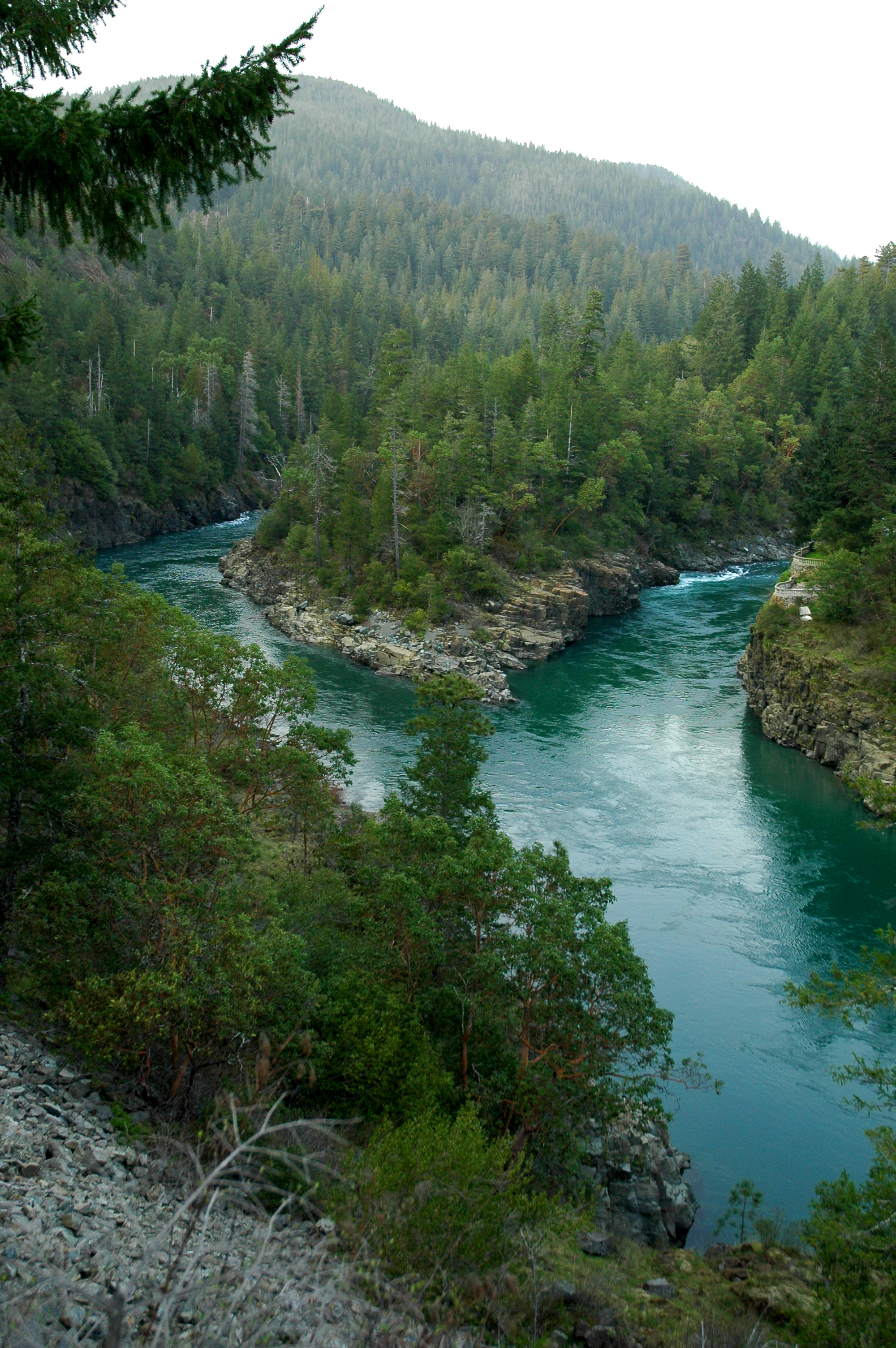
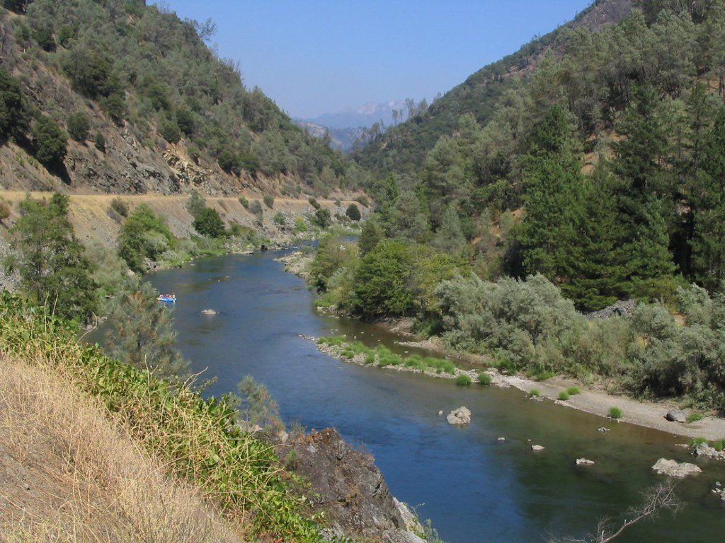
The North Fork Smith River originates near Chetco Peak in Oregon's Kalmiopsis Wilderness at approximately 4,600 feet elevation, flowing southward for 28 miles through the Klamath Mountains before crossing into California and joining the Middle Fork near Gasquet. This tributary comprises roughly half of the entire North Fork Smith watershed, draining 91 square miles of rugged, serpentine-rich terrain characterized by steep canyons, ultramafic soils, and minimal human development.
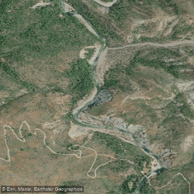
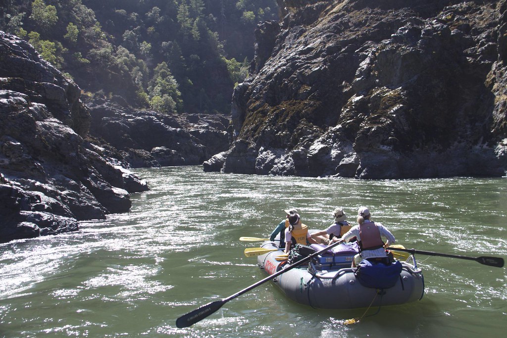
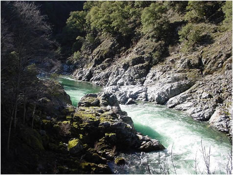
The river offers exceptional whitewater paddling opportunities across two distinct sections. The Oregon Headwaters run from the end of Forest Road 290 to Major Moore's (Browns Flat), presenting advanced Class IV+ whitewater through remote wilderness. The more frequently paddled section extends from Major Moore's to Gasquet, covering approximately 15 miles of continuous Class IV rapids with a notable Class IV+ scout rapid at Mile 3.1. Paddlers can take out at Margie's River Access in Gasquet (Mile 14.8) or at the Middle Fork confluence (Mile 13.2). The gradient averages moderate for mountain streams, yet flashy high flows generate substantial power capable of moving large wood and sediment.
Skill requirements are demanding. The wilderness character, technical rapids, limited road access, and cold water necessitate solid Class IV proficiency, self-rescue capabilities, and wilderness navigation skills. The North Fork attracts experienced kayakers seeking pristine, uncrowded runs through old-growth forest corridors.
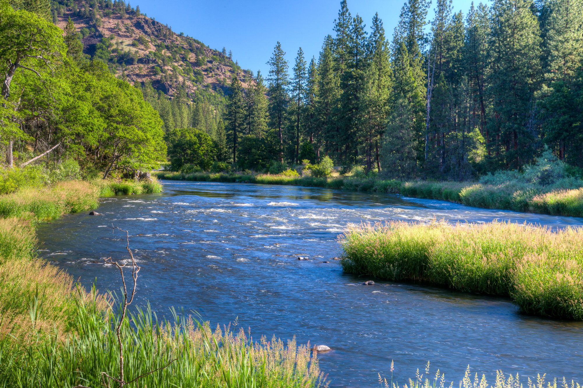
Paddling season typically runs November through May, driven entirely by rainfall since the watershed lies predominantly below the snow zone. The river responds rapidly to precipitation, with flows clearing within days after storms. Winter and spring offer the most reliable flows, though cold water temperatures require appropriate thermal protection.
The watershed supports threatened Southern Oregon/Northern California Coast coho salmon, steelhead, Chinook salmon, coastal cutthroat trout, rainbow trout, and Pacific lamprey. Rare serpentine Darlingtonia wetlands harbor five protected plant species covered by federal conservation agreements. The ultramafic geology creates sparse vegetation in some areas while supporting unique botanical communities adapted to toxic metal-rich soils.
Federal Wild and Scenic River designation (1988) recognizes outstanding water quality, fisheries, and scenic values. The 13-mile Oregon section includes 8.5 miles designated "wild" and 4.5 miles "scenic." Baldface Creek, a major tributary, is eligible for Wild and Scenic designation based on exceptional fisheries and water quality.
Access requires significant commitment. The put-in near Major Moore's sits approximately two hours from Brookings, Oregon, via remote forest roads. Gasquet, California provides the primary take-out and nearest services, though the town remains small. Shuttle service is available locally. The Kalmiopsis Wilderness, Roadless Areas, and Late Successional Reserves surround most of the watershed, with only 555 acres of non-federal land.
Regulations include Oregon's Outstanding Resource Water designation prohibiting activities that degrade water quality. The watershed lies entirely within Rogue River-Siskiyou National Forest, subject to federal land management policies emphasizing preservation. A 20-year mineral withdrawal (2017) protects the area from new mining claims.
Curated routes
Hand-picked by the PaddleWays team, with put-ins, take-outs, paddle times and the hazards along the way.
RouteClass IV
Hazards
No paddler has reported a hazard here yet, so these are the dams, falls and big rapids on our map. Hazards change with flows and storms, so check them before you launch.
Rapid · Class IV
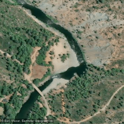
Class IV+ Long gorge rapid ran left or right, but not center.
From the community
Nobody has shared a trip on North Fork Smith River yet. Paddle it, then tell the next paddler how it went.
See exactly where the public can get on and off the river. Launch points and boat ramps are paired with PaddleWays' public land data so you know where you can legally land.
Public shoreline
99%of the river's shoreline is public
Flows, weather and a route-by-route verdict, so you know which stretch of the North Fork Smith River is worth paddling today.
No forecast data available.
Live flows, marked hazards and fresh trip reports from paddlers who were just on the water, all in one place.





Every user gets free access to launch points, boat ramps, and public property parcels.
Loading popular cities...
PaddleWays gives you everything you need to plan smarter, paddle better, and own every trip from first launch to takeout.