Salmon River
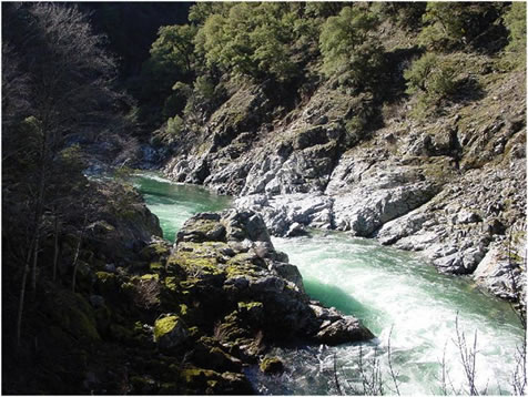
Salmon River
- Boat Ramps
- 3
- Access Points
- 3
- Campsites
- 8
The Salmon River originates in the Marble Mountain and Trinity Alps Wilderness areas of northern California, flowing generally westward through rugged forested canyons before joining the Klamath River near Somes Bar. This 125-mile long river drains a watershed of approximately 750 square miles within Siskiyou County. The Salmon offers exceptional whitewater opportunities ranging from beginner-friendly Class II floats to expert-level Class V rapids.
The river is divided into several distinct sections, each with its own character. The upper reaches near Forks of Salmon provide excellent Class III paddling, while the Nordheimer Run offers a challenging 6-mile stretch of near-continuous Class IV rapids punctuated by three Class V drops. Downstream, the Butler Creek to Brannons Bar section features Class IV whitewater with one mandatory Class IV+ rapid. For advanced paddlers, the South Fork Gorge presents a premier 15-mile Class IV-V run through a remote canyon. Nearby, the North Fork offers scenic Class III-IV paddling from Idlewild to Sawyers Bar. The lower river provides more moderate Class II-III floating as it approaches the Klamath confluence.
Spring snowmelt typically provides the best paddling conditions from April through June, though dam-controlled flows allow for extended seasons on some sections. The river corridor hosts diverse flora and fauna, including old-growth forests, black bears, and spawning salmon runs in the fall.
Key access points include Nordheimer Campground, Butler Creek, Forks of Salmon, and Somes Bar. The small towns of Sawyers Bar, Cecilville, and Somes Bar offer limited services. Multi-day trips are possible on some sections, with ample primitive camping along the banks.
The Salmon River holds deep cultural significance for the Karuk Tribe and played an important role in 19th century gold mining history. Today it remains a cornerstone of the region's recreational economy while also supporting critical habitat for endangered coho salmon.
Paddlers should be aware of remote conditions, limited road access in some areas, and the potential for extreme rapids at high water levels. Permits are not required for most sections, but check current regulations. With its pristine waters and challenging whitewater set amidst stunning wilderness, the Salmon River offers a world-class paddling destination for those seeking adventure in northern California's Klamath Mountains.
Water access, boat ramps & amenities
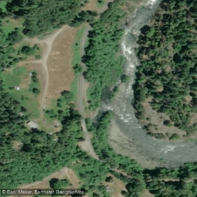
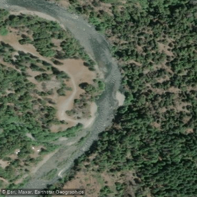
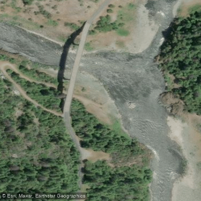
Learn how to get on Salmon River. Uncover great paddling access points, boat ramps, and all the facilities you need for an unforgettable day on the water. Some locations shown may border or include private property. Always check property boundaries and applicable regulations before visiting. PaddleWays's Public & Private Land layer can help you plan your access with confidence.
Paddle smarter with real-time insights
Whether you're en route and conditions shift or you're looking for the best spot based on current flows, we enable you to make informed decisions on the fly.








Find Places to Paddle

Over 400,000 Places to Paddle
Every user gets free access to launch points, boat ramps, and public property parcels.


Water and weather conditions (10 day forecast)
See the best times to paddle Salmon River and check the forecast before you go.
SALMON R A SOMES BAR CA
Paddling near Salmon River

Klamath River
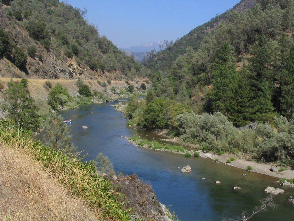
Trinity River
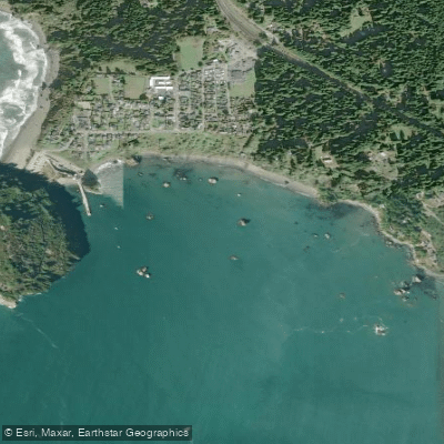
Trinidad Bay
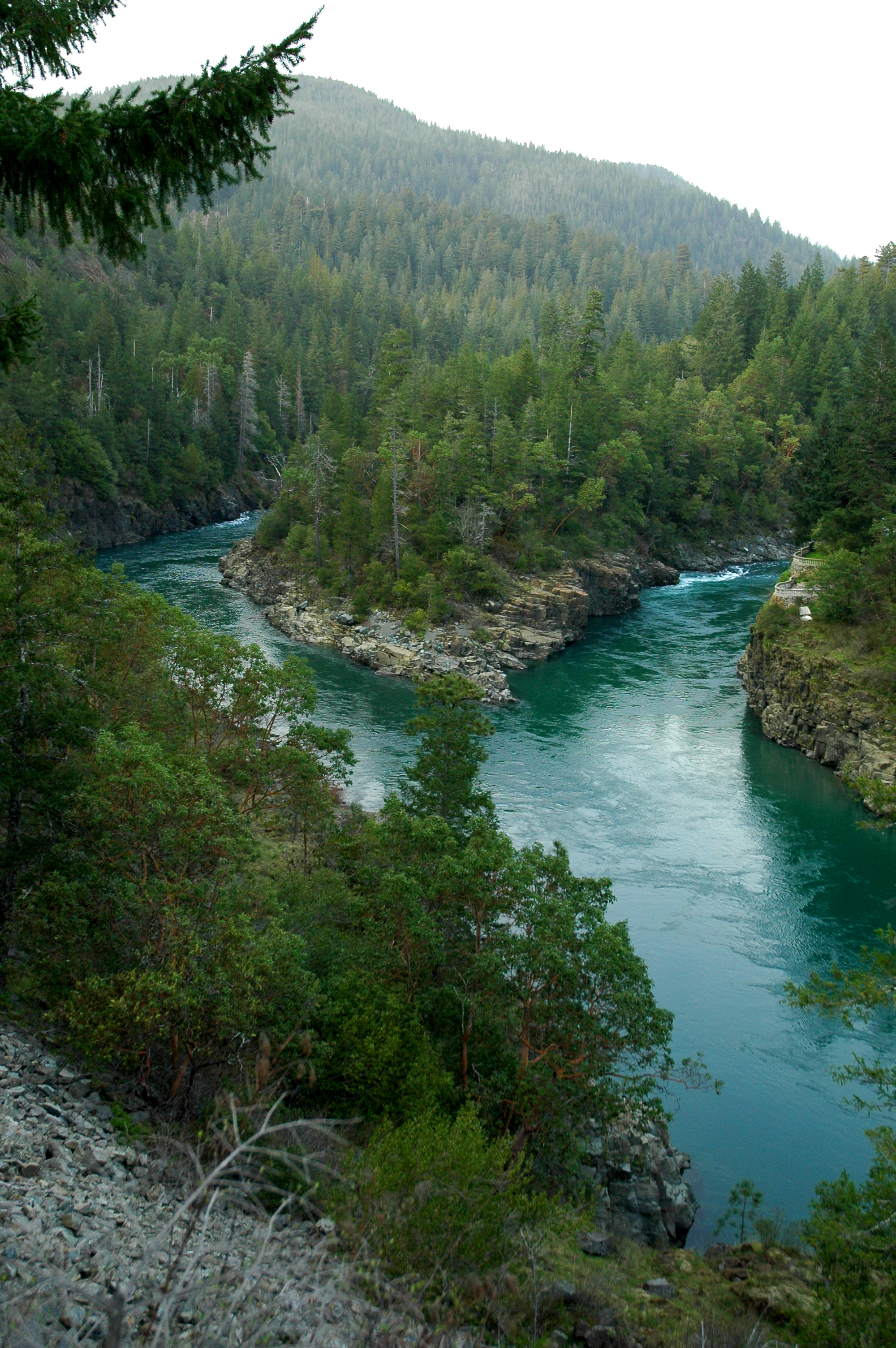
Smith River
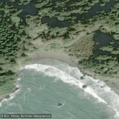
College Cove North
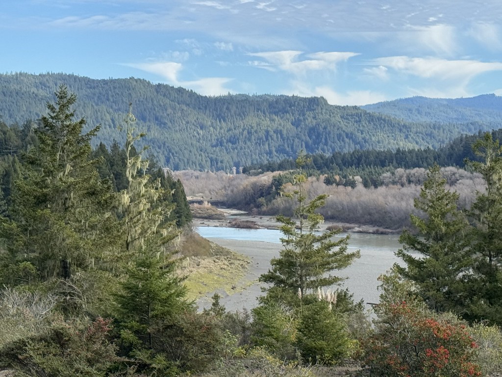
Eel River
Mad River
Arcata Bay
South Fork Smith River
Explore California waters
Top paddling waters
Popular Cities
Loading popular cities...
Explore near Salmon River
Access points
Nearby waters
More in California

Smarter Paddling Starts in the App.
Paddleways gives you everything you need to plan smarter, paddle better, and own every trip from first launch to takeout.