Murray Reservoir
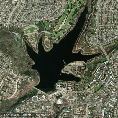
Murray Reservoir
- Boat Ramps
- 1
- Access Points
- 2
- Campsites
- 0
Lake Murray is a 171.1-acre reservoir within Mission Trails Regional Park, featuring 3.2 miles of shoreline and a maximum depth of 95 feet. The lake is open for paddling from sunrise to sunset seven days a week, except for the second Tuesday of each month and major holidays (Thanksgiving, Christmas, and New Year's Day).
Access is via the main entrance at 5540 Kiowa Drive in La Mesa. Kayak rentals are available at the concession stand (both single and double kayaks), with rates starting at $20/hour for singles and $25/hour for doubles. A $6 kayak launch permit (cash only) is required for private boats. The lake offers convenient amenities including restrooms, 64 picnic tables, and 10 barbecue areas.
The reservoir provides a controlled environment for paddling, with no swimming allowed and restrictions on motorized boats. Float tube users must stay within 150 feet of shore and display 144 square inches of international orange above the waterline. All boats must carry Coast Guard-approved personal flotation devices and a sound-producing device.
Wildlife viewing opportunities are exceptional, with at least 149 documented bird species including ducks, geese, and herons. The lake supports populations of Florida-strain largemouth bass, bluegill, channel catfish, black crappie, and seasonally stocked trout (November-May).
An asphalt-paved service road lines approximately two-thirds of the lake's perimeter, offering paddlers scenic views of the surrounding landscape. The lake sits below Cowles Mountain, providing an impressive backdrop for paddling activities. The water serves as an important reporting point for aircraft approaching Montgomery-Gibbs Executive Airport.
The reservoir was originally constructed in 1894 as La Mesa Reservoir and gained its current name in 1920. Today, it operates as part of San Diego's public water system while providing year-round recreational opportunities in an urban setting.
Water access, boat ramps & amenities
Learn how to get on Murray Reservoir. Uncover great paddling access points, boat ramps, and all the facilities you need for an unforgettable day on the water. Some locations shown may border or include private property. Always check property boundaries and applicable regulations before visiting. PaddleWays's Public & Private Land layer can help you plan your access with confidence.
Paddle smarter with real-time insights
Whether you're en route and conditions shift or you're looking for the best spot based on current flows, we enable you to make informed decisions on the fly.








Find Places to Paddle

Over 400,000 Places to Paddle
Every user gets free access to launch points, boat ramps, and public property parcels.


Water and weather conditions (10 day forecast)
See the best times to paddle Murray Reservoir and check the forecast before you go.
No forecast data available.
Paddling near Murray Reservoir
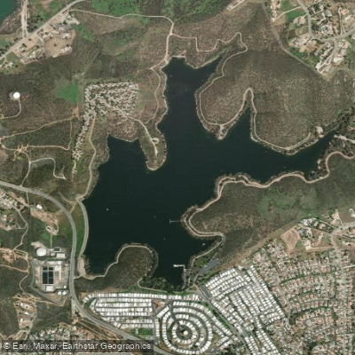
Lake Jennings
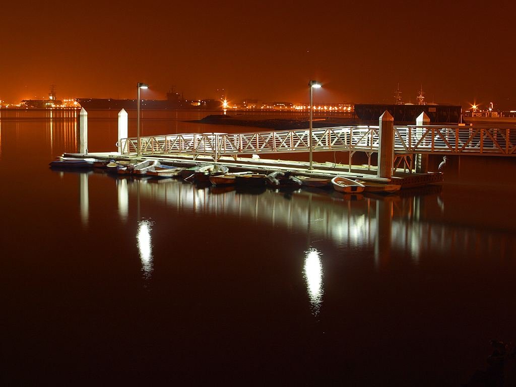
San Diego Bay
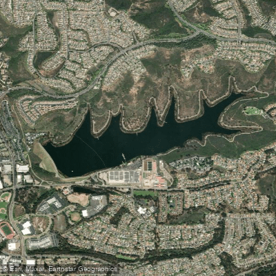
Lake Miramar
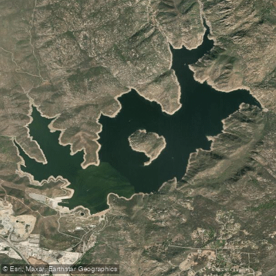
San Vicente Reservoir
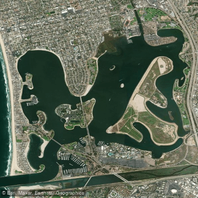
Mission Bay
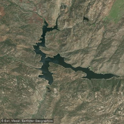
Barrett Lake
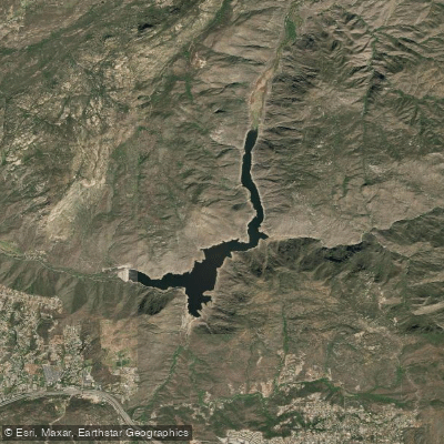
El Capitan Lake
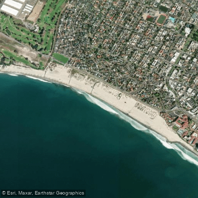
Coronado Beach
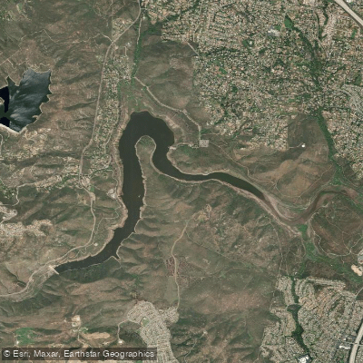
Lake Hodges
Explore California waters
Top paddling waters
Popular Cities
Loading popular cities...
Explore near Murray Reservoir
Access points
Nearby waters
More in California

Smarter Paddling Starts in the App.
Paddleways gives you everything you need to plan smarter, paddle better, and own every trip from first launch to takeout.