San Diego Bay
- Saltwater
- Bay
San Diego Bay
- Saltwater
- Bay
- Sq. miles
- 15
- Boat Ramps
- 7
- Access Points
- 7
- Campsites
- 2
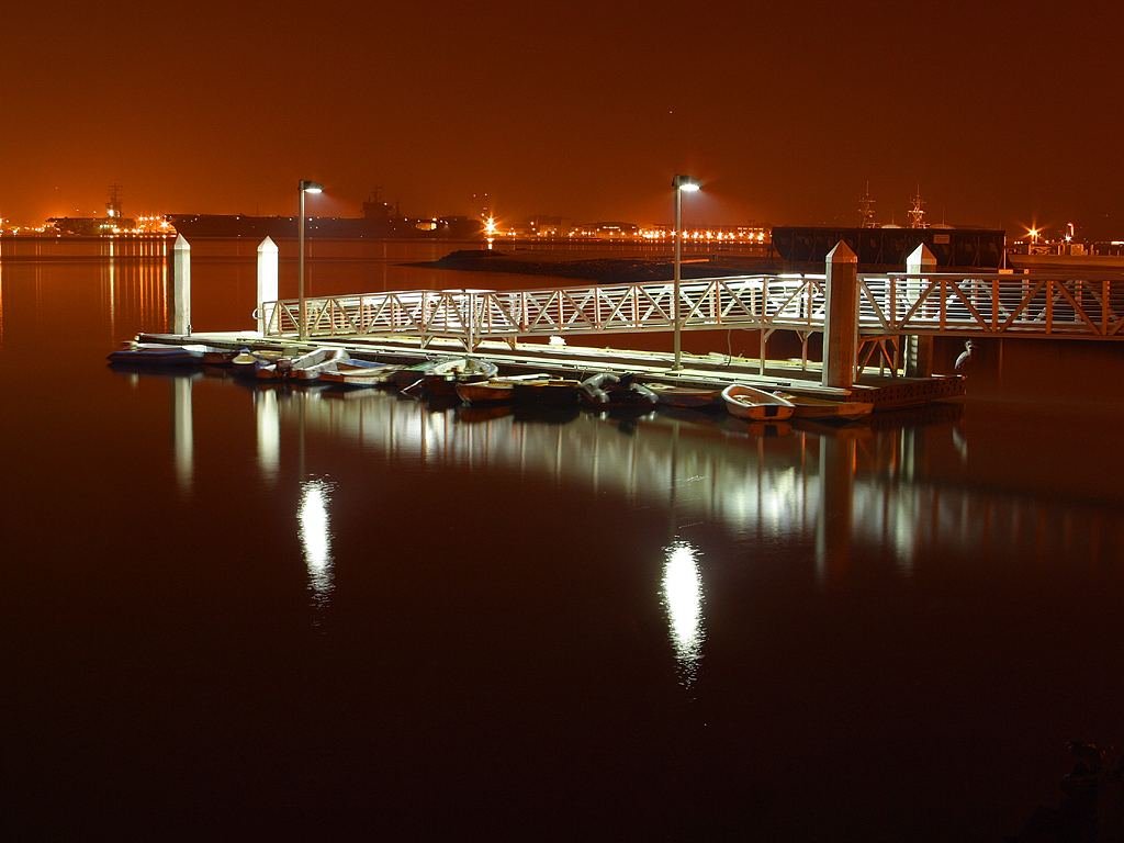
San Diego Bay is a large, sheltered saltwater bay located in Southern California. It offers a varied paddling environment, ranging from calm, protected coves to open bay areas with significant boat traffic and wind exposure. The bay features several official public boat launch ramps operated by the Port of San Diego, all of which are free to use and provide access for kayaks and paddleboards. These include the Shelter Island ramp on the Point Loma side, which is the largest and busiest, the Glorietta Bay ramp in Coronado noted for its calm, protected waters and an ADA-compliant dock for non-motorized craft, the Pepper Park ramp in National City on the Sweetwater Channel, and the Chula Vista ramp at J Street Marina. Additional informal launch points include sandy beaches at Spanish Landing, Harbor Island, and Liberty Station, though the latter involves a concrete boat ramp that can be slippery. A key safety consideration is the presence of dangerous large boat traffic, including shipping lanes, throughout the main bay. Conditions are generally calmer in the launch coves and channels but become rougher and windier upon entering the open bay. The South Bay area near the Chula Vista and National City launches has extremely shallow shoal areas that require careful navigation. The bay is home to myriad wildlife, and paddlers can observe aquatic and aerial species. The overall character is urban, with views of the city's architecture and maritime activity. Early mornings or dusk hours are suggested as less busy times to paddle. For paddlers seeking calm, flat water, Glorietta Bay is specifically recommended for beginners and families due to its protected nature and 5 mph speed limit zone.
Water access, boat ramps & amenities
Learn how to get on San Diego Bay. Uncover great paddling access points, boat ramps, and all the facilities you need for an unforgettable day on the water. Some locations shown may border or include private property. Always check property boundaries and applicable regulations before visiting. PaddleWays's Public & Private Land layer can help you plan your access with confidence.
Kellogg Beach
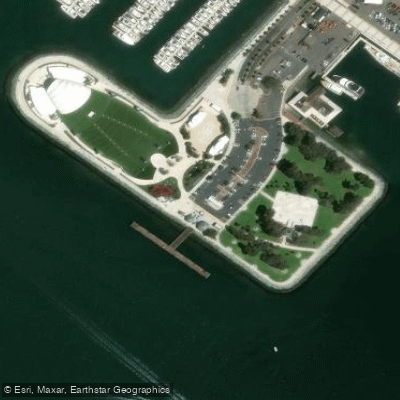
Embarcadero Marina Park Access
Kellogg beach access
Liberty Station
La Playa Anchorage
El Fornio Beach
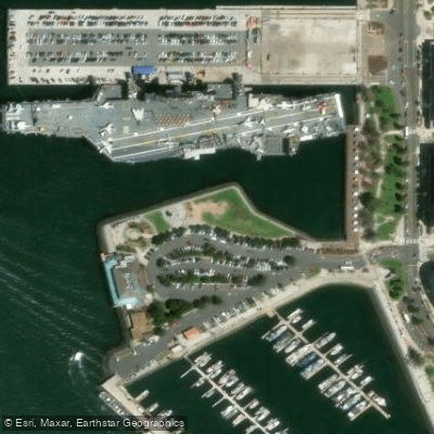
Tuna Harbor Park Access
Paddle smarter with real-time insights
Whether you're en route and conditions shift or you're looking for the best spot based on current flows, we enable you to make informed decisions on the fly.








Find Places to Paddle

Over 400,000 Places to Paddle
Every user gets free access to launch points, boat ramps, and public property parcels.


Tides, wind & water conditions (10 day forecast)
On open water, wind and tide matter as much as the weather. See the best times to paddle San Diego Bay and check the marine forecast before you launch.
Loading tide predictions…
Paddling near San Diego Bay
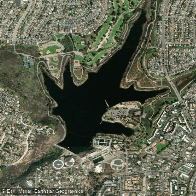
Murray Reservoir
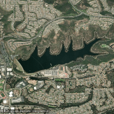
Lake Miramar
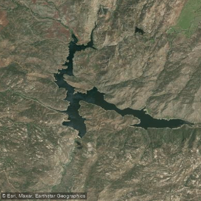
Barrett Lake
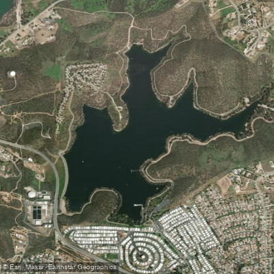
Lake Jennings
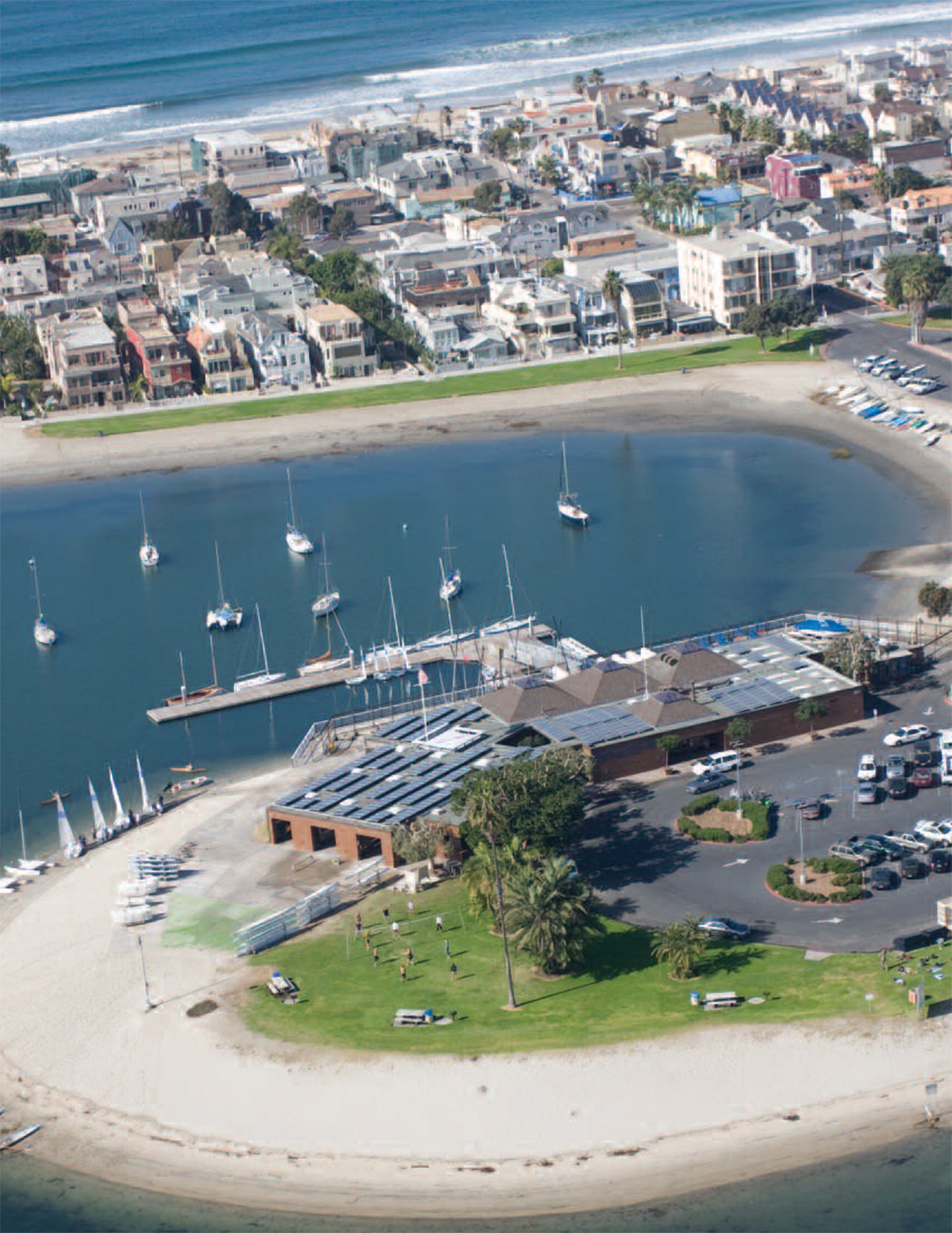
Mission Bay
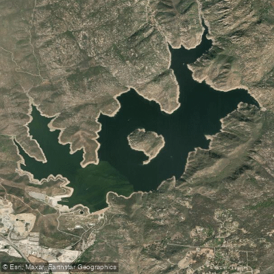
San Vicente Reservoir
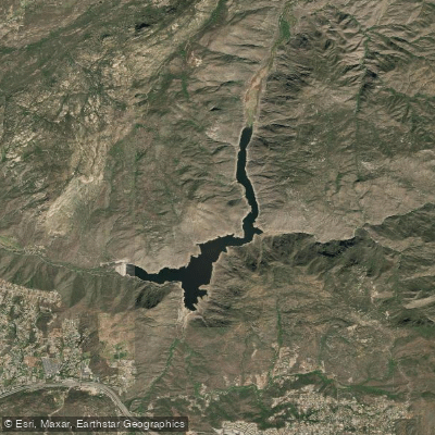
El Capitan Lake
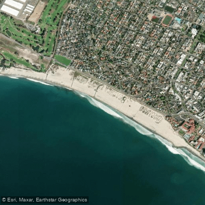
Coronado Beach
Explore California waters
Top paddling waters
Popular Cities
Loading popular cities...
Explore near San Diego Bay
Access points
- Shelter Island Boat Ramp
- North Shore Beach and Yacht Club Boat Ramp
- Shelter Island Shoreline Park Boat Ramp
- Harbor Island Boat Ramp
- Shelter Island Yacht Basin Boat Ramp
- Glorietta Bay Boat Ramp
- Embarcadero Marina Park Access
- Tuna Harbor Park Access
- Chollas Creek Bridge
- Paleta Creek Bridge
- La Paleta Creek Bridge
- Chollas Creek Bridge
- All 39 spots
Nearby waters
More in California

Smarter Paddling Starts in the App.
Paddleways gives you everything you need to plan smarter, paddle better, and own every trip from first launch to takeout.