San Luis Rey River
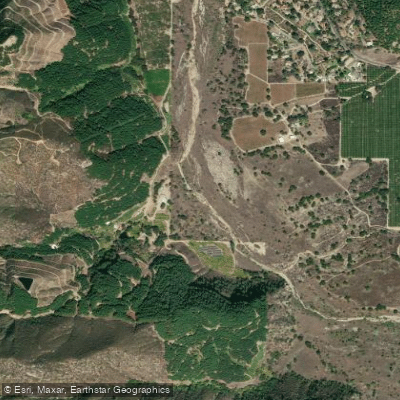
San Luis Rey River
- Boat Ramps
- 0
- Access Points
- 0
- Campsites
- 38
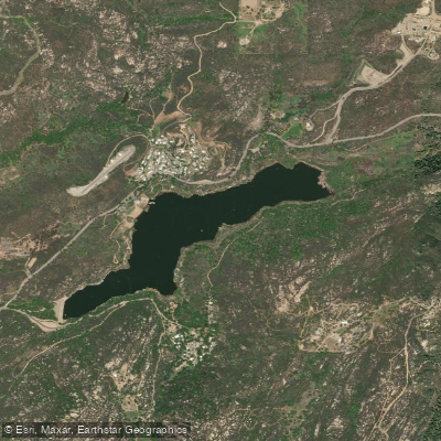
The San Luis Rey River is a significant waterway in southern California, originating in the Palomar Mountain Range and Cleveland National Forest. It flows westward for approximately 55 miles before emptying into the Pacific Ocean at Oceanside. The river's watershed covers about 560 square miles, primarily in northern San Diego County.
Paddling opportunities on the San Luis Rey River are limited, as much of the river is intermittent or has low flow outside of the rainy season. However, the lower reaches near Oceanside can offer calm flatwater paddling when water levels permit. The San Luis Rey River Trail, while not a paddling route itself, provides access points to the river for potential put-ins and take-outs. The difficulty for paddling is generally easy to moderate, suitable for beginners to intermediate paddlers. However, water levels can fluctuate significantly, and paddlers should always check current conditions before embarking.
The best time for paddling is typically during the winter and spring months (December through April) when rainfall is highest. Summer and fall often see very low water levels, making paddling impractical in many sections.
The riparian ecosystem along the San Luis Rey River supports a diverse array of flora and fauna. Willows, cottonwoods, and sycamores line the banks, providing habitat for birds like least Bell's vireos and southwestern willow flycatchers. The river also supports several species of fish, including steelhead trout in its lower reaches.
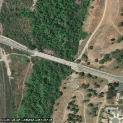
Key landmarks include the Old Bonsall Bridge, Mance Buchanon Park, and the river's estuary near Oceanside. The San Luis Rey Mission, founded in 1798, is a significant historical site located near the river in Oceanside.
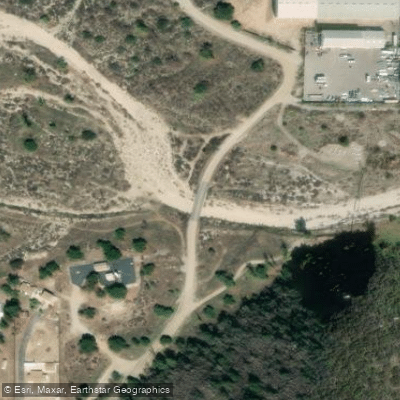
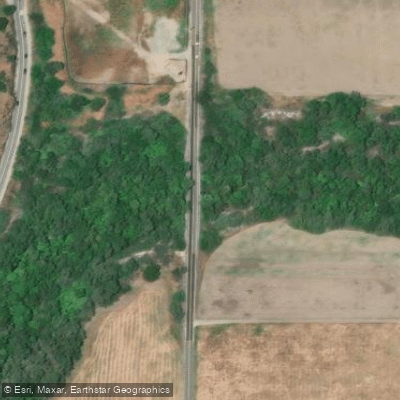
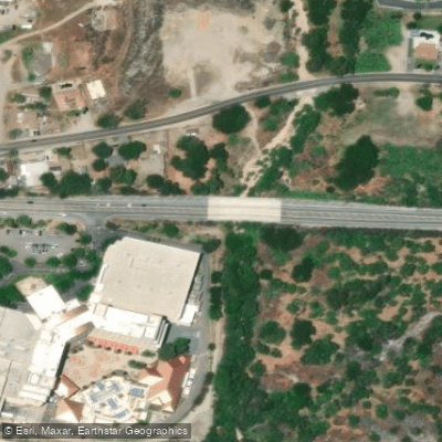
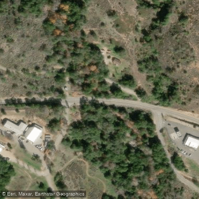
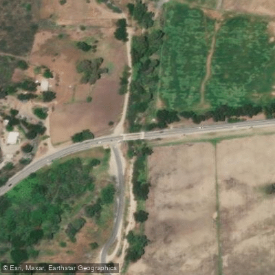
Primary access points for the river include several locations along the San Luis Rey River Trail in Oceanside. The trail runs parallel to the river for about 7.2 miles from Neptune Way near the coast to College Boulevard inland.
Historically, the San Luis Rey River was vital to the Luise������o people and later played a crucial role in the development of agriculture in the region. Today, it remains an important water source and ecological corridor.
Safety considerations include checking water levels and flow rates before paddling, as flash floods can occur during rainy periods. Paddlers should also be aware of potential obstacles such as low-hanging branches and submerged debris.
While multi-day paddling trips are not common on the San Luis Rey River due to its intermittent nature, the surrounding area offers opportunities for extended exploration, including the developing San Luis Rey River Park, which will cover a 9-mile stretch of the river between Interstate 15 and the Old Bonsall Bridge.
Water access, boat ramps & amenities
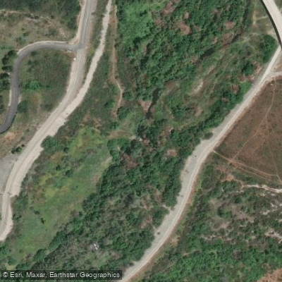
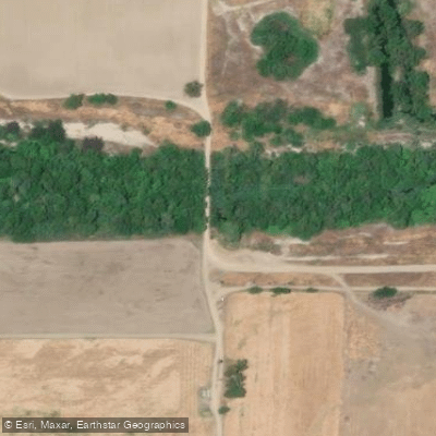
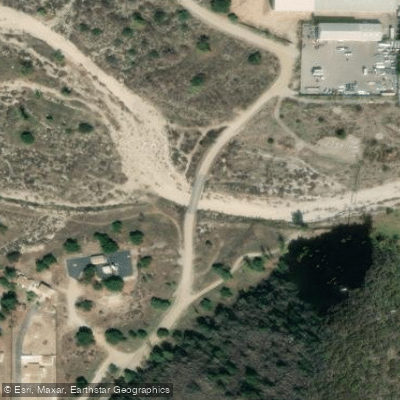
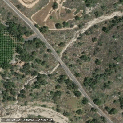
Learn how to get on San Luis Rey River. Uncover great paddling access points, boat ramps, and all the facilities you need for an unforgettable day on the water. Some locations shown may border or include private property. Always check property boundaries and applicable regulations before visiting. PaddleWays's Public & Private Land layer can help you plan your access with confidence.
Paddle smarter with real-time insights
Whether you're en route and conditions shift or you're looking for the best spot based on current flows, we enable you to make informed decisions on the fly.








Find Places to Paddle

Over 400,000 Places to Paddle
Every user gets free access to launch points, boat ramps, and public property parcels.


Water and weather conditions (10 day forecast)
See the best times to paddle San Luis Rey River and check the forecast before you go.
SAN LUIS REY R A OCEANSIDE CA
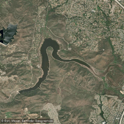
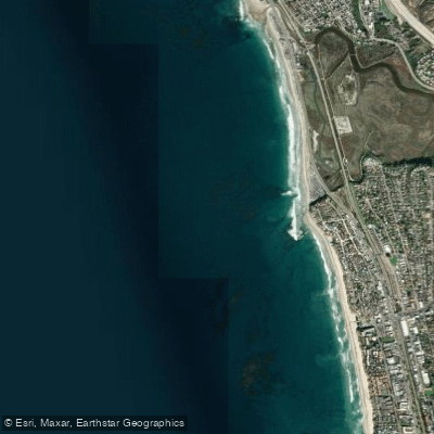
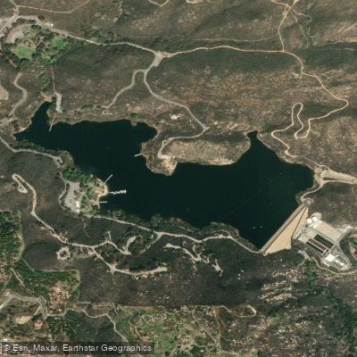
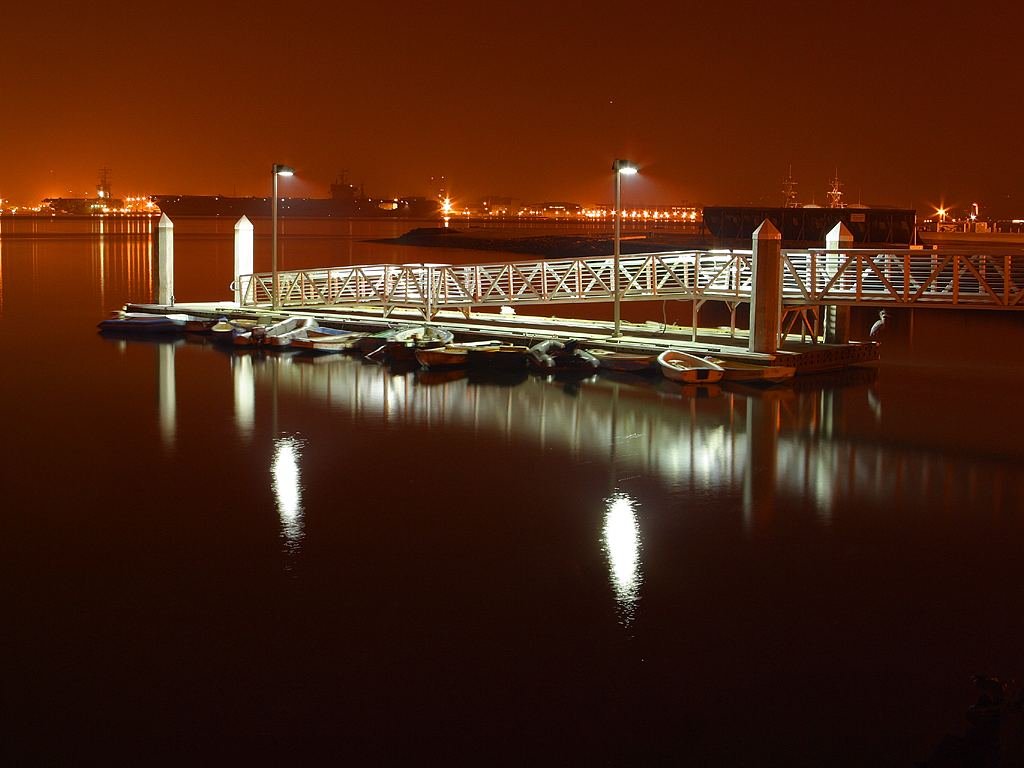
Explore California waters
Top paddling waters
Popular Cities
Loading popular cities...
Explore near San Luis Rey River
Access points
Nearby waters
More in California

Smarter Paddling Starts in the App.
Paddleways gives you everything you need to plan smarter, paddle better, and own every trip from first launch to takeout.