Costilla Creek
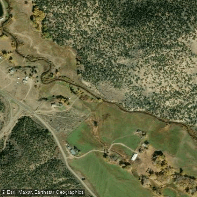
Costilla Creek
- Boat Ramps
- 0
- Access Points
- 11
- Campsites
- 2
Costilla Creek is a picturesque mountain stream that originates in the Sangre de Cristo Mountains of southern Colorado and flows south into northern New Mexico. This tributary of the Rio Grande winds through high alpine meadows and forested canyons for approximately 50 miles before joining the Rio Grande near Costilla, New Mexico. The creek's upper reaches in Colorado offer limited paddling opportunities due to its small size, but the lower sections in New Mexico provide scenic flatwater paddling for canoes and kayaks.
The most popular paddling stretch is the 9-mile Valle Vidal section below Costilla Reservoir, which flows through a wide valley in the Carson National Forest. This section is suitable for beginner to intermediate paddlers, with mostly Class I-II rapids interspersed with calm pools. Costilla Creek's flow is heavily dependent on snowmelt, with the best paddling typically from late May through July. By late summer, water levels often become too low for enjoyable paddling.
The creek is renowned for its excellent trout fishing, particularly for Rio Grande cutthroat trout, rainbow trout, and brown trout. Notable landmarks along Costilla Creek include Costilla Reservoir, the scenic Valle Vidal unit of Carson National Forest, and Comanche Point at the confluence of Comanche Creek. Wildlife such as elk, mule deer, and black bears can often be spotted along the creek's banks.
Primary access points are located at Costilla Reservoir, the Valle Vidal entrance, and Rio Costilla Park. The nearest towns are Costilla and Amalia, New Mexico. Taos, about 45 miles to the south, is the closest major city.
Historically, the Costilla Creek watershed has been important to local Hispanic and Native American communities for centuries. Today, much of the land is managed cooperatively between the U.S. Forest Service and local ranching associations. Paddlers should be aware of fishing regulations, as certain sections are catch-and-release only. Additionally, the Valle Vidal unit is closed to public entry from January through June to protect wildlife.
Multi-day trips are possible by combining paddling with camping at designated sites in Rio Costilla Park or the Valle Vidal, offering a true wilderness experience in this pristine corner of northern New Mexico.
Water access, boat ramps & amenities
Learn how to get on Costilla Creek. Uncover great paddling access points, boat ramps, and all the facilities you need for an unforgettable day on the water. Some locations shown may border or include private property. Always check property boundaries and applicable regulations before visiting. PaddleWays's Public & Private Land layer can help you plan your access with confidence.
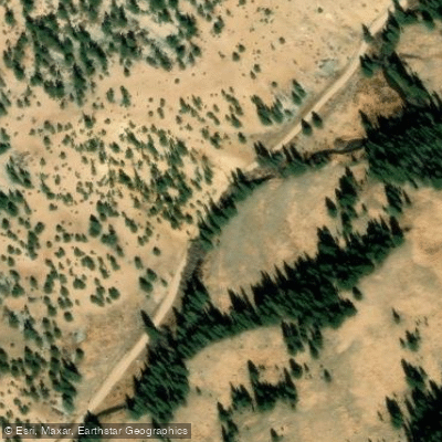
Costilla River
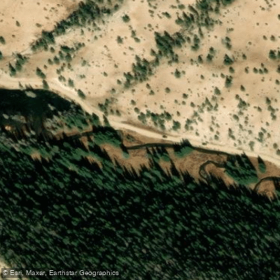
FR 1950 Access
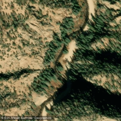
Costilla Canyon Road Access
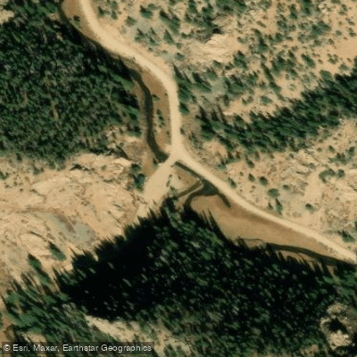
Costilla Canyon Road Access
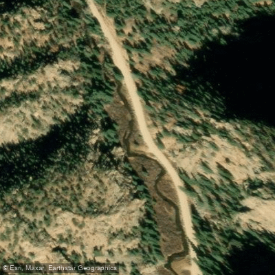
Costilla Canyon Road Access
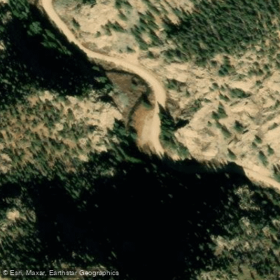
Costilla Canyon Road Access
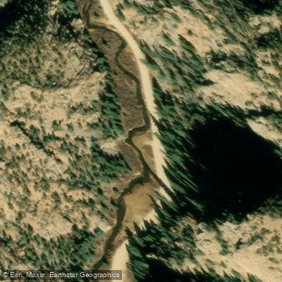
Costilla Canyon Road Access
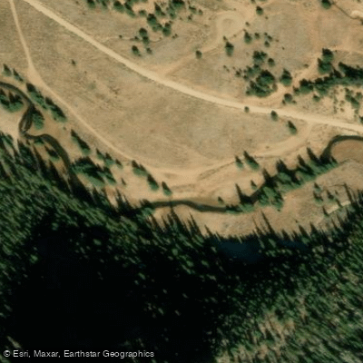
FR 1950 Access
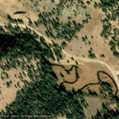
FR 1950 Access
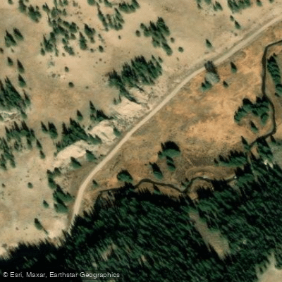
Costilla Dam Road Access
Paddle smarter with real-time insights
Whether you're en route and conditions shift or you're looking for the best spot based on current flows, we enable you to make informed decisions on the fly.








Find Places to Paddle

Over 400,000 Places to Paddle
Every user gets free access to launch points, boat ramps, and public property parcels.


Water and weather conditions (10 day forecast)
See the best times to paddle Costilla Creek and check the forecast before you go.
COSTILLA CREEK ABOVE COSTILLA DAM, NM
All Flow Stations
Paddling near Costilla Creek

Rio Grande
Conejos River
Canadian River
Purgatoire River
La Jara Creek
Cucharas River
Grape Creek
Rio San Antonio
Smith Reservoir
Explore Colorado waters
Top paddling waters
Popular Cities
Loading popular cities...
Explore near Costilla Creek
Access points
Nearby waters
More in Colorado

Smarter Paddling Starts in the App.
Paddleways gives you everything you need to plan smarter, paddle better, and own every trip from first launch to takeout.