Smith Reservoir
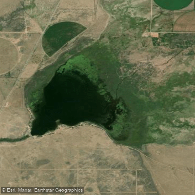
Smith Reservoir
- Boat Ramps
- 2
- Access Points
- 3
- Campsites
- 1
Smith Reservoir State Wildlife Area is located in Costilla County, Colorado, in the San Luis Valley with impressive views of the Sangre de Cristo Mountains. The reservoir covers 278 acres and sits at an elevation range between 7,681 and 7,750 feet.
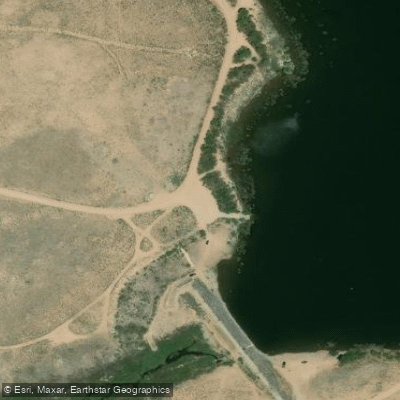
**Access and Facilities:** From Blanca, travel 0.5 miles west on Highway 160 to Airport Road, then proceed 4 miles south to reach the reservoir. The property features a boat ramp, restroom facilities, and a trailer dump station. The north and east shores are open for public access from July 16 through February 14 only.
**Boating Regulations:** Waterskiing is prohibited at Smith Reservoir. Motorized vessels are allowed, but operators should note the wakeless boating restriction designed to protect the coldwater fishery and waterfowl habitat. Motor vehicles are prohibited within 50 feet of the water's edge.
**Seasonal Considerations:** Public access is limited seasonally to minimize disturbance to waterfowl. From November 1 through the end of waterfowl season, fishing is restricted to within 200 yards of the dam. Field trials may be authorized during February, March, August, and September only, which paddlers should be aware of when planning visits during those months.
**Wildlife and Scenery:** The reservoir serves as important waterfowl habitat, supporting both migrating and nesting bird populations. The San Luis Valley setting provides dramatic mountain backdrops and opportunities for wildlife viewing. The area's high-desert climate means conditions can change rapidly, and paddlers should prepare accordingly. A valid Colorado fishing license or State Wildlife Area pass is required for visitors 16 years and older. The combination of scenic mountain views, waterfowl habitat, and coldwater fishing opportunities makes Smith Reservoir a noteworthy paddling destination in southern Colorado's high country.
Water access, boat ramps & amenities
Learn how to get on Smith Reservoir. Uncover great paddling access points, boat ramps, and all the facilities you need for an unforgettable day on the water. Some locations shown may border or include private property. Always check property boundaries and applicable regulations before visiting. PaddleWays's Public & Private Land layer can help you plan your access with confidence.
Paddle smarter with real-time insights
Whether you're en route and conditions shift or you're looking for the best spot based on current flows, we enable you to make informed decisions on the fly.








Find Places to Paddle

Over 400,000 Places to Paddle
Every user gets free access to launch points, boat ramps, and public property parcels.


Water and weather conditions (10 day forecast)
See the best times to paddle Smith Reservoir and check the forecast before you go.
No forecast data available.
Paddling near Smith Reservoir

Rio Grande
Conejos River
Canadian River
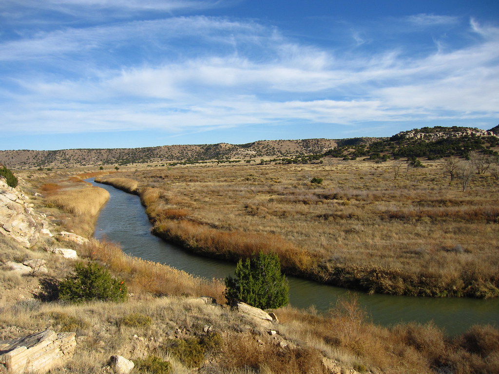
Purgatoire River
La Jara Creek
Cucharas River
Grape Creek
Rio San Antonio
Costilla Creek
Explore Colorado waters
Top paddling waters
Popular Cities
Loading popular cities...
Explore near Smith Reservoir

Smarter Paddling Starts in the App.
Paddleways gives you everything you need to plan smarter, paddle better, and own every trip from first launch to takeout.