Rio San Antonio
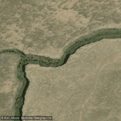
Rio San Antonio
- Boat Ramps
- 0
- Access Points
- 3
- Campsites
- 3
The Rio San Antonio is a rugged and remote waterway that carves through the volcanic landscapes of northern New Mexico. Originating in the high country near the Colorado border, this river flows southward through Rio Arriba County before joining the Rio Grande. While its total length is not precisely known, the river offers at least 20 miles of paddleable water through a seldom-seen gorge.
The most notable paddling section runs from Lagunitas to Los Pinos, spanning 20 miles of class II-III whitewater. This stretch provides an ideal balance of challenge and accessibility for intermediate paddlers, featuring a continuous series of rapids interspersed with calmer pools. A shorter 12-mile variant puts in at Atencio Canyon, offering a similar difficulty level but condensing the experience.
The Rio San Antonio's flow is heavily dependent on snowmelt, with the optimal paddling season typically running from late April through early June. During this period, the river transforms into a dynamic playground for kayakers and rafters seeking to explore its hidden wonders.
As it cuts through the volcanic gorge, the river corridor supports a diverse ecosystem. Paddlers may spot ponderosa pines clinging to the canyon walls, while golden eagles and peregrine falcons soar overhead. The area's volcanic history is evident in the dramatic rock formations that line the river's course.
Access to the Rio San Antonio can be challenging due to its remote location and potential private property issues. Paddlers typically put in near the small community of Lagunitas and take out at Los Pinos. The nearest sizeable town is Chama, about 30 miles to the northeast, which serves as a base for many river expeditions in the region.
The river holds cultural significance for the local Hispanic and Native American communities, who have relied on its waters for centuries. Today, it offers a window into the raw beauty of northern New Mexico's backcountry.
Safety considerations are paramount when paddling the Rio San Antonio. Its isolated nature means that self-rescue skills are essential, and paddlers should be prepared for limited cell phone coverage. Additionally, the river's flow can change rapidly with snowmelt or summer thunderstorms, requiring vigilant weather monitoring.
While most trips on the Rio San Antonio are completed in a single day, the 20-mile stretch from Lagunitas to Los Pinos can be extended into a two-day adventure for those seeking a more immersive wilderness experience. Overnight camping, however, requires careful planning due to the limited suitable sites and potential land ownership complexities.
For paddlers seeking an off-the-beaten-path adventure in New Mexico, the Rio San Antonio offers a thrilling journey through a landscape shaped by volcanic forces and carved by the persistent flow of water.
Water access, boat ramps & amenities
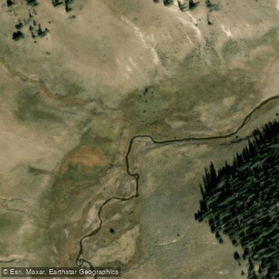
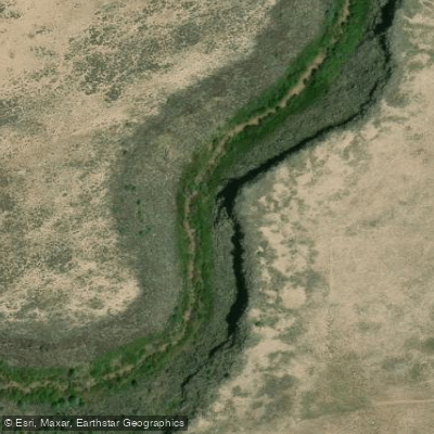
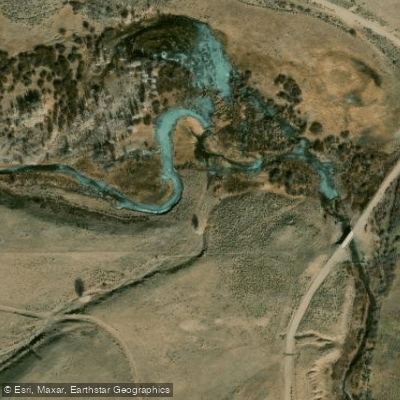
Learn how to get on Rio San Antonio. Uncover great paddling access points, boat ramps, and all the facilities you need for an unforgettable day on the water. Some locations shown may border or include private property. Always check property boundaries and applicable regulations before visiting. PaddleWays's Public & Private Land layer can help you plan your access with confidence.
Paddle smarter with real-time insights
Whether you're en route and conditions shift or you're looking for the best spot based on current flows, we enable you to make informed decisions on the fly.








Find Places to Paddle

Over 400,000 Places to Paddle
Every user gets free access to launch points, boat ramps, and public property parcels.


Water and weather conditions (10 day forecast)
See the best times to paddle Rio San Antonio and check the forecast before you go.
SAN ANTONIO RIVER NEAR MANASSA
All Flow Stations
Paddling near Rio San Antonio

Rio Grande
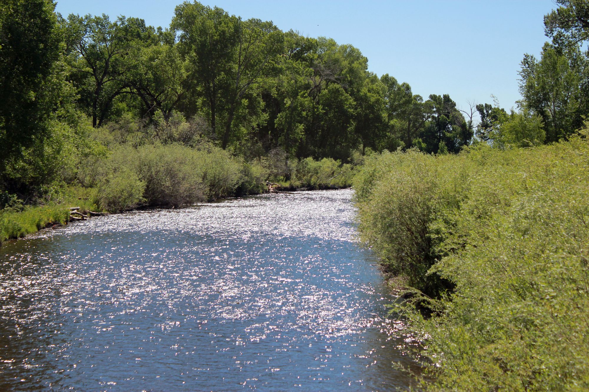
Conejos River
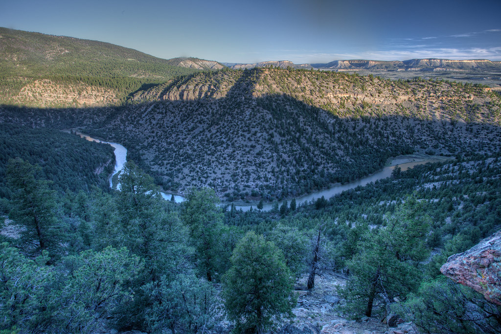
Rio Chama
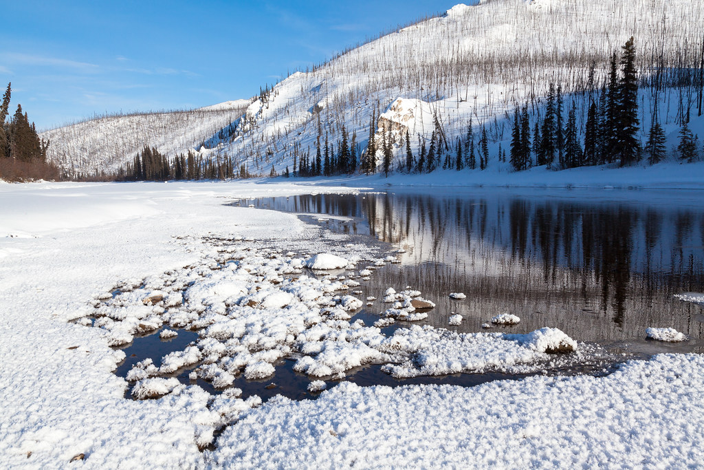
Beaver Creek
La Jara Creek
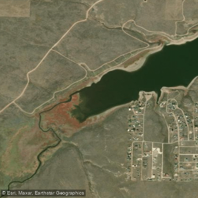
Grape Creek
South Fork Rock Creek
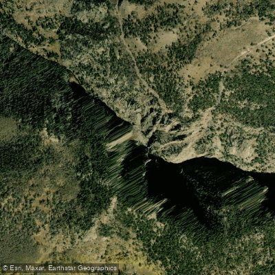
Rio de los Pinos
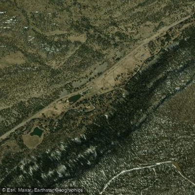
South Fork Rio Grande
Explore Colorado waters
Top paddling waters
Popular Cities
Loading popular cities...
Explore near Rio San Antonio
Access points
Nearby waters
More in Colorado

Smarter Paddling Starts in the App.
Paddleways gives you everything you need to plan smarter, paddle better, and own every trip from first launch to takeout.