McLellan Reservoir
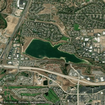
McLellan Reservoir
- Boat Ramps
- 0
- Access Points
- 0
- Campsites
- 0
McLellan Reservoir, located in Littleton, Colorado, is a mile-wide body of water that is entirely off-limits to public access for paddling or any water activities. The reservoir is owned by the City of Englewood and is surrounded by a tall security fence that prevents water access. While historically the reservoir was open for fishing in the 1970s, it was subsequently closed to public use.
The reservoir holds 1,500 acre-feet of water and receives its water from the McLellan Pump Station, which transfers water from Chatfield Reservoir. Construction of the reservoir was completed in 1965.
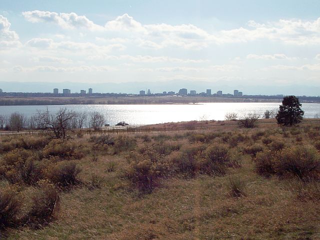
While paddling is not permitted, the reservoir can be viewed from several surrounding areas. Writers Vista Park on the northern side provides viewing access with restrooms and other facilities. Walking trails circle portions of the reservoir, offering elevated views of the water. During spring, summer, and fall, waterfowl can frequently be observed on the lake. In winter, the reservoir's surface often freezes over.
The High Line Canal Trail intersects with paths near the reservoir, and a bridge on West County Line Road crosses a section of the water. The surrounding area features deciduous trees that provide fall color, and the location is known for particularly dramatic sunsets over the water.
Given the complete restriction on water access, paddlers should instead consider nearby alternatives like Chatfield Reservoir and South Platte Reservoir, which do permit water activities.
Water access, boat ramps & amenities
Learn how to get on McLellan Reservoir. Uncover great paddling access points, boat ramps, and all the facilities you need for an unforgettable day on the water. Some locations shown may border or include private property. Always check property boundaries and applicable regulations before visiting. PaddleWays's Public & Private Land layer can help you plan your access with confidence.
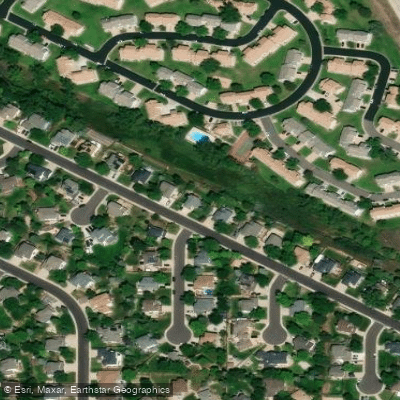
Paddle smarter with real-time insights
Whether you're en route and conditions shift or you're looking for the best spot based on current flows, we enable you to make informed decisions on the fly.








Find Places to Paddle

Over 400,000 Places to Paddle
Every user gets free access to launch points, boat ramps, and public property parcels.


Water and weather conditions (10 day forecast)
See the best times to paddle McLellan Reservoir and check the forecast before you go.
MCLELLAN RESERVOIR (INFLOW FROM DAD CLARK GULCH)
All Flow Stations
Paddling near McLellan Reservoir
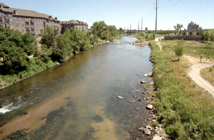
South Platte River
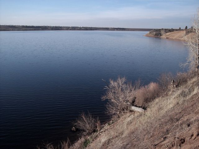
Chatfield Lake
Cherry Creek Lake
Clear Creek
Cherry Creek
Boulder Creek
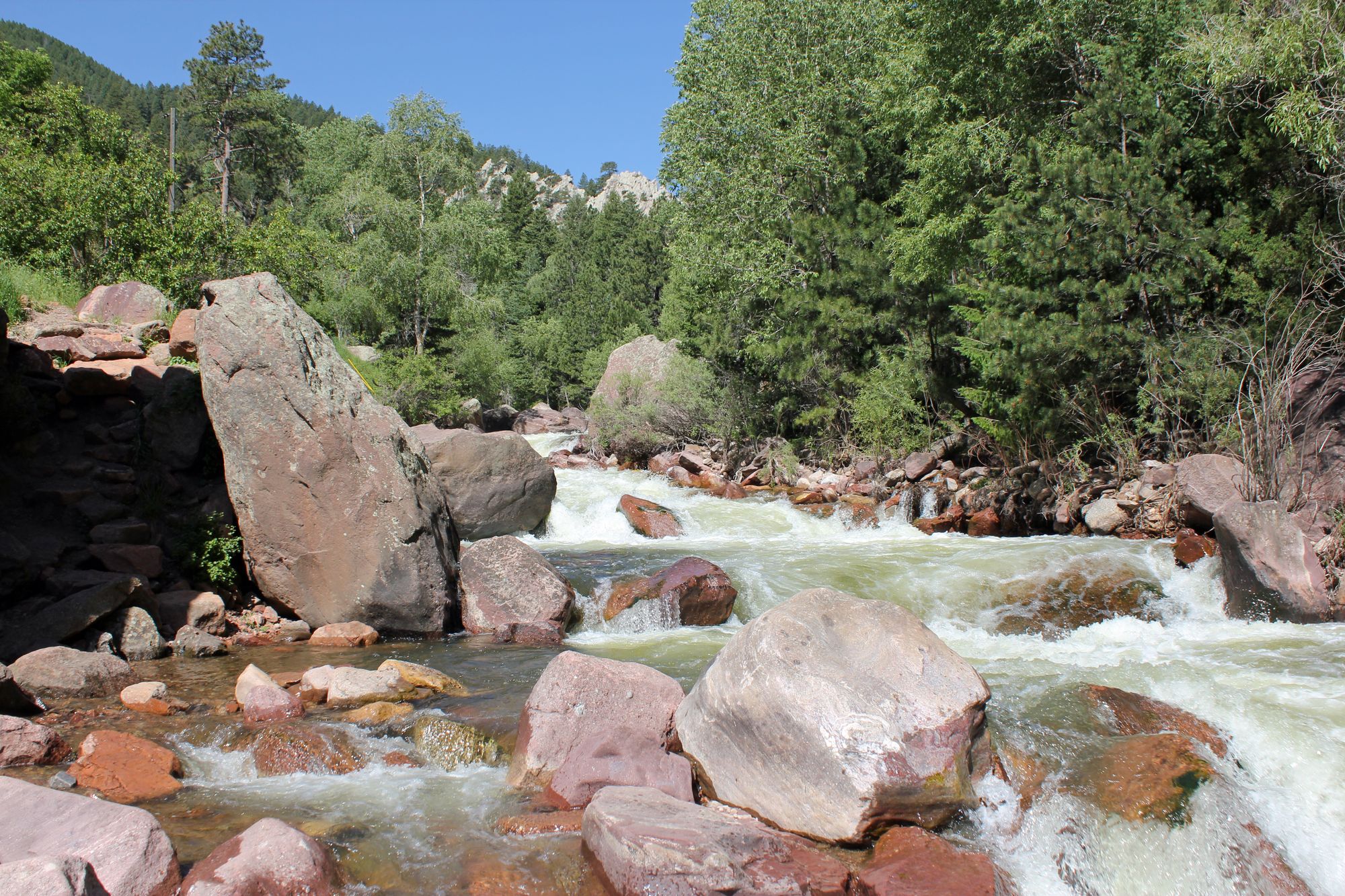
South Boulder Creek
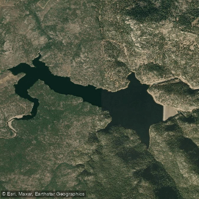
Button Rock Reservoir
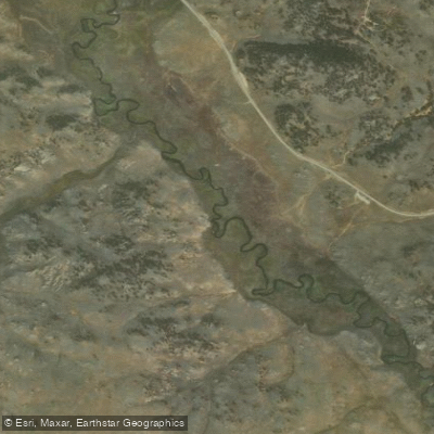
Tarryall Creek
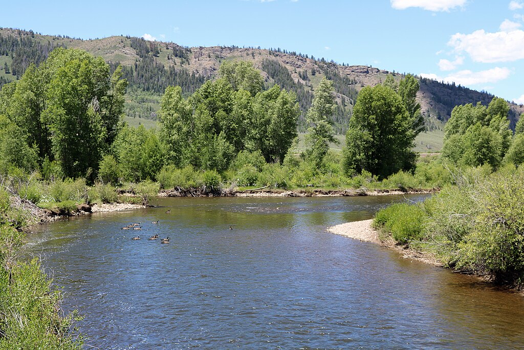
Fraser River
Explore Colorado waters
Top paddling waters
Popular Cities
Loading popular cities...
Explore near McLellan Reservoir
Access points
Nearby waters
More in Colorado

Smarter Paddling Starts in the App.
Paddleways gives you everything you need to plan smarter, paddle better, and own every trip from first launch to takeout.