South Fork Rio Grande
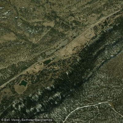
South Fork Rio Grande
- Boat Ramps
- 1
- Access Points
- 1
- Campsites
- 12
The South Fork Rio Grande originates high in Colorado's San Juan Mountains, flowing eastward through the Rio Grande National Forest before joining the main stem of the Rio Grande near the town of South Fork. This scenic river runs approximately 50 miles through a picturesque mountain valley, draining a watershed of about 216 square miles. Paddling on the South Fork Rio Grande is primarily suited for beginner and intermediate boaters, with most sections rated Class I-II. The river offers a mix of relaxing float trips and mild whitewater, making it ideal for families and those new to river running.
Popular sections include the Town Run through South Fork (3.8 miles), Wagon Wheel Gap to Palisade (5 miles), and longer stretches like South Fork to Creede (20 miles). The river's difficulty ranges from placid Class I waters near South Fork to occasional Class II+ rapids upstream. Most sections are suitable for rafts, kayaks, and canoes, though some technical skills are required for the more challenging upper reaches.
Peak flows typically occur in May and June during spring snowmelt, offering the best conditions for whitewater enthusiasts. However, the South Fork provides enjoyable floating and fishing opportunities throughout the summer and into early fall. The surrounding landscape features towering pines, aspen groves, and diverse wildlife including deer, elk, and various bird species. Anglers prize the river's Gold Medal Waters, known for excellent trout fishing.
Key landmarks include the historic town of Creede, Wagon Wheel Gap, and the Rio Grande Reservoir. The river passes through a mix of public lands and private ranches, with several state wildlife areas providing access. Primary access points are found near the towns of South Fork, Creede, and Del Norte. Popular put-ins include Town Park in South Fork, Lower Coller State Wildlife Area, and Wagon Wheel Gap.
The South Fork Rio Grande holds cultural significance as part of the broader Rio Grande system, which has been vital to human settlement in the region for centuries. Today, it plays a crucial role in local recreation and tourism economies. Safety considerations include being prepared for rapid weather changes typical of high mountain environments. Paddlers should be aware of private property boundaries and respect local regulations, particularly in Gold Medal fishing areas.
While most trips on the South Fork are day excursions, multi-day adventures are possible by combining different sections or continuing onto the main Rio Grande. The river's generally mild nature and beautiful surroundings make it an excellent choice for those seeking a scenic and accessible Colorado paddling experience.
Water access, boat ramps & amenities
Learn how to get on South Fork Rio Grande. Uncover great paddling access points, boat ramps, and all the facilities you need for an unforgettable day on the water. Some locations shown may border or include private property. Always check property boundaries and applicable regulations before visiting. PaddleWays's Public & Private Land layer can help you plan your access with confidence.
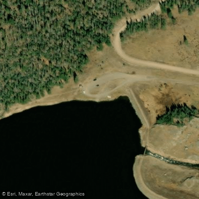
Paddle smarter with real-time insights
Whether you're en route and conditions shift or you're looking for the best spot based on current flows, we enable you to make informed decisions on the fly.








Find Places to Paddle

Over 400,000 Places to Paddle
Every user gets free access to launch points, boat ramps, and public property parcels.


Water and weather conditions (10 day forecast)
See the best times to paddle South Fork Rio Grande and check the forecast before you go.
SOUTH FORK OF THE RIO GRANDE
All Flow Stations
Paddling near South Fork Rio Grande

Rio Grande
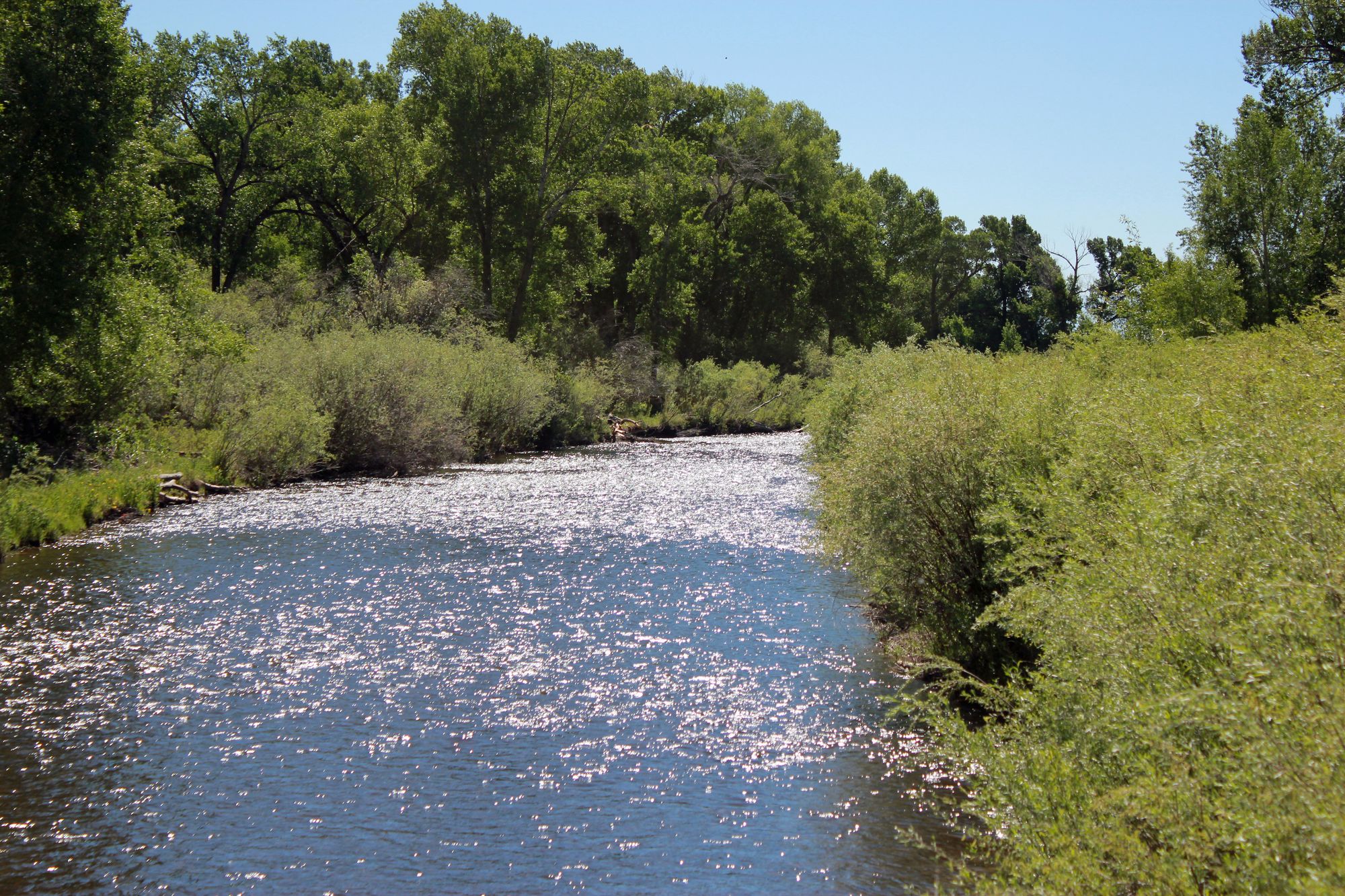
Conejos River

Arkansas River
Beaver Creek
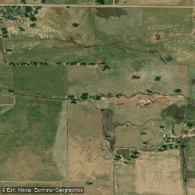
La Jara Creek
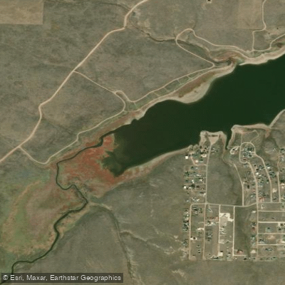
Grape Creek
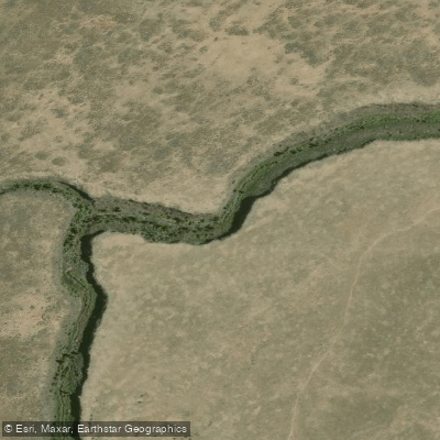
Rio San Antonio
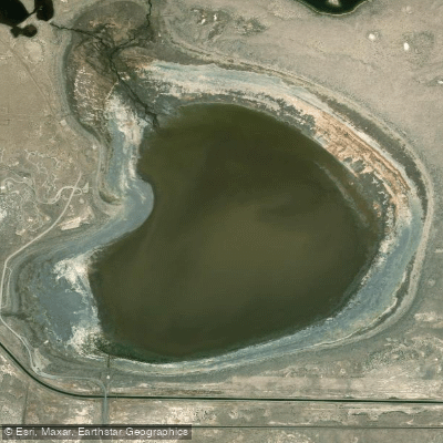
San Luis Lake
South Fork Rock Creek
Explore Colorado waters
Top paddling waters
Popular Cities
Loading popular cities...
Explore near South Fork Rio Grande
Access points
Nearby waters
More in Colorado

Smarter Paddling Starts in the App.
Paddleways gives you everything you need to plan smarter, paddle better, and own every trip from first launch to takeout.