Beaver Creek
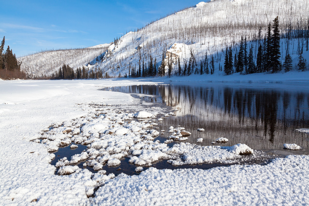
Beaver Creek
- Boat Ramps
- 3
- Access Points
- 5
- Campsites
- 10
Beaver Creek in Rio Grande County, Colorado flows through the high-elevation terrain of the San Juan Mountains, contributing to the South Fork Rio Grande watershed. This mountain stream originates in the rugged backcountry of the Rio Grande National Forest, descending through forested valleys and alpine meadows before eventually joining the larger river system. The creek's upper reaches lie within wilderness-quality terrain, where the water tumbles over granite bedrock and through narrow canyon sections.
At approximately 102 acres, Beaver Creek Reservoir serves as a significant landmark along the watercourse, situated at elevations between 8,764 and 8,780 feet. This impoundment, managed by Colorado Parks and Wildlife, was created by a dam with over a century of history and plays a crucial role in San Luis Valley water management.
Access to Beaver Creek is primarily via Beaver Creek Road, which branches south from Highway 160. The reservoir lies roughly 7 miles from this junction, with the community of South Fork serving as the nearest population center. The area features sandy beaches along portions of the shoreline interspersed with more rugged, rocky sections characteristic of high-mountain reservoirs.
The surrounding landscape supports typical subalpine forest ecosystems, with stands of spruce, fir, and aspen dominating the hillsides. Wildlife in the area includes elk, mule deer, black bear, and various bird species.
The reservoir itself has been regularly stocked by Colorado Parks and Wildlife since the 2010s, following significant infrastructure improvements. Fishing opportunities focus on trout species, with kokanee salmon snagging permitted from October through December.
Recreational regulations reflect the area's dual purpose as both a water storage facility and public recreation site. Boating is restricted to wakeless operation to protect the aging dam infrastructure and maintain water quality. Firearms discharge is prohibited throughout the property, and ice fishing activities are subject to specific safety restrictions including prohibitions on open fires directly on the ice surface.
The creek below the dam offers stream fishing opportunities extending several miles downstream, though access becomes more limited in lower reaches. The historic significance of the reservoir's water management role connects to broader patterns of agricultural development in the San Luis Valley, where irrigation infrastructure has shaped settlement patterns for generations.
Winter access requires preparation for high-elevation conditions, with ice fishing shelters restricted to portable units only. The area's elevation ensures a substantial winter season, typically from November through April, when snow cover dominates the landscape.
Water access, boat ramps & amenities
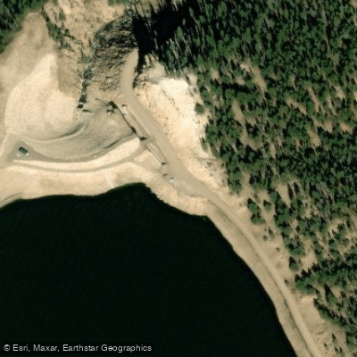
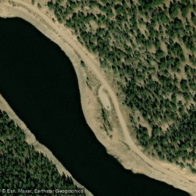
Learn how to get on Beaver Creek. Uncover great paddling access points, boat ramps, and all the facilities you need for an unforgettable day on the water. Some locations shown may border or include private property. Always check property boundaries and applicable regulations before visiting. PaddleWays's Public & Private Land layer can help you plan your access with confidence.
Paddle smarter with real-time insights
Whether you're en route and conditions shift or you're looking for the best spot based on current flows, we enable you to make informed decisions on the fly.








Find Places to Paddle

Over 400,000 Places to Paddle
Every user gets free access to launch points, boat ramps, and public property parcels.


Water and weather conditions (10 day forecast)
See the best times to paddle Beaver Creek and check the forecast before you go.
BEAVER CREEK BELOW BEAVER CREEK RESERVOIR
All Flow Stations
Paddling near Beaver Creek

Rio Grande
Conejos River
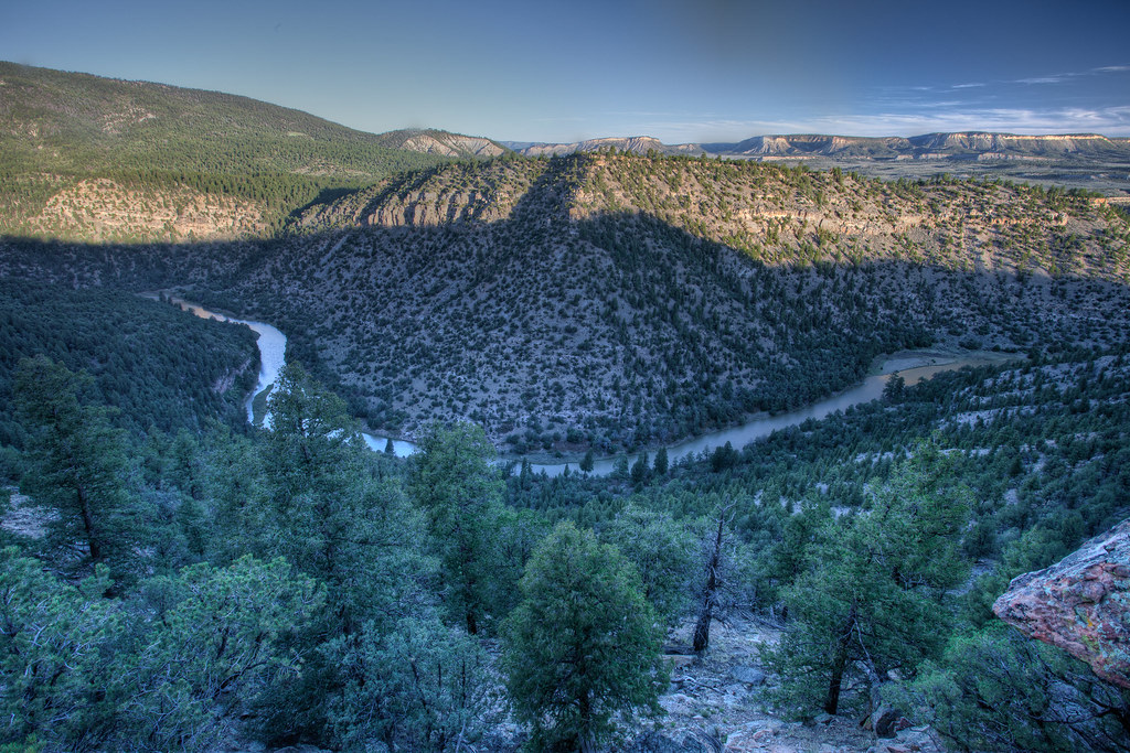
Rio Chama
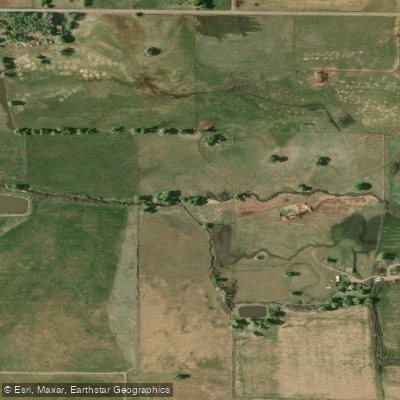
La Jara Creek
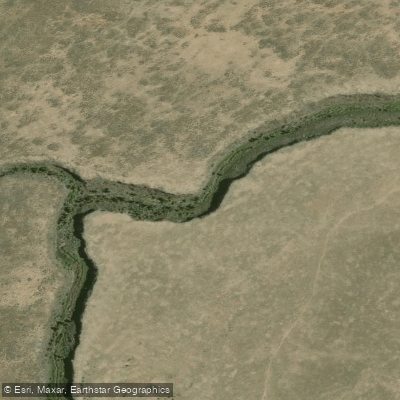
Rio San Antonio
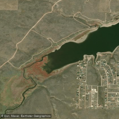
Grape Creek
South Fork Rock Creek
Rio de los Pinos
South Fork Rio Grande
Explore Colorado waters
Top paddling waters
Popular Cities
Loading popular cities...
Explore near Beaver Creek
Access points
- Beaver Creek Reservoir Boat Ramp
- Boat Ramp
- Upper Beaver Creek Campground Boat Ramp
- Beaver Creek Reservoir Access
- Beaver Creek Reservoir Access
- Escondida Drive Bridge
- Upper Beaver Creek Campground
- Lower Beaver Creek Campground
- Cross Creek Campground
- Highway Springs Campground
- Beaver Creek Site 2 Campground
- Beaver Creek Site 1 Campground
- All 16 spots
Nearby waters
More in Colorado

Smarter Paddling Starts in the App.
Paddleways gives you everything you need to plan smarter, paddle better, and own every trip from first launch to takeout.