South Fork Rock Creek
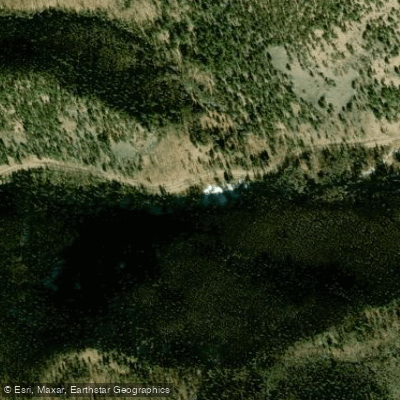
South Fork Rock Creek
- Boat Ramps
- 0
- Access Points
- 3
- Campsites
- 5
The South Fork Rock Creek in Colorado originates high in the San Juan Mountains, flowing eastward through rugged terrain before joining the main stem of the Rio Grande near the town of South Fork. This tributary of the Rio Grande winds through a scenic valley, carving its way between towering pines and rocky outcroppings characteristic of the southern Colorado landscape.
Paddling opportunities on the South Fork Rock Creek are limited, as it is primarily known as a destination for fly fishing. However, the nearby Rio Grande offers excellent rafting and kayaking options for those seeking whitewater adventure. The most popular section runs from Rio Grande Reservoir to Thirty Mile Bridge, featuring a mix of Class III and IV rapids through a small box canyon and longer stretches of continuous whitewater.
The difficulty of paddling in this area ranges from Class I float trips near the town of South Fork to more challenging Class III-IV runs upstream. Intermediate to advanced skills are required for the more technical sections, while beginners can enjoy guided trips on calmer stretches. Spring runoff, typically peaking in late May to early June, provides the best conditions for whitewater enthusiasts. However, the river remains floatable throughout the summer, with gentler flows ideal for fishing trips and family outings.
The surrounding ecosystem supports diverse wildlife, including elk, mule deer, and a variety of bird species. Anglers prize the area for its populations of brown and rainbow trout. Key landmarks include the Rio Grande Reservoir, the small town of Creede with its rich mining history, and the broader San Luis Valley.
Access points are available at Rio Grande Reservoir, Thirty Mile Bridge, and various locations near the towns of Creede and South Fork. The river holds significant cultural importance, having sustained indigenous peoples for millennia before becoming central to the region's mining and agricultural development. Today, it remains a vital resource for local communities and a draw for outdoor enthusiasts.
Safety considerations include swift water, potential strainers, and rapidly changing weather conditions typical of high mountain environments. Paddlers should be aware of private property boundaries and respect local regulations regarding river access and use.
While multi-day trips are possible on the longer stretches of the Rio Grande, the South Fork Rock Creek and its immediate vicinity are more suited to day trips, offering a perfect blend of adventure and accessibility in the heart of Colorado's mountainous terrain.
Water access, boat ramps & amenities
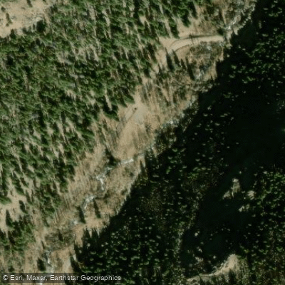
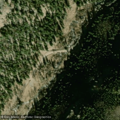
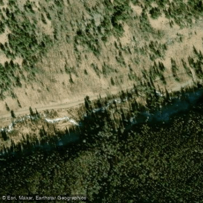
Learn how to get on South Fork Rock Creek. Uncover great paddling access points, boat ramps, and all the facilities you need for an unforgettable day on the water. Some locations shown may border or include private property. Always check property boundaries and applicable regulations before visiting. PaddleWays's Public & Private Land layer can help you plan your access with confidence.
Paddle smarter with real-time insights
Whether you're en route and conditions shift or you're looking for the best spot based on current flows, we enable you to make informed decisions on the fly.








Find Places to Paddle

Over 400,000 Places to Paddle
Every user gets free access to launch points, boat ramps, and public property parcels.


Water and weather conditions (10 day forecast)
See the best times to paddle South Fork Rock Creek and check the forecast before you go.
No forecast data available.
Paddling near South Fork Rock Creek

Rio Grande
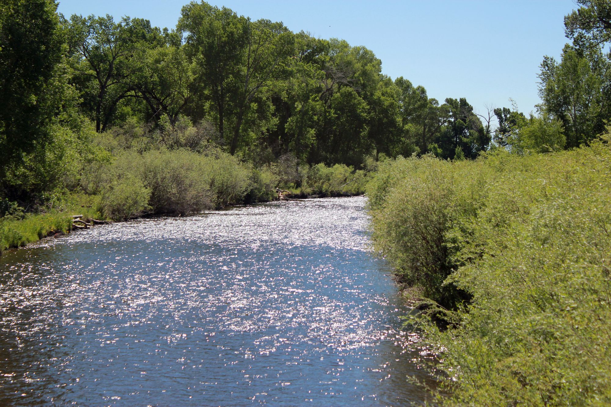
Conejos River
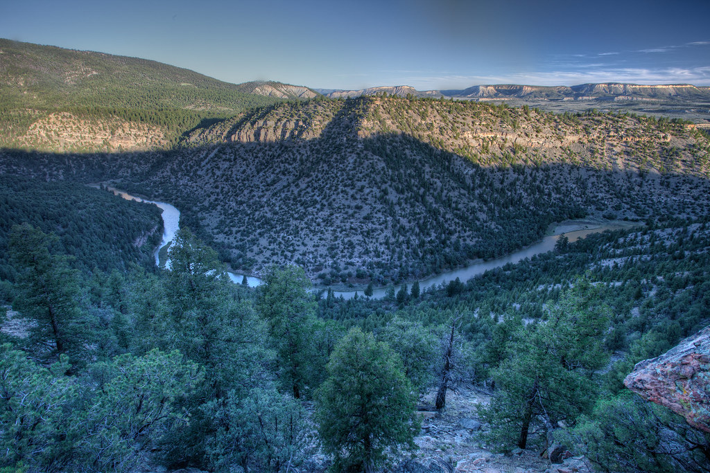
Rio Chama
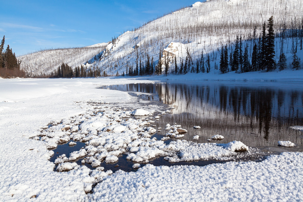
Beaver Creek
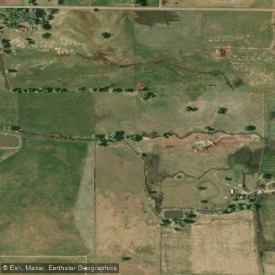
La Jara Creek
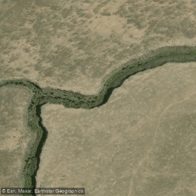
Rio San Antonio
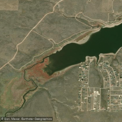
Grape Creek
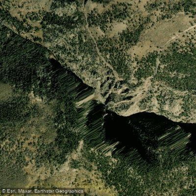
Rio de los Pinos
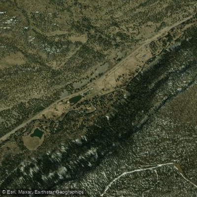
South Fork Rio Grande
Explore Colorado waters
Top paddling waters
Popular Cities
Loading popular cities...
Explore near South Fork Rock Creek
Access points
Nearby waters
More in Colorado

Smarter Paddling Starts in the App.
Paddleways gives you everything you need to plan smarter, paddle better, and own every trip from first launch to takeout.