Strontia Springs Reservoir
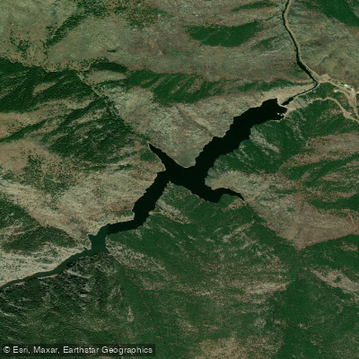
Strontia Springs Reservoir
- Boat Ramps
- 0
- Access Points
- 0
- Campsites
- 2
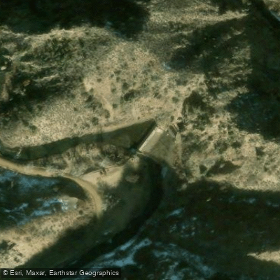
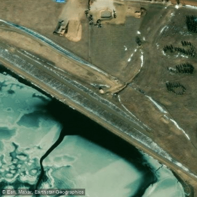
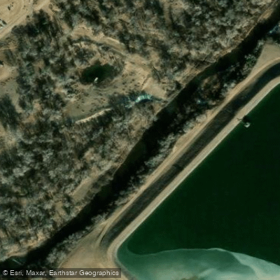
Strontia Springs Reservoir is a 98-acre man-made lake located in Waterton Canyon south of Littleton, Colorado. Created in 1983 by the 243-foot Strontia Springs Dam, the reservoir serves as a crucial water source for Denver, with approximately 80% of the city's water passing through it.
IMPORTANT: Boating and paddling are strictly prohibited on Strontia Springs Reservoir and the South Platte River through Waterton Canyon. This restriction is enforced by Denver Water to protect the drinking water supply.
The reservoir sits at an elevation of 6,002 feet and has a capacity of 7,864 acre-feet. While paddling is not permitted, the surrounding area offers significant natural attractions. The reservoir and canyon are home to Rocky Mountain bighorn sheep, mule deer, black bears, mountain lions, elk, and over 40 species of birds including herons, warblers, flycatchers, owls, and buntings.
Access to the reservoir requires a 6.5-mile journey along the Waterton Trail, which is open to hiking, biking, and horseback riding. The Bighorn Sheep Rest Area near the reservoir provides bathrooms and picnic facilities. The reservoir connects to multiple trail systems including the Colorado Trail and routes into Roxborough State Park.
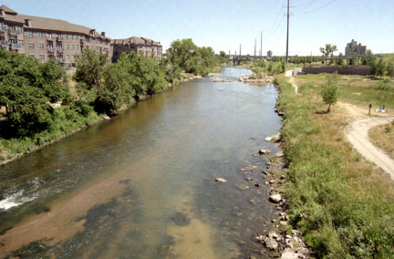
The South Platte River, which feeds the reservoir, flows clean and clear but is not potable without treatment. The steep shorelines around the reservoir make water access challenging. Before the dam's construction in 1983, this section of Waterton Canyon was known for challenging whitewater, including the infamous "Widowmaker" stretch which now lies submerged beneath the reservoir.
The area is open year-round from 30 minutes before sunrise to 30 minutes after sunset. No dogs or other pets are allowed in the canyon to protect the wildlife populations.
Water access, boat ramps & amenities
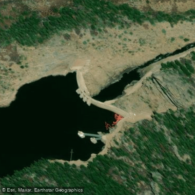
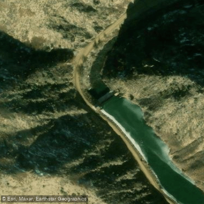
Learn how to get on Strontia Springs Reservoir. Uncover great paddling access points, boat ramps, and all the facilities you need for an unforgettable day on the water. Some locations shown may border or include private property. Always check property boundaries and applicable regulations before visiting. PaddleWays's Public & Private Land layer can help you plan your access with confidence.
Paddle smarter with real-time insights
Whether you're en route and conditions shift or you're looking for the best spot based on current flows, we enable you to make informed decisions on the fly.








Find Places to Paddle

Over 400,000 Places to Paddle
Every user gets free access to launch points, boat ramps, and public property parcels.


Water and weather conditions (10 day forecast)
See the best times to paddle Strontia Springs Reservoir and check the forecast before you go.
SOUTH PLATTE RIVER ABV STRONTIA SPGS RESERVOIR, CO
All Flow Stations
Paddling near Strontia Springs Reservoir
South Platte River
Chatfield Lake
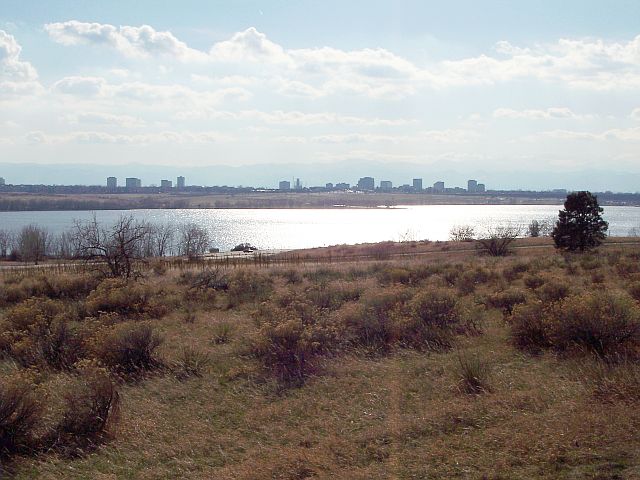
Cherry Creek Lake
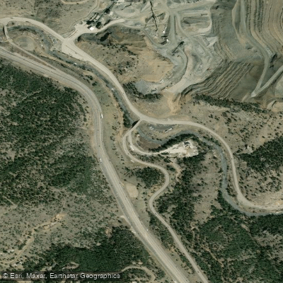
Clear Creek
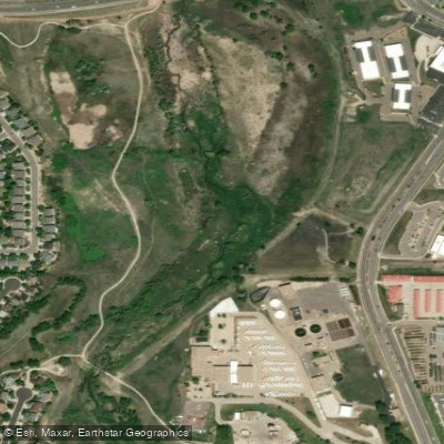
Cherry Creek
Boulder Creek
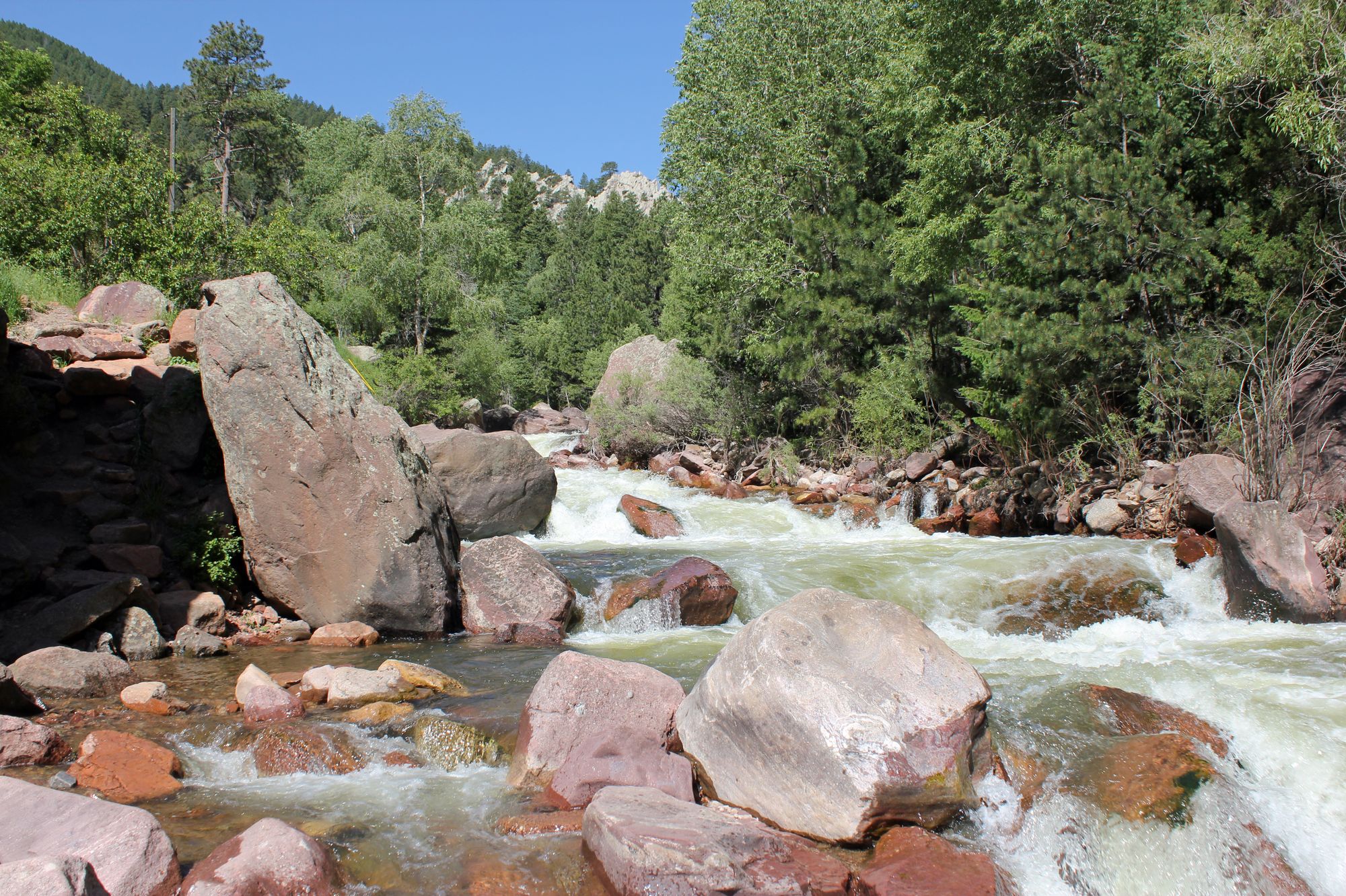
South Boulder Creek
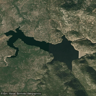
Button Rock Reservoir
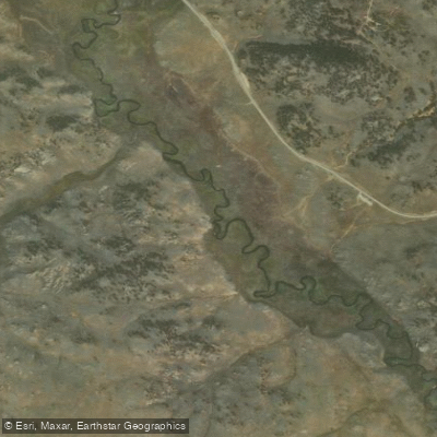
Tarryall Creek
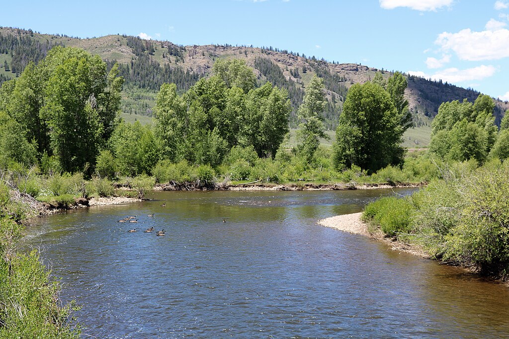
Fraser River
Explore Colorado waters
Top paddling waters
Popular Cities
Loading popular cities...
Explore near Strontia Springs Reservoir
Access points
Nearby waters
More in Colorado

Smarter Paddling Starts in the App.
Paddleways gives you everything you need to plan smarter, paddle better, and own every trip from first launch to takeout.