Curated by PaddleWays
RouteClass V
- Distance
- 1.3 mi
- Paddle time
- ~0.5 hrs
- Best for
- Kayak
- Put-in → take-out
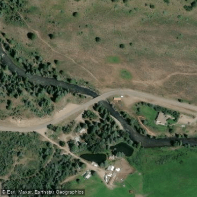
- Bible Camp → Crystal River
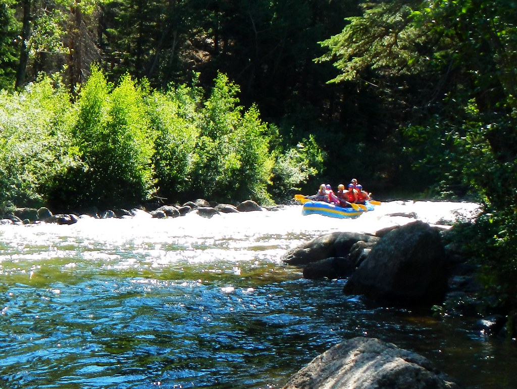
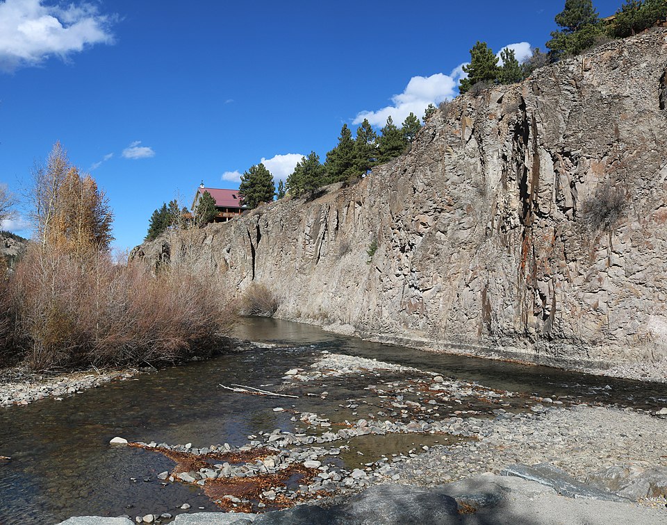
Class V+ whitewater in narrow canyon
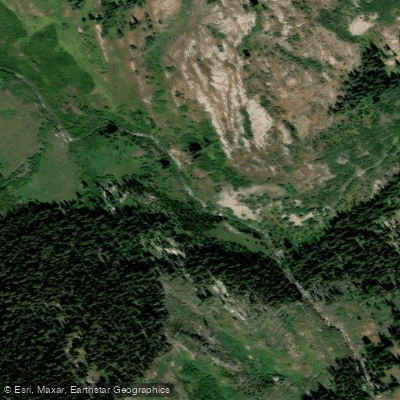
Yule Creek tumbles down from the Elk Mountains in western Colorado, carving a dramatic descent from over 10,000 feet elevation through the Raggeds Wilderness before joining the Crystal River near the historic town of Marble in Pitkin and Gunnison Counties. This alpine tributary originates in the high country above the famous Yule Marble Quarry—the source of marble used in the Lincoln Memorial and Tomb of the Unknown Soldier—and flows through a landscape of towering peaks, dense timber, and sheer-walled canyons.
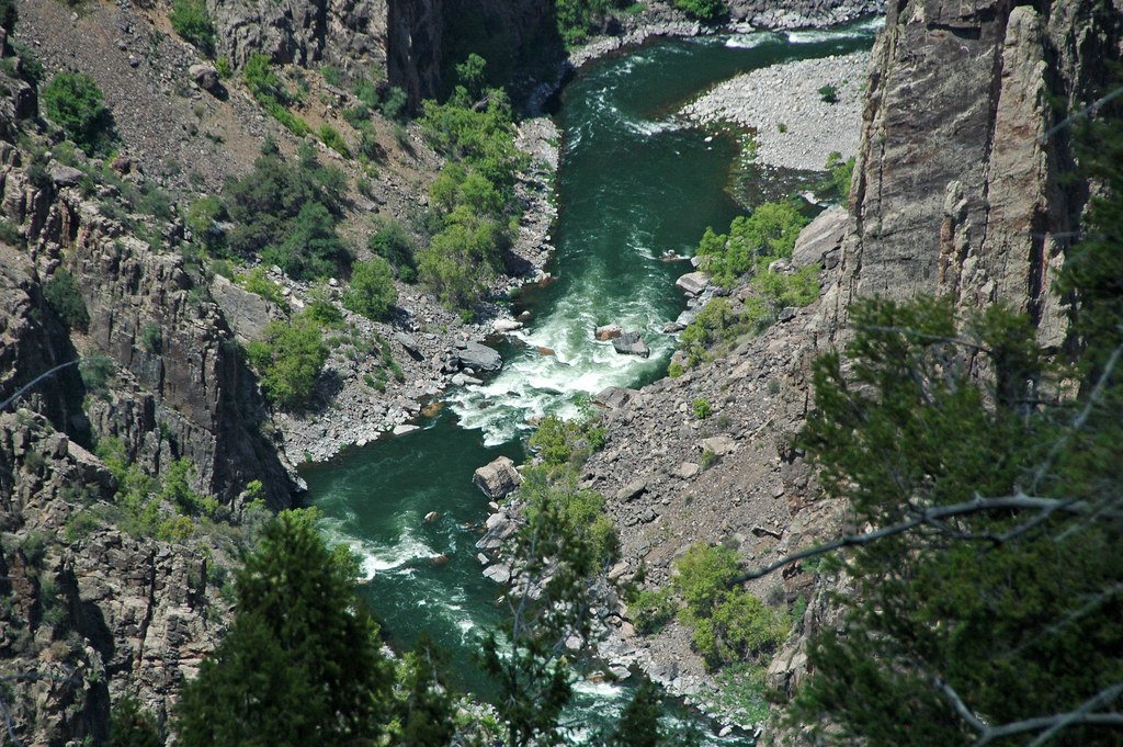
The creek has earned legendary status among expert whitewater kayakers as one of Colorado's most extreme and committing runs. Featured in prominent kayaking films including Valhalla and Aphrodisia, Yule Creek presents approximately 4 miles of Class V+ whitewater from the marble quarry area down to the Crystal River confluence near Beaver Pond. The gradient is ferocious, with paddlers describing a "horrendous gradient-loss" that creates massive drops in rapid succession. The lower section's final four drops—including features nicknamed "Ball and Wall" and "Wall Ride"—are particularly notorious, with the first drop measuring around 30 feet tall followed immediately by technical moves through narrow, sheer-walled canyon sections where paddlers reach speeds approaching 25 mph.
Only the most skilled and experienced kayakers attempt Yule Creek, with some choosing to portage their boats upstream from the quarry to access the upper headwaters run. The creek demands precise line selection and absolute commitment, as the narrow canyon offers limited options for safety or rescue. Many paddlers consider it among the scariest runs in Colorado, not necessarily for technical difficulty but for the sheer size and consequence of the drops.
The creek flows through spectacular wilderness terrain accessible via County Road 3 from Marble, located about 25 miles south of Carbondale off Highway 133. The Yule Creek Trail #2083 follows the drainage for 10 miles through the Raggeds Wilderness, climbing 2,700 feet from 9,000 to 11,700 feet elevation, offering hikers views of the same dramatic alpine valley that kayakers descend.
Runnable flows typically occur during spring snowmelt and after significant precipitation, though optimal water levels remain deliberately vague within the expert kayaking community. The remote location west of Aspen, tucked behind the Maroon Bells range, requires significant commitment just to reach the put-in via rough mountain roads. This isolation, combined with the extreme difficulty and consequence, means Yule Creek sees only a handful of descents each season by Colorado's most accomplished paddlers.
Curated routes
Hand-picked by the PaddleWays team, with put-ins, take-outs, paddle times and the hazards along the way.
RouteClass V
RouteClass V
Hazards
No paddler has reported a hazard here yet, so these are the dams, falls and big rapids on our map. Hazards change with flows and storms, so check them before you launch.
From the community
Nobody has shared a trip on Yule Creek yet. Paddle it, then tell the next paddler how it went.
See exactly where the public can get on and off the river. Launch points and boat ramps are paired with PaddleWays' public land data so you know where you can legally land.
Public shoreline
72%of the river's shoreline is public
Flows, weather and a route-by-route verdict, so you know which stretch of the Yule Creek is worth paddling today.
No forecast data available.
Live flows, marked hazards and fresh trip reports from paddlers who were just on the water, all in one place.





Every user gets free access to launch points, boat ramps, and public property parcels.
Loading popular cities...
PaddleWays gives you everything you need to plan smarter, paddle better, and own every trip from first launch to takeout.