Assawoman Bay
- Saltwater
- Bay
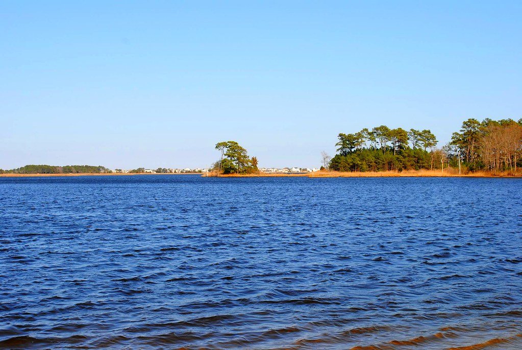
Assawoman Bay
- Saltwater
- Bay
- Sq. miles
- 16
- Boat Ramps
- 6
- Access Points
- 3
- Campsites
- 0
Assawoman Bay is a coastal saltwater bay located along the Delaware and Maryland border, connected to the larger inland bays system. For paddlers, the primary access is through its southern portion, known as Little Assawoman Bay, and the connecting Assawoman Canal. The bay is a broad, open water body with significant exposure to wind, making conditions highly dependent on weather. Paddlers must be mindful of wind and the resulting wave fetch across the open water, as well as motorboat traffic, particularly in marked channels. The area is a brackish water estuary and saltmarsh, featuring long stretches of marsh grasses and pine woods along its shores.
Several public launch sites provide access. In Delaware, key launches include the Assawoman Recreation Area within Fenwick Island State Park, which requires a daily park entry fee, and the free launches at Sassafras Landing, Strawberry Landing, and Mulberry Landing within the Assawoman Wildlife Area. The Assawoman Canal, a four-mile long, dredged waterway connecting Indian River Bay to Little Assawoman Bay, offers protected paddling with launches at the Assawoman Canal Trailhead on New Road and the Guy Street boat ramp below the Jefferson Bridge. The canal is narrow, calm, and lined with trees, providing shade and a different experience from the open bay.
Tides significantly influence paddling conditions, with the nearest reference tide tables being for Indian River Inlet. Currents are present, notably stronger at the northern end of the Assawoman Canal, so planning a trip with the tide is advised. The open bay features salt marsh islands and numerous small creeks and cuts within the wildlife area, ideal for exploration. Wildlife is abundant, with opportunities to see various bird species. The overall experience ranges from exposed, wind-affected paddling in the open bay to calm, sheltered travel in the canal and marsh creeks. Paddlers should always be prepared for changing weather, wind, and tides, and remain vigilant for boat traffic.
Water access, boat ramps & amenities
Learn how to get on Assawoman Bay. Uncover great paddling access points, boat ramps, and all the facilities you need for an unforgettable day on the water. Some locations shown may border or include private property. Always check property boundaries and applicable regulations before visiting. PaddleWays's Public & Private Land layer can help you plan your access with confidence.
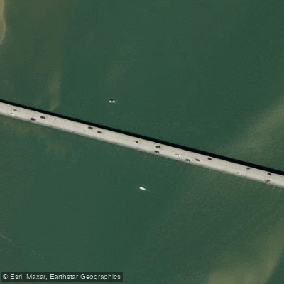
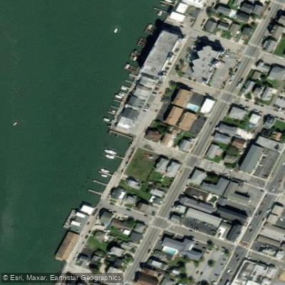
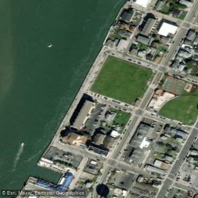
Paddle smarter with real-time insights
Whether you're en route and conditions shift or you're looking for the best spot based on current flows, we enable you to make informed decisions on the fly.








Find Places to Paddle

Over 400,000 Places to Paddle
Every user gets free access to launch points, boat ramps, and public property parcels.


Tides, wind & water conditions (10 day forecast)
On open water, wind and tide matter as much as the weather. See the best times to paddle Assawoman Bay and check the marine forecast before you launch.
Loading tide predictions…
Paddling near Assawoman Bay

Delaware River
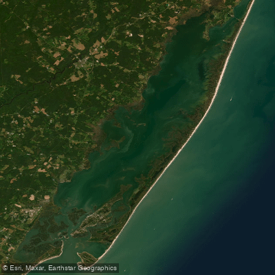
Chincoteague Bay
Pocomoke River
Indian River
Manokin River
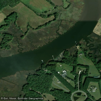
Wicomico River
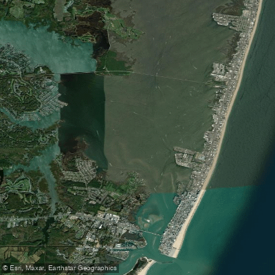
Isle of Wight Bay
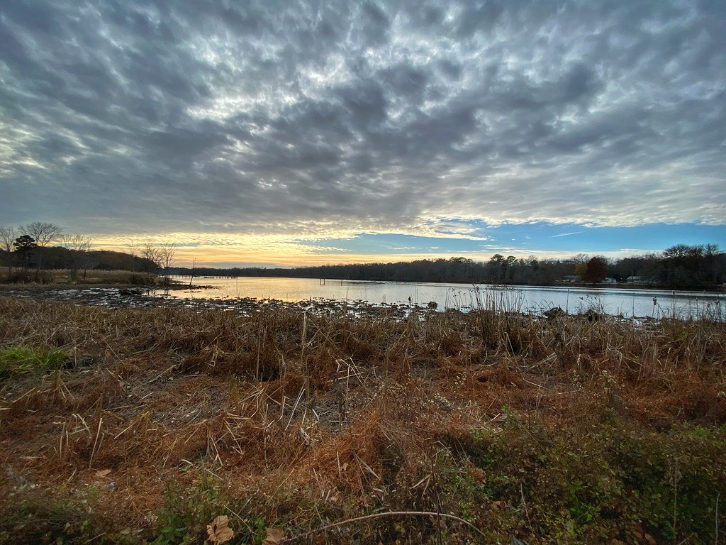
Nanticoke River
Explore Delaware waters
Top paddling waters
Popular Cities
Loading popular cities...
Explore near Assawoman Bay
Access points
- Northside Park Boat Ramp
- Bahia Marina Boat Ramp
- Homeport Farm Park Boat Ramp
- 64th Street Boat Ramp Ocean City
- Isle of Wight Park Boat Ramp
- Homer Gudelsky Park Boat Ramp
- Route 50 Bridge Access
- 9th Street Pier
- Ocean City - Chicago Avenue Access
- Drum Creek Bridge
- Herring Creek Bridge
- Buntings Branch Bridge
- All 25 spots
Nearby waters
More in Delaware

Smarter Paddling Starts in the App.
Paddleways gives you everything you need to plan smarter, paddle better, and own every trip from first launch to takeout.