Isle of Wight Bay
- Saltwater
- Bay
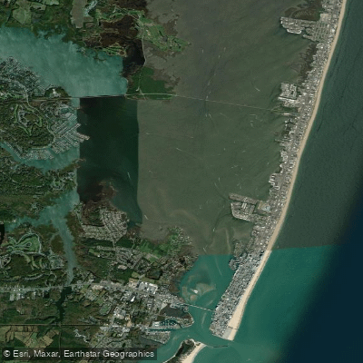
Isle of Wight Bay
- Saltwater
- Bay
- Sq. miles
- 6.7
- Boat Ramps
- 0
- Access Points
- 3
- Campsites
- 0
Isle of Wight Bay is a central inland saltwater bay in Ocean City, Maryland, connected to Sinepuxent Bay to the south and Assawoman Bay to the north. It is a heavily used waterway characterized by open water that can become quite choppy, especially in a south wind which creates a wide-open fetch. The bay is relatively shallow in many areas, with a mud bottom exposed at low tide. Tidal influence is significant, with a typical range of 2 to 3 feet; paddlers must consult tide charts and plan to avoid low tide periods, which create a "mudfest" along the shores and marsh edges. The area experiences moderate to high motorboat traffic, particularly around the Route 90 bridge and near bayside bars and restaurants.
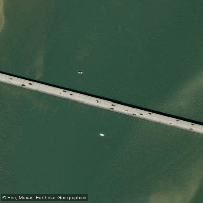
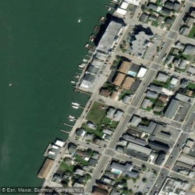
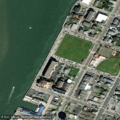
Several public access points exist. The Isle of Wight Nature Park, south of the Route 90 bridge, offers a free public park with a non-motorized launching area, a small beach, a crabbing pier, and picnic tables. Gum Point Landing, via Turville Creek on Gum Point Road, provides a sheltered boat ramp and kayak launch with restrooms, offering good protected access to the bay. The Ocean City Boat Ramp at 64th Street provides direct bay access but is busy in summer. Bahia Marina on the western shore offers a boat ramp launch point into calm, sheltered waters suitable for beginners. Paddlers can also launch from the community of Ocean Pines to access the bay via its network of water trails.
The bay's environment includes extensive salt marshes and tidal creeks, particularly along the southern shore of St. Martin's Neck, which offer quiet, sheltered paddling away from main channels. Wildlife sightings are common and include diamondback terrapins, Maryland blue crabs, ospreys, egrets, herons, horseshoe crabs, jellyfish, and occasionally dolphins. A circumnavigation of the Isle of Wight peninsula is possible but requires a multi-hour trip involving a portage across St. Martin's Neck Road through tick-infested vegetation. A more relaxed route involves launching from the Isle of Wight park, paddling west under the Route 90 bridge, and exploring the southern shoreline creeks near the Lighthouse Sound Golf Course. The paddling season is primarily spring through fall, with water temperatures ranging from the mid-40s Fahrenheit in early spring to the low 70s in summer.
Water access, boat ramps & amenities
Learn how to get on Isle of Wight Bay. Uncover great paddling access points, boat ramps, and all the facilities you need for an unforgettable day on the water. Some locations shown may border or include private property. Always check property boundaries and applicable regulations before visiting. PaddleWays's Public & Private Land layer can help you plan your access with confidence.
Paddle smarter with real-time insights
Whether you're en route and conditions shift or you're looking for the best spot based on current flows, we enable you to make informed decisions on the fly.








Find Places to Paddle

Over 400,000 Places to Paddle
Every user gets free access to launch points, boat ramps, and public property parcels.


Tides, wind & water conditions (10 day forecast)
On open water, wind and tide matter as much as the weather. See the best times to paddle Isle of Wight Bay and check the marine forecast before you launch.
Loading tide predictions…
Paddling near Isle of Wight Bay

Delaware River
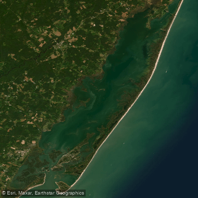
Chincoteague Bay
Pocomoke River
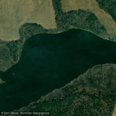
Indian River
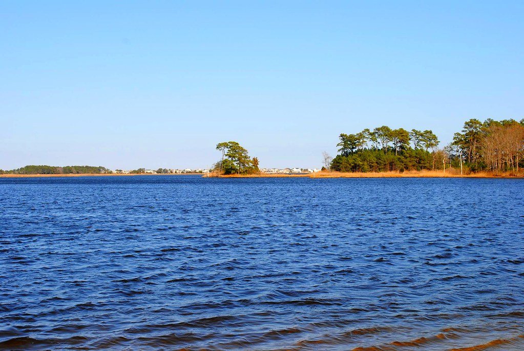
Assawoman Bay
Manokin River
Wicomico River
Nanticoke River
Explore Maryland waters
Top paddling waters
Popular Cities
Loading popular cities...
Explore near Isle of Wight Bay
Access points
Nearby waters
More in Maryland

Smarter Paddling Starts in the App.
Paddleways gives you everything you need to plan smarter, paddle better, and own every trip from first launch to takeout.