Curated by PaddleWays
RouteFlatwater
- Distance
- 9.9 mi
- Paddle time
- ~3.5 hrs
- Best for
- Kayak, canoe
- Put-in → take-out
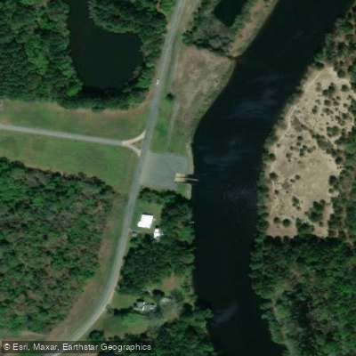
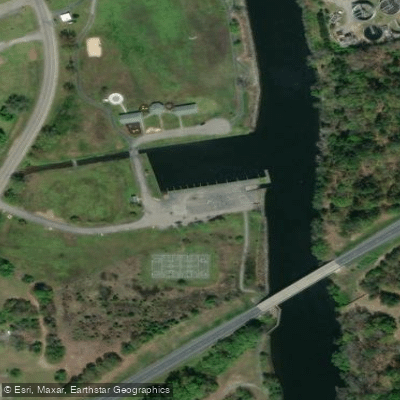
- Federalsburg VFW Boat Ramp → Brookview Access
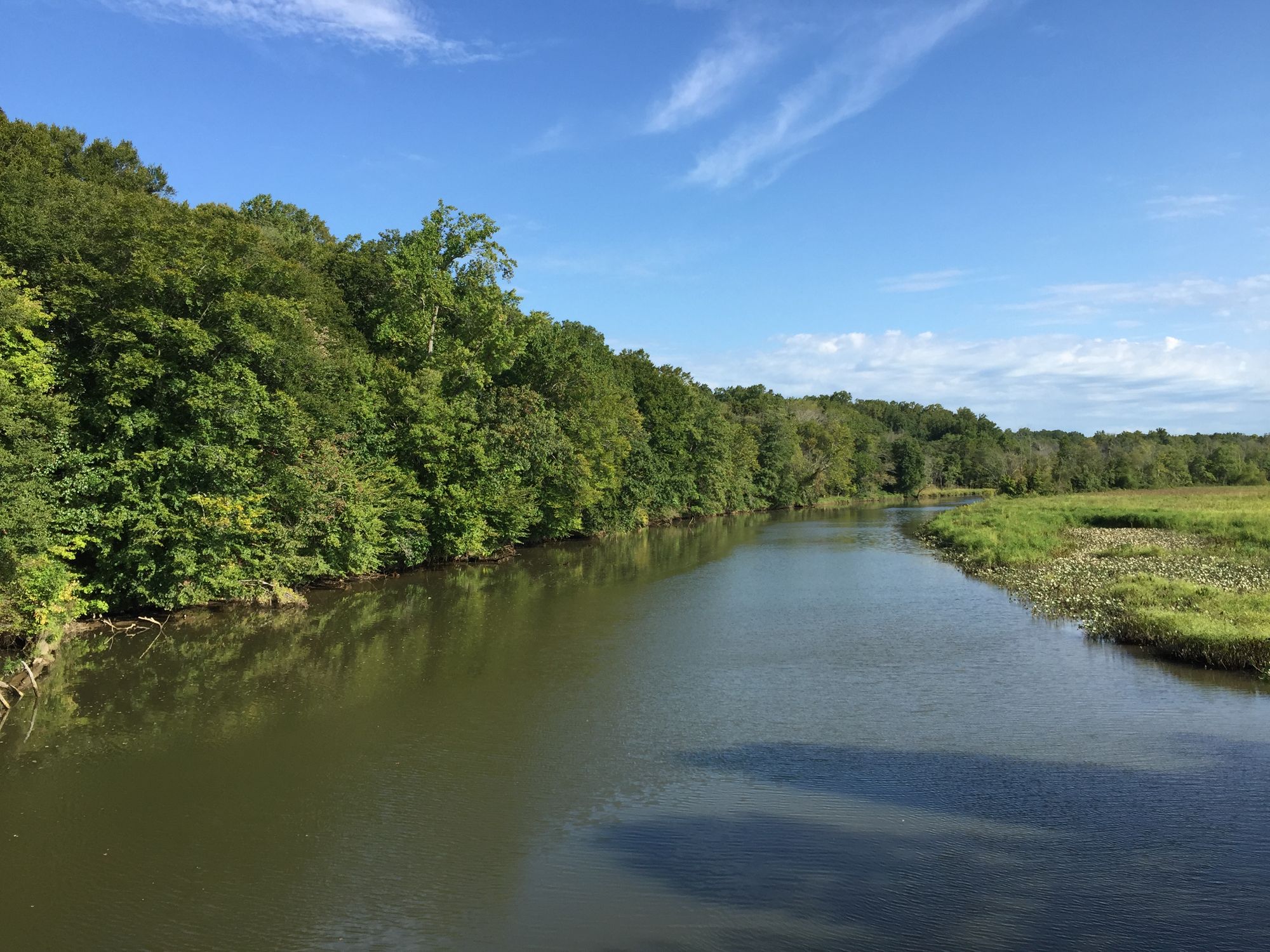
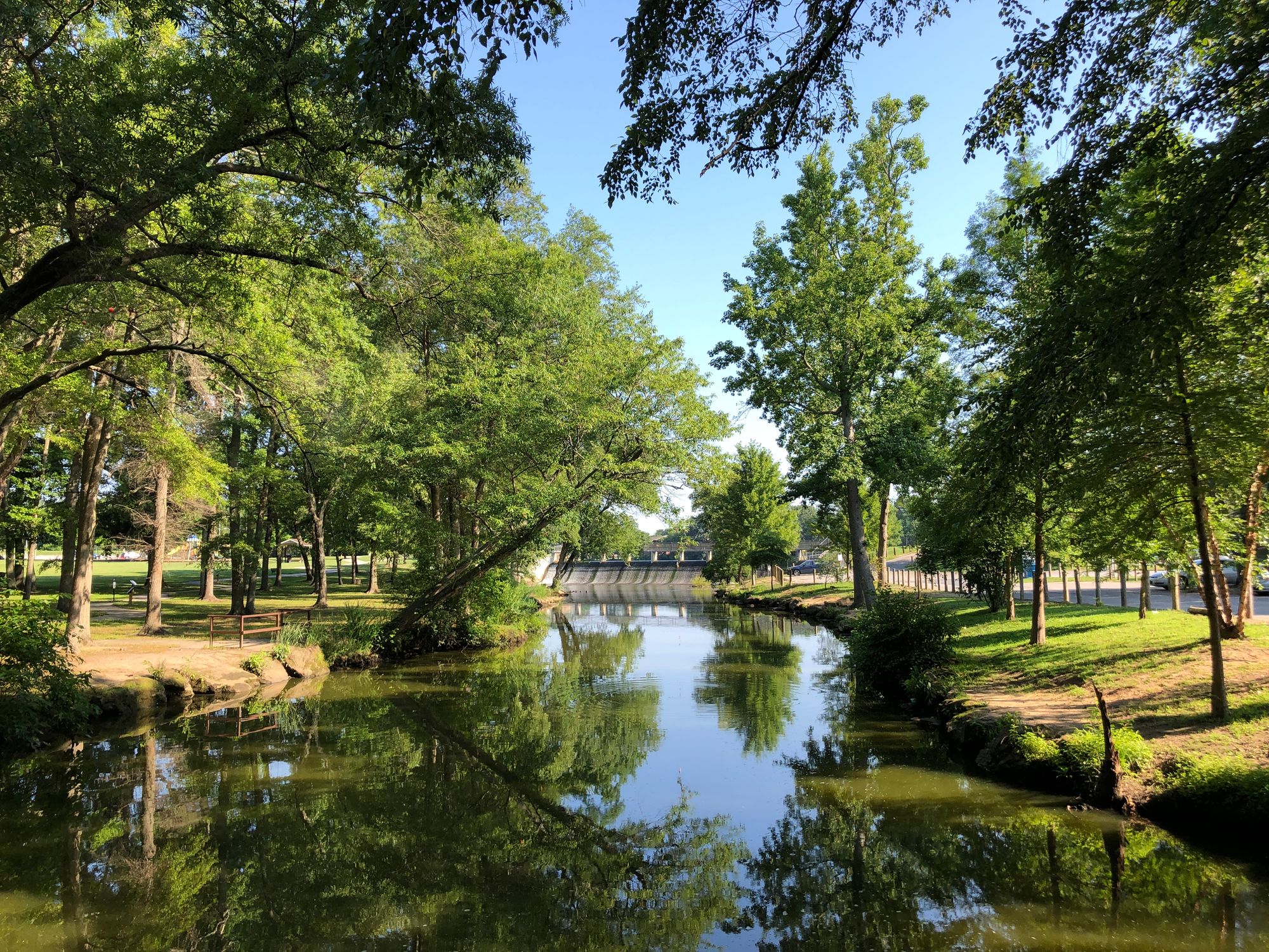
Marshyhope Creek is a scenic 37-mile tributary of the Nanticoke River, flowing through Delaware and Maryland's Eastern Shore. Originating near Adamsville, Delaware, it meanders southward through rural landscapes before joining the Nanticoke River near Sharptown, Maryland. The creek offers excellent paddling opportunities for kayakers and canoeists, with several distinct sections. The Upper Marshyhope in Delaware winds through hardwood forests for about 2 miles before opening into broader areas. The Lower Marshyhope in Maryland features diverse scenery as it flows through the Eastern Shore's characteristic wetlands and woodlands.
Marshyhope Creek is primarily a flatwater paddle, suitable for beginners to intermediate paddlers. However, its tidal nature can affect paddling conditions, so awareness of tides is crucial for trip planning. The creek is best paddled from spring through fall, with summer offering lush vegetation and fall providing colorful foliage.
The area is rich in wildlife, particularly birds. Paddlers can expect to see ospreys and bald eagles frequently, along with various waterfowl and wading birds. The surrounding forests and wetlands host diverse plant life typical of Delmarva's ecosystems.
Key landmarks include the historic town of Federalsburg, Maryland, where the Marshyhope Creek Greenway Trail offers additional recreational opportunities. The Idylwild Wildlife Management Area surrounds the creek's headwaters in Delaware, providing 4,000 acres of diverse habitat and 27 miles of trails.
Idylwild Wildlife Management Area in Delaware for the upper section, and the Federalsburg VFW Boat Ramp in Maryland for the lower section. Other access can be found near the Delaware-Maryland border and at various points along the creek's course.
Historically, the Marshyhope Creek played a role in the region's maritime commerce, with schooners once plying its waters. Today, it's valued for its natural beauty and recreational opportunities.
Safety considerations include being aware of tidal influences and potential submerged obstacles. Paddlers should check local regulations, especially regarding fishing and hunting seasons in adjacent wildlife management areas. For those interested in multi-day trips, it's possible to paddle the entire 37-mile length of Marshyhope Creek, potentially continuing onto the Nanticoke River for a longer adventure through the heart of Delmarva's waterways.
Curated routes
Hand-picked by the PaddleWays team, with put-ins, take-outs, paddle times and the hazards along the way.
RouteFlatwater
Hazards
No hazards are marked on Marshyhope Creek yet. That is not the same as none being there: if you find one, report it for the next paddler.
From the community
Nobody has shared a trip on Marshyhope Creek yet. Paddle it, then tell the next paddler how it went.
See exactly where the public can get on and off the river. Launch points and boat ramps are paired with PaddleWays' public land data so you know where you can legally land.
Public shoreline
0%of the river's shoreline is public
Most of the riverbank is private. Launch, land and camp only at public access points.
Flows, weather and a route-by-route verdict, so you know which stretch of the Marshyhope Creek is worth paddling today.
Live flows, marked hazards and fresh trip reports from paddlers who were just on the water, all in one place.





Every user gets free access to launch points, boat ramps, and public property parcels.


Loading popular cities...
PaddleWays gives you everything you need to plan smarter, paddle better, and own every trip from first launch to takeout.