Curated by PaddleWays
RouteClass I–II
- Distance
- 8.2 mi
- Paddle time
- ~2.5 hrs
- Best for
- Canoe
- Put-in → take-out
- Alderman's Ford Park → River Drive Access
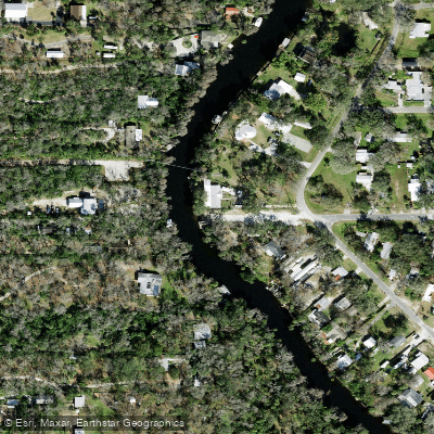
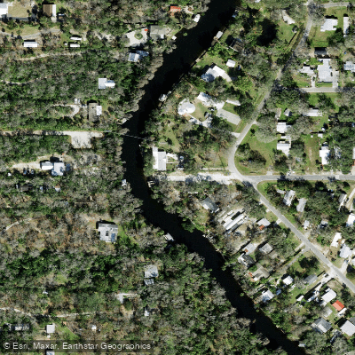
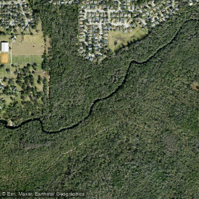
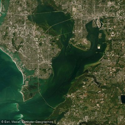
The Alafia River is a scenic 25-mile long waterway in Hillsborough County, Florida that flows westward into Tampa Bay. Its watershed covers 335 square miles and includes numerous lakes, streams, and springs. The river originates at the confluence of its North and South Prongs near Lithia, then winds through a mix of rural and suburban landscapes before emptying into Hillsborough Bay.
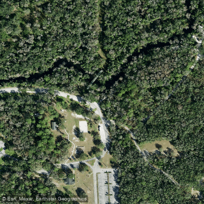
A popular 10-mile State Designated Paddling Trail runs from Alderman's Ford Park to Lithia Springs Conservation Park. This section offers paddlers a mix of flatwater paddling and occasional Class I-II rapids, depending on water levels. The Alafia is known for being relatively swift by central Florida standards, with small shoals exposed during low water periods. Paddling difficulty ranges from easy flatwater sections suitable for beginners to more challenging rapids requiring intermediate skills.
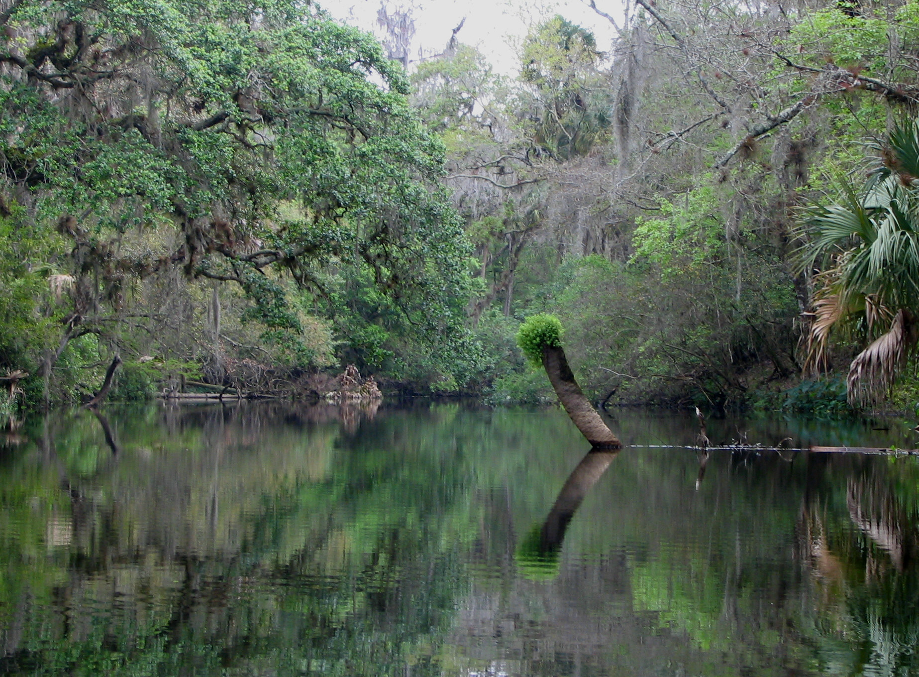
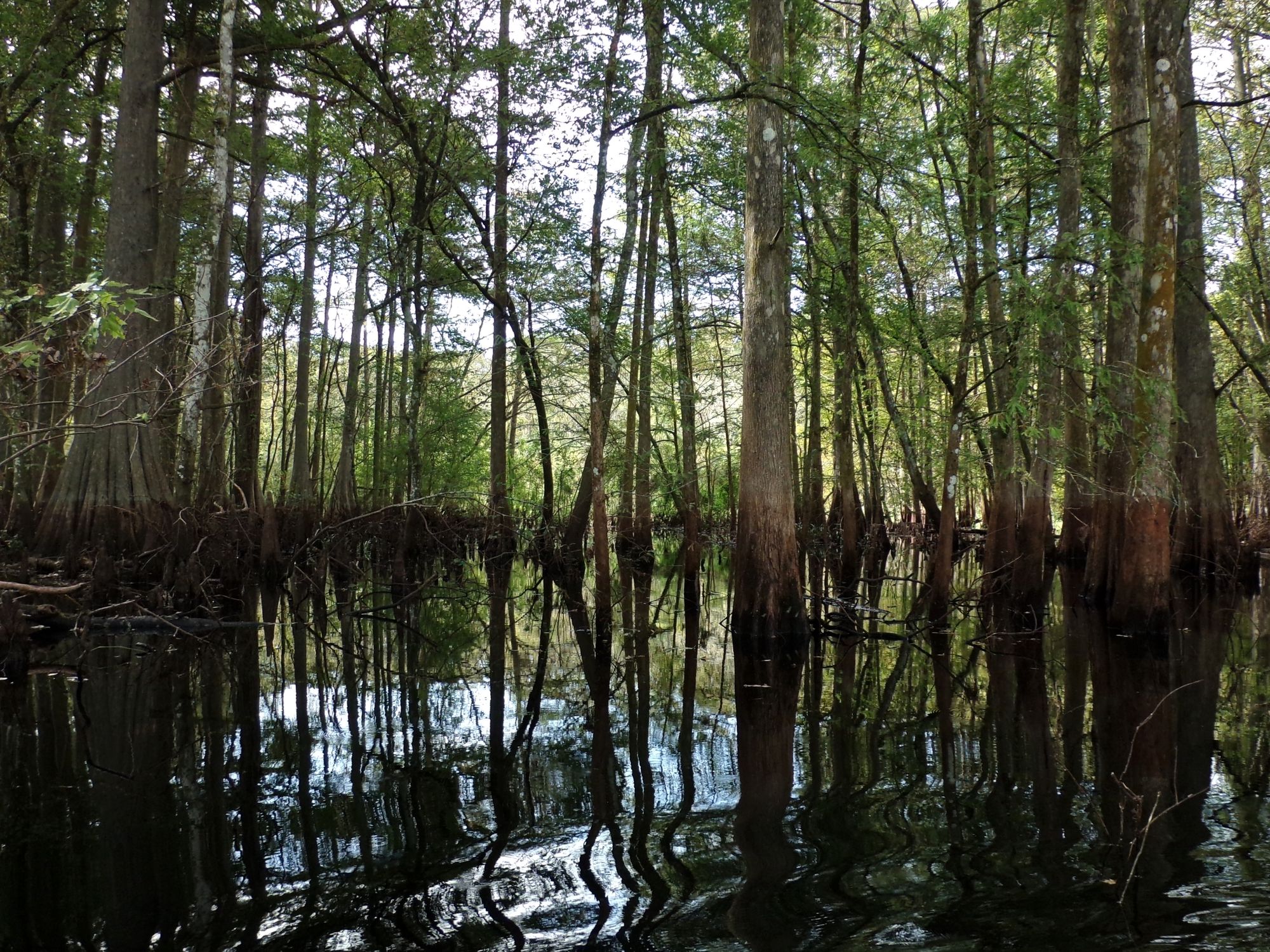
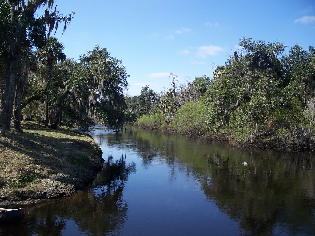
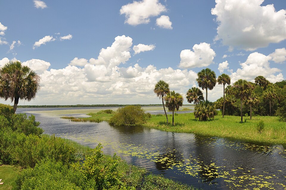
The river is typically paddled year-round, but spring and fall offer the most pleasant temperatures. Summer paddlers should be prepared for afternoon thunderstorms. The Alafia's banks are lined with cypress, oak, and palm trees, providing habitat for diverse wildlife. Paddlers may spot alligators, turtles, wading birds, and even the occasional river otter. The clear spring-fed waters near Lithia Springs are particularly scenic.
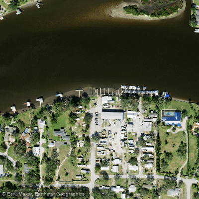
Key access points include Alderman's Ford Park, Lithia Springs Park, and Alafia River State Park. The nearby town of Lithia provides amenities, while the river is within easy reach of the Tampa Bay metro area. Historically, the river was home to Tocobaga Native Americans. Today, it remains an important recreational and ecological resource for the region.
Paddlers should be aware of occasionally swift currents, submerged obstacles, and proper etiquette at the parks. For multi-day trips, paddlers can combine the State Designated Trail with additional downstream sections, potentially camping at Alafia River State Park. However, most visitors opt for day trips on the upper stretches, with Lithia Springs serving as a popular starting point for upstream paddles.
Canoe and kayak rentals are available from outfitters like Alafia River Canoe Rentals, which also provides shuttle services. Whether tackling the full trail or enjoying a leisurely paddle from Lithia Springs, the Alafia River offers a slice of wild Florida just a short drive from Tampa.
Curated routes
Hand-picked by the PaddleWays team, with put-ins, take-outs, paddle times and the hazards along the way.
RouteClass I–II
RouteClass I–II
Hazards
No hazards are marked on Alafia River yet. That is not the same as none being there: if you find one, report it for the next paddler.
From the community
Nobody has shared a trip on Alafia River yet. Paddle it, then tell the next paddler how it went.
Nikki T. •
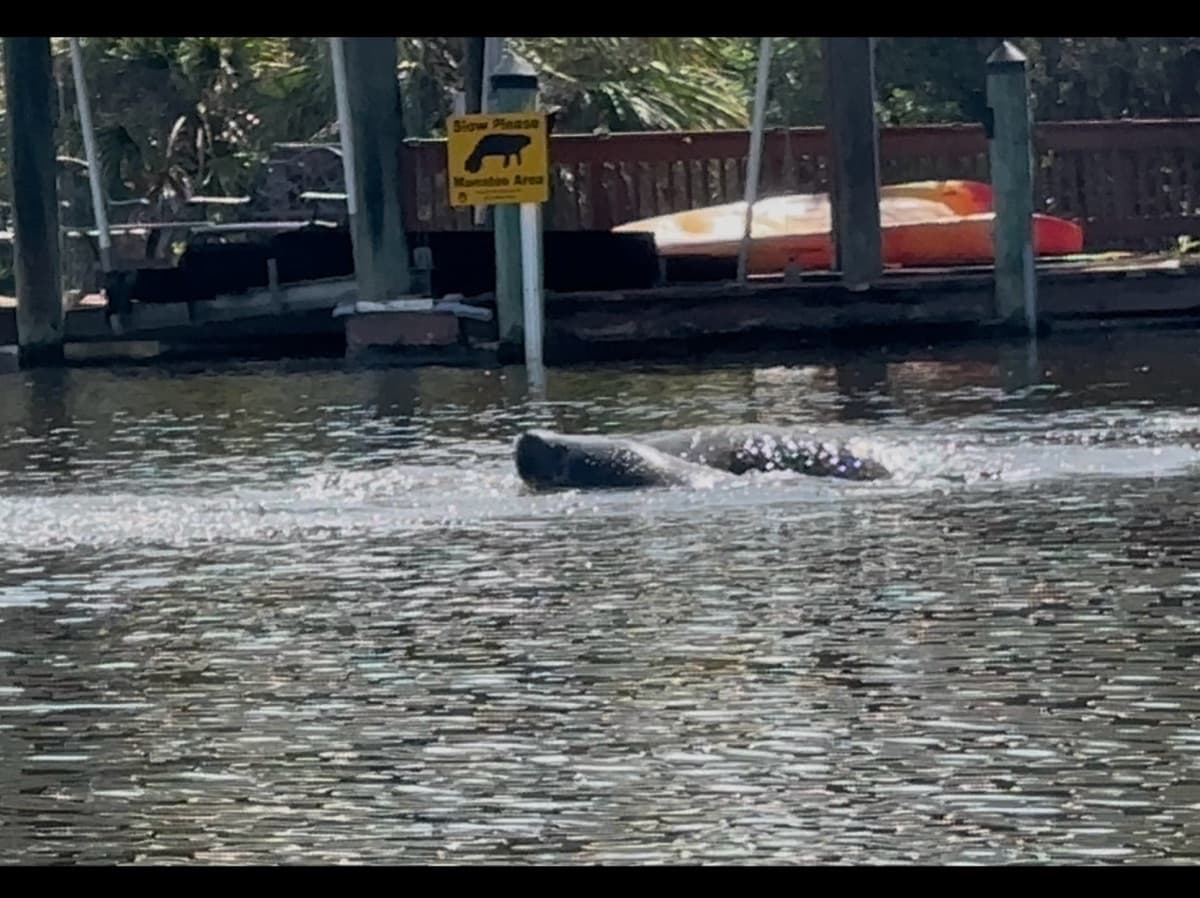
An aggregation of manatees was around me today! This is a still of a video, there were 4-6 of them in this little snip of a video! (This is around Beer Shed)
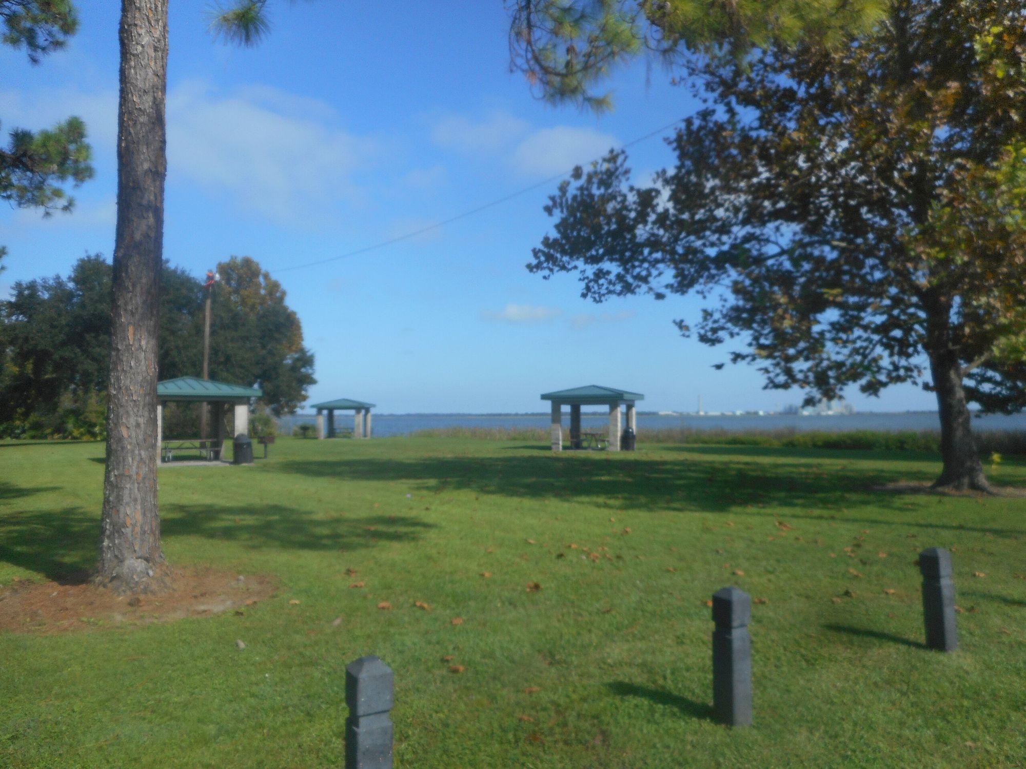
See exactly where the public can get on and off the river. Launch points and boat ramps are paired with PaddleWays' public land data so you know where you can legally land.
Public shoreline
40%of the river's shoreline is public
Most of the riverbank is private. Launch, land and camp only at public access points.
Flows, weather and a route-by-route verdict, so you know which stretch of the Alafia River is worth paddling today.
All Flow Stations
Live flows, marked hazards and fresh trip reports from paddlers who were just on the water, all in one place.





Every user gets free access to launch points, boat ramps, and public property parcels.
Loading popular cities...
PaddleWays gives you everything you need to plan smarter, paddle better, and own every trip from first launch to takeout.