Arlington Channel
- Saltwater
- Channel
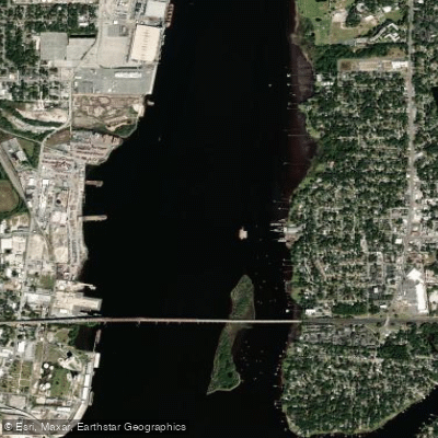
Arlington Channel
- Saltwater
- Channel
- Sq. miles
- 0.3
- Boat Ramps
- 0
- Access Points
- 0
- Campsites
- 0
Arlington Channel is a dredged channel leading west-northwest from the Mobile Bay Channel to a turning basin, bordering the Mobile Aeroplex at Brookley. It is a saltwater feature within a coastal salt marsh estuary near downtown Mobile, Alabama. The primary access point for paddlers is Arlington Park, located at 1705 S Broad St, Mobile, AL 36615. This park provides a public launch area suitable for canoes and kayaks, with one or two small piers for mooring small boats. The park is open from 5 AM to 9 PM daily and offers amenities including restrooms, shaded pavilions with electric plug-ins and water faucets, and a paved waterfront walkway that follows the channel. Paddlers should be aware of a Coast Guard restricted area within Arlington Channel adjacent to the U.S. Coast Guard Base Mobile; consult official navigational regulations for precise boundaries and restrictions. The water is being very shallow in areas near the park, with depth significantly influenced by the tide. Paddling during higher tide is generally recommended for better navigation. The channel provides a longer paddling excursion option, with the possibility to head south from the launch into the channel itself. The surrounding environment is a peaceful marine setting teeming with wildlife, though paddlers should be cautious of alligators in the water and use insect repellent due to bugs attracted to the wetlands. The area offers beautiful waterfront views of the salt marsh and is adjacent to a U.S. Coast Guard Station. Boat traffic is a consideration as it is a dredged channel, and paddlers share the water with larger vessels accessing the aeroplex and Coast Guard base.
Water access, boat ramps & amenities
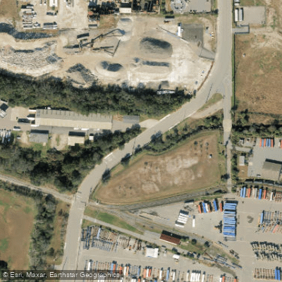
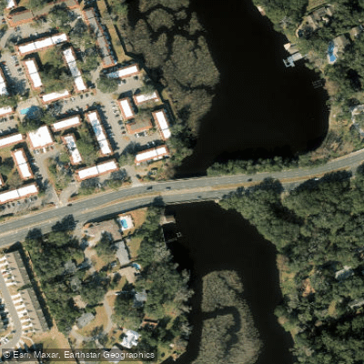
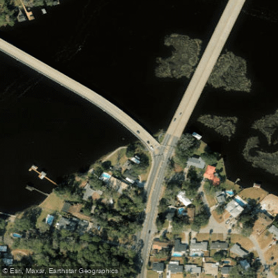
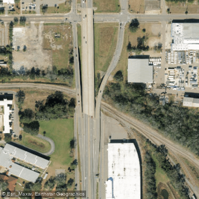
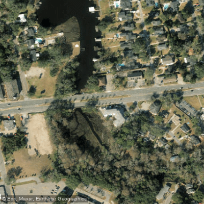
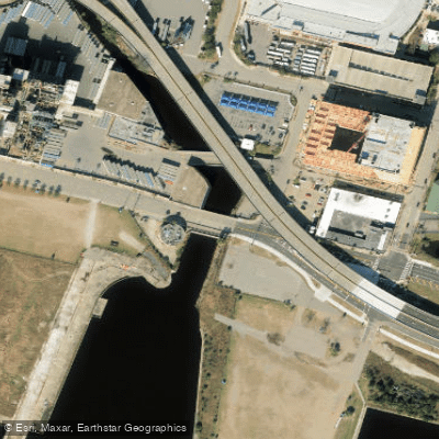
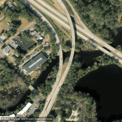
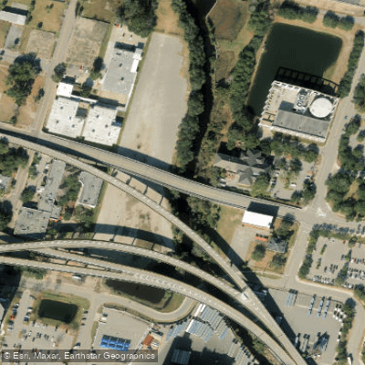
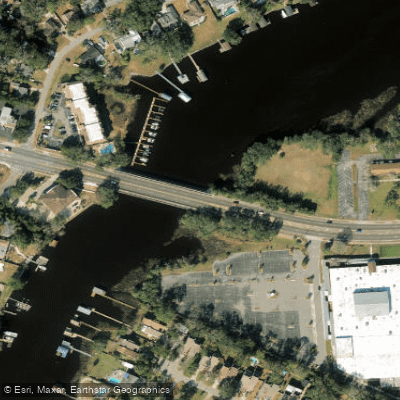
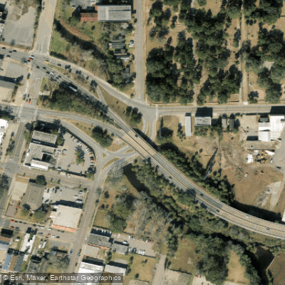
Learn how to get on Arlington Channel. Uncover great paddling access points, boat ramps, and all the facilities you need for an unforgettable day on the water. Some locations shown may border or include private property. Always check property boundaries and applicable regulations before visiting. PaddleWays's Public & Private Land layer can help you plan your access with confidence.
Paddle smarter with real-time insights
Whether you're en route and conditions shift or you're looking for the best spot based on current flows, we enable you to make informed decisions on the fly.








Find Places to Paddle

Over 400,000 Places to Paddle
Every user gets free access to launch points, boat ramps, and public property parcels.


Tides, wind & water conditions (10 day forecast)
On open water, wind and tide matter as much as the weather. See the best times to paddle Arlington Channel and check the marine forecast before you launch.
Loading tide predictions…
Paddling near Arlington Channel

Saint Johns River
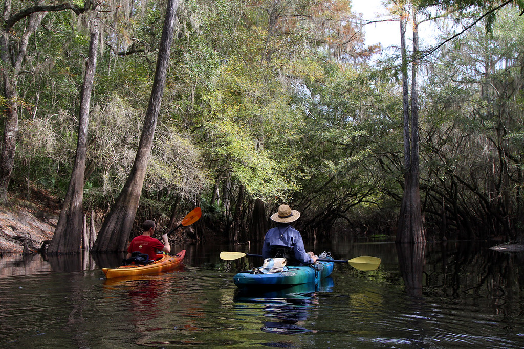
Santa Fe River
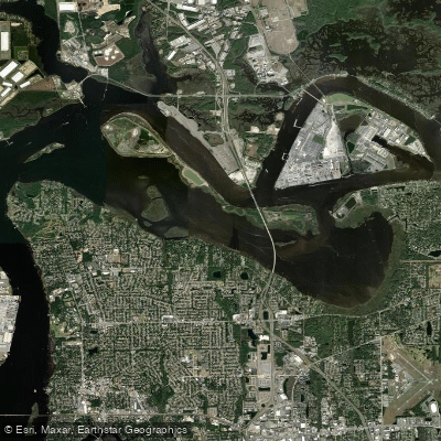
Mill Cove
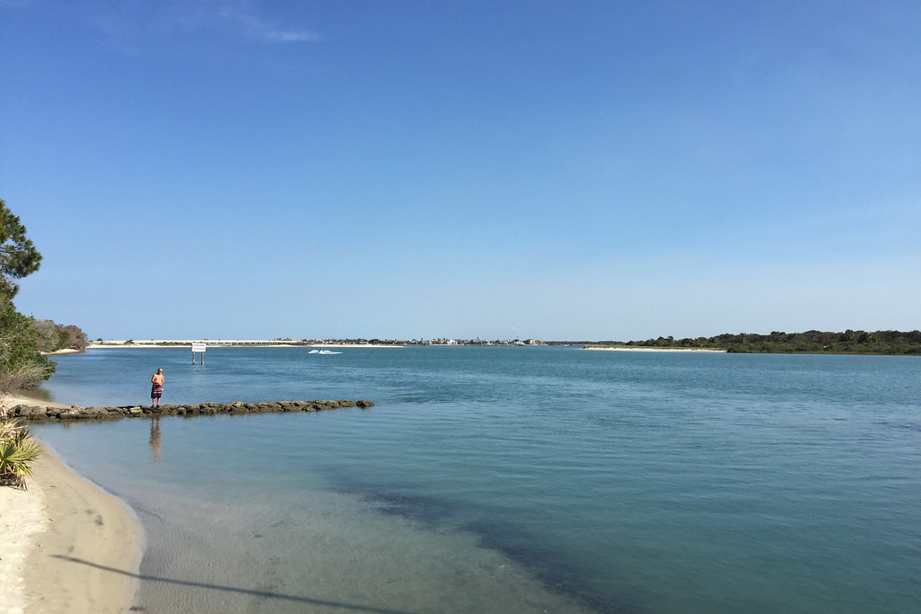
Matanzas River
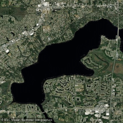
Doctors Lake
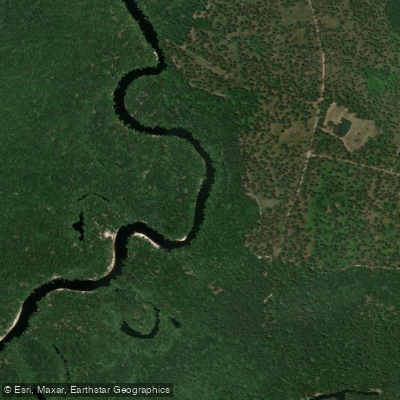
Saint Marys River
Intracoastal Waterway
Broward River
Nassau River
Explore Florida waters
Top paddling waters
Popular Cities
Loading popular cities...
Explore near Arlington Channel
Access points
Nearby waters
More in Florida

Smarter Paddling Starts in the App.
Paddleways gives you everything you need to plan smarter, paddle better, and own every trip from first launch to takeout.