Saint Marys River
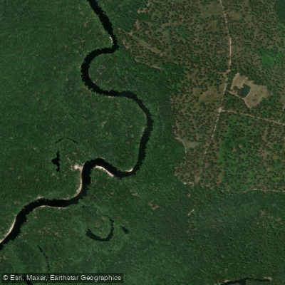
Saint Marys River
- Boat Ramps
- 11
- Access Points
- 11
- Campsites
- 8
The Saint Marys River is a scenic waterway that originates in the Okefenokee Swamp and flows approximately 126 miles eastward, forming much of the border between southeast Georgia and northeast Florida before emptying into the Atlantic Ocean. This blackwater river system drains a watershed of about 1,300 square miles.
Paddling opportunities on the Saint Marys range from multi-day wilderness trips to shorter day paddles. The river offers a variety of experiences, from narrow, twisting upper sections to wider, more leisurely lower stretches. The full river trip from the Okefenokee to St. Marys, Georgia covers about 72.4 miles and typically takes 3-4 days. Popular shorter sections include the 30-mile stretch from St. George to Traders Hill and the 12-mile segment from Traders Hill to Scotts Landing.
The Saint Marys is primarily a flatwater paddling experience suitable for beginners to intermediate paddlers. However, low water levels can create challenges with sandbars and snags, particularly in the upper reaches near Macclenny. Paddlers should check water levels before trips, as flows below 2 feet at the Macclenny gauge can make navigation difficult.
Spring and fall offer ideal paddling conditions with moderate temperatures and water levels. Summer can be hot and buggy, while winter provides solitude but requires cold-weather gear.
The river's ecosystem supports diverse wildlife, including alligators, river otters, and numerous bird species. Paddlers may encounter white sandbars, limestone bluffs, and cypress-lined banks.
Key access points include: - Okefenokee Swamp (put-in for full river trips) - St. George area, GA - Traders Hill Recreation Area, GA (N: 30.7831 W: -82.0240) - Scotts Landing/St. Marys River Fish Camp, FL (N: 30.7839 W: -81.9701)
The river holds historical significance as a transportation route and border between Spanish Florida and British Georgia. Today, it offers a glimpse into the natural beauty of the region, with much of its course remaining undeveloped.
For multi-day trips, primitive camping is available at designated sites, including two locations at N: 30.8014 W: -81.9613 and N: 30.8178 W: -81.9636. Paddlers should be prepared for remote conditions, bring ample supplies, and practice Leave No Trace principles.
Safety considerations include checking water levels, being aware of weather conditions, and watching for submerged obstacles. Paddlers should also be mindful of the river's remoteness in many sections and plan accordingly.
The Saint Marys River provides a unique opportunity to explore the natural border between two states, offering paddlers a chance to immerse themselves in the rich ecosystems and history of the Southeast's coastal plain.
Water access, boat ramps & amenities
Learn how to get on Saint Marys River. Uncover great paddling access points, boat ramps, and all the facilities you need for an unforgettable day on the water. Some locations shown may border or include private property. Always check property boundaries and applicable regulations before visiting. PaddleWays's Public & Private Land layer can help you plan your access with confidence.
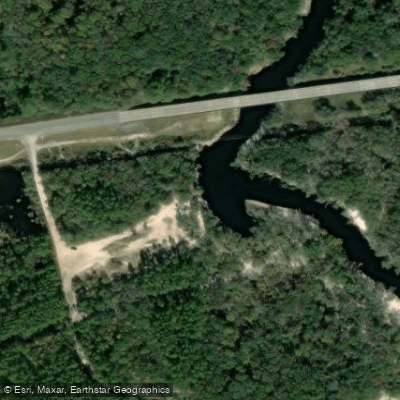
State Highway 94 Boat Ramp
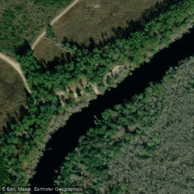
Camp Pinckney Landing Boat Ramp
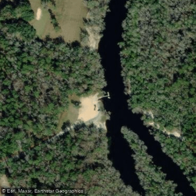
Traders Hill Boat Ramp
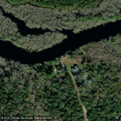
Prospect Landing Boat Ramp
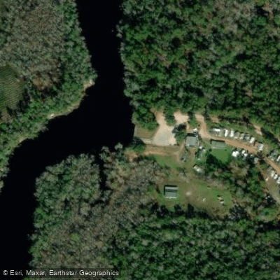
Walker Landing Boat Ramp
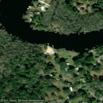
Kings Ferry Boat Ramp
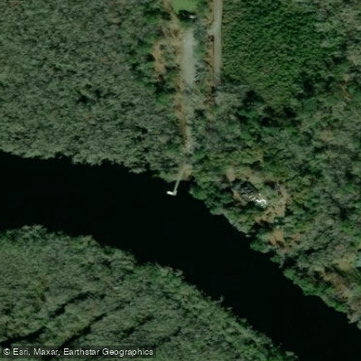
Temple Landing Boat Ramp
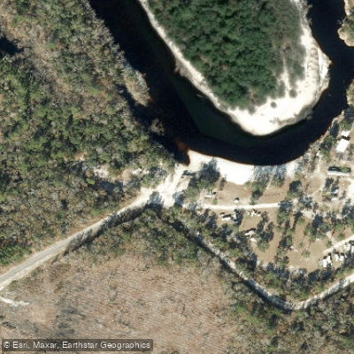
Steel Bridge Road Boat Ramp
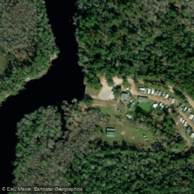
Walker Landing (aka. Scott's Landing)
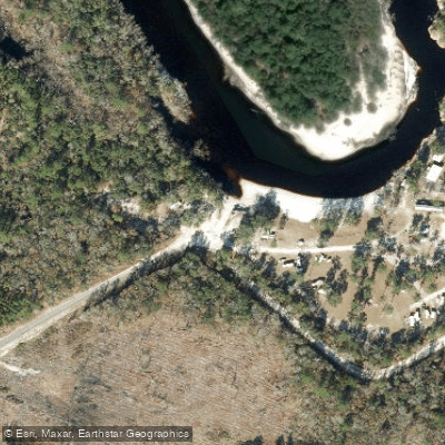
St. Mary's Cove Public Boat Ramp (Steel Bridge Road)
Paddle smarter with real-time insights
Whether you're en route and conditions shift or you're looking for the best spot based on current flows, we enable you to make informed decisions on the fly.








Find Places to Paddle

Over 400,000 Places to Paddle
Every user gets free access to launch points, boat ramps, and public property parcels.


Water and weather conditions (10 day forecast)
See the best times to paddle Saint Marys River and check the forecast before you go.
ST MARYS RIVER AT FERRY LANDING NEAR FOLKSTON, GA
All Flow Stations
Paddling near Saint Marys River
Suwannee River

Saint Johns River
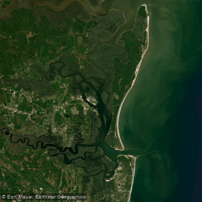
Cumberland Sound
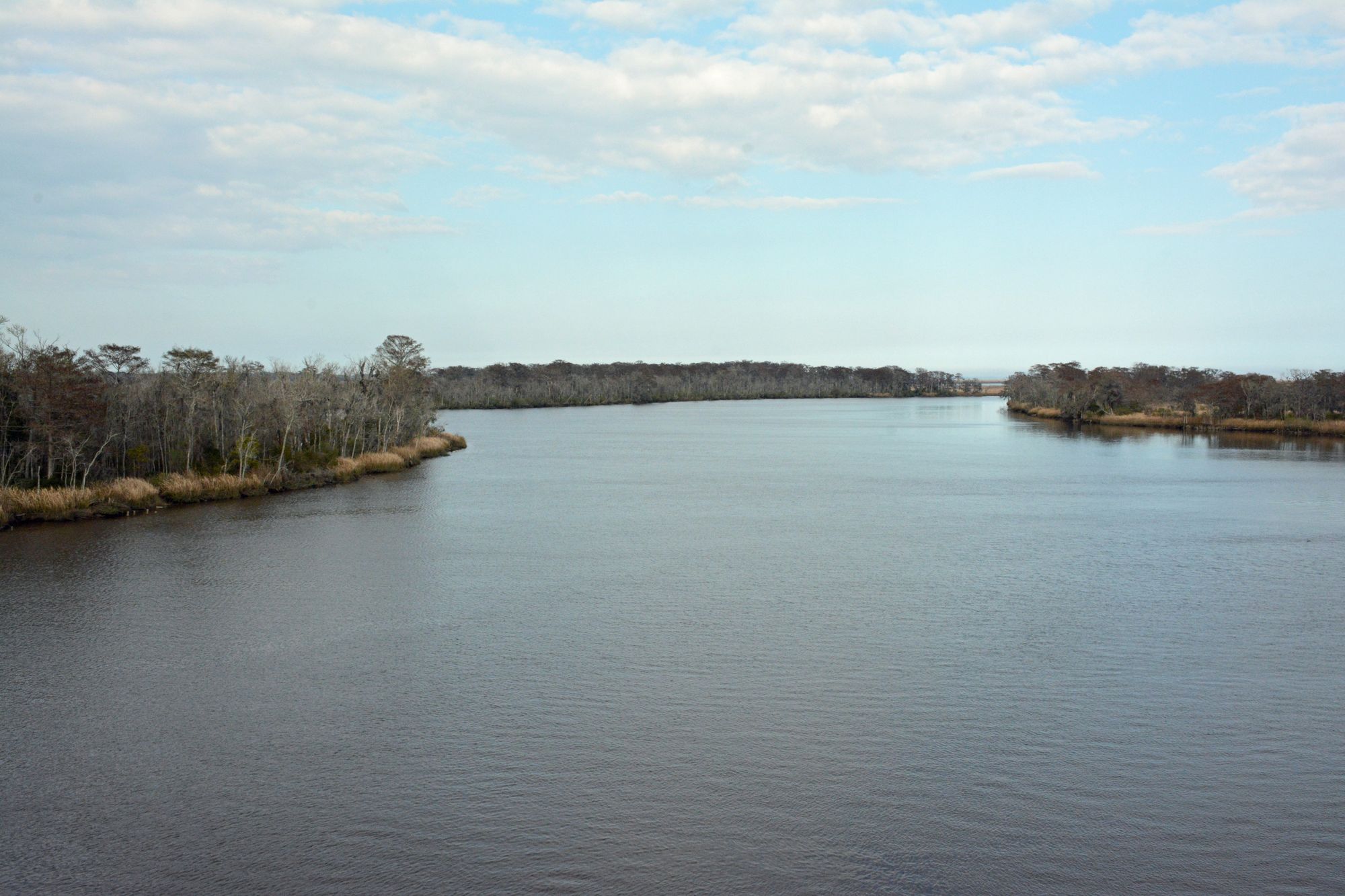
Altamaha River
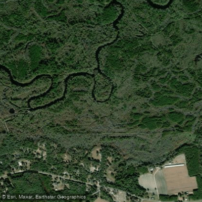
Satilla River
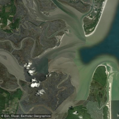
Saint Andrew Sound
Billys Lake
Jekyll Sound
Perch Lake
Explore Florida waters
Top paddling waters
Popular Cities
Loading popular cities...
Explore near Saint Marys River
Access points
- State Highway 94 Boat Ramp
- Camp Pinckney Landing Boat Ramp
- Traders Hill Boat Ramp
- Prospect Landing Boat Ramp
- Walker Landing Boat Ramp
- Kings Ferry Boat Ramp
- Temple Landing Boat Ramp
- Steel Bridge Road Boat Ramp
- Walker Landing (aka. Scott's Landing)
- St. Mary's Cove Public Boat Ramp (Steel Bridge Road)
- St. Marys River Boat Ramp
- N Prong St Marys Riv O/f Bridge
- All 103 spots
Nearby waters
More in Florida

Smarter Paddling Starts in the App.
Paddleways gives you everything you need to plan smarter, paddle better, and own every trip from first launch to takeout.