Broward River
- Saltwater
- Tidal river
Broward River
- Saltwater
- Tidal river
- Sq. miles
- 0.8
- Boat Ramps
- 0
- Access Points
- 0
- Campsites
- 0
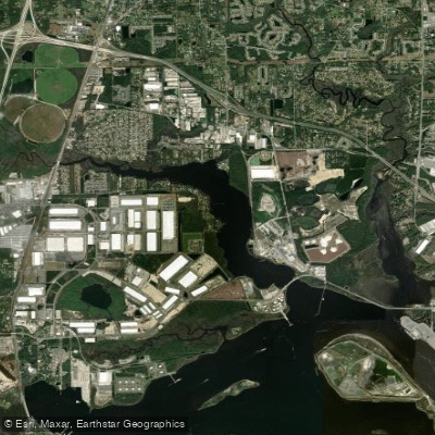
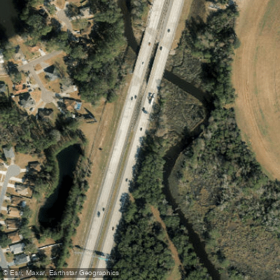
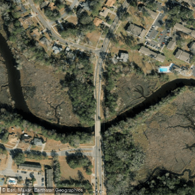
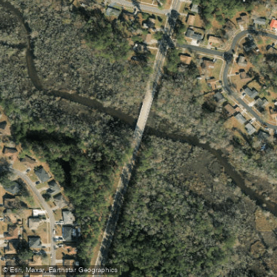
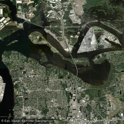
The Broward River is a tidal river in north Jacksonville, Florida, flowing into the St. Johns River. It is a saltwater feature with a significant tidal influence, experiencing a typical range of about two and a half feet. The water drains and fills dramatically with the tide, transforming from an expansive, lake-like body over a mile wide in places to a shallow mudflat. Paddlers must plan trips carefully around the tide cycle, as low tide reveals extensive mudflats with a soft, pudding-like consistency that can be hazardous. The river's current direction reverses with the tide, and the timing of high and low water varies with the lunar phase, season, and wind. The lower section of the river is noted as a very long paddle suitable only for more experienced paddlers. The river widens into a broad, crescent-shaped area near its confluence with the St. Johns, with the opposite shore over half a mile away in places, offering significant wind exposure and fetch. Upstream, it narrows into sprawling, impenetrable sawgrass marshes. A primary access point for paddlers is at or near Biscayne Boulevard, and the Reddie Point Preserve boat ramp, featuring a kayak launch and parking, is located nearby on the St. Johns River, providing access to the Broward. The water is brackish to saline, and alligators are present, though their numbers are influenced by salinity levels. Historically, the area near the mouth was home to a pulp mill. The river's aesthetic is characterized by a mix of live oaks, pines, and palm trees along its banks, with water color described as stained, similar to tea.
Water access, boat ramps & amenities
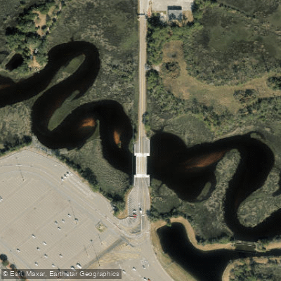
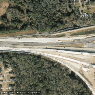
Learn how to get on Broward River. Uncover great paddling access points, boat ramps, and all the facilities you need for an unforgettable day on the water. Some locations shown may border or include private property. Always check property boundaries and applicable regulations before visiting. PaddleWays's Public & Private Land layer can help you plan your access with confidence.
Paddle smarter with real-time insights
Whether you're en route and conditions shift or you're looking for the best spot based on current flows, we enable you to make informed decisions on the fly.








Find Places to Paddle

Over 400,000 Places to Paddle
Every user gets free access to launch points, boat ramps, and public property parcels.


Tides, wind & water conditions (10 day forecast)
On open water, wind and tide matter as much as the weather. See the best times to paddle Broward River and check the marine forecast before you launch.
Loading tide predictions…
Paddling near Broward River

Saint Johns River
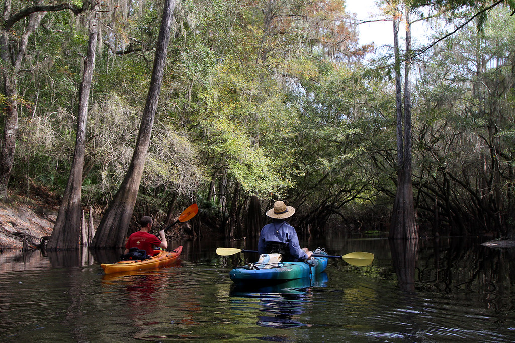
Santa Fe River
Mill Cove
Matanzas River
Doctors Lake
Arlington Channel
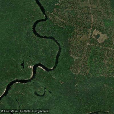
Saint Marys River
Intracoastal Waterway
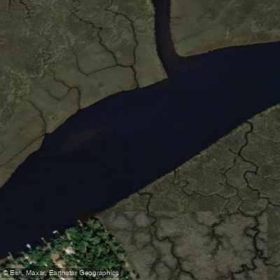
Nassau River
Explore Florida waters
Top paddling waters
Popular Cities
Loading popular cities...
Explore near Broward River
Access points
Nearby waters
More in Florida

Smarter Paddling Starts in the App.
Paddleways gives you everything you need to plan smarter, paddle better, and own every trip from first launch to takeout.