Nassau River
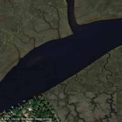
Nassau River
- Boat Ramps
- 4
- Access Points
- 4
- Campsites
- 3
The Nassau River is a coastal waterway in northeastern Florida, originating just west of Interstate 95 and flowing eastward to empty into the Atlantic Ocean at Nassau Sound. This tidal river forms part of the boundary between Duval and Nassau counties, winding through marshlands and coastal ecosystems as it approaches the sea.
Paddling on the Nassau River system is best experienced in its lower reaches and connected waterways near the coast. Simpson Creek, a major tributary, offers popular routes for kayakers and canoeists. The Northern Half Simpson Creek Trail begins at Kayak Amelia and travels 3.6 miles north to Nassau Sound, passing along the southeastern shore of Big Talbot Island State Park. The Southern Half Simpson Creek Trail covers the same distance heading south from Kayak Amelia to the confluence with Fort George River.
These paddling sections are rated as flatwater, suitable for novice paddlers. The waterways are tidal, with trips best timed to coincide with outgoing tides for easier paddling. Spring and fall offer ideal weather conditions, though summer paddles are popular for wildlife viewing.
The ecosystem supports a diverse array of flora and fauna. Paddlers may encounter dolphins, sharks, and various shorebirds, particularly at low tide when smaller fish concentrate in the channels. The shorelines feature oyster beds, marsh grasses, and coastal hammock vegetation.
Key landmarks include Big Talbot Island and Little Talbot Island State Parks, which preserve pristine barrier island habitats. Bird Island in Nassau Sound provides an important rookery. The Timucuan Ecological and Historic Preserve encompasses much of the area, protecting both natural and cultural resources.
Primary access points include Kayak Amelia on Simpson Creek and the Alimacani Ramp at Huguenot Memorial Park. These launch sites are located near Jacksonville, the largest nearby city.
The Nassau River and its surrounding areas hold significant historical importance, having been home to Native American tribes and later playing a role in early European settlement and maritime trade.
Paddlers should be aware of tidal fluctuations, which can dramatically affect water levels and currents. Weather conditions can change quickly in this coastal environment, so checking forecasts and being prepared for wind and potential thunderstorms is essential. While primarily suited for day trips, the network of waterways in the Nassau River system could potentially support multi-day adventures for experienced paddlers willing to carefully plan around tides and camping options in the state parks.
Water access, boat ramps & amenities
Learn how to get on Nassau River. Uncover great paddling access points, boat ramps, and all the facilities you need for an unforgettable day on the water. Some locations shown may border or include private property. Always check property boundaries and applicable regulations before visiting. PaddleWays's Public & Private Land layer can help you plan your access with confidence.
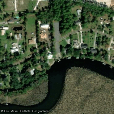
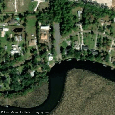
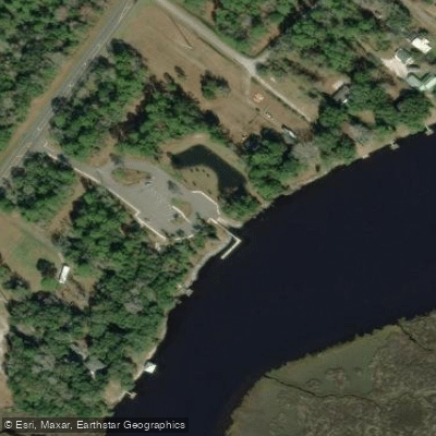
Paddle smarter with real-time insights
Whether you're en route and conditions shift or you're looking for the best spot based on current flows, we enable you to make informed decisions on the fly.








Find Places to Paddle

Over 400,000 Places to Paddle
Every user gets free access to launch points, boat ramps, and public property parcels.


Water and weather conditions (10 day forecast)
See the best times to paddle Nassau River and check the forecast before you go.
NASSAU RIVER NEAR TISONIA, FL
Paddling near Nassau River

Saint Johns River
Altamaha River
Cumberland Sound
Suwannee River
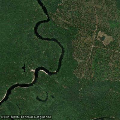
Saint Marys River
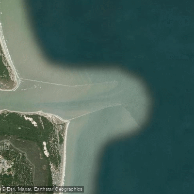
Saint Marys Entrance
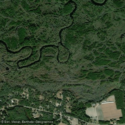
Satilla River
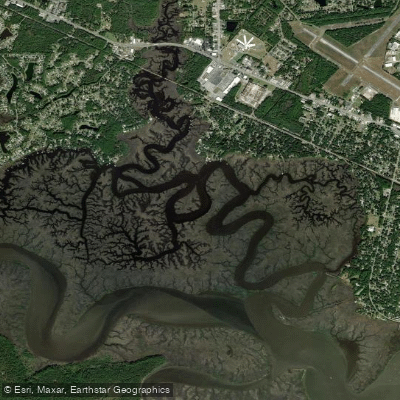
Burrells Creek
Crooked River
Explore Florida waters
Top paddling waters
Popular Cities
Loading popular cities...
Explore near Nassau River
Access points
- Nassau Landing (Edwards Road) Boat Ramp
- Nassau Landing (Edwards Road) Boat Ramp
- Half Moon Island Preserve Boat Ramp
- Reni's Redneck Yacht Club - Ramp Closed?
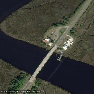
- Nassau River Bridge
- Nassau River Bridge
- St. Johns River Bridge
- Nassau Creek Bridge
- Inconstantion Creek Bridge
- Granddaddy Branch Bridge
- Plummer Creek Bridge
- Simpson Creek Bridge
- All 25 spots
Nearby waters
More in Florida

Smarter Paddling Starts in the App.
Paddleways gives you everything you need to plan smarter, paddle better, and own every trip from first launch to takeout.