Black Creek Canal C-1
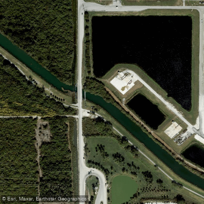
Black Creek Canal C-1
- Boat Ramps
- 3
- Access Points
- 3
- Campsites
- 1
Black Creek Canal C-1 is a man-made freshwater canal system in Miami-Dade County, Florida, developed in the mid-1990s as part of the region's extensive flood control infrastructure. The canal divides into two main sections—C-1N and C-1W—with the C-1W section extending approximately 13.4 miles through southwest Miami's suburban landscape. Maintaining depths between 6 and 8 feet, this engineered waterway flows through the neighborhoods of The Hammocks, Country Walk, and Richmond West, situated near the communities of Cutler Ridge, South Allapattah, and Princeton.
The primary paddling route covers 8.3 miles from Krome Avenue at SW 112th Street to the Black Creek/C1 Upper Canal at 137th Avenue, requiring approximately four hours to complete. This flatwater course serves as an exceptional training ground for distance paddlers seeking protected waters without obstructions or portages. The canal's below-grade construction creates a unique paddling environment where grass banks dominate the immediate view, though a railroad bridge at the northern end provides expansive vistas across surrounding farmlands. The straight, unobstructed sections make this an ideal venue for building endurance and practicing efficient paddling technique.
Access requires careful navigation of local roads. The put-in at Krome Avenue involves driving down a grass path to the railroad tracks, while the takeout just south of SW 184th Street utilizes a canal road entrance designated for authorized vehicles, with limited parking for one or two cars. Paddlers should possess intermediate skills and self-sufficiency, as the canal's linear nature and suburban setting offer few natural rest areas or emergency exit points.
In 1984, the Florida Fish and Wildlife Conservation Commission enhanced the canal's recreational value by stocking it with peacock bass, establishing Black Creek Canal C-1 as a popular urban fishery. Today, anglers frequent these waters for diverse exotic species, adding another dimension to the canal's recreational offerings. The waterway maintains a consistent elevation of approximately 3 feet above sea level throughout its length.
Paddlers should prepare for Florida's coastal hazards, including shifting weather patterns and intense sun exposure on the exposed canal. The lack of natural shade along most of the route necessitates sun protection and adequate hydration. Personal flotation devices remain mandatory, and paddlers should file float plans before departure. The canal's urban setting provides easy access to emergency services but offers little natural scenery compared to Florida's wilderness waterways, making it primarily suited for fitness-focused paddling rather than nature observation.
Water access, boat ramps & amenities
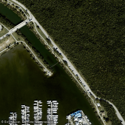
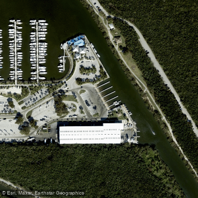
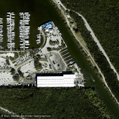
Learn how to get on Black Creek Canal C-1. Uncover great paddling access points, boat ramps, and all the facilities you need for an unforgettable day on the water. Some locations shown may border or include private property. Always check property boundaries and applicable regulations before visiting. PaddleWays's Public & Private Land layer can help you plan your access with confidence.
Paddle smarter with real-time insights
Whether you're en route and conditions shift or you're looking for the best spot based on current flows, we enable you to make informed decisions on the fly.








Find Places to Paddle

Over 400,000 Places to Paddle
Every user gets free access to launch points, boat ramps, and public property parcels.


Water and weather conditions (10 day forecast)
See the best times to paddle Black Creek Canal C-1 and check the forecast before you go.
10B BLACK CR CANAL AT OLD CUTLER RD NR GOU
All Flow Stations
Explore Florida waters
Top paddling waters
Popular Cities
Loading popular cities...
Explore near Black Creek Canal C-1
Access points
- Black Point Park - Canoe/Kayak Access
- Black Point Park - Boat Ramp
- Black Point Marina and Park Boat Ramp
- Black Creek Bridge
- Black Creek Canal Bridge
- Black Creek Canal Bridge
- Black Creek Canal C-1-n Bridge
- Bel Aire Canal C-1-n Bridge
- Black Creek Canal C-1-n Bridge
- Black Creek Canal Bridge
- Bel Aire Canal C-1-n Bridge
- Black Creek Canal C-1w Bridge
- All 16 spots
More in Florida

Smarter Paddling Starts in the App.
Paddleways gives you everything you need to plan smarter, paddle better, and own every trip from first launch to takeout.