Caesar Creek Bank
- Saltwater
- Tidal creek
Caesar Creek Bank
- Saltwater
- Tidal creek
- Sq. miles
- 0.9
- Boat Ramps
- 0
- Access Points
- 0
- Campsites
- 1
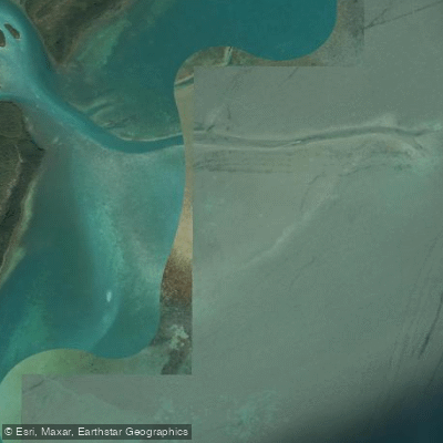
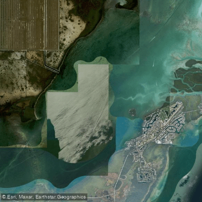
Caesar Creek Bank is a large, shallow shoal located within Biscayne National Park, south of Caesar Creek and east of Islandia. It is situated on the west side of Hawk Channel, a marked intracoastal waterway, between Margot Fish Shoal and the bank itself. The area is a bar or shoal, with depths ranging from 0 to 12 feet, creating extensive shallows. This is a coastal saltwater environment influenced by tides and exposed to the open ocean through Hawk Channel. The primary paddling access is via Caesar Creek, just north of the bank, which is marked by a light and private daybeacons and offers an anchorage for small craft with a reported depth of 6 feet at the entrance. The Caesar Creek Bank Anchorage, located southwestward of the bank, is fair in all but southerly winds, indicating that winds from the south can create hazardous conditions due to increased fetch and wave action across the shoal. The bank itself is part of a northern shoal complex where most vessel groundings within the park occur, highlighting the need for careful navigation in shallow water. The area is capped by vibrant seagrass and coral-algal fringe communities. Biscayne National Park has proposed designating Caesar Creek Bank as a noncombustion engine use zone, which would limit the speed and type of motorboats, potentially reducing boat traffic and creating a quieter experience for paddlers. The surrounding area includes several islands such as Old Rhodes Key, Totten Key, and Elliott Key. Given its location in Hawk Channel, paddlers must be prepared for potential boat traffic, especially from vessels using the marked channel. Tidal currents are a significant factor, and paddlers should plan trips to work with the tidal flow, particularly when navigating the entrance to Caesar Creek. The exposed nature of the bank means wind and wave conditions can change rapidly, and short wave periods have been noted, which can make for a choppy, challenging paddle. There are no specific facilities for paddlers mentioned at the launch point itself.
Water access, boat ramps & amenities
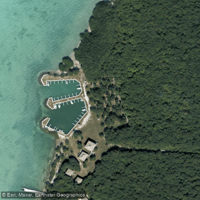
Learn how to get on Caesar Creek Bank. Uncover great paddling access points, boat ramps, and all the facilities you need for an unforgettable day on the water. Some locations shown may border or include private property. Always check property boundaries and applicable regulations before visiting. PaddleWays's Public & Private Land layer can help you plan your access with confidence.
Paddle smarter with real-time insights
Whether you're en route and conditions shift or you're looking for the best spot based on current flows, we enable you to make informed decisions on the fly.








Find Places to Paddle

Over 400,000 Places to Paddle
Every user gets free access to launch points, boat ramps, and public property parcels.


Tides, wind & water conditions (10 day forecast)
On open water, wind and tide matter as much as the weather. See the best times to paddle Caesar Creek Bank and check the marine forecast before you launch.
Loading tide predictions…
Explore Florida waters
Top paddling waters
Popular Cities
Loading popular cities...
Explore near Caesar Creek Bank
Access points
Nearby waters
More in Florida

Smarter Paddling Starts in the App.
Paddleways gives you everything you need to plan smarter, paddle better, and own every trip from first launch to takeout.