Caesar Creek
- Saltwater
- Tidal creek
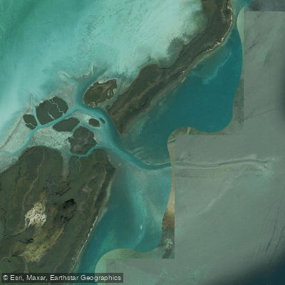
Caesar Creek
- Saltwater
- Tidal creek
- Sq. miles
- 1.2
- Boat Ramps
- 0
- Access Points
- 0
- Campsites
- 1
Caesar Creek Lake is a large, 2,830-acre reservoir in southwestern Ohio, located within Caesar Creek State Park near Waynesville. The lake's shape resembles a boa constrictor with a bulge, featuring over 40 miles of shoreline with numerous coves, standing trees, and stump areas. The water body is an unlimited horsepower lake, meaning paddlers should anticipate significant motorized boat traffic, particularly in the central, deeper sections. However, there are designated no-wake zones around the marina, public beach area, and the bridge under State Route 73, which offer some respite. For safety, paddlers are advised to plan trips during mornings or weekdays to avoid peak powerboat activity. The lake's depth varies considerably, averaging about 20 feet at the north end to over 100 feet near the dam on the south end, though water levels can be drawn down for maintenance, affecting access.
Multiple concrete boat ramps serve as primary access points, including locations off Compton Road at the north end, at the campground off Center Road, north of the public beach, off State Route 73 (Furnas Boat Ramp), and off Wellman Road. While designed for trailered boats, these ramps are available for kayak and canoe launching, often with nearby restroom facilities and parking. A dedicated hand-launch area suitable for kayaks and paddleboards exists in the middle of the lake near the main beach. The campground boat ramp requires a $5 visitor fee for non-campers. A unique floating kayak dock with rollers is available at the visitor center on the south side of the lake. Self-serve kayak rentals are offered via an automated kiosk at the park, providing single and tandem kayaks with paddles and PFDs.
The paddling experience offers diverse exploration opportunities away from the main boating channels. Accessible destinations include Pioneer Village, reachable by beaching a kayak on an old road bed; an island directly across from this village suitable for picnics; and a former Indian mound in the water that forms a small island. The shallow north end of the lake, near the former site of New Burlington, is less accessible to larger powerboats and can be reached via the campground launch. The lake is surrounded by extensive park trails, and the 1,300-foot public beach is a prominent landmark. The overall character is that of a large, multi-use reservoir where paddlers can find quieter, scenic areas in coves and along the wooded shoreline, but must remain vigilant for fast-moving boat traffic in open water.
Water access, boat ramps & amenities
Learn how to get on Caesar Creek. Uncover great paddling access points, boat ramps, and all the facilities you need for an unforgettable day on the water. Some locations shown may border or include private property. Always check property boundaries and applicable regulations before visiting. PaddleWays's Public & Private Land layer can help you plan your access with confidence.
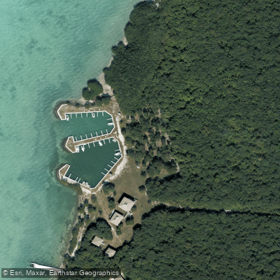
Paddle smarter with real-time insights
Whether you're en route and conditions shift or you're looking for the best spot based on current flows, we enable you to make informed decisions on the fly.








Find Places to Paddle

Over 400,000 Places to Paddle
Every user gets free access to launch points, boat ramps, and public property parcels.


Tides, wind & water conditions (10 day forecast)
On open water, wind and tide matter as much as the weather. See the best times to paddle Caesar Creek and check the marine forecast before you launch.
Loading tide predictions…
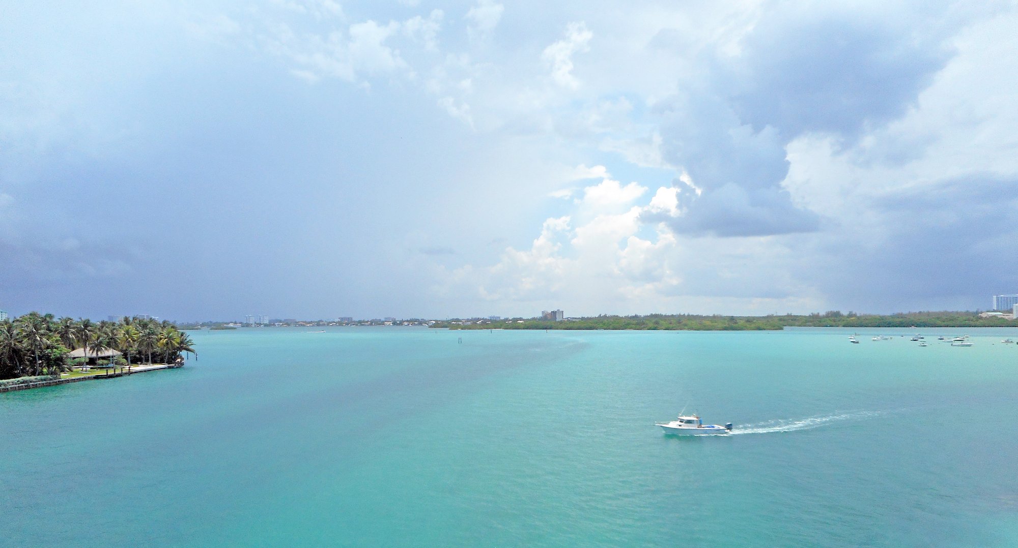
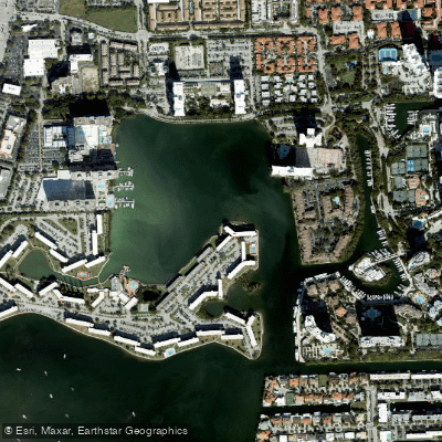
Explore Florida waters
Top paddling waters
Popular Cities
Loading popular cities...
Explore near Caesar Creek
Access points
More in Florida

Smarter Paddling Starts in the App.
Paddleways gives you everything you need to plan smarter, paddle better, and own every trip from first launch to takeout.