Choctawhatchee Bay
- Saltwater
- Bay
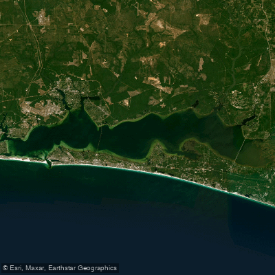
Choctawhatchee Bay
- Saltwater
- Bay
- Sq. miles
- 122
- Boat Ramps
- 26
- Access Points
- 0
- Campsites
- 12
Choctawhatchee Bay is a large, shallow estuary spanning approximately 129 square miles along Florida's Emerald Coast, situated between the mainland and barrier islands like Okaloosa Island. Its primary character for paddlers is one of protected, calm waters with gentle currents, making it highly suitable for kayakers and paddleboarders of all skill levels, including beginners and families. The bay's environment is sheltered from the open Gulf of Mexico, resulting in minimal wave action, though paddlers must be mindful of wind exposure across its expansive surface which can generate chop. Tidal influence is a key planning factor, with conditions described as tidal; it is recommended to time paddles around slack tide for the easiest conditions, and to be prepared for currents that can flow through its various channels and estuaries. A significant safety consideration is boat traffic, particularly near marinas, the Destin Marina area, and in narrow channels, requiring constant vigilance. The popular party destination of Crab Island, located in the bay near the Destin Pass, is an area of concentrated boat activity that paddlers may wish to avoid.
Several public access points provide launch and take-out facilities. Notable boat ramps include the North County Highway 393 Boat Launch near Santa Rosa Beach, which offers a free 24-hour launch with parking, a dock, and restrooms. The Destin Marina also provides a boat ramp access to the bay, though a fee may apply and public access should be confirmed. The bay's shoreline features numerous quiet coves, winding waterways, and marshlands that are ideal for exploration, with opportunities to paddle into areas like Cinco Bayou. Wildlife viewing is a major highlight, with common sightings of dolphins, manatees, sea turtles, stingrays, and a variety of birds including herons, egrets, pelicans, and ospreys. The water is generally warm, supporting year-round paddling, with sunrise and sunset trips offering particularly scenic conditions as the calm waters reflect the sky. While the bay itself is a saltwater feature, its estuarine nature where freshwater meets saltwater creates a thriving ecosystem. Paddlers should note that portions of the bay and connecting waterways, such as Basin Creek which flows into the bay, are located within the Eglin Air Force Base reservation. Access to these specific trails requires adherence to strict regulations, including a prohibition on pets and the presence of alligators in all Eglin waterways. For general bay paddling, no other specific restrictions are noted beyond standard safety practices and awareness of boat traffic and tides.
Water access, boat ramps & amenities
Learn how to get on Choctawhatchee Bay. Uncover great paddling access points, boat ramps, and all the facilities you need for an unforgettable day on the water. Some locations shown may border or include private property. Always check property boundaries and applicable regulations before visiting. PaddleWays's Public & Private Land layer can help you plan your access with confidence.
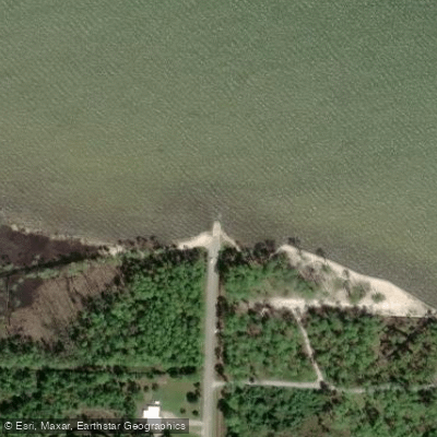
North County Highway 393 Boat Launch
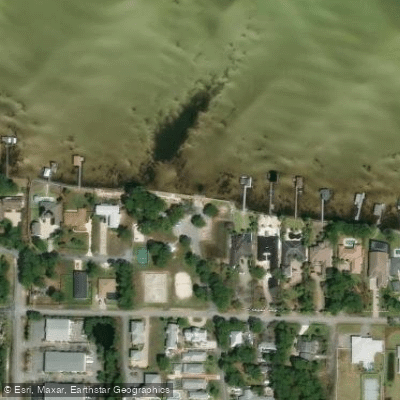
Legion Park Boat Ramp
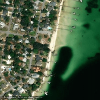
Garnier's Beach Park (No Parking for Trailers - Small Boats Only)
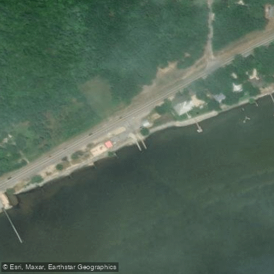
Choctaw Beach Park Boat Ramp
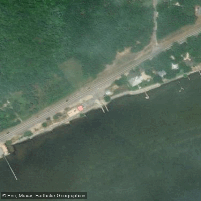
Choctaw Beach Park Public Boat Launch
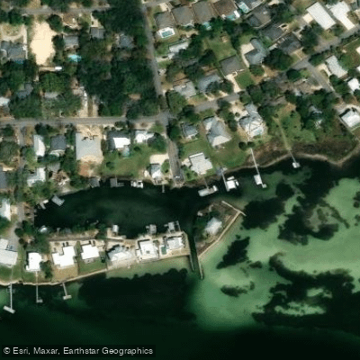
Walkedge Boat Ramp
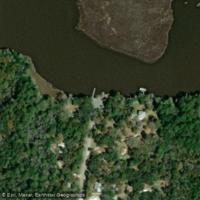
Point Washington Boat Ramp
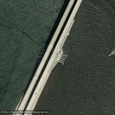
US Highway 331 Causeway #4 Boat Ramp
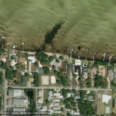
Legion Park Public Boat Ramp
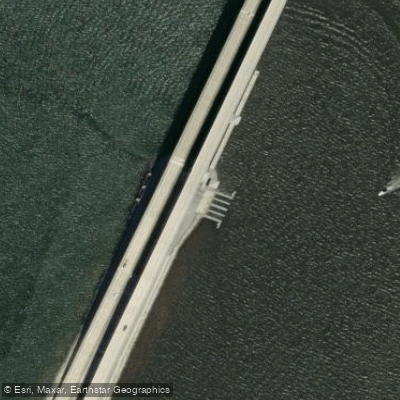
Thomas Pilcher Park on the Clyde B. Wells Bridge - Boat Ramp
Paddle smarter with real-time insights
Whether you're en route and conditions shift or you're looking for the best spot based on current flows, we enable you to make informed decisions on the fly.








Find Places to Paddle

Over 400,000 Places to Paddle
Every user gets free access to launch points, boat ramps, and public property parcels.


Tides, wind & water conditions (10 day forecast)
On open water, wind and tide matter as much as the weather. See the best times to paddle Choctawhatchee Bay and check the marine forecast before you launch.
Loading tide predictions…
Paddling near Choctawhatchee Bay
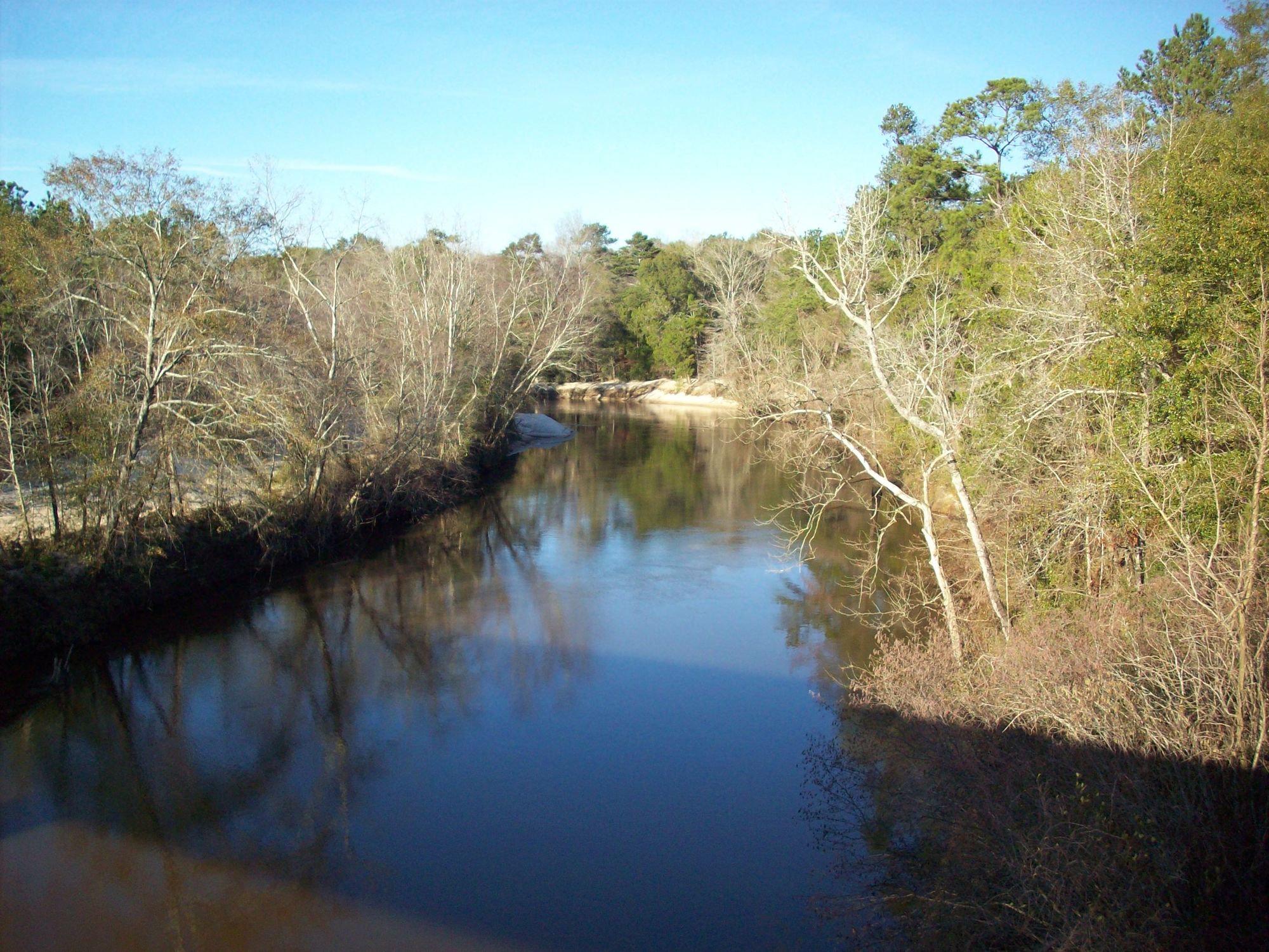
Choctawhatchee River
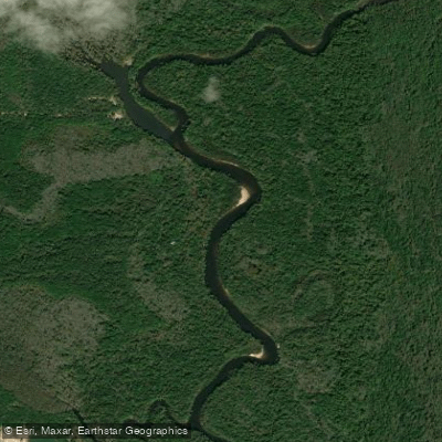
Escambia River
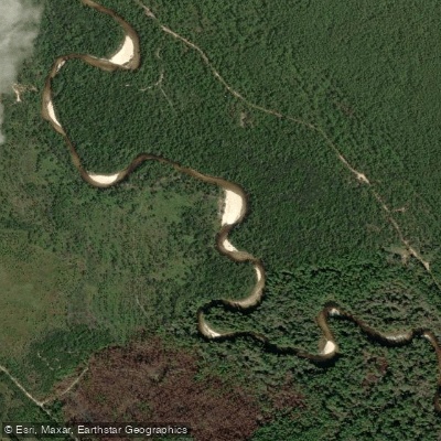
Perdido River
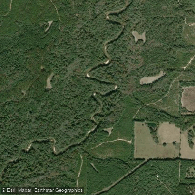
Yellow River
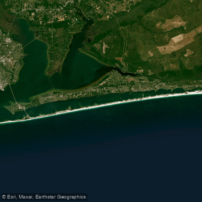
Santa Rosa Sound
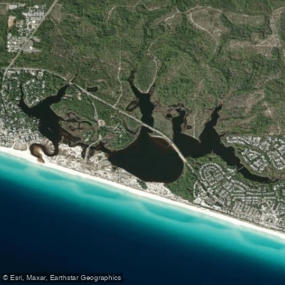
Western Lake
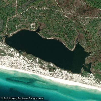
Campbell Lake
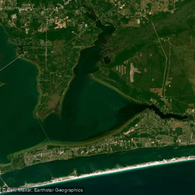
East Bay
Explore Florida waters
Top paddling waters
Popular Cities
Loading popular cities...
Explore near Choctawhatchee Bay
Access points
- North County Highway 393 Boat Launch
- Legion Park Boat Ramp
- Garnier's Beach Park (No Parking for Trailers - Small Boats Only)
- Choctaw Beach Park Boat Ramp
- Choctaw Beach Park Public Boat Launch
- Walkedge Boat Ramp
- Point Washington Boat Ramp
- US Highway 331 Causeway #4 Boat Ramp
- Legion Park Public Boat Ramp
- Thomas Pilcher Park on the Clyde B. Wells Bridge - Boat Ramp
- Grady Brown Bayfield Park - Boat Ramp
- Point Washington Public Boat Ramp (aka Harbor Island Ferry)
- All 77 spots
Nearby waters
More in Florida

Smarter Paddling Starts in the App.
Paddleways gives you everything you need to plan smarter, paddle better, and own every trip from first launch to takeout.