Cucumber Slough
- Saltwater
- Bay
Cucumber Slough
- Saltwater
- Bay
- Sq. miles
- 0.2
- Boat Ramps
- 0
- Access Points
- 0
- Campsites
- 0
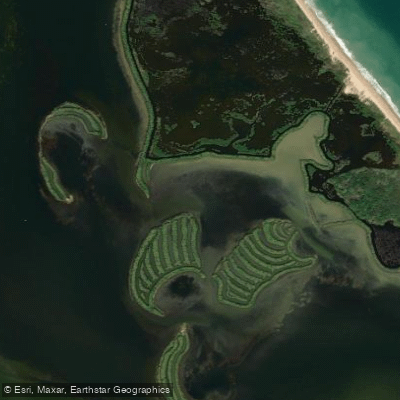
Cucumber Slough is a saltwater stream located within the Mosquito Lagoon system in Brevard County, Florida. It is part of the larger Indian River Lagoon estuary, characterized by brackish to salt water. The slough is situated approximately 6.6 kilometers from the main body of Mosquito Lagoon, placing it in a sheltered backcountry area. The primary access point is the Bio Lab boat ramp, located within the Merritt Island National Wildlife Refuge. This ramp provides direct entry to the lagoon system from which Cucumber Slough can be reached. The Haulover Canal area is very busy on weekends, making the Bio Lab ramp a potentially quieter launch site. The paddling environment is a coastal marsh and shallow water system. The area is known for its wildlife, including species like red drum. As a tidal feature connected to Mosquito Lagoon and the Indian River Lagoon, paddlers must plan for tidal currents. The water flow in the slough and connecting channels will be influenced by the tides, so consulting a tide chart for the Mosquito Lagoon area is essential for timing a trip to paddle with or against the current. Wind exposure can be significant over the open waters of the adjacent Mosquito Lagoon before reaching the slough, so checking wind forecasts is advised. The region is part of a national wildlife refuge, so paddlers should be aware of and comply with all applicable federal and state regulations, including any specific rules for the refuge waters.
Water access, boat ramps & amenities
Learn how to get on Cucumber Slough. Uncover great paddling access points, boat ramps, and all the facilities you need for an unforgettable day on the water. Some locations shown may border or include private property. Always check property boundaries and applicable regulations before visiting. PaddleWays's Public & Private Land layer can help you plan your access with confidence.
Paddle smarter with real-time insights
Whether you're en route and conditions shift or you're looking for the best spot based on current flows, we enable you to make informed decisions on the fly.








Find Places to Paddle

Over 400,000 Places to Paddle
Every user gets free access to launch points, boat ramps, and public property parcels.


Tides, wind & water conditions (10 day forecast)
On open water, wind and tide matter as much as the weather. See the best times to paddle Cucumber Slough and check the marine forecast before you launch.
Loading tide predictions…
Paddling near Cucumber Slough

Saint Johns River
Lake Tohopekaliga
Indian River Lagoon
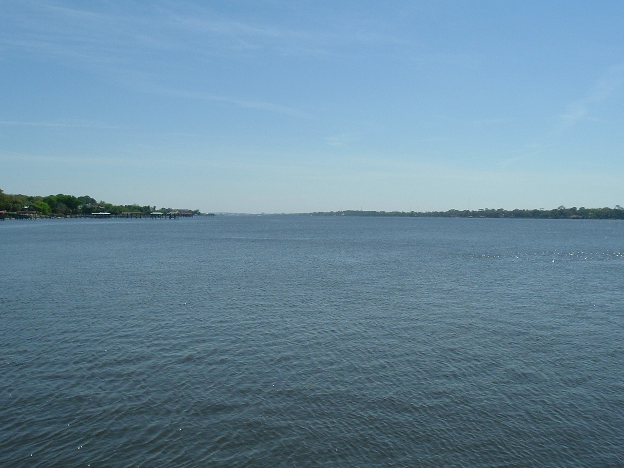
Halifax River
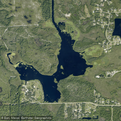
Fox Lake
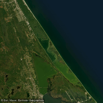
Mosquito Lagoon
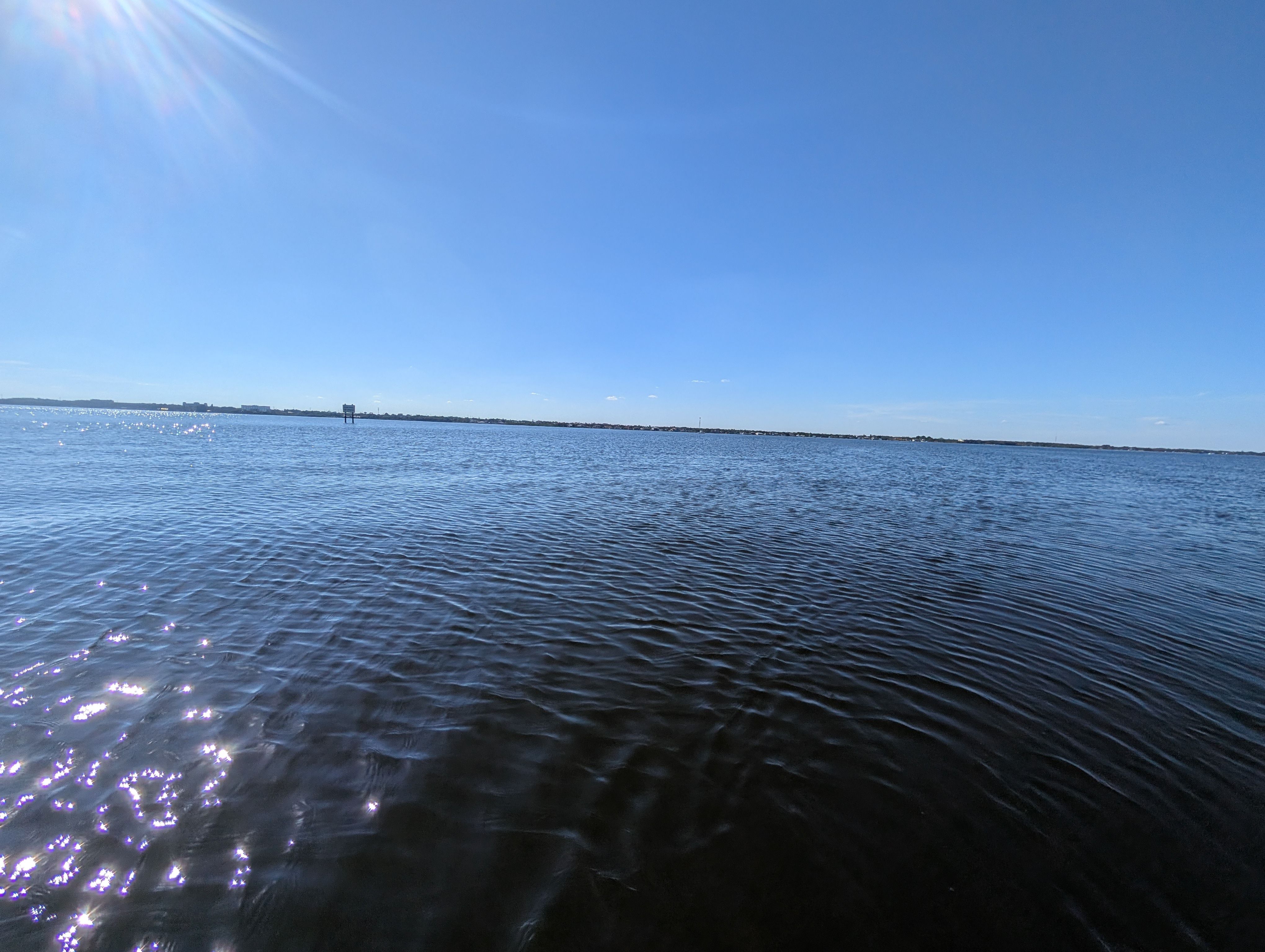
Indian River
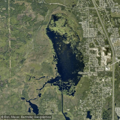
South Lake
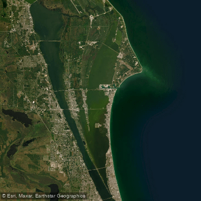
Banana River
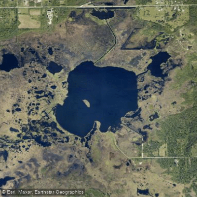
Salt Lake
Explore Florida waters
Top paddling waters
Popular Cities
Loading popular cities...
Explore near Cucumber Slough

Smarter Paddling Starts in the App.
Paddleways gives you everything you need to plan smarter, paddle better, and own every trip from first launch to takeout.