Indian River
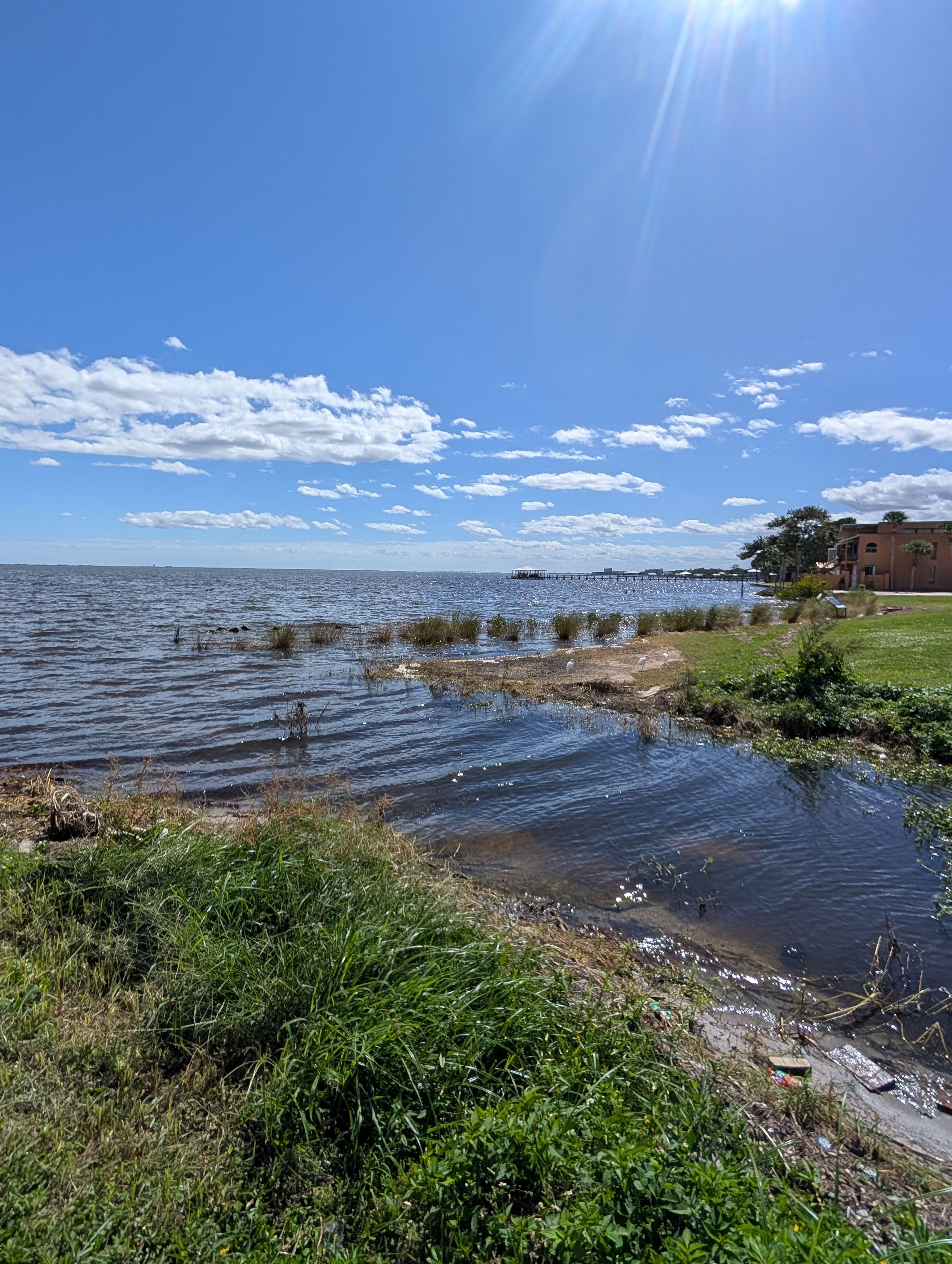
Indian River
- Boat Ramps
- 1
- Access Points
- 1
- Campsites
- 26
The Indian River is a 121-mile lagoon system stretching along Florida's Atlantic coast from Ponce de León Inlet near New Smyrna Beach south to Jupiter Inlet. Despite its name, this is not a traditional flowing river but rather an estuary where fresh and saltwater mix, forming part of the Atlantic Intracoastal Waterway. Originally called Río de Ais by Spanish explorers after the indigenous Ais tribe, the waterway averages four feet in depth and varies in width from half a mile to five miles across.
The Indian River Lagoon stands as North America's most biologically diverse estuary, designated both an Outstanding Florida Water and an Estuary of National Significance. Its mangrove wetlands and salt marshes create critical habitat for an extraordinary array of wildlife. Paddlers regularly encounter bottlenose dolphins, West Indian manatees, sea turtles, and numerous bird species including ospreys, great blue herons, pelicans, and occasionally bald eagles. The lagoon's extensive seagrass beds serve as vital nurseries for juvenile fish and invertebrates.
Paddling conditions throughout the system remain consistently flatwater, though intermediate skills are recommended due to open water exposure, tidal influences, and boat traffic along the Intracoastal Waterway. The lagoon's protected waters make it accessible year-round, with early mornings offering the calmest conditions and best wildlife viewing. Paddlers should exercise extreme caution near Sebastian Inlet, where currents can reach over nine feet per second at maximum ebb.
The Treasure Coast section between Fort Pierce and Sebastian provides exceptional paddling opportunities. Over 150 spoil islands dot the lagoon—man-made islands created during 1950s dredging operations that now support mature mangrove forests. The Spoil Island Project manages these islands, designating some for primitive camping and day use while protecting others as bird sanctuaries and conservation areas. Popular camping islands include IR25 near Vero Beach and SL3 near Fort Pierce, with IR25 featuring trails and docking facilities.
Major access points include North Causeway Bridge Park in Fort Pierce, MacWilliam Park in Vero Beach, Jensen Beach Causeway, and Sebastian Riverside Park. These locations offer boat ramps, kayak launches, and parking facilities. The lagoon connects to several tributary systems including the St. Sebastian River's south fork, which provides glimpses of old Florida through narrow, mangrove-lined channels.
Multi-day expeditions are popular, with the 24-mile Fort Pierce to Sebastian route offering island camping opportunities and the 44.5-mile Port Salerno to Fort Pierce segment forming part of the Florida Circumnavigational Saltwater Paddling Trail. Pelican Island National Wildlife Refuge, established in 1903 as America's first national wildlife refuge, allows paddling within 100 feet of posted boundaries, providing exceptional birding opportunities.
Paddlers must respect island designations, practice Leave No Trace principles, and pack out all waste including human waste from primitive camping areas. The Fort Pierce Inlet maintains clean water flow between the Atlantic Ocean and lagoon, supporting the region's remarkable marine biodiversity.
Water access, boat ramps & amenities
Learn how to get on Indian River. Uncover great paddling access points, boat ramps, and all the facilities you need for an unforgettable day on the water. Some locations shown may border or include private property. Always check property boundaries and applicable regulations before visiting. PaddleWays's Public & Private Land layer can help you plan your access with confidence.
Paddle smarter with real-time insights
Whether you're en route and conditions shift or you're looking for the best spot based on current flows, we enable you to make informed decisions on the fly.








Find Places to Paddle

Over 400,000 Places to Paddle
Every user gets free access to launch points, boat ramps, and public property parcels.


Water and weather conditions (10 day forecast)
See the best times to paddle Indian River and check the forecast before you go.
INDIAN RIVER AT WABASSO, FL
Paddling near Indian River

Saint Johns River
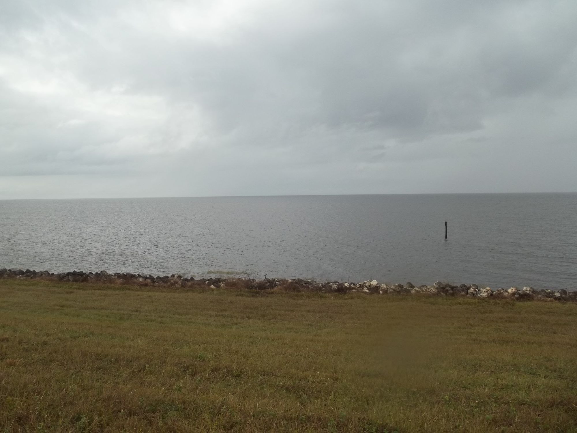
Lake Okeechobee
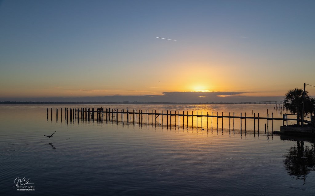
Indian River Lagoon
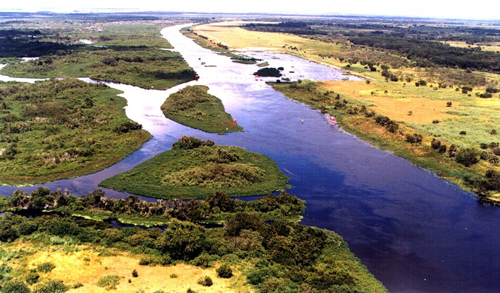
Kissimmee River
Sebastian Inlet
Blue Cypress Lake
South Prong Saint Sebastian River
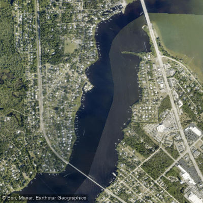
Saint Sebastian River
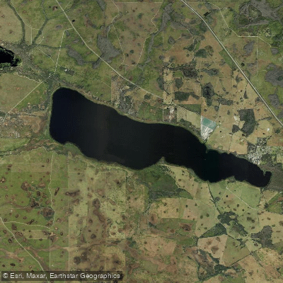
Lake Marian
Explore Florida waters
Top paddling waters
Popular Cities
Loading popular cities...
Explore near Indian River
Access points
- Merritt Island National Wildlife Refuge - Haulover Canal Kayak Launch Site
- Intracoastal Waterway Bridge
- Indian River Bridge
- Indian River Iww Bridge
- Indian River Bridge
- Indian River / Icw Bridge
- Indian River Bridge
- Taylor Creek Bridge
- Moores Creek Bridge
- Haulover Canal Bridge
- Main Canal Bridge
- Rio Mar Bay Bridge
- All 105 spots
Nearby waters
More in Florida

Smarter Paddling Starts in the App.
Paddleways gives you everything you need to plan smarter, paddle better, and own every trip from first launch to takeout.