Cutter Bank
- Saltwater
- Sea area
Cutter Bank
- Saltwater
- Sea area
- Sq. miles
- 2.2
- Boat Ramps
- 0
- Access Points
- 0
- Campsites
- 0
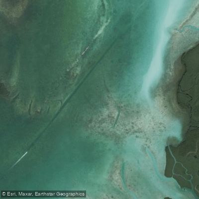
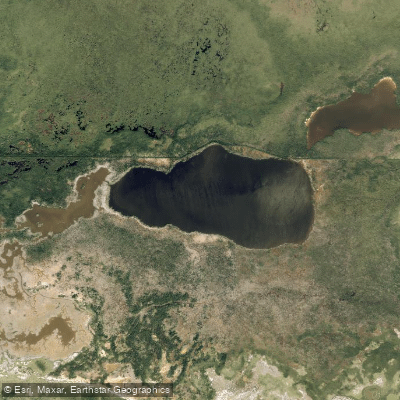
Cutter Bank is a shallow, named area within the extensive tidal waters of southern Biscayne Bay, forming part of the boundary between Card Sound and the main bay. It is a designated channel for the Intracoastal Waterway, a busy maritime corridor akin to an interstate highway, with significant powerboat traffic. For paddlers, the primary consideration is navigating this channel, which requires crossing it to access routes between keys like Totten Key, Old Rhodes Key, and Elliott Key. Timing this crossing for slack tide or when the tidal current is flowing in your direction of travel is strongly advised to manage the combined challenge of current and boat wake. The area is exposed to wind and waves, particularly in summer storms, which can stir up the open parts of the bay. Recommended launch points for accessing Cutter Bank include Homestead Bayfront Park to the northwest and Black Point Marina to the north, with distances on the order of 5-7 miles to reach the area. These routes involve crossing open water and navigating around shallow grass banks like Pelican Bank. The shoreline of nearby keys, such as the Arsenickers, consists of mangrove edges and is prime bird rookery habitat. The water body is within Biscayne National Park, and paddlers must observe all park regulations, including manatee speed zones in approach channels. There are no facilities at Cutter Bank itself; all supplies must be carried in. The area is used by the Florida Circumnavigational Saltwater Paddling Trail as part of a segment running from Flamingo to Miami.
Water access, boat ramps & amenities
Learn how to get on Cutter Bank. Uncover great paddling access points, boat ramps, and all the facilities you need for an unforgettable day on the water. Some locations shown may border or include private property. Always check property boundaries and applicable regulations before visiting. PaddleWays's Public & Private Land layer can help you plan your access with confidence.
Paddle smarter with real-time insights
Whether you're en route and conditions shift or you're looking for the best spot based on current flows, we enable you to make informed decisions on the fly.








Find Places to Paddle

Over 400,000 Places to Paddle
Every user gets free access to launch points, boat ramps, and public property parcels.


Tides, wind & water conditions (10 day forecast)
On open water, wind and tide matter as much as the weather. See the best times to paddle Cutter Bank and check the marine forecast before you launch.
Loading tide predictions…
Explore Florida waters
Top paddling waters
Popular Cities
Loading popular cities...
Explore near Cutter Bank

Smarter Paddling Starts in the App.
Paddleways gives you everything you need to plan smarter, paddle better, and own every trip from first launch to takeout.