Escambia Bay
- Saltwater
- Bay
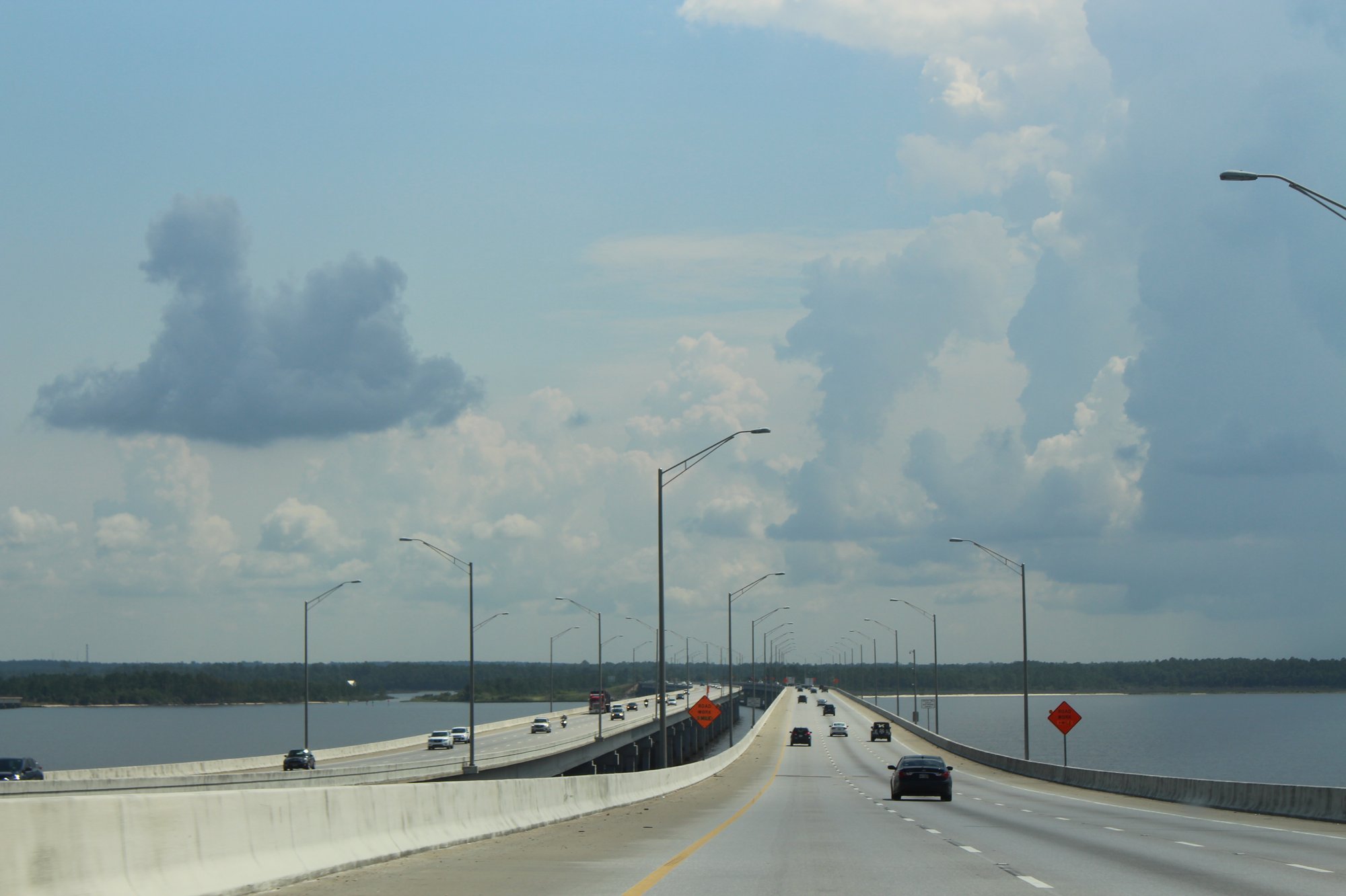
Escambia Bay
- Saltwater
- Bay
- Sq. miles
- 32
- Boat Ramps
- 9
- Access Points
- 0
- Campsites
- 1
Escambia Bay is a large coastal bay in northwest Florida, forming part of the Pensacola Bay system. It is a tidal saltwater feature with a mix of open water, sheltered shorelines, and tributary rivers. The bay is characterized by generally calm, sheltered waters suitable for kayaking, canoeing, and stand-up paddleboarding, making it a beginner-friendly environment. Paddlers should be aware that conditions are tidal, and planning a trip around slack tide is recommended for the easiest paddling. The bay experiences typical Gulf Coast tidal ranges and currents, so consulting a local tide chart is essential for trip planning.
Numerous public access points provide entry to the bay. Key launches include the Swamp House RV Park & Marina, which offers access to upper Escambia Bay and the Escambia River for a $5 fee. The Simpson River Fishing Pier and Canoe Launch is a hand-launch site with a pier, shelter, and restrooms, providing access to the tributaries of upper Escambia Bay. Other notable ramps are the Garcon Point Public Boat Ramp, located at the north end of the Garcon Point Bridge, and the Archie Glover Public Boat Ramp near the I-10 bridge. The Floridatown Boat Ramp on the bay's northern shore is noted to have very shallow water and mud flats, potentially becoming unusable at low tide. Many of these facilities offer basic amenities like parking, docks, and occasionally restrooms.
A primary safety consideration is boat traffic, particularly in main channels and near marinas. The bay is open and can develop a fetch, so wind conditions should be monitored as they can create choppy water. The shoreline offers opportunities to explore hidden coves and calm side channels. Wildlife viewing is a common activity, with the bay environment supporting bird and marine life. The water is part of the warm Gulf Coast climate, supporting year-round paddling, though summer offers the warmest water temperatures.
Water access, boat ramps & amenities
Learn how to get on Escambia Bay. Uncover great paddling access points, boat ramps, and all the facilities you need for an unforgettable day on the water. Some locations shown may border or include private property. Always check property boundaries and applicable regulations before visiting. PaddleWays's Public & Private Land layer can help you plan your access with confidence.
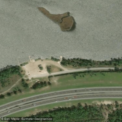
Archie Glover Park Paddlecraft Launch
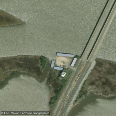
Jim's Fish Camp
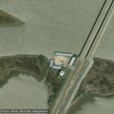
Jim's Fish Camp Boat Ramp
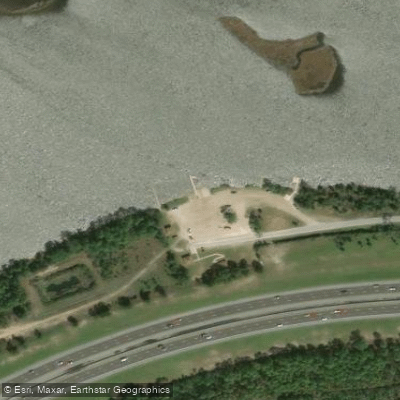
Archie Glover Park Boat Ramp
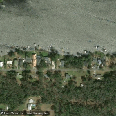
Avalon Public Boat Ramp #3 (San Miguel) Not Recommended
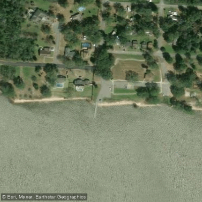
Floridatown Park and Boat Ramp
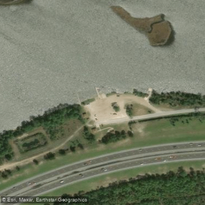
Archie Glover Boat Ramp
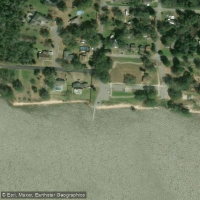
Floridatown Park and Boat Ramp
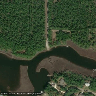
Indian Bay Boat Ramp
Paddle smarter with real-time insights
Whether you're en route and conditions shift or you're looking for the best spot based on current flows, we enable you to make informed decisions on the fly.








Find Places to Paddle

Over 400,000 Places to Paddle
Every user gets free access to launch points, boat ramps, and public property parcels.


Tides, wind & water conditions (10 day forecast)
On open water, wind and tide matter as much as the weather. See the best times to paddle Escambia Bay and check the marine forecast before you launch.
Loading tide predictions…
Paddling near Escambia Bay
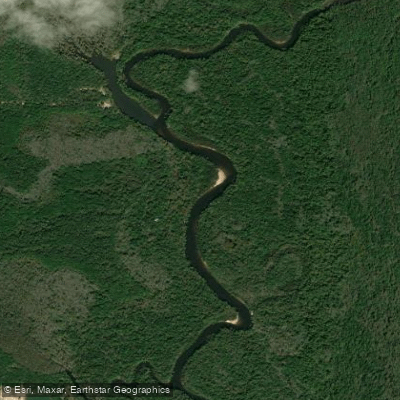
Escambia River
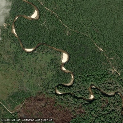
Perdido River
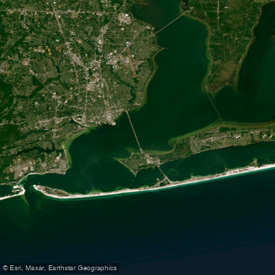
Pensacola Bay
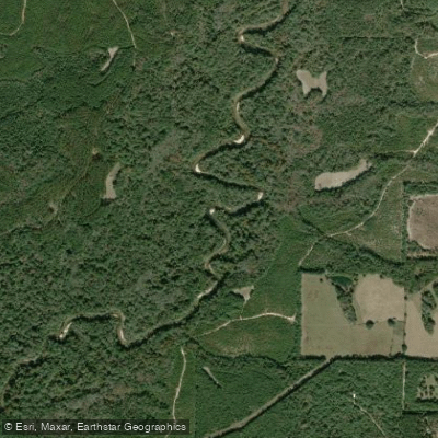
Yellow River
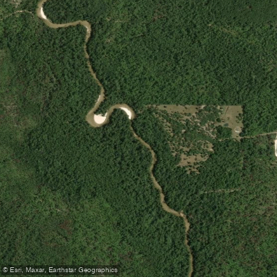
Blackwater River
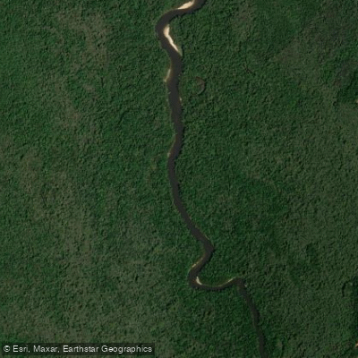
Delaney River
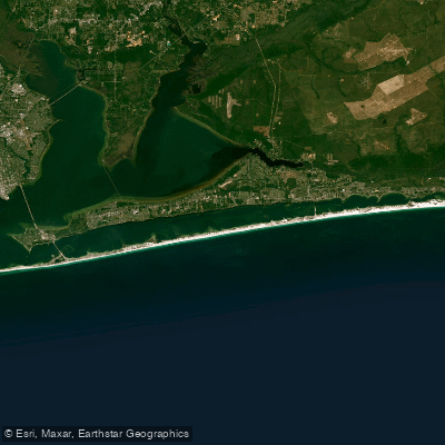
Santa Rosa Sound
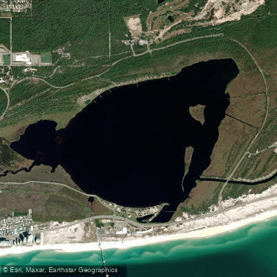
Shelby Lakes
Explore Florida waters
Top paddling waters
Popular Cities
Loading popular cities...
Explore near Escambia Bay
Access points
- Archie Glover Park Paddlecraft Launch
- Jim's Fish Camp
- Jim's Fish Camp Boat Ramp
- Archie Glover Park Boat Ramp
- Avalon Public Boat Ramp #3 (San Miguel) Not Recommended
- Floridatown Park and Boat Ramp
- Archie Glover Boat Ramp
- Floridatown Park and Boat Ramp
- Indian Bay Boat Ramp
- Simpson River Bridge
- Saultsman Bayou Bridge
- Mulatto Bayou Bridge
- All 40 spots
Nearby waters
More in Florida

Smarter Paddling Starts in the App.
Paddleways gives you everything you need to plan smarter, paddle better, and own every trip from first launch to takeout.