Fakahatchee Bay
- Saltwater
- Bay
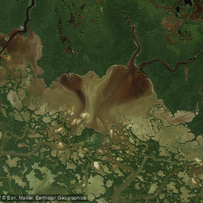
Fakahatchee Bay
- Saltwater
- Bay
- Sq. miles
- 3.1
- Boat Ramps
- 0
- Access Points
- 0
- Campsites
- 1
Fakahatchee Bay is a coastal bay in the Ten Thousand Islands region, serving as the tidal terminus for the East River within Fakahatchee Strand Preserve State Park. The primary paddling route to the bay is via the East River, a brackish, tidal waterway that flows southwest from a launch point off US 41 (Tamiami Trail). This launch, located almost exactly five miles west of the SR 29 intersection, features an easy sand and gravel put-in with a port-a-potty and picnic table, though parking is limited. The one-way paddle from the launch to Fakahatchee Bay covers approximately 5.5 to 6 miles. The route progresses through a series of small lakes connected by narrow, unmarked mangrove tunnels, requiring careful navigation, before gradually widening into an open tidal river that empties into the bay. The entire waterway is dependent on tides, with strong tidal flows experienced, particularly closer to the bay. Paddling is recommended for intermediate skill levels and higher due to the technical navigation through tunnels and the need to plan around tidal currents. A reservation system is in effect for the East River launch, limiting daily access to a maximum of twenty people to reduce crowding and protect a nearby bird rookery. The bay itself is an open saltwater environment with historical significance, featuring pilings and ruins on its south side that are remnants of a 1920s fishing community and icehouse. Wildlife is abundant, with alligators plentiful in the upper freshwater-influenced sections of the river, and the bay area acts as a nursery for marine species. The overall experience is a remote wilderness paddle through dense mangrove ecosystems leading to a broad, historic coastal bay.
Water access, boat ramps & amenities
Learn how to get on Fakahatchee Bay. Uncover great paddling access points, boat ramps, and all the facilities you need for an unforgettable day on the water. Some locations shown may border or include private property. Always check property boundaries and applicable regulations before visiting. PaddleWays's Public & Private Land layer can help you plan your access with confidence.
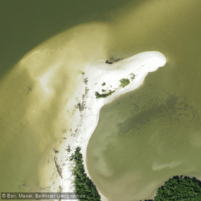
Paddle smarter with real-time insights
Whether you're en route and conditions shift or you're looking for the best spot based on current flows, we enable you to make informed decisions on the fly.








Find Places to Paddle

Over 400,000 Places to Paddle
Every user gets free access to launch points, boat ramps, and public property parcels.


Tides, wind & water conditions (10 day forecast)
On open water, wind and tide matter as much as the weather. See the best times to paddle Fakahatchee Bay and check the marine forecast before you launch.
Loading tide predictions…
Paddling near Fakahatchee Bay
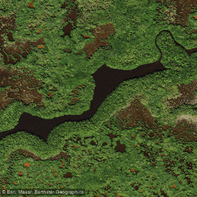
Turner River
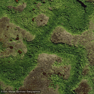
Halfway Creek
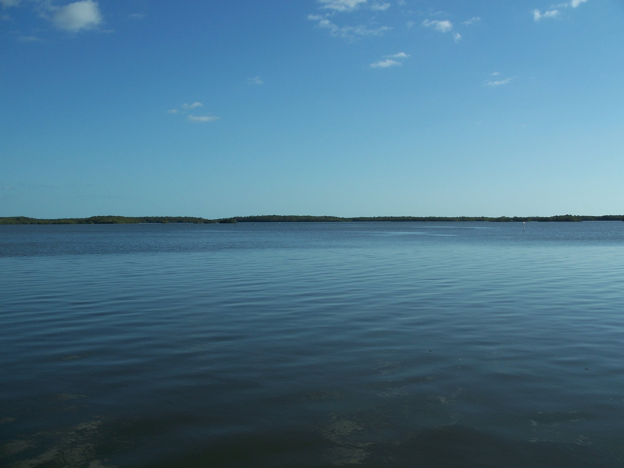
Chokoloskee Bay
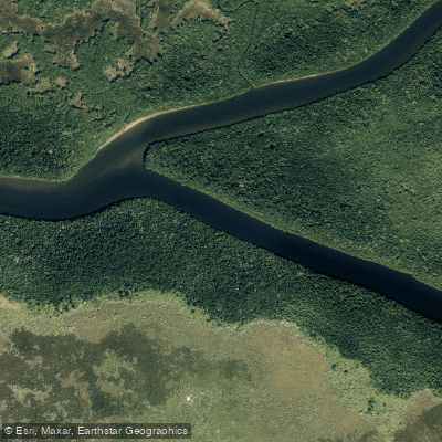
Harney River
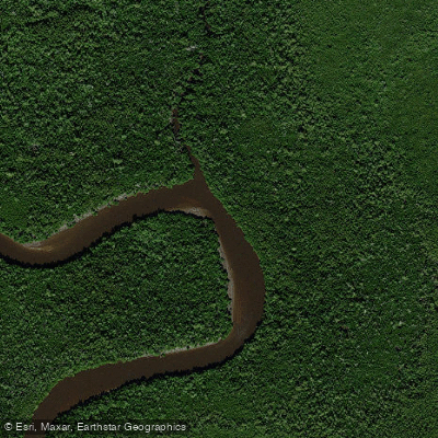
Blackwater River
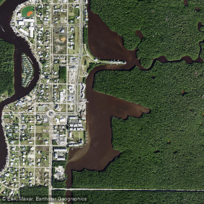
Lake Placid
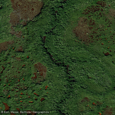
West Palm Run
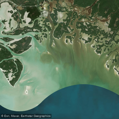
Gullivan Bay
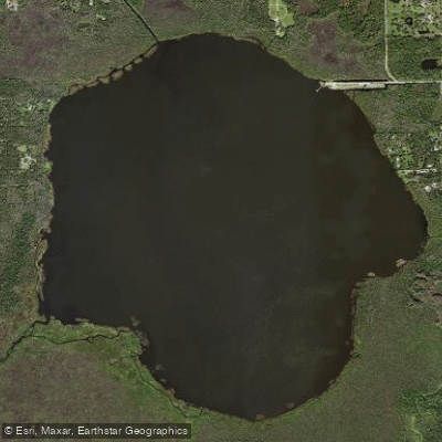
Lake Trafford
Explore Florida waters
Top paddling waters
Popular Cities
Loading popular cities...
Explore near Fakahatchee Bay

Smarter Paddling Starts in the App.
Paddleways gives you everything you need to plan smarter, paddle better, and own every trip from first launch to takeout.