Gullivan Bay
- Saltwater
- Bay
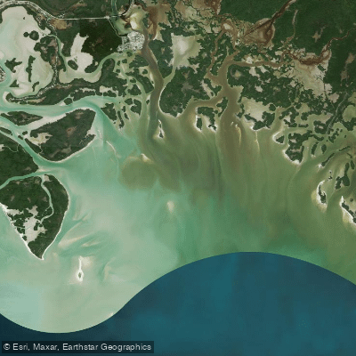
Gullivan Bay
- Saltwater
- Bay
- Sq. miles
- 15
- Boat Ramps
- 0
- Access Points
- 0
- Campsites
- 0
Gullivan Bay is a broad, shallow bay located in the northern Ten Thousand Islands, a few miles south of Cape Romano in southwest Florida. It is a saltwater feature, part of a maze of mangrove keys and open bays, rimmed with mangroves on its landward side and open to the Gulf of Mexico through a scatter of small passes along its western edge. The bay is characterized by its shallow, skinny waters and is undeveloped. A primary access point for paddlers is the Goodland Boating Park, a 5.22-acre park on Goodland Bay which provides direct access to the Ten Thousand Islands and the Gulf of Mexico via a two-lane boat launch ramp. Another potential launch point is the canoe ramp at the Everglades National Park Gulf Coast Visitor Center in Everglades City, which has a fresh water spigot. The bay can be subject to rough conditions, especially with a southerly wind, and features some open water paddling that requires advanced skill levels. Paddlers must be highly proficient in navigation, as the area's many mangrove keys can make it easy to lose one's way. Tidal currents are a significant consideration, particularly in the narrow channels of nearby passes like Indian Key Pass; it is recommended to time departures for the Gulf with an outgoing tide and returns with an incoming tide to work with the current. The surrounding area is rich in wildlife, including thousands of birds, dolphins, manatees, and turtles. Gullivan Key, a sugar-sand barrier beach on the bay's seaward rim, offers primitive beach camping and is known for shelling, though Collier County prohibits taking live shells. This key acts as a breakwater, creating flat calm conditions in the bay behind it when north or northwest winds are blowing. Popular paddling routes include a loop from Goodland to Cape Romano, which is at least 14 miles and traverses open water on Gullivan Bay. Paddlers should be aware of green areas on nautical charts indicating zones that are dry at low tide, requiring careful tide planning to avoid long carries over mud and rock.
Water access, boat ramps & amenities
Learn how to get on Gullivan Bay. Uncover great paddling access points, boat ramps, and all the facilities you need for an unforgettable day on the water. Some locations shown may border or include private property. Always check property boundaries and applicable regulations before visiting. PaddleWays's Public & Private Land layer can help you plan your access with confidence.
Paddle smarter with real-time insights
Whether you're en route and conditions shift or you're looking for the best spot based on current flows, we enable you to make informed decisions on the fly.








Find Places to Paddle

Over 400,000 Places to Paddle
Every user gets free access to launch points, boat ramps, and public property parcels.


Tides, wind & water conditions (10 day forecast)
On open water, wind and tide matter as much as the weather. See the best times to paddle Gullivan Bay and check the marine forecast before you launch.
Loading tide predictions…
Paddling near Gullivan Bay
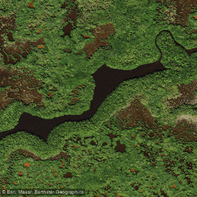
Turner River
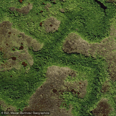
Halfway Creek
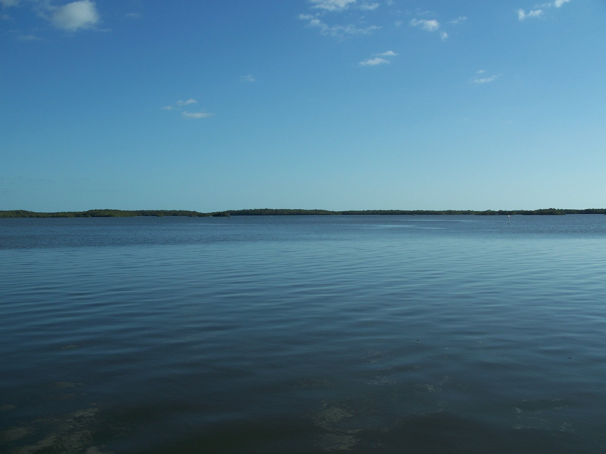
Chokoloskee Bay
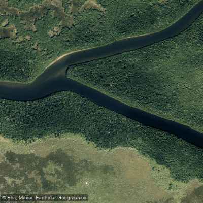
Harney River
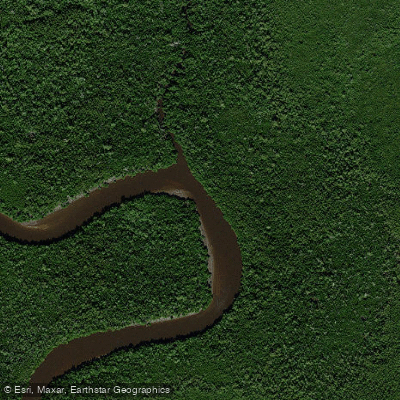
Blackwater River
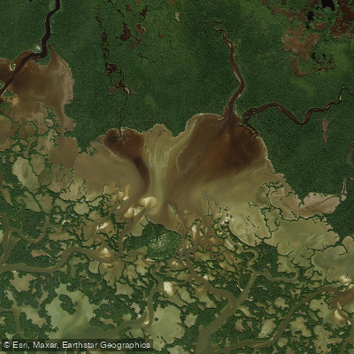
Fakahatchee Bay
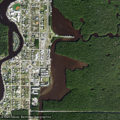
Lake Placid
West Palm Run
Lake Trafford
Explore Florida waters
Top paddling waters
Popular Cities
Loading popular cities...
Explore near Gullivan Bay

Smarter Paddling Starts in the App.
Paddleways gives you everything you need to plan smarter, paddle better, and own every trip from first launch to takeout.