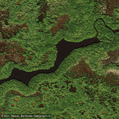
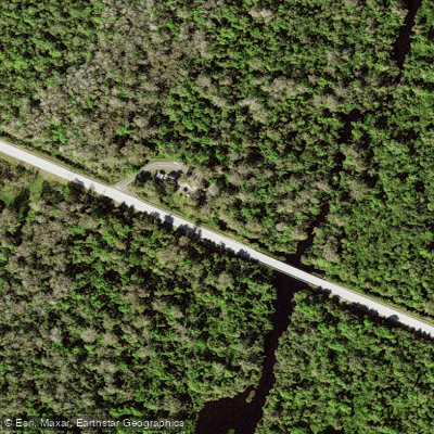
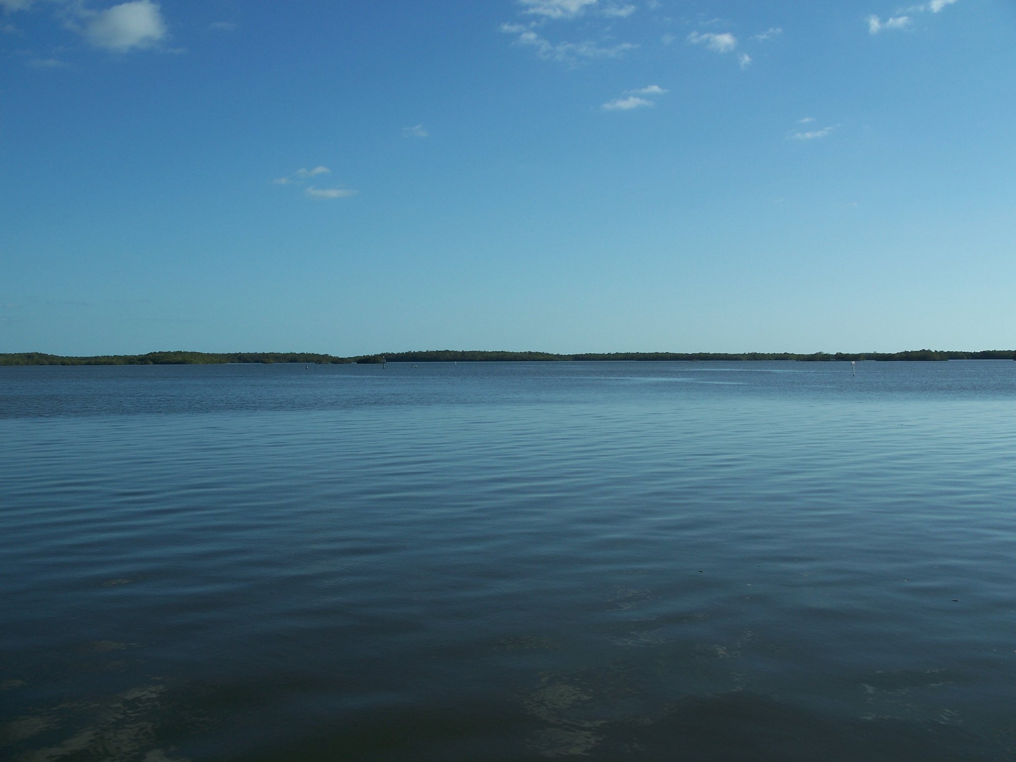
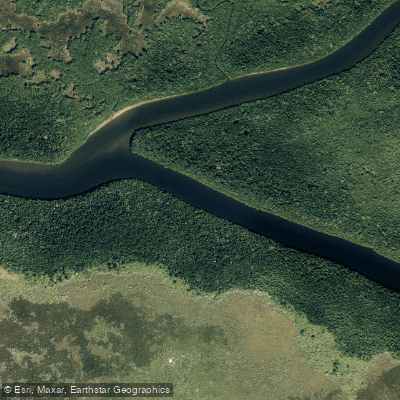
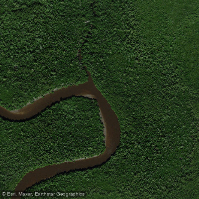
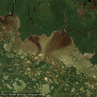
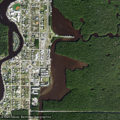
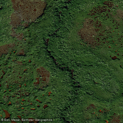
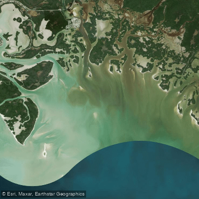
The Turner River flows through the heart of South Florida's wilderness, originating in the freshwater cypress swamps of Big Cypress National Preserve and meandering southward for approximately 8.5 miles to its mouth at Chokoloskee Bay. This remarkable waterway serves as a living laboratory where visitors can witness the Everglades' extraordinary transition from freshwater to saltwater ecosystems within a single paddling journey.
Beginning near US Highway 41 (Tamiami Trail) in Collier County, the Turner River starts as a narrow freshwater stream surrounded by bald cypress stands and sawgrass prairie. As it flows south through Big Cypress National Preserve and into Everglades National Park, the river gradually transforms into a tidal estuary, widening considerably as it approaches the Ten Thousand Islands region. The Left Hand Turner River represents the system's primary tributary, joining the main stem approximately 7.5 miles downstream from the highway launch point.
Paddlers can choose from multiple route configurations ranging from 3-mile guided tours focusing on the famous mangrove tunnels to the complete 10-mile "source to sea" experience. The river's four distinct mangrove tunnels constitute its most celebrated feature—narrow passages where overhanging red mangroves create natural archways so confined that paddlers must break down their paddles and pull themselves through by grasping roots and branches. These tunnels require boats under 16 feet for optimal maneuverability.
Water levels and tidal influences significantly impact paddling conditions, with the river becoming impassable during extreme high or low water periods. November through March offers ideal conditions when heat, humidity, and insect populations reach manageable levels. Tidal timing proves crucial for the lower reaches, where paddlers can harness outgoing tides for easier downstream progress.
The Turner River ecosystem supports an impressive array of wildlife including American alligators, manatees, roseate spoonbills, great blue herons, anhingas, and numerous turtle species. Epiphytic air plants festoon the mangrove canopies, while water lilies dot the quieter backwater areas. The transition zone between fresh and saltwater creates unique habitat conditions supporting both cypress-adapted and marine-tolerant species.
Primary access occurs at the Turner River Canoe Launch on US 41, with take-out options at Chokoloskee Island or the Gulf Coast Visitor Center near Everglades City. The river connects to an extensive paddling network including Halfway Creek and various loop configurations totaling up to 14 miles from Everglades City.
This waterway represents one of Florida's premier paddling destinations, offering an unparalleled opportunity to experience the Everglades' ecological complexity. The Turner River demands respect for its tidal nature, water level variations, and abundant wildlife, particularly the numerous alligators that call these waters home.