West Palm Run
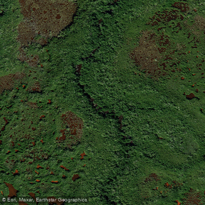
West Palm Run
- Boat Ramps
- 0
- Access Points
- 0
- Campsites
- 2
There is some confusion here. The data consistently refers to the Loxahatchee River rather than West Palm Run, and all geographic details, access points, and descriptions point to the well-documented Loxahatchee River system in Palm Beach and Martin Counties, Florida. However, if West Palm Run exists as a separate waterway in Florida, I don't have specific information about this particular river.
What I can tell you is that the Loxahatchee River flows from Riverbend Park in Jupiter through Jonathan Dickinson State Park in Hobe Sound, spanning 8.5 miles as Florida's first National Wild and Scenic River. Without verified data specifically about West Palm Run as a distinct waterway, I cannot provide accurate information about its origin, flow direction, tributaries, or characteristics.
The principle of geographic accuracy requires that I only describe features that can be confirmed to belong to the specific river system in question. If West Palm Run is indeed a separate waterway from the Loxahatchee River, additional research would be needed to provide accurate information about its hydrology, access points, paddling opportunities, and other characteristics. It's possible that "West Palm Run" may be a local name for a section of another waterway, a small tributary, or a waterway that has limited documentation in standard paddling resources.
For accurate information about paddling opportunities in the West Palm Beach area of Florida, the Loxahatchee River system offers exceptional experiences through cypress forests and mangrove estuaries, but this would be a different waterway than West Palm Run if they are indeed separate rivers. To provide a comprehensive overview of West Palm Run specifically, I would need data that clearly identifies and describes this particular waterway's characteristics, location, and features distinct from other Florida rivers.
Water access, boat ramps & amenities
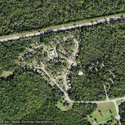
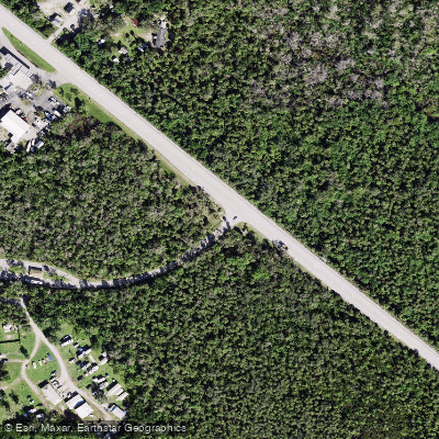
Learn how to get on West Palm Run. Uncover great paddling access points, boat ramps, and all the facilities you need for an unforgettable day on the water. Some locations shown may border or include private property. Always check property boundaries and applicable regulations before visiting. PaddleWays's Public & Private Land layer can help you plan your access with confidence.
Paddle smarter with real-time insights
Whether you're en route and conditions shift or you're looking for the best spot based on current flows, we enable you to make informed decisions on the fly.








Find Places to Paddle

Over 400,000 Places to Paddle
Every user gets free access to launch points, boat ramps, and public property parcels.


Water and weather conditions (10 day forecast)
See the best times to paddle West Palm Run and check the forecast before you go.
No forecast data available.
Paddling near West Palm Run
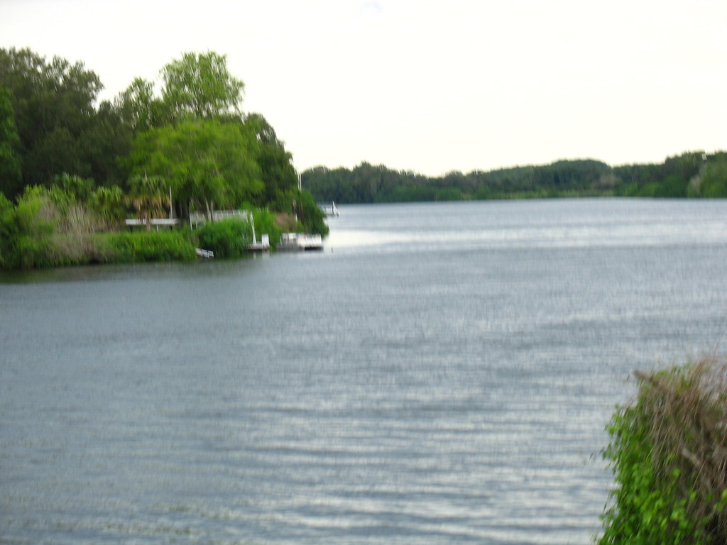
Caloosahatchee River
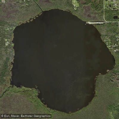
Lake Trafford
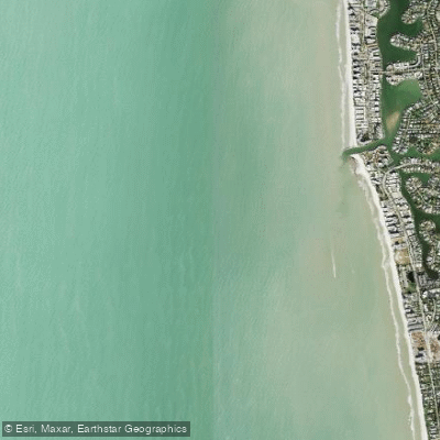
Doctors Pass
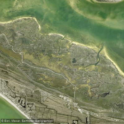
Sanibel Bayou
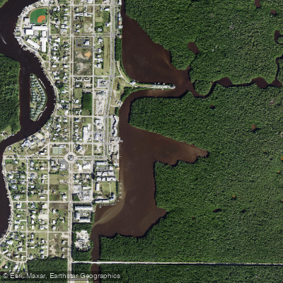
Lake Placid
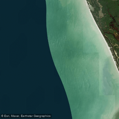
Little Marco Pass
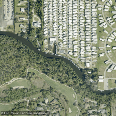
Estero River
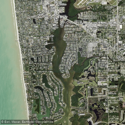
Naples Bay
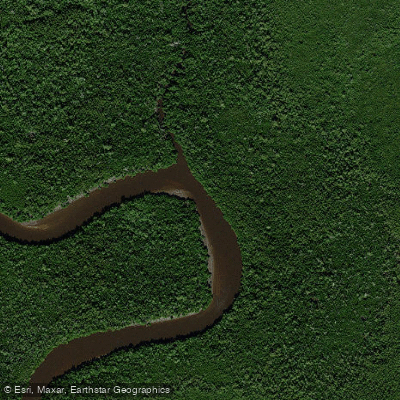
Blackwater River
Explore Florida waters
Top paddling waters
Popular Cities
Loading popular cities...
Explore near West Palm Run
Access points
Nearby waters
More in Florida

Smarter Paddling Starts in the App.
Paddleways gives you everything you need to plan smarter, paddle better, and own every trip from first launch to takeout.