Flint River

Flint River
- Boat Ramps
- 18
- Access Points
- 19
- Campsites
- 14
The Flint River is a waterway that flows through the heart of Georgia, offering paddlers a remarkable journey through picturesque landscapes and varying levels of whitewater excitement. Stretching for approximately 344 miles, the river begins just south of Atlanta and flows southward, eventually joining the Chattahoochee River to form Lake Seminole at the Florida border.
The river can be divided into several distinct sections, each offering unique paddling experiences. The Upper Flint River Water Trail, spanning 97 miles from Thomaston to Montezuma/Oglethorpe, is particularly popular among paddlers. This section features a mix of peaceful flatwater and exciting rapids, including the challenging Yellow Jacket Shoals, a Class III rapid that demands respect and skill from paddlers.
The Flint River caters to a wide range of skill levels, with difficulty ranging from flatwater to Class III rapids, and occasionally Class IV in high water conditions. Beginners can enjoy the calm stretches, while more experienced paddlers can test their skills on the river's numerous shoals and rapids.
Spring and fall are generally the best times to paddle the Flint, offering comfortable temperatures and typically good water levels. Summer can be hot but still enjoyable, especially on the lower sections. Winter paddling is possible but requires proper cold-water gear and experience.
The river's ecosystem is rich and diverse, supporting a variety of wildlife. Paddlers may encounter various fish species, birds of prey, and even the occasional alligator in the lower sections. The riverbanks are lined with a mix of hardwood forests, limestone bluffs, and mysterious blue hole springs, creating a constantly changing backdrop for your journey.
Notable landmarks along the Flint River include Sprewell Bluff State Park, a popular access point and scenic area, and the infamous Yellow Jacket Shoals. The river passes through or near several towns, including Thomaston, Albany, and Bainbridge, providing convenient access points and resupply options for multi-day trips.
Historically, the Flint River played a crucial role in the development of central and southwest Georgia. It was a vital transportation route for Native Americans and early settlers, and its power was harnessed for mills and later for hydroelectric dams.
Safety is paramount when paddling the Flint. Always check water levels before your trip, as they can significantly affect the difficulty of rapids. Wear a personal flotation device at all times, and be prepared for sudden weather changes. Some sections, particularly around Yellow Jacket Shoals, may require portaging depending on water levels and paddler experience.
For those seeking a multi-day adventure, the 70-mile stretch from Albany to Bainbridge is a popular choice. This flatwater section offers a peaceful journey through some of Georgia's most beautiful landscapes, with ample opportunities for camping and wildlife viewing.
The Flint River is more than just a paddling destination; it's a vital natural resource and a testament to Georgia's diverse ecology. Whether you're seeking a thrilling whitewater experience or a serene float through pristine wilderness, the Flint River offers something for every paddler.
Water access, boat ramps & amenities
Learn how to get on Flint River. Uncover great paddling access points, boat ramps, and all the facilities you need for an unforgettable day on the water. Some locations shown may border or include private property. Always check property boundaries and applicable regulations before visiting. PaddleWays's Public & Private Land layer can help you plan your access with confidence.
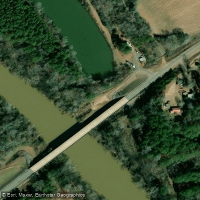
Paddle smarter with real-time insights
Whether you're en route and conditions shift or you're looking for the best spot based on current flows, we enable you to make informed decisions on the fly.








Find Places to Paddle

Over 400,000 Places to Paddle
Every user gets free access to launch points, boat ramps, and public property parcels.


Water and weather conditions (10 day forecast)
See the best times to paddle Flint River and check the forecast before you go.
FLINT RIVER NEAR LOVEJOY, GA
All Flow Stations
Paddling near Flint River
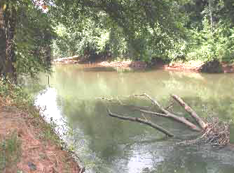
Ocmulgee River
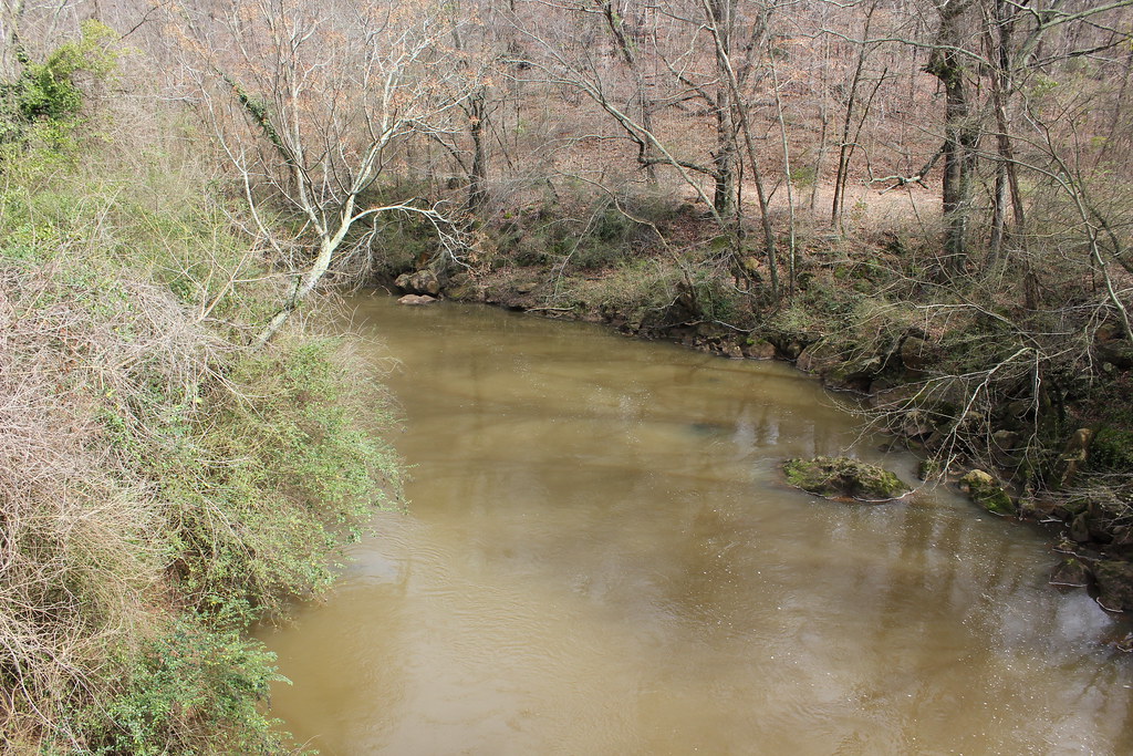
Oconee River
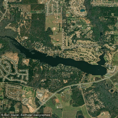
Houston Lake
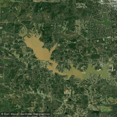
Lake Tobesofkee
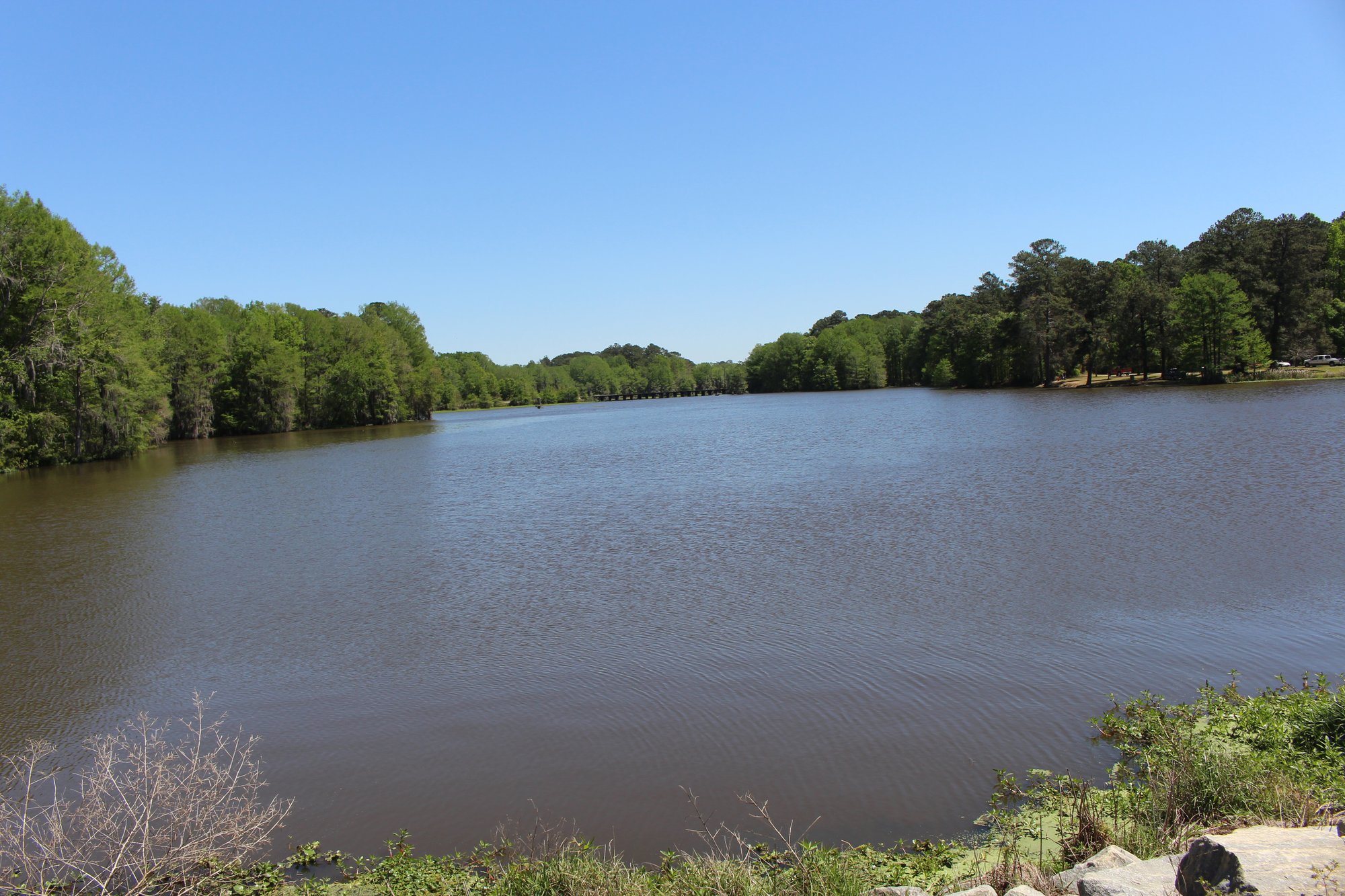
Lake Blackshear
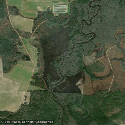
Alapaha River
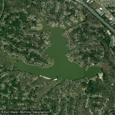
Lake Wildwood
Tobesofkee Creek
Lazer Creek
Explore Florida waters
Top paddling waters
Popular Cities
Loading popular cities...
Explore near Flint River
Access points
Nearby waters
More in Florida

Smarter Paddling Starts in the App.
Paddleways gives you everything you need to plan smarter, paddle better, and own every trip from first launch to takeout.