Lake Blackshear
Lake Blackshear
- Boat Ramps
- 6
- Access Points
- 6
- Campsites
- 1
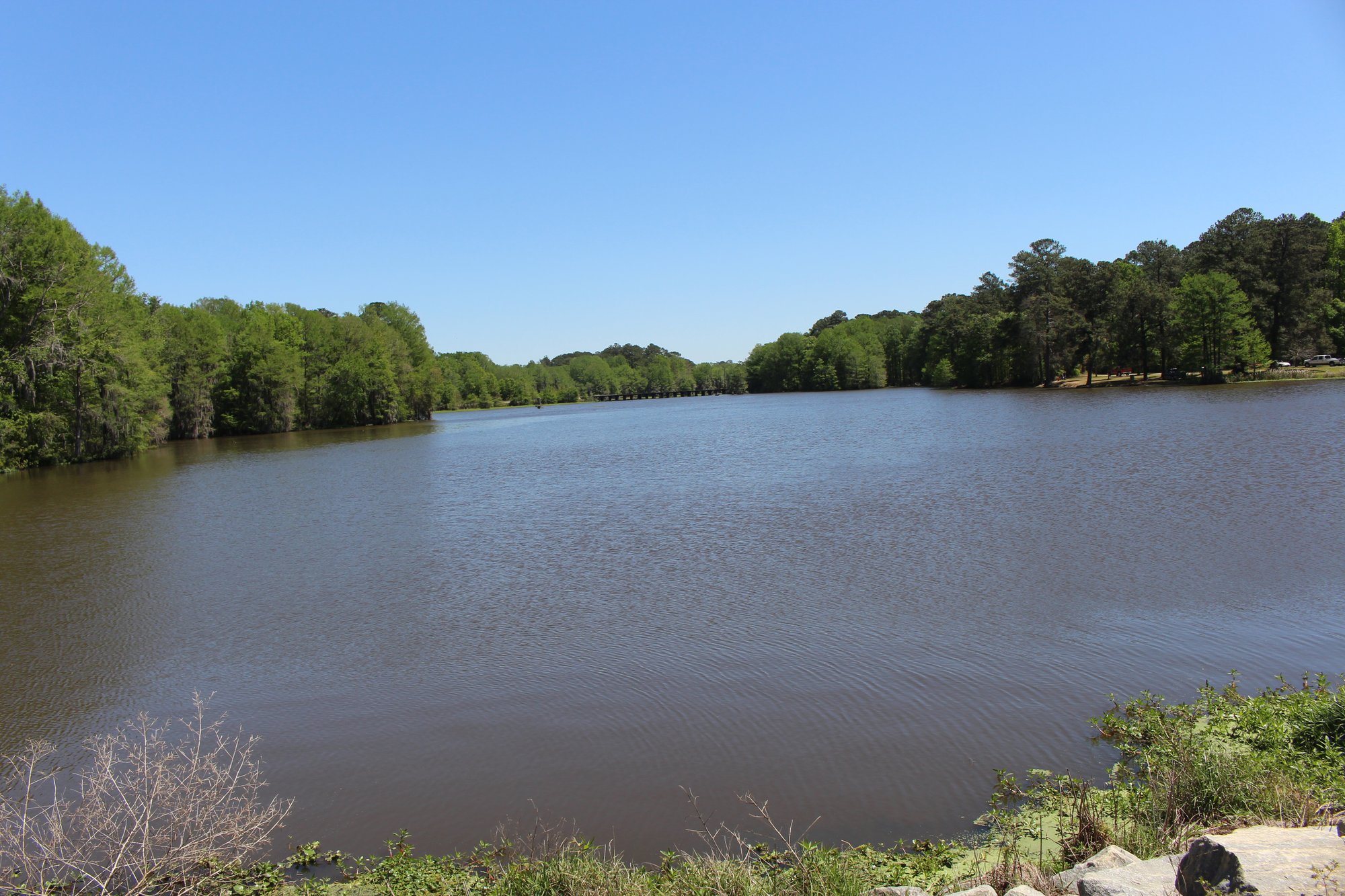
Lake Blackshear is an 8,700-acre reservoir located in south Georgia, created by damming the Flint River in 1930. The lake is approximately 20 miles long and 1 mile wide at its widest point. Paddlers can enjoy scenic views of cypress trees draped with Spanish moss along the shoreline.
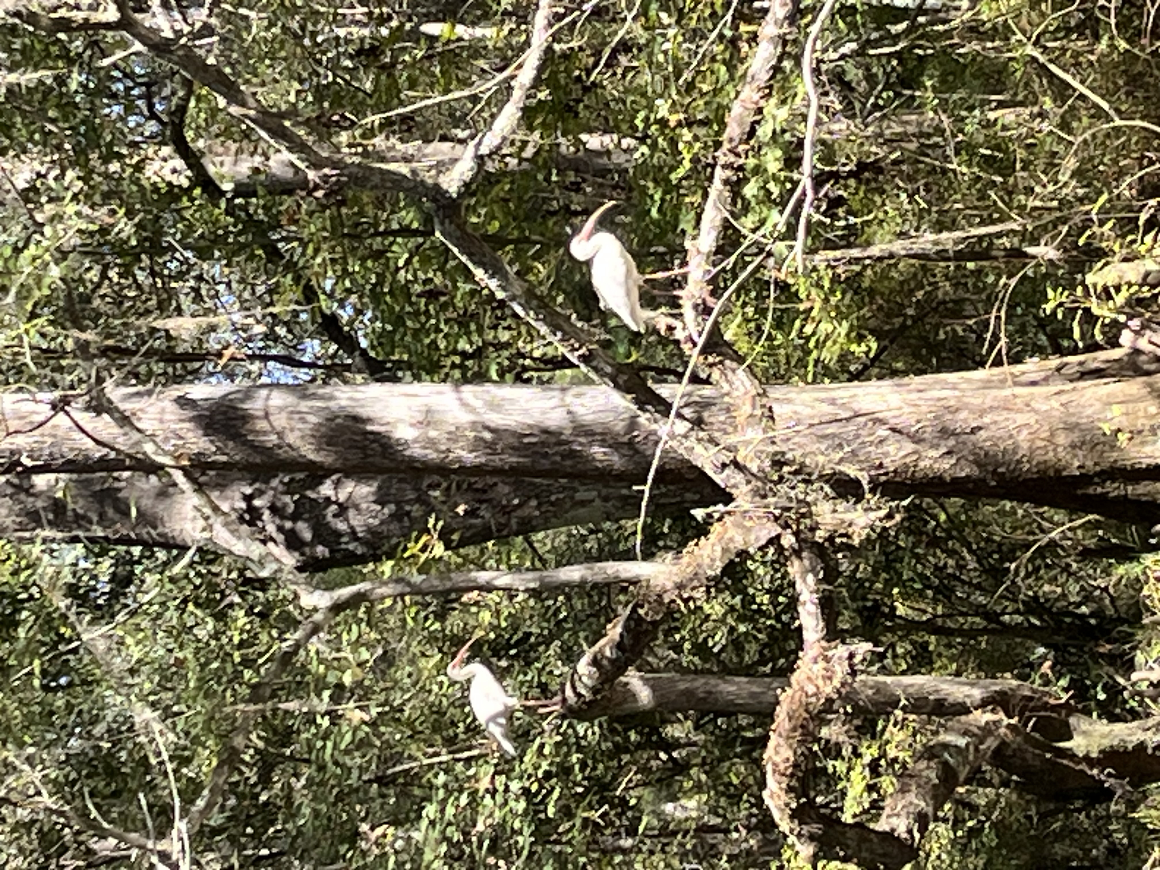
The lake offers calm waters suitable for kayakers of all skill levels. Wildlife viewing opportunities include alligators, turtles, herons, ospreys, and various bird species. Paddlers should exercise caution around alligators and be aware of potential cottonmouth snakes. Insect repellent is recommended, especially in warmer months.
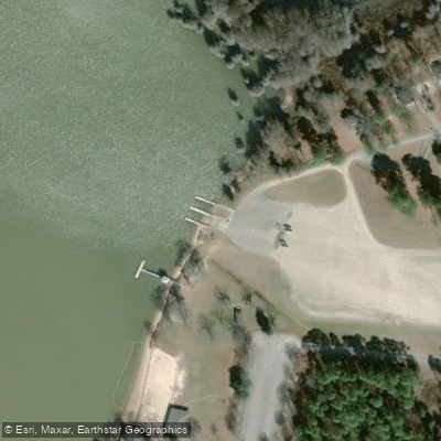
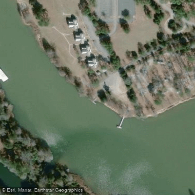
Georgia Veterans State Park provides public access to the lake, with launch sites available at the picnic area and day-use boat ramp. The cove near the park entrance offers a sheltered paddling area with minimal motorized boat traffic. Paddlers can explore back into the cove, potentially reaching the primitive camping area at its eastern end.
For a leisurely paddle focused on wildlife viewing, an out-and-back trip in this cove covers about 1-2 miles. The best times for wildlife spotting are early morning and late afternoon. Spectacular sunsets can be viewed from the water.
Lake Blackshear Resort & Golf Club, located within the state park, offers kayak rentals and additional amenities. A $2 state park day-use fee applies, or visitors can purchase an annual pass. The lake is open for paddling year-round, though summer weekends may see increased motorboat traffic.
Paddlers should be cautious when venturing into more open areas of the lake where motorized boats are present. The lake's water levels can fluctuate, potentially exposing obstacles in shallower areas. Clean restroom facilities are available within the state park.
Water access, boat ramps & amenities
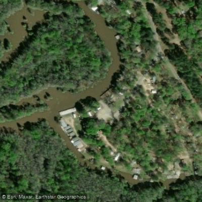
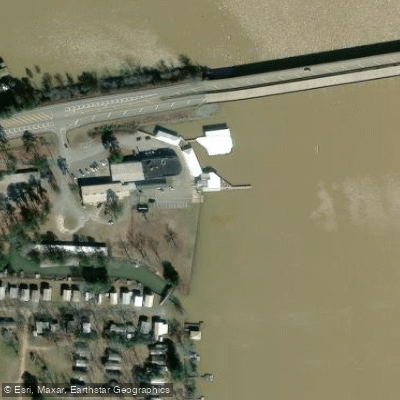
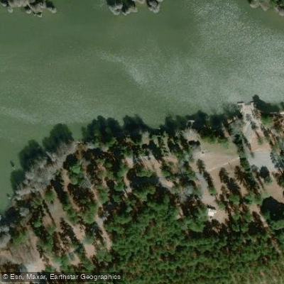
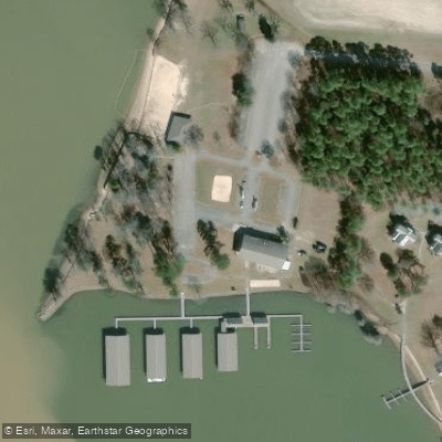
Learn how to get on Lake Blackshear. Uncover great paddling access points, boat ramps, and all the facilities you need for an unforgettable day on the water. Some locations shown may border or include private property. Always check property boundaries and applicable regulations before visiting. PaddleWays's Public & Private Land layer can help you plan your access with confidence.
Paddle smarter with real-time insights
Whether you're en route and conditions shift or you're looking for the best spot based on current flows, we enable you to make informed decisions on the fly.








Find Places to Paddle

Over 400,000 Places to Paddle
Every user gets free access to launch points, boat ramps, and public property parcels.


Water and weather conditions (10 day forecast)
See the best times to paddle Lake Blackshear and check the forecast before you go.
No forecast data available.
Paddling near Lake Blackshear

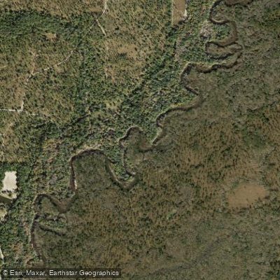
Flint River
Ochlockonee River
Kinchafoonee Creek
Alapaha River
Little River
Reed Bingham Park Lake
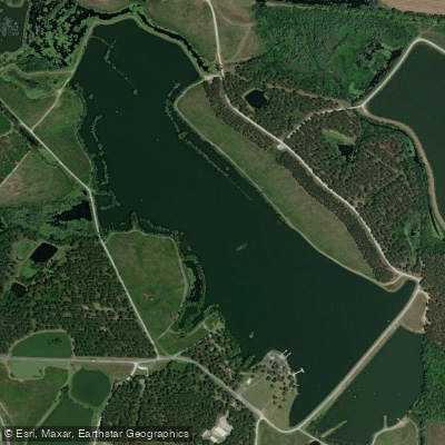
Lake Patrick
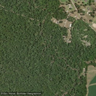
Spring Creek
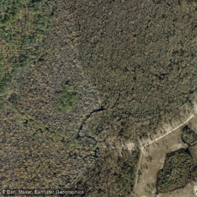
Aucilla River
Explore Georgia waters
Top paddling waters
Popular Cities
Loading popular cities...
Explore near Lake Blackshear
Access points
- Georgia Veterans State Park Boat Ramp
- Georgia Veterans State Park Boat Ramp
- Camper's Haven Marina Boat Ramp
- Lakeshore Marina Boat Ramp
- Georgia Veterans State Park Boat Ramp
- Lake Blackshear Resort Boat Ramp
- Flint River Bridge
- Gum Creek Bridge
- Gully Creek Bridge
- Cedar Creek Bridge
- Swift Creek Bridge
- Swift Creek Bridge
- All 39 spots
Nearby waters
More in Georgia

Smarter Paddling Starts in the App.
Paddleways gives you everything you need to plan smarter, paddle better, and own every trip from first launch to takeout.