Lazer Creek
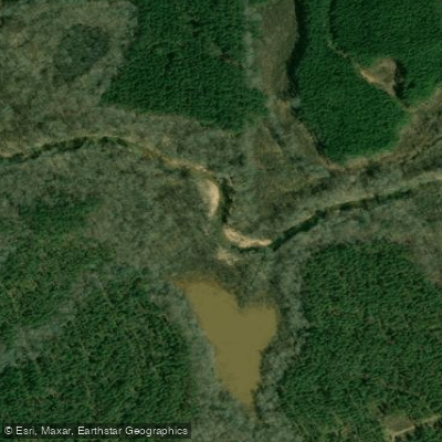
Lazer Creek
- Boat Ramps
- 1
- Access Points
- 1
- Campsites
- 5
Lazer Creek is a relatively small but noteworthy waterway located in west-central Georgia, primarily flowing through Talbot County. The creek likely springs from the hilly terrain characteristic of the region and ultimately joins the Flint River, contributing to the larger Apalachicola-Chattahoochee-Flint River Basin. The most popular section for paddling is the 10-mile stretch from Hendricks Road to its confluence with the Flint River. This run offers a mix of Class II to III whitewater, making it suitable for intermediate kayakers and canoeists with some whitewater experience.
Paddlers can expect a variety of features typical of moderate whitewater, including small drops, wave trains, and maneuvering around obstacles. The creek winds through scenic Georgia countryside, providing an enjoyable day trip for those looking to experience some of the state's lesser-known waterways. While specific rapids aren't named, the consistent Class II-III rating suggests a steady progression of challenges throughout the run.
As with many Georgia streams, spring and early summer typically offer the most reliable water levels. Paddlers should always check current flow conditions before embarking, as water levels can significantly impact both the difficulty and safety of the run.
Access to Lazer Creek is somewhat limited, with the primary put-in located at Hendricks Road in Talbot County. The take-out is at the confluence with the Flint River. The nearest significant town is likely Thomaston, which is approximately 20 miles east of the area where Lazer Creek flows.
Paddlers can expect to encounter wildlife typical of Georgia's Piedmont region, potentially including various fish species, turtles, and a range of riparian birds.
Safety considerations include being prepared for Class III whitewater conditions, wearing appropriate safety gear, and having the skills to navigate moderate rapids. As always, paddlers should be aware of potential strainers and other obstacles that are common in creek environments.
Lazer Creek's relatively short length makes it ideal for day trips rather than multi-day expeditions. However, its proximity to the Flint River opens up possibilities for extended paddling adventures by combining runs on both waterways. For those seeking a deeper connection to Georgia's waterways, Lazer Creek offers a less-traveled alternative to some of the state's more popular paddling destinations, providing a chance to explore the natural beauty and challenges of the region's smaller streams.
Water access, boat ramps & amenities
Learn how to get on Lazer Creek. Uncover great paddling access points, boat ramps, and all the facilities you need for an unforgettable day on the water. Some locations shown may border or include private property. Always check property boundaries and applicable regulations before visiting. PaddleWays's Public & Private Land layer can help you plan your access with confidence.
Paddle smarter with real-time insights
Whether you're en route and conditions shift or you're looking for the best spot based on current flows, we enable you to make informed decisions on the fly.








Find Places to Paddle

Over 400,000 Places to Paddle
Every user gets free access to launch points, boat ramps, and public property parcels.


Water and weather conditions (10 day forecast)
See the best times to paddle Lazer Creek and check the forecast before you go.
No forecast data available.
Paddling near Lazer Creek

Chattahoochee River

Flint River
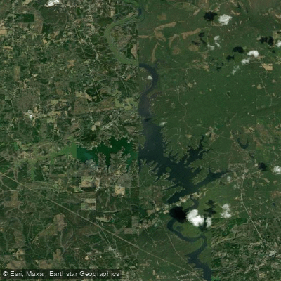
Bartletts Ferry Lake
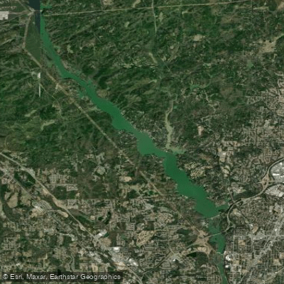
Lake Oliver
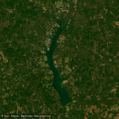
Walter F George Reservoir
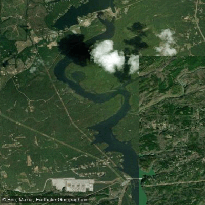
Goat Rock Lake
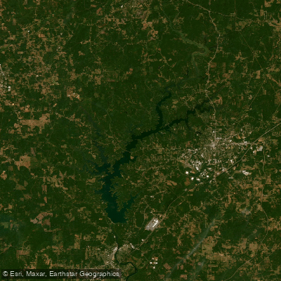
West Point Lake
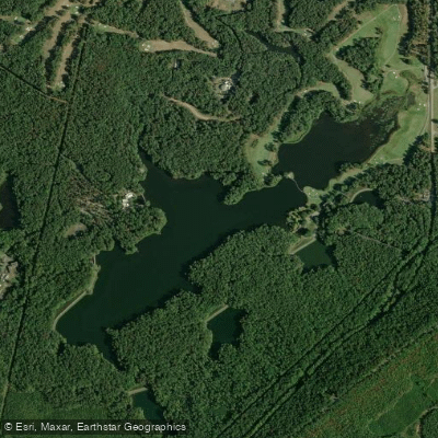
Mountain Creek Lake
Kinchafoonee Creek
Explore Georgia waters
Top paddling waters
Popular Cities
Loading popular cities...
Explore near Lazer Creek
Access points
Nearby waters
More in Georgia

Smarter Paddling Starts in the App.
Paddleways gives you everything you need to plan smarter, paddle better, and own every trip from first launch to takeout.