Tobesofkee Creek
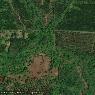
Tobesofkee Creek
- Boat Ramps
- 0
- Access Points
- 0
- Campsites
- 0
Tobesofkee Creek is a 58.9-mile long waterway in central Georgia, originating near Barnesville and flowing southeast through Lamar, Monroe, and Bibb counties before emptying into Lake Tobesofkee just outside of Macon. This scenic creek winds through rural landscapes and eventually feeds into the 1,750-acre Lake Tobesofkee, creating a diverse aquatic ecosystem. The creek offers potential for exploration by experienced paddlers, especially in its lower reaches as it approaches Lake Tobesofkee.
The creek's difficulty varies along its course, with calmer stretches interspersed with rapids or obstacles, particularly after heavy rains. Paddlers should thoroughly scout sections before attempting and be prepared for potential portages. The creek's flow is generally highest in late winter and early spring, making these seasons potentially ideal for paddling, though summer and fall can offer more stable water levels for a relaxed experience.
The surrounding landscape features typical central Georgia flora, including mixed hardwood forests and riverside vegetation that provides habitat for various wildlife species. A key point of interest is the creek's historical significance as a crossing point for the Lower Creek Trading Path after 1670, which connected Creek towns on the Chattahoochee River to the English colonial settlement of Charlestown. This historical context adds cultural depth to the paddling experience.
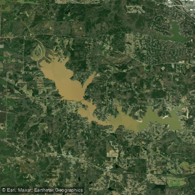
The creek's terminus at Lake Tobesofkee offers excellent recreational opportunities. The lake boasts three parks with sandy beaches, boat ramps, and facilities for swimming, fishing, and picnicking. The Duck Ponds area of Lake Tobesofkee is particularly noteworthy, offering a secluded and beautiful spot for kayaking, canoeing, and stand-up paddleboarding.
For those interested in multi-day adventures, combining a creek paddle with exploration of Lake Tobesofkee could create an engaging itinerary. The lake's 35 miles of shoreline and multiple access points allow for varied experiences.
Safety considerations include being aware of water levels, potential strainers or log jams, and respecting private property along the creek's banks. As with any paddling excursion, wearing a life jacket and informing others of your plans is essential.
While Tobesofkee Creek itself may be less developed for recreational paddling, its connection to Lake Tobesofkee creates a unique waterway system that offers both the potential for creek exploration and the certainty of lake-based water activities, making it a valuable resource for outdoor enthusiasts in central Georgia.
Water access, boat ramps & amenities
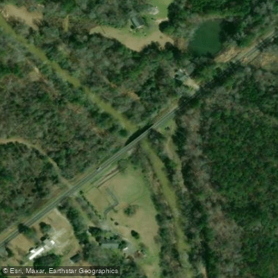
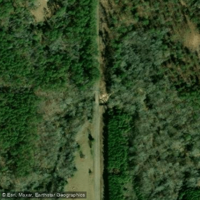
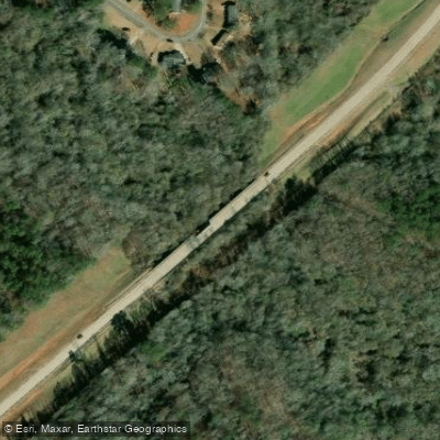
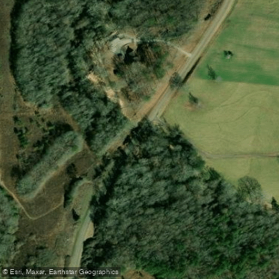
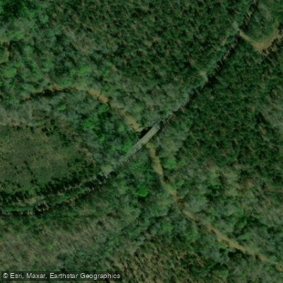
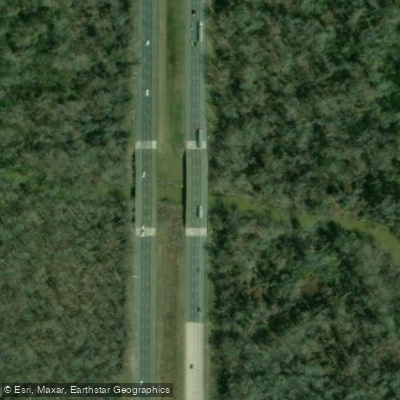
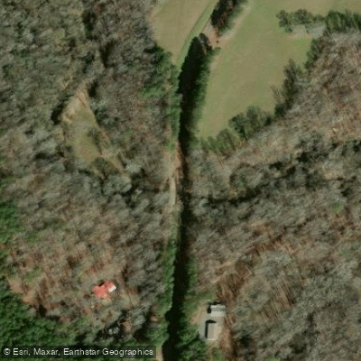
Learn how to get on Tobesofkee Creek. Uncover great paddling access points, boat ramps, and all the facilities you need for an unforgettable day on the water. Some locations shown may border or include private property. Always check property boundaries and applicable regulations before visiting. PaddleWays's Public & Private Land layer can help you plan your access with confidence.


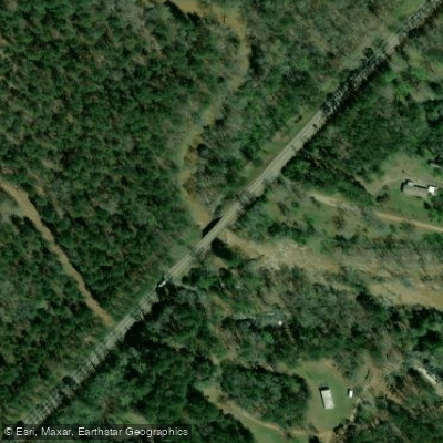
Paddle smarter with real-time insights
Whether you're en route and conditions shift or you're looking for the best spot based on current flows, we enable you to make informed decisions on the fly.








Find Places to Paddle

Over 400,000 Places to Paddle
Every user gets free access to launch points, boat ramps, and public property parcels.


Water and weather conditions (10 day forecast)
See the best times to paddle Tobesofkee Creek and check the forecast before you go.
TOBESOFKEE CREEK NEAR MACON, GA
Paddling near Tobesofkee Creek
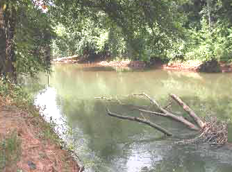
Ocmulgee River
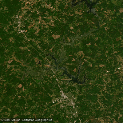
Lake Sinclair

Flint River
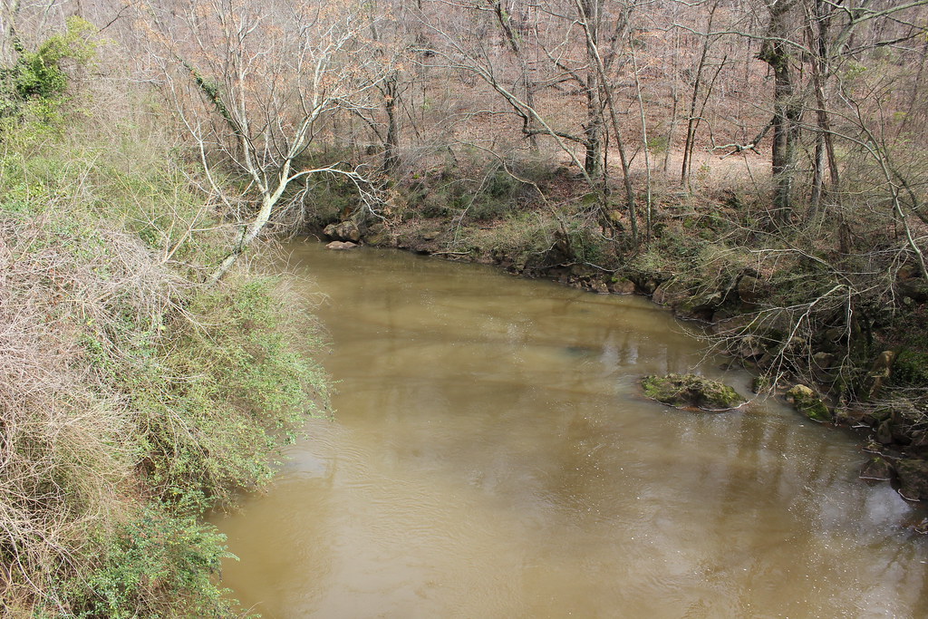
Oconee River

Lake Oconee
Lake Tobesofkee
Lake Wildwood
Houston Lake
High Falls Lake
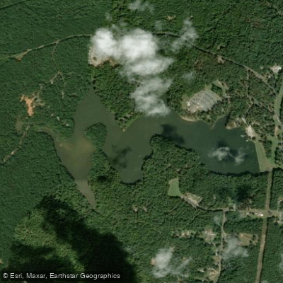
Chief McIntosh Lake
Explore Georgia waters
Top paddling waters
Popular Cities
Loading popular cities...
Explore near Tobesofkee Creek
Access points
Nearby waters
More in Georgia

Smarter Paddling Starts in the App.
Paddleways gives you everything you need to plan smarter, paddle better, and own every trip from first launch to takeout.