Curated by PaddleWays
RouteFlatwater
- Distance
- 1.5 mi
- Paddle time
- ~0.5 hrs
- Put-in → take-out
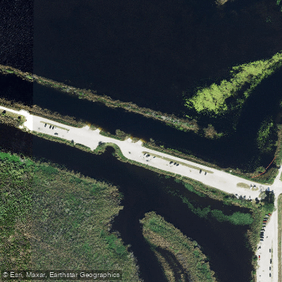
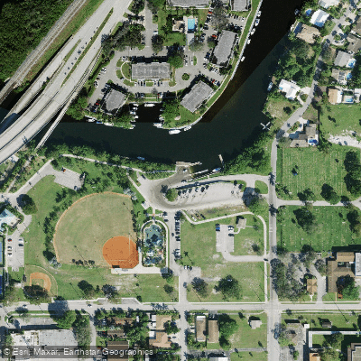
- Pioneer Park Boat Ramp → Sullivan Park Kayak Launch Dock
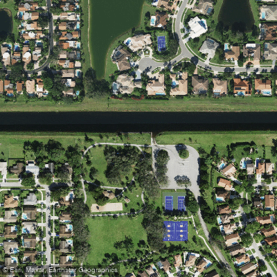
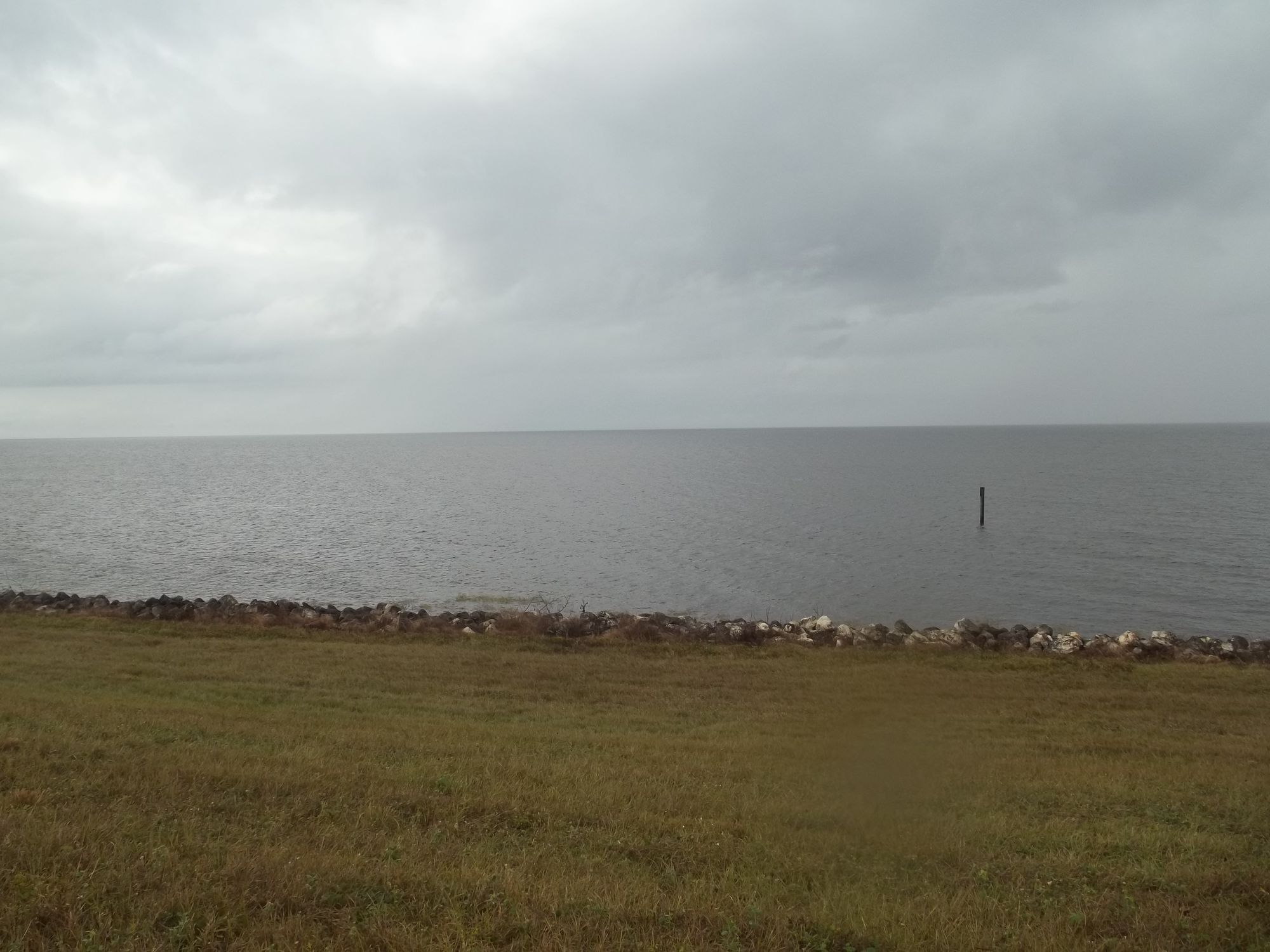
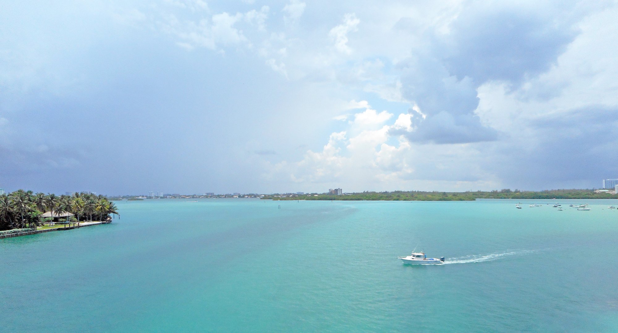
The Hillsboro Canal is a man-made waterway located in southeastern Florida, forming part of the border between Broward and Palm Beach counties. Originally constructed in 1917 as part of Everglades drainage efforts, the canal runs east from its western origins in Palm Beach County towards the Atlantic coast. While not a traditional paddling destination, the Hillsboro Canal offers a unique urban paddling experience.
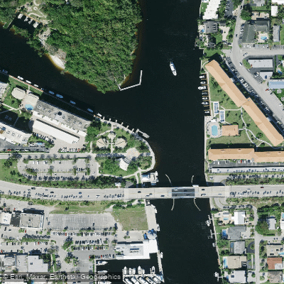
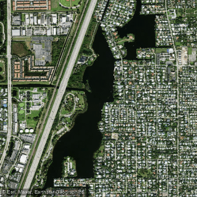
The most popular route is a 3.5-mile one-way trip from Pioneer Park in Deerfield Beach to the Royal Palm Yacht Club marina. This flatwater paddle takes kayakers and stand-up paddleboarders through a mix of residential areas and natural Florida landscapes. The difficulty level is easy, suitable for beginners and families. However, paddlers should be aware of potential boat traffic and wind conditions, especially near the Intracoastal Waterway. The best times to paddle are typically early mornings or late afternoons when temperatures are cooler and boat traffic is lighter.
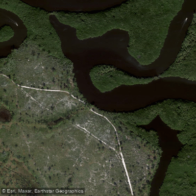
Wildlife viewing opportunities include wading birds, turtles, and the occasional manatee or alligator. The canal is lined with a variety of native and non-native vegetation, offering glimpses of both urban and natural Florida ecosystems. A key point of interest along the route is Deerfield Island Park, a 54-acre island bordered by the Intracoastal Waterway and the Hillsboro Canal. This island, once owned by Al Capone, is only accessible by boat and offers a unique stop for paddlers.
The main access point is Pioneer Park in Deerfield Beach, located east of Dixie Highway and north of Hillsboro Boulevard. This park provides ample parking and a boat ramp for easy launching. While not historically significant as a natural waterway, the Hillsboro Canal plays an important role in South Florida's water management system. Paddlers should be aware of water control structures and follow all posted regulations.
Safety considerations include being visible to motorized boat traffic, wearing a life jacket, and being prepared for sudden weather changes typical of South Florida. Multi-day trips are not common on this urban waterway, but paddlers can extend their experience by exploring nearby coastal areas or connecting canal systems. For those seeking an unconventional paddling adventure that blends urban exploration with natural Florida scenery, the Hillsboro Canal offers a distinctive and accessible option in the heart of South Florida's coastal region.
Curated routes
Hand-picked by the PaddleWays team, with put-ins, take-outs, paddle times and the hazards along the way.
RouteFlatwater
Hazards
No paddler has reported a hazard here yet, so these are the dams, falls and big rapids on our map. Hazards change with flows and storms, so check them before you launch.
From the community
Nobody has shared a trip on Hillsboro Canal yet. Paddle it, then tell the next paddler how it went.
See exactly where the public can get on and off the river. Launch points and boat ramps are paired with PaddleWays' public land data so you know where you can legally land.
Public shoreline
17%of the river's shoreline is public
Most of the riverbank is private. Launch, land and camp only at public access points.
Flows, weather and a route-by-route verdict, so you know which stretch of the Hillsboro Canal is worth paddling today.
All Flow Stations
Live flows, marked hazards and fresh trip reports from paddlers who were just on the water, all in one place.





Every user gets free access to launch points, boat ramps, and public property parcels.
Loading popular cities...
PaddleWays gives you everything you need to plan smarter, paddle better, and own every trip from first launch to takeout.