South Prong Saint Sebastian River
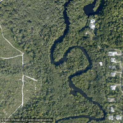
South Prong Saint Sebastian River
- Boat Ramps
- 3
- Access Points
- 3
- Campsites
- 5
The South Prong Saint Sebastian River flows through Florida's Space Coast, winding northward through Brevard and Indian River Counties before joining with the North Prong and emptying into the Indian River Lagoon. This waterway represents one of the last remaining natural river systems along Florida's lower East Coast, offering paddlers a glimpse into Old Florida's pristine wilderness.
The river's character transforms dramatically along its course. Beginning as a narrow, freshwater stream in the upper reaches near Fellsmere Road (SR 512), it gradually widens and becomes increasingly brackish as it approaches its confluence with the Indian River. The transition from fresh to saltwater creates distinct ecological zones, supporting both freshwater hardwood forests dominated by leather ferns and pond apple trees upstream, and salt-tolerant mangrove communities downstream.
Paddling opportunities span approximately 14 miles of navigable waterway, divided into three primary sections. The most popular route runs 4.5 miles between Dale Wimbrow Park and Sebastian Canoe Launch, offering flatwater conditions suitable for beginners. The upper section extends another 5.5 miles from Sebastian Canoe Launch to Donald MacDonald Campground, requiring intermediate skills due to navigation complexity through multiple branching channels. A third section connects Fellsmere Road to Dale Wimbrow Park, providing access to the river's quieter upstream reaches.
The waterway maintains no-wake designation throughout, ensuring peaceful paddling conditions year-round. However, tidal influences become pronounced near the Indian River, making timing considerations important for downstream sections. Spring through fall provides optimal conditions, though Florida's mild climate allows year-round access.
Wildlife viewing opportunities are exceptional, with the river serving as a critical manatee habitat. Paddlers regularly encounter West Indian manatees, particularly in shallow areas near sandbars and canal junctions. Alligators inhabit the system, along with river otters, various turtle species, gars, and wild hogs. Birdlife includes anhingas that roost on overhanging cabbage palms and oaks lining the narrower sections.
Geographic features include distinctive sandy bluffs along the north bank near Dale Wimbrow Park—remnants of ancient sand dunes marking a prehistoric shoreline. These steep banks, ranging 5-15 feet high, contrast sharply with the low, accessible banks found upstream where the river narrows considerably.
Access points include Dale Wimbrow Park (11805 Roseland Road) with full amenities, Sebastian Canoe Launch (9800 Canoe Launch Cove) offering basic facilities, and the Fellsmere Road bridge. No permits are required, though paddlers should carry GPS or detailed maps due to the confusing network of side channels and branches that can disorient unfamiliar visitors.
The river system connects to the broader Indian River Lagoon ecosystem, making it part of one of North America's most biodiverse estuarine environments while maintaining its character as an undeveloped natural corridor through increasingly urbanized coastal Florida.
Water access, boat ramps & amenities
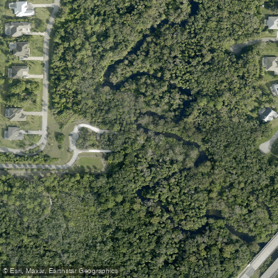
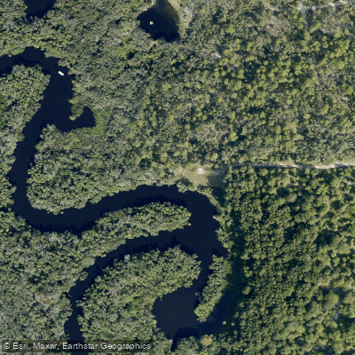
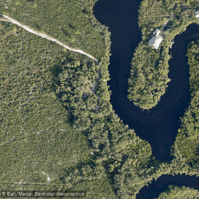
Learn how to get on South Prong Saint Sebastian River. Uncover great paddling access points, boat ramps, and all the facilities you need for an unforgettable day on the water. Some locations shown may border or include private property. Always check property boundaries and applicable regulations before visiting. PaddleWays's Public & Private Land layer can help you plan your access with confidence.
Paddle smarter with real-time insights
Whether you're en route and conditions shift or you're looking for the best spot based on current flows, we enable you to make informed decisions on the fly.








Find Places to Paddle

Over 400,000 Places to Paddle
Every user gets free access to launch points, boat ramps, and public property parcels.


Water and weather conditions (10 day forecast)
See the best times to paddle South Prong Saint Sebastian River and check the forecast before you go.
SOUTH PRONG ST SEBASTIAN RIVER NEAR SEBASTIAN,FL
Paddling near South Prong Saint Sebastian River

Saint Johns River
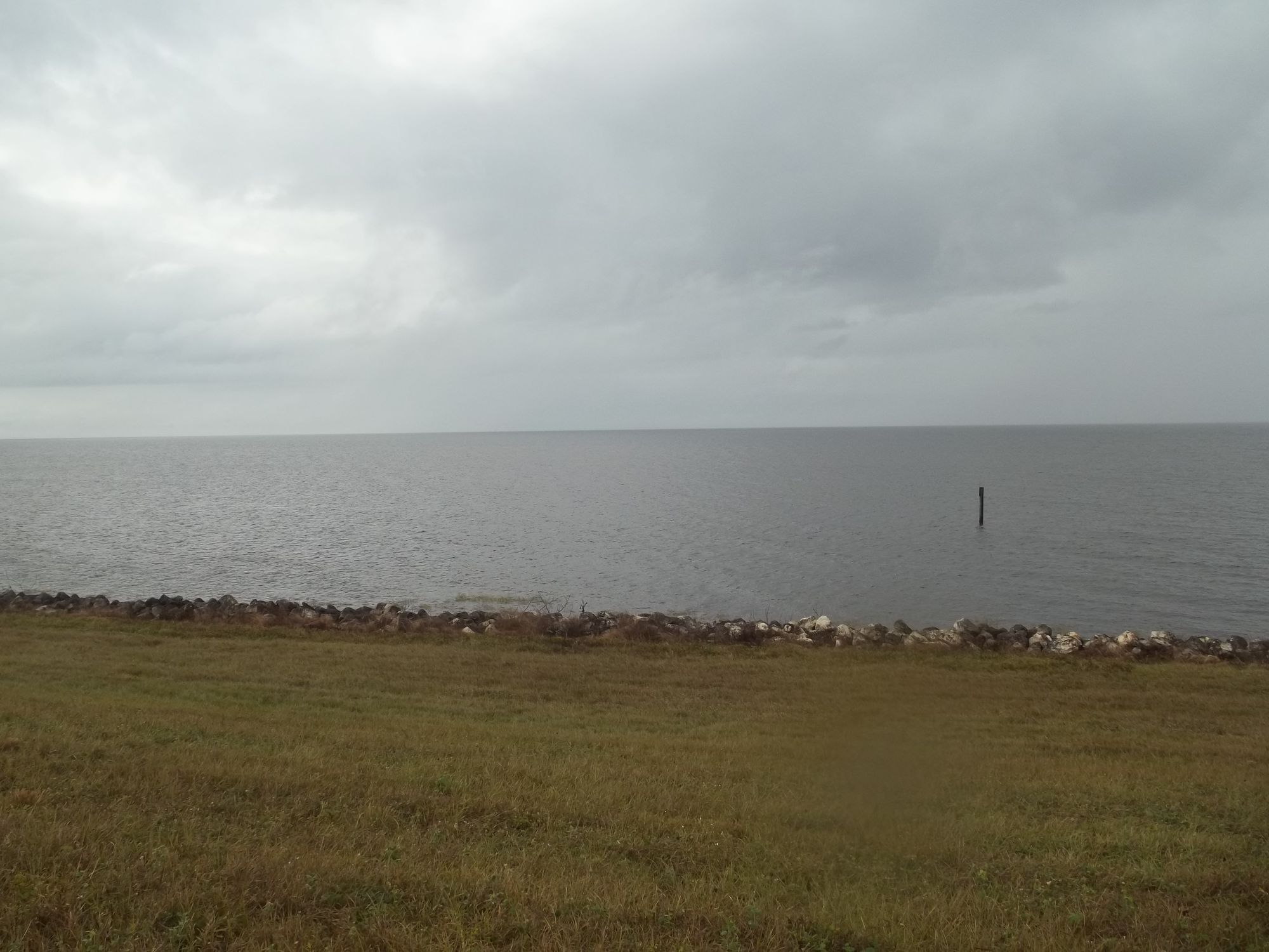
Lake Okeechobee
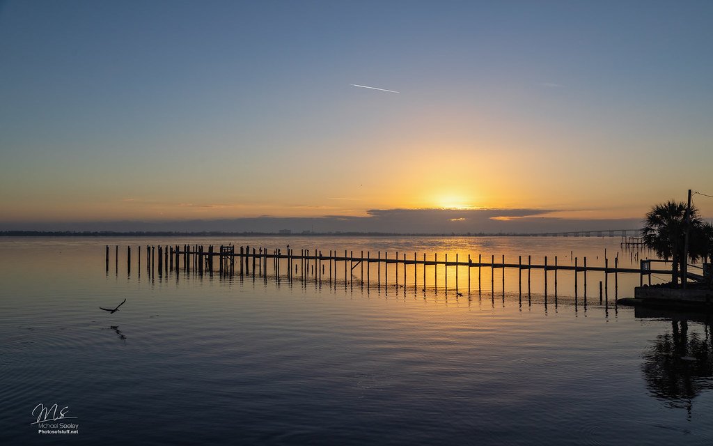
Indian River Lagoon
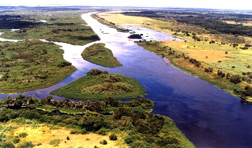
Kissimmee River
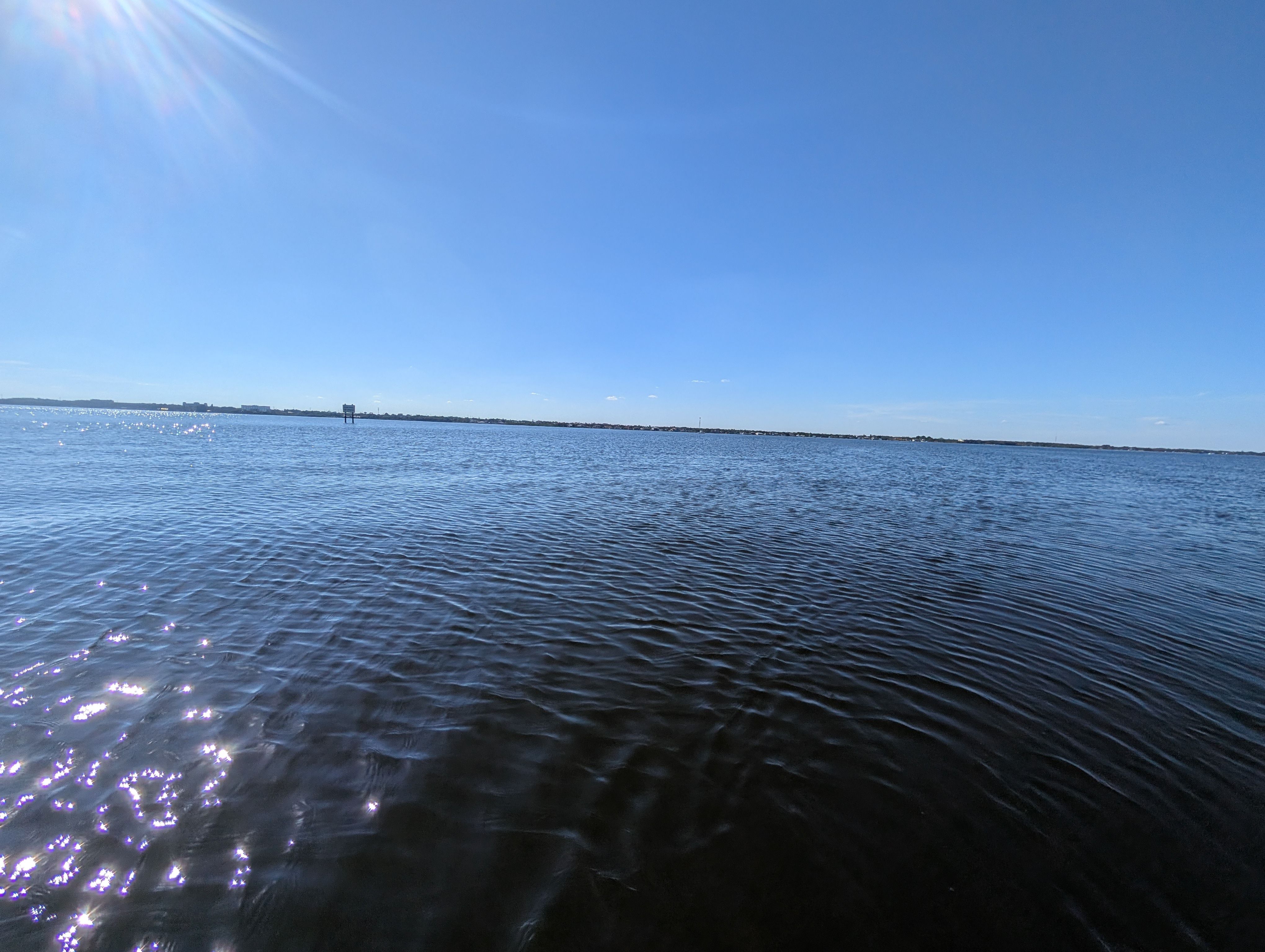
Indian River
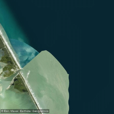
Sebastian Inlet
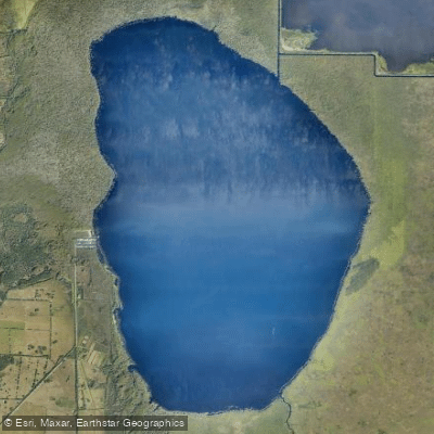
Blue Cypress Lake
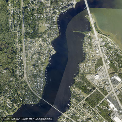
Saint Sebastian River
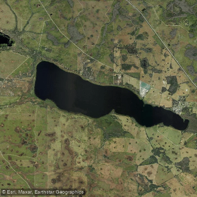
Lake Marian
Explore Florida waters
Top paddling waters
Popular Cities
Loading popular cities...
Explore near South Prong Saint Sebastian River
Access points
- Sebastian River Canoe Launch
- Cypress Bend Preserve Kayak Launch (Call Ahead to Unlock Gate 772-589-9223)
- St. Sebastian River Preserve State Park Canoe Landing (No Launching)
- St. Sebastian River Bridge
- Sebastian River Bridge
- Sebastian Canal East Bridge
- Donald Mcdonald Park Campground
- Indian River - Malabar To Vero Beach Aquatic Preserve Campground
- Whispering Palms Rv Park Campground
- Long Point Park Campground
- Sebastian Inlet State Park Campground
Nearby waters
More in Florida

Smarter Paddling Starts in the App.
Paddleways gives you everything you need to plan smarter, paddle better, and own every trip from first launch to takeout.